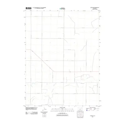
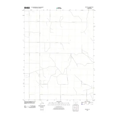
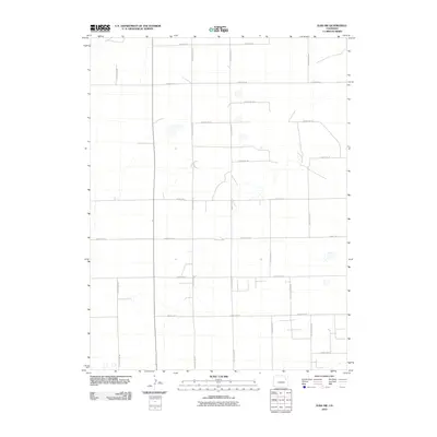
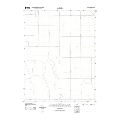
2022 Map of Dry Gulch
USGS Topo · Published 2022About this map
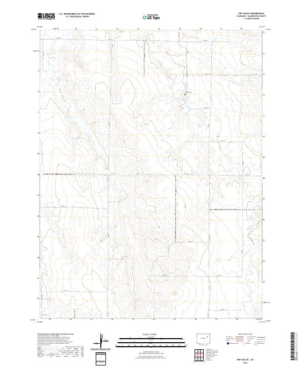
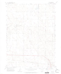
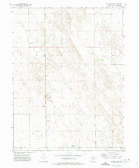
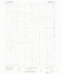
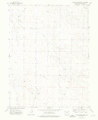
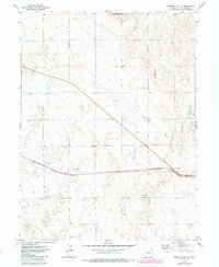
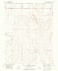
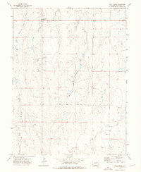
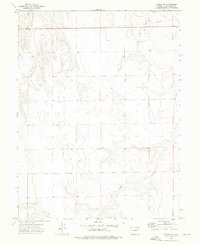
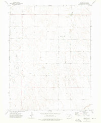
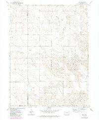
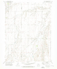
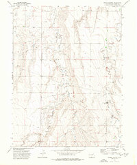
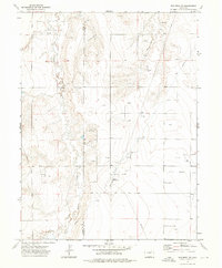
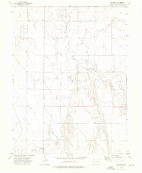
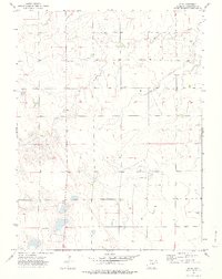
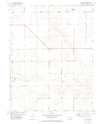
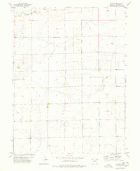
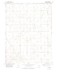
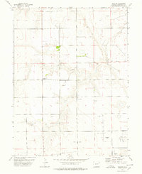
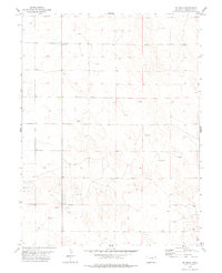
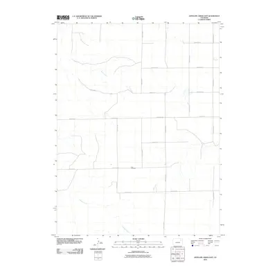
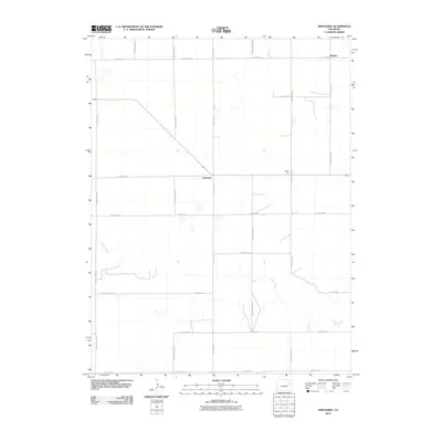
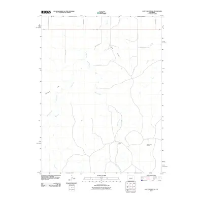
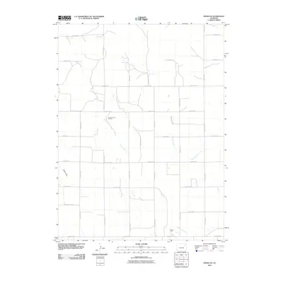
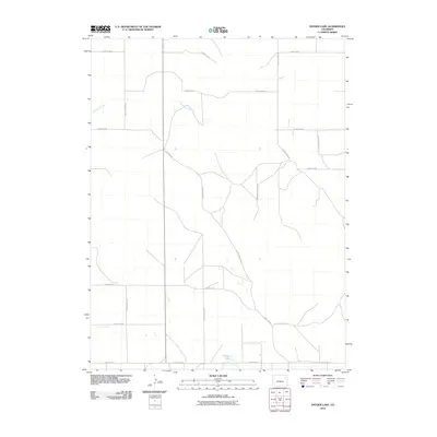
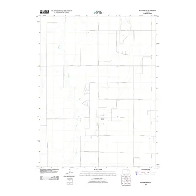
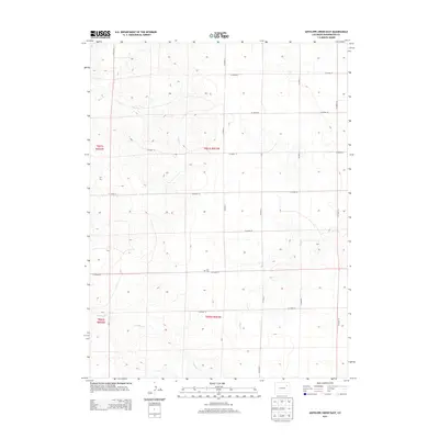
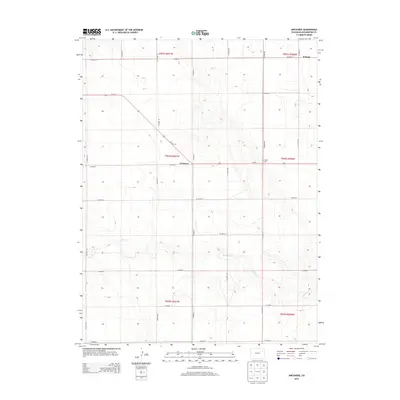
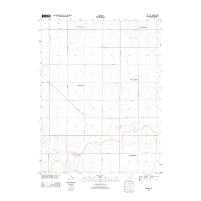
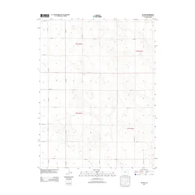
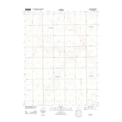
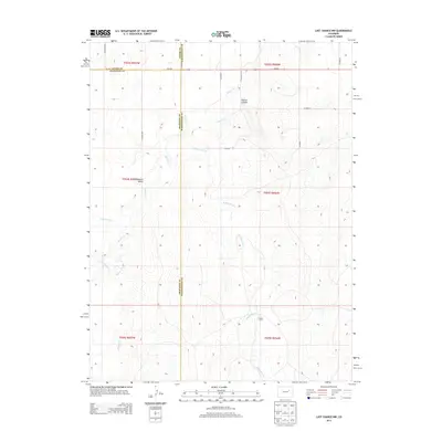
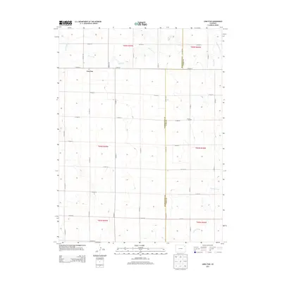
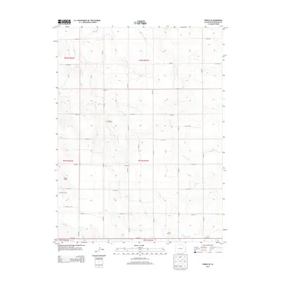
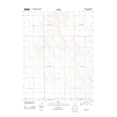
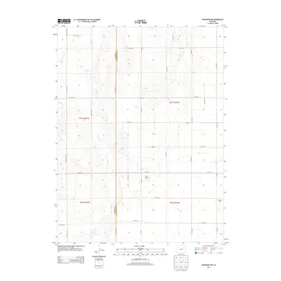
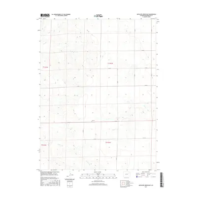
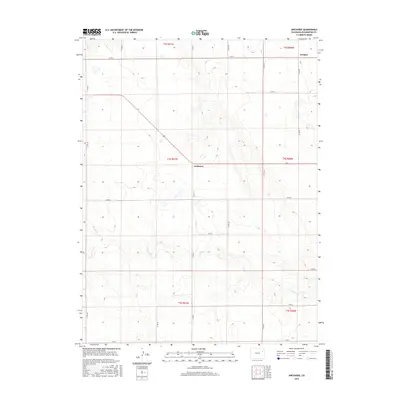
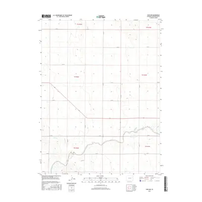
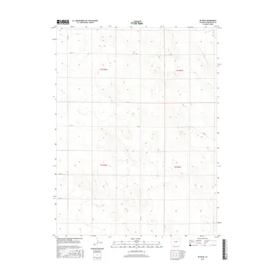
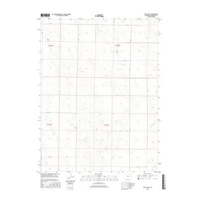
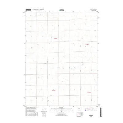
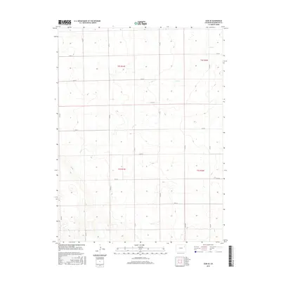
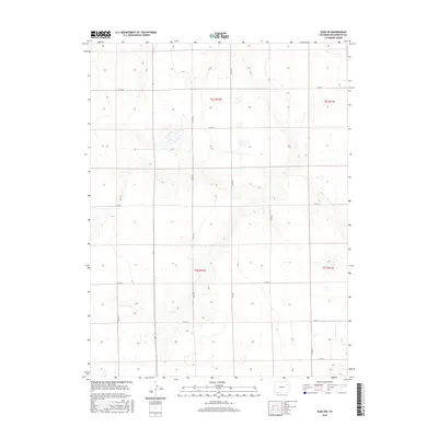
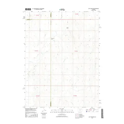
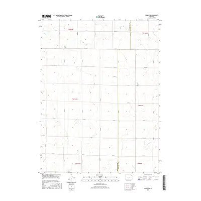
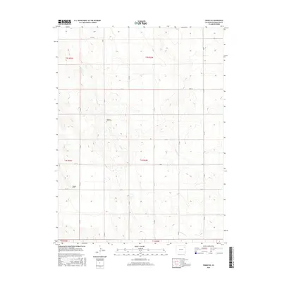
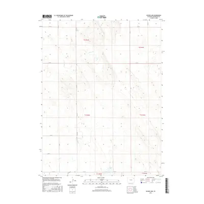
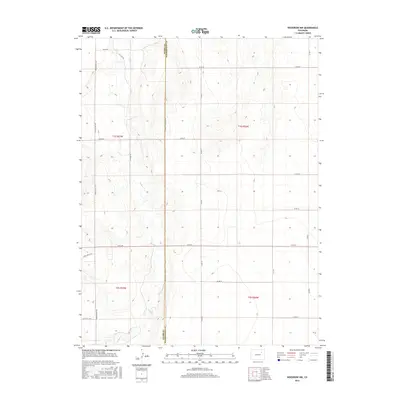
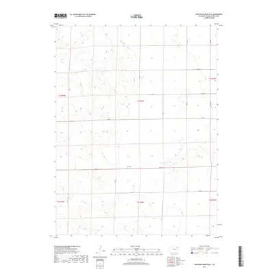
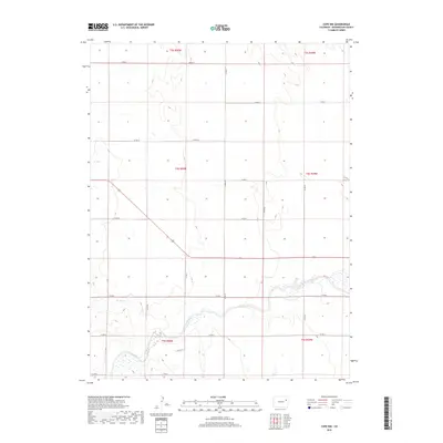
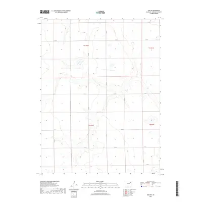
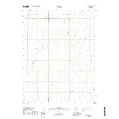
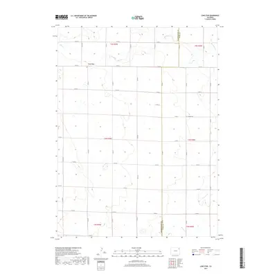
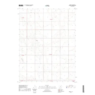
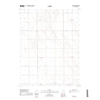
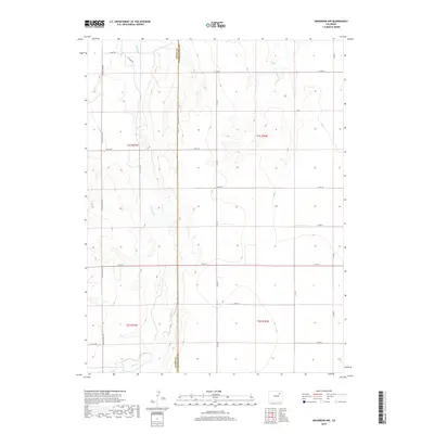
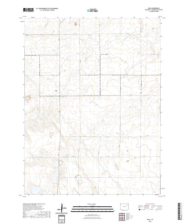
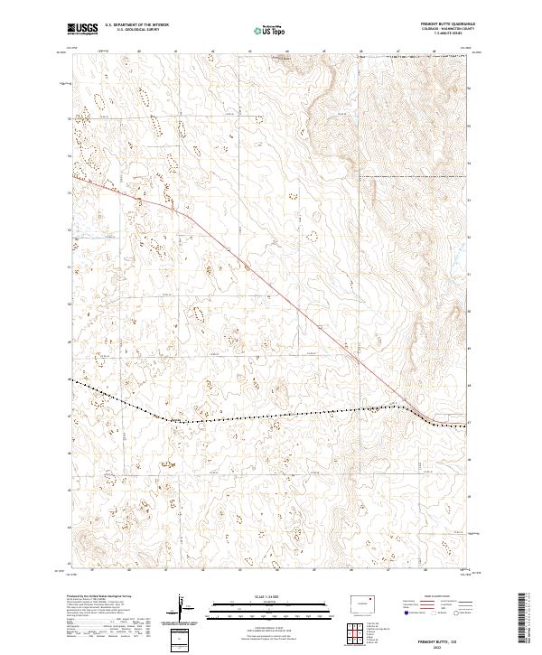
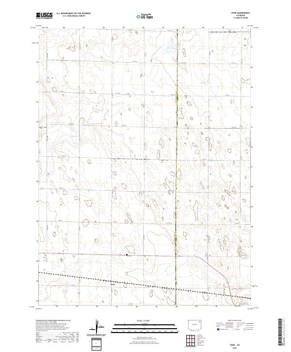
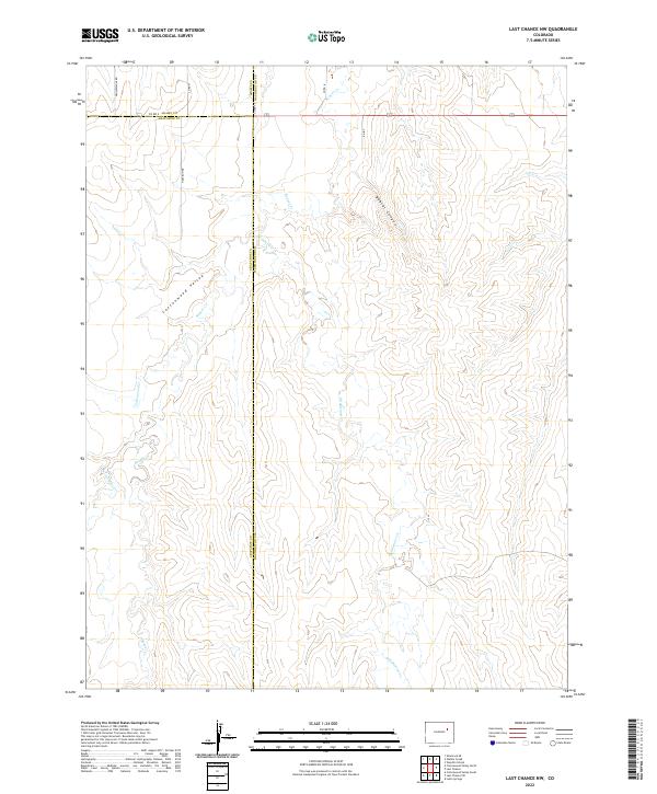
Abbott Cem stands as a focal point for genealogical research in this rural portion of Washington County, situated north of the ephemeral Sand Cr drainage. The landscape is defined by the high plains of Eastern Colorado, where a strictly rectangular grid of county roads, including Co RD 21 and Co RD S, partitions the land into large sections for agricultural and ranching use. Apart from the central cemetery, the terrain is characterized by the winding paths of Dry Gulch and Vega Cr, which cut through the open country. This 2022 survey documents the persistent rural structure of the region, showing how the land remains organized by the Public Land Survey System even as the natural watercourses follow their own erratic courses through the townships of t2s r54w and t3s r55w.
Find a feature on this map
25 named features on this map. Tap any name to fly to it.
Don’t see what you’re looking for? This feature index may not catch every label — zoom into the map to look around manually.
Map Details
Editions of this 2022 Dry Gulch Map
This is the sole edition of this map. No revisions or reprints were ever made.
Historical Maps of Washington County Through Time
241 maps found
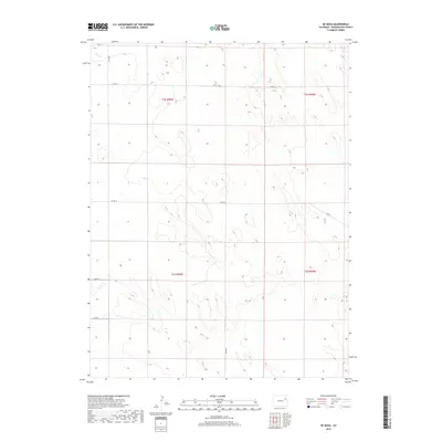
1951 Merino SE
Washington County, CO
1951 Merino SW
Washington County, CO
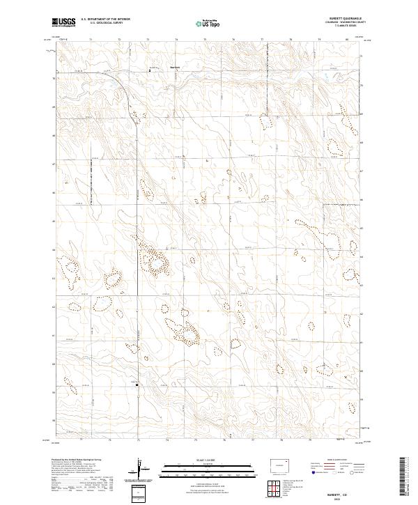
1972 Burdett
Washington County, CO
1972 Hyde
Washington County, CO
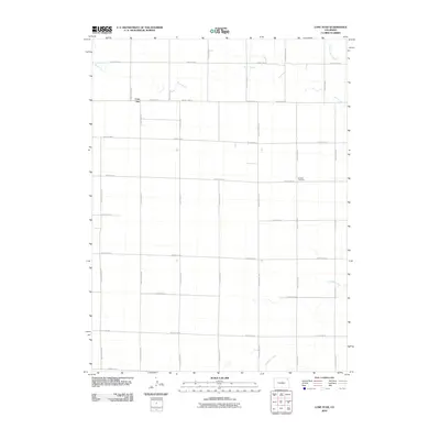
1972 Lone Star
Washington County, CO
1972 Otis SE
Washington County, CO
1972 Snyder Lake
Washington County, CO
1973 Akron SE
Washington County, CO
1973 Akron SW
Washington County, CO
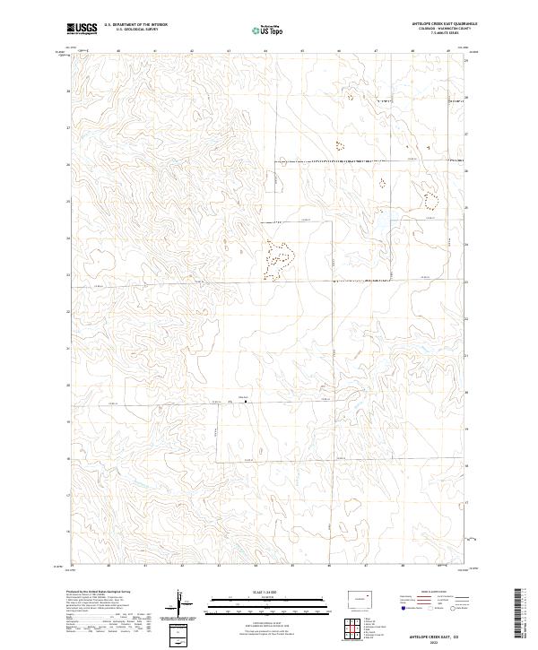
1973 Antelope Creek East
Washington County, CO
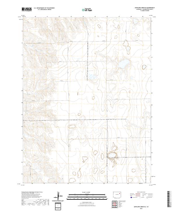
1973 Antelope Creek SE
Washington County, CO
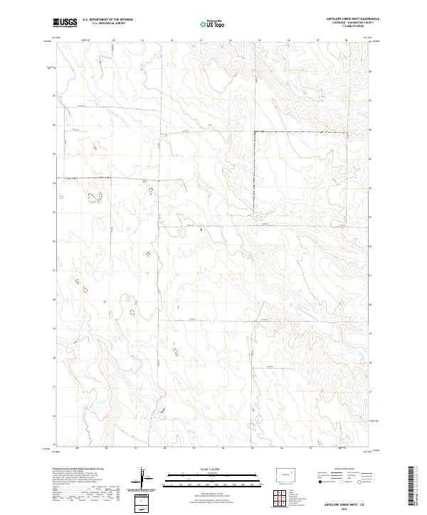
1973 Antelope Creek West
Washington County, CO
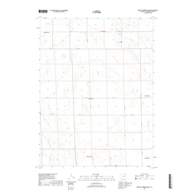
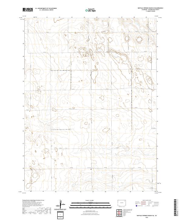
1973 Buffalo Springs Ranch SE
Washington County, CO
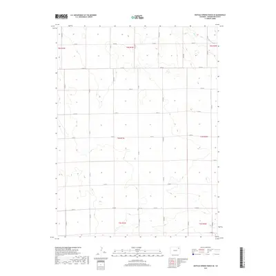
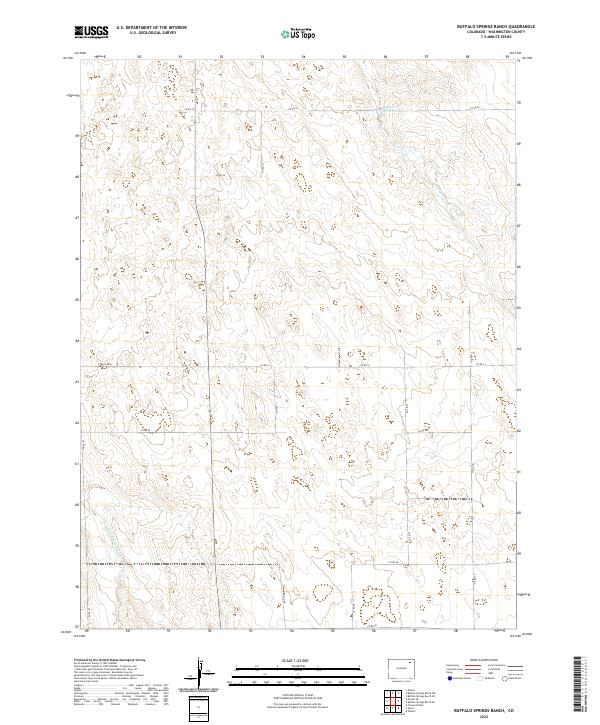
1973 Buffalo Springs Ranch
Washington County, CO
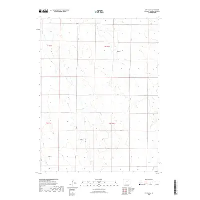
1973 Dry Gulch
Washington County, CO
1973 Fremont Butte
Washington County, CO
1973 Last Chance NW
Washington County, CO
1973 Last Chance
Washington County, CO
1973 Lindon NE
Washington County, CO
1973 Lindon
Washington County, CO
1973 Pinneo SE
Washington County, CO
1973 Pinneo
Washington County, CO
1973 Platner
Washington County, CO
1973 Rago
Washington County, CO
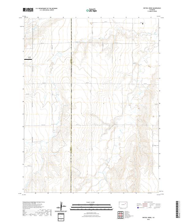
1973 Wetzel Creek
Washington County, CO
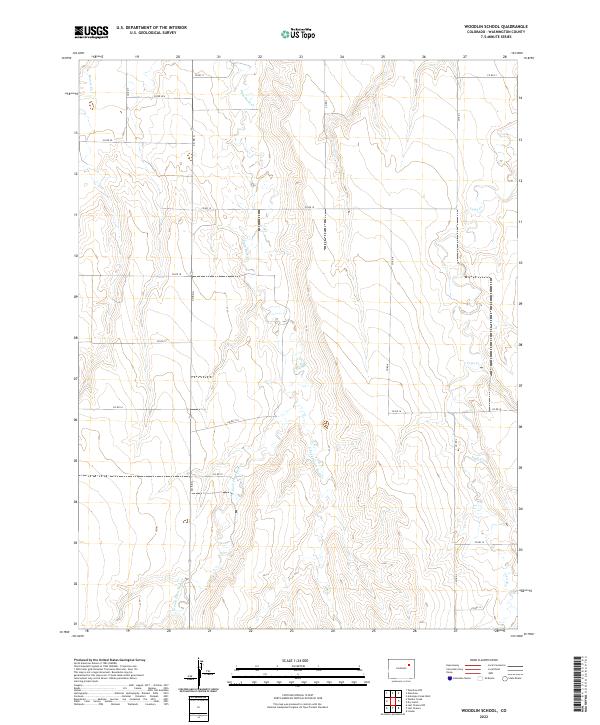
1973 Woodlin School
Washington County, CO
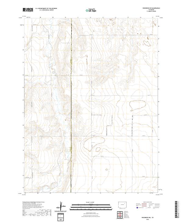
1973 Woodrow NW
Washington County, CO
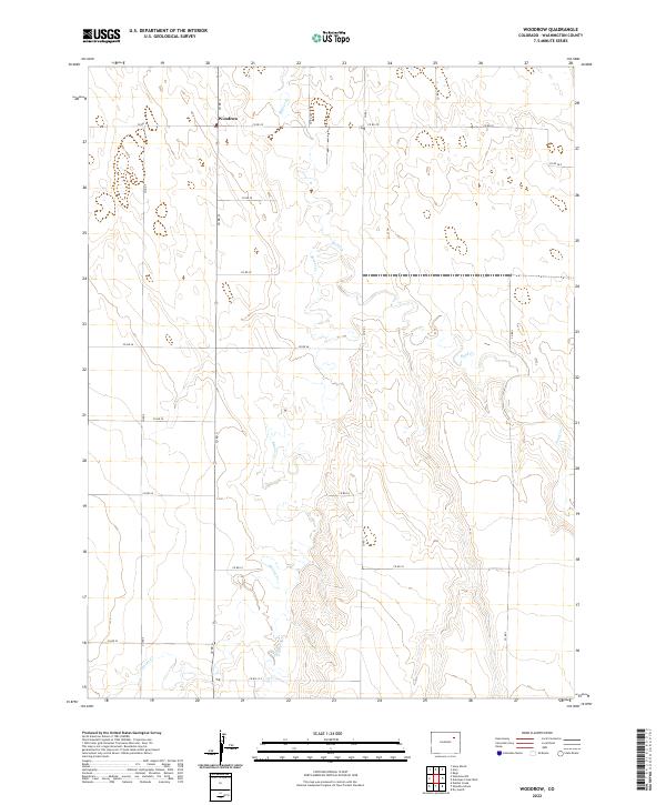
1973 Woodrow
Washington County, CO
1974 De Nova NE
Washington County, CO
1974 De Nova NW
Washington County, CO
1974 De Nova SE
Washington County, CO
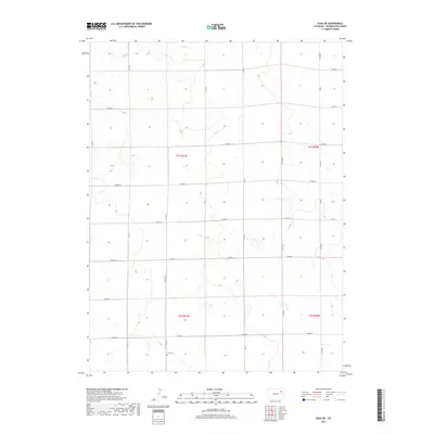
1974 Elba
Washington County, CO
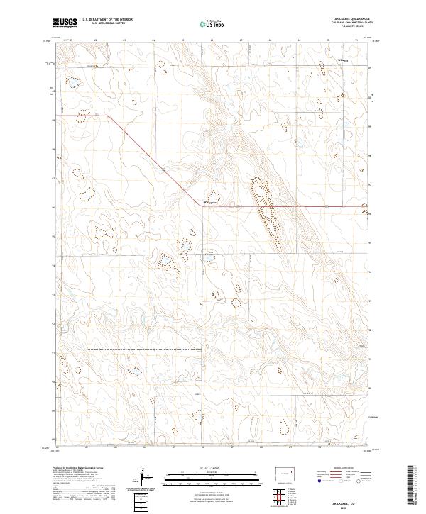
1977 Arickaree
Washington County, CO
1977 Elba NE
Washington County, CO
1977 Elba SE
Washington County, CO
1977 Elba SW
Washington County, CO
1977 Thurman
Washington County, CO
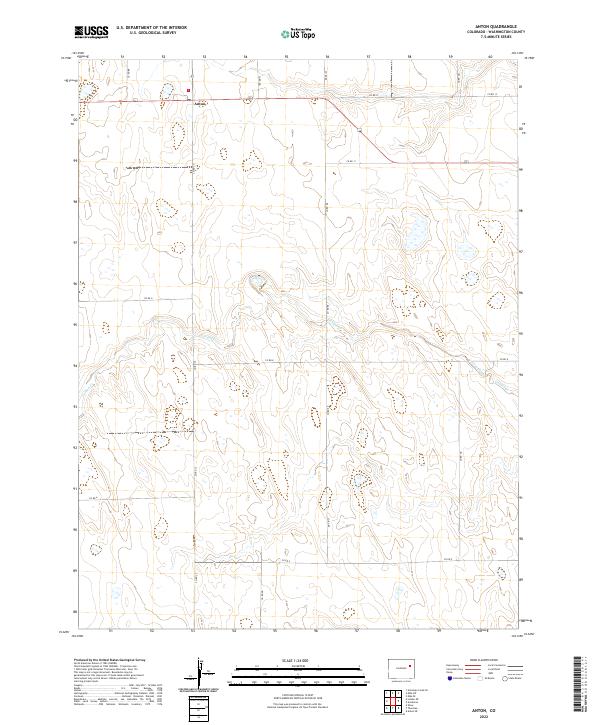
1978 Anton
Washington County, CO
1978 Cope NW
Washington County, CO
1978 De Nova
Washington County, CO
1983 Last Chance
Washington County, CO
2010 Akron SE
Washington County, CO
2010 Akron SW
Washington County, CO
2010 Antelope Creek East
Washington County, CO
2010 Antelope Creek SE
Washington County, CO
2010 Antelope Creek West
Washington County, CO
2010 Anton
Washington County, CO
2010 Arickaree
Washington County, CO
2010 Buffalo Springs Ranch SE
Washington County, CO
2010 Buffalo Springs Ranch
Washington County, CO
2010 Burdett
Washington County, CO
2010 Cope NW
Washington County, CO
2010 De Nova NE
Washington County, CO
2010 De Nova NW
Washington County, CO
2010 De Nova SE
Washington County, CO
2010 De Nova
Washington County, CO
2010 Dry Gulch
Washington County, CO
2010 Elba NE
Washington County, CO
2010 Elba SE
Washington County, CO
2010 Elba SW
Washington County, CO
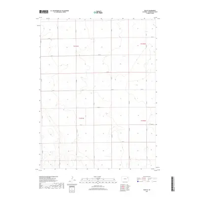
2010 Elba
Washington County, CO
2010 Fremont Butte
Washington County, CO
2010 Hyde
Washington County, CO
2010 Last Chance NW
Washington County, CO
2010 Last Chance
Washington County, CO
2010 Lindon NE
Washington County, CO
2010 Lindon
Washington County, CO
2010 Lone Star
Washington County, CO
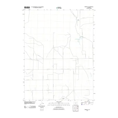
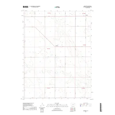
2010 Merino SE
Washington County, CO
2010 Merino SW
Washington County, CO
2010 Otis SE
Washington County, CO
2010 Pinneo SE
Washington County, CO
2010 Pinneo
Washington County, CO
2010 Platner
Washington County, CO
2010 Rago
Washington County, CO
2010 Snyder Lake
Washington County, CO
2010 Thurman
Washington County, CO
2010 Wetzel Creek
Washington County, CO
2010 Woodlin School
Washington County, CO
2010 Woodrow NW
Washington County, CO
2010 Woodrow
Washington County, CO
2013 Akron SE
Washington County, CO
2013 Akron SW
Washington County, CO
2013 Antelope Creek East
Washington County, CO
2013 Antelope Creek SE
Washington County, CO
2013 Antelope Creek West
Washington County, CO
2013 Anton
Washington County, CO
2013 Arickaree
Washington County, CO
2013 Buffalo Springs Ranch SE
Washington County, CO
2013 Buffalo Springs Ranch
Washington County, CO
2013 Burdett
Washington County, CO
2013 Cope NW
Washington County, CO
2013 De Nova NE
Washington County, CO
2013 De Nova NW
Washington County, CO
2013 De Nova SE
Washington County, CO
2013 De Nova
Washington County, CO
2013 Dry Gulch
Washington County, CO
2013 Elba NE
Washington County, CO
2013 Elba SE
Washington County, CO
2013 Elba SW
Washington County, CO
2013 Elba
Washington County, CO
2013 Fremont Butte
Washington County, CO
2013 Hyde
Washington County, CO
2013 Last Chance NW
Washington County, CO
2013 Last Chance
Washington County, CO
2013 Lindon NE
Washington County, CO
2013 Lindon
Washington County, CO
2013 Lone Star
Washington County, CO
2013 Merino SE
Washington County, CO
2013 Merino SW
Washington County, CO
2013 Otis SE
Washington County, CO
2013 Pinneo SE
Washington County, CO
2013 Pinneo
Washington County, CO
2013 Platner
Washington County, CO
2013 Rago
Washington County, CO
2013 Snyder Lake
Washington County, CO
2013 Thurman
Washington County, CO
2013 Wetzel Creek
Washington County, CO
2013 Woodlin School
Washington County, CO
2013 Woodrow NW
Washington County, CO
2013 Woodrow
Washington County, CO
2016 Akron SE
Washington County, CO
2016 Akron SW
Washington County, CO
2016 Antelope Creek East
Washington County, CO
2016 Antelope Creek SE
Washington County, CO
2016 Antelope Creek West
Washington County, CO
2016 Anton
Washington County, CO
2016 Arickaree
Washington County, CO
2016 Buffalo Springs Ranch SE
Washington County, CO
2016 Buffalo Springs Ranch
Washington County, CO
2016 Burdett
Washington County, CO
2016 Cope NW
Washington County, CO
2016 De Nova NE
Washington County, CO
2016 De Nova NW
Washington County, CO
2016 De Nova SE
Washington County, CO
2016 De Nova
Washington County, CO
2016 Dry Gulch
Washington County, CO
2016 Elba NE
Washington County, CO
2016 Elba SE
Washington County, CO
2016 Elba SW
Washington County, CO
2016 Elba
Washington County, CO
2016 Fremont Butte
Washington County, CO
2016 Hyde
Washington County, CO
2016 Last Chance NW
Washington County, CO
2016 Last Chance
Washington County, CO
2016 Lindon NE
Washington County, CO
2016 Lindon
Washington County, CO
2016 Lone Star
Washington County, CO
2016 Merino SE
Washington County, CO
2016 Merino SW
Washington County, CO
2016 Otis SE
Washington County, CO
2016 Pinneo SE
Washington County, CO
2016 Pinneo
Washington County, CO
2016 Platner
Washington County, CO
2016 Rago
Washington County, CO
2016 Snyder Lake
Washington County, CO
2016 Thurman
Washington County, CO
2016 Wetzel Creek
Washington County, CO
2016 Woodlin School
Washington County, CO
2016 Woodrow NW
Washington County, CO
2016 Woodrow
Washington County, CO
2019 Akron SE
Washington County, CO
2019 Akron SW
Washington County, CO
2019 Antelope Creek East
Washington County, CO
2019 Antelope Creek SE
Washington County, CO
2019 Antelope Creek West
Washington County, CO
2019 Anton
Washington County, CO
2019 Arickaree
Washington County, CO
2019 Buffalo Springs Ranch SE
Washington County, CO
2019 Buffalo Springs Ranch
Washington County, CO
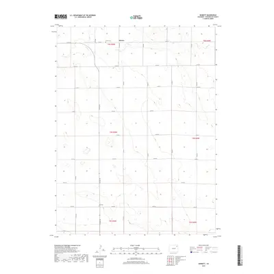
2019 Burdett
Washington County, CO
2019 Cope NW
Washington County, CO
2019 De Nova NE
Washington County, CO
2019 De Nova NW
Washington County, CO
2019 De Nova SE
Washington County, CO
2019 De Nova
Washington County, CO
2019 Dry Gulch
Washington County, CO
2019 Elba NE
Washington County, CO
2019 Elba SE
Washington County, CO
2019 Elba SW
Washington County, CO
2019 Elba
Washington County, CO
2019 Fremont Butte
Washington County, CO
2019 Hyde
Washington County, CO
2019 Last Chance NW
Washington County, CO
2019 Last Chance
Washington County, CO
2019 Lindon NE
Washington County, CO
2019 Lindon
Washington County, CO
2019 Lone Star
Washington County, CO
2019 Merino SE
Washington County, CO
2019 Merino SW
Washington County, CO
2019 Otis SE
Washington County, CO
2019 Pinneo SE
Washington County, CO
2019 Pinneo
Washington County, CO
2019 Platner
Washington County, CO
2019 Rago
Washington County, CO
2019 Snyder Lake
Washington County, CO
2019 Thurman
Washington County, CO
2019 Wetzel Creek
Washington County, CO
2019 Woodlin School
Washington County, CO
2019 Woodrow NW
Washington County, CO
2019 Woodrow
Washington County, CO
2022 Akron SE
Washington County, CO
2022 Akron SW
Washington County, CO
2022 Antelope Creek East
Washington County, CO
2022 Antelope Creek SE
Washington County, CO
2022 Antelope Creek West
Washington County, CO
2022 Anton
Washington County, CO
2022 Arickaree
Washington County, CO
2022 Buffalo Springs Ranch SE
Washington County, CO
2022 Buffalo Springs Ranch
Washington County, CO
2022 Burdett
Washington County, CO
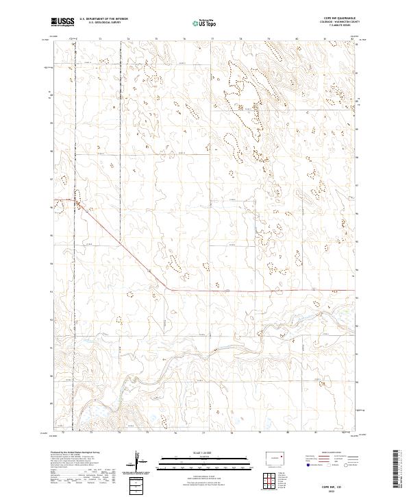
2022 Cope NW
Washington County, CO
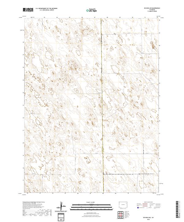
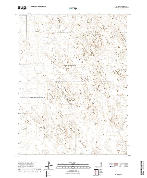
2022 De Nova NE
Washington County, CO
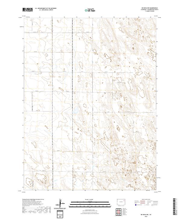
2022 De Nova NW
Washington County, CO
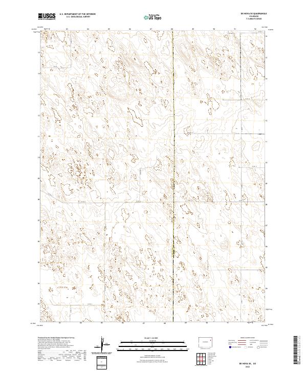
2022 De Nova SE
Washington County, CO
2022 De Nova
Washington County, CO
2022 Dry Gulch
Washington County, CO
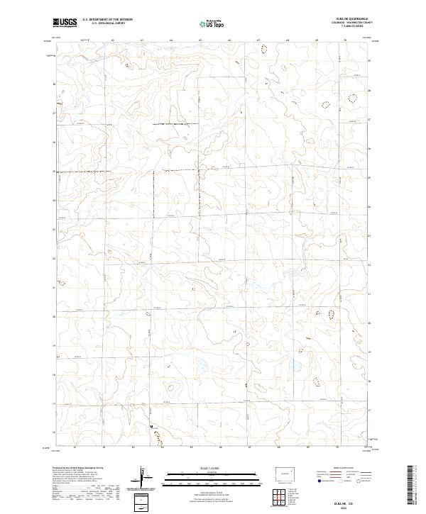
2022 Elba NE
Washington County, CO
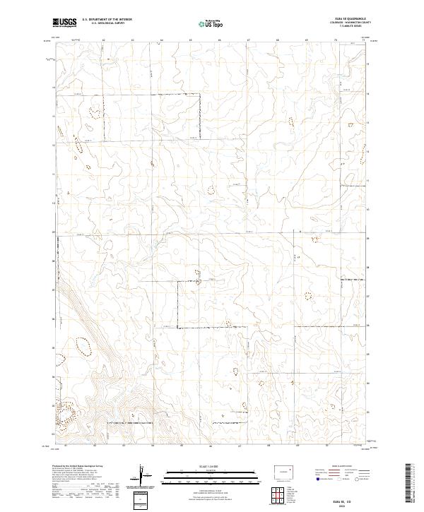
2022 Elba SE
Washington County, CO
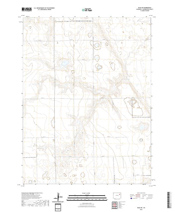
2022 Elba SW
Washington County, CO
2022 Elba
Washington County, CO
2022 Fremont Butte
Washington County, CO
2022 Hyde
Washington County, CO
2022 Last Chance NW
Washington County, CO
2022 Last Chance
Washington County, CO
2022 Lindon NE
Washington County, CO
2022 Lindon
Washington County, CO
2022 Lone Star
Washington County, CO

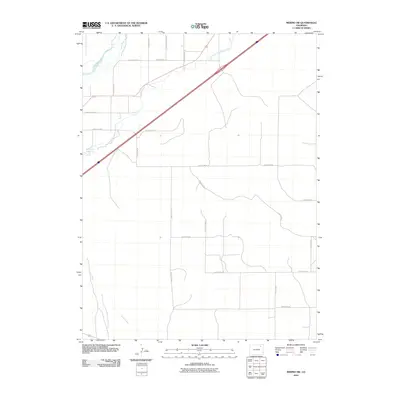
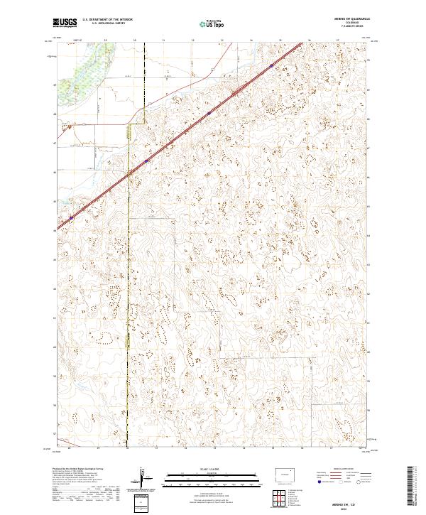
2022 Merino SE
Washington County, CO
2022 Merino SW
Washington County, CO
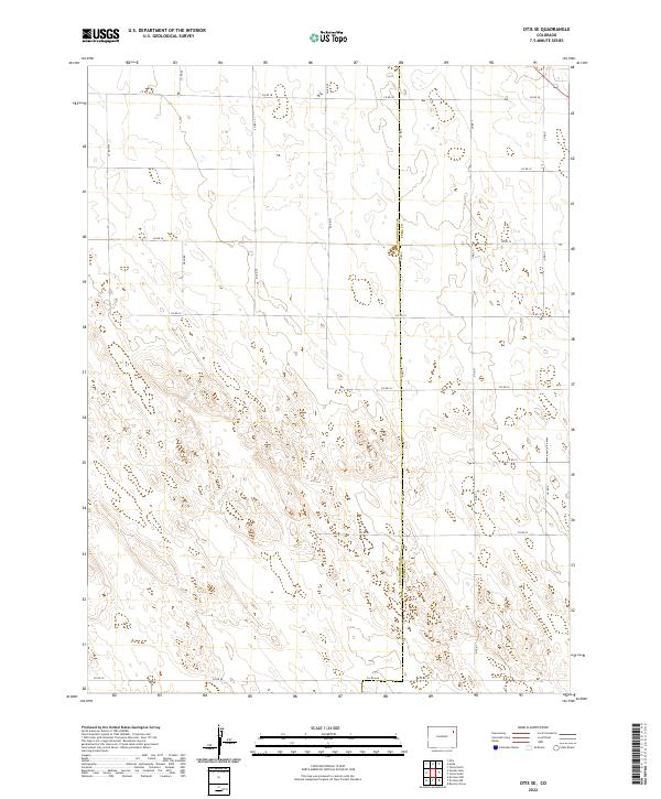
2022 Otis SE
Washington County, CO
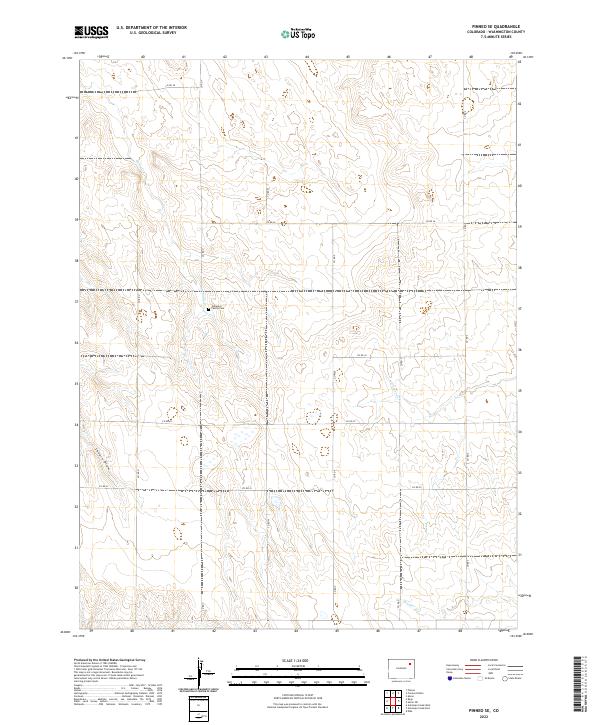
2022 Pinneo SE
Washington County, CO
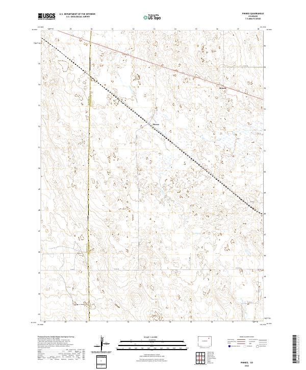
2022 Pinneo
Washington County, CO
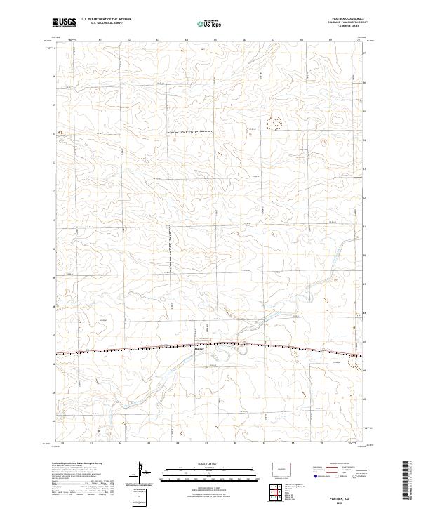
2022 Platner
Washington County, CO
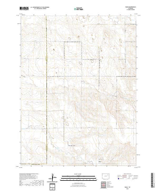
2022 Rago
Washington County, CO
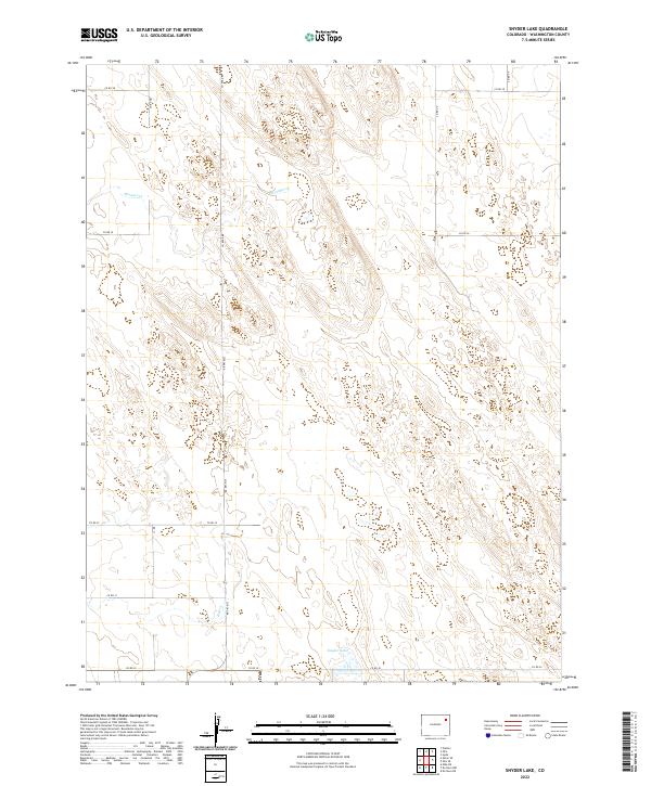
2022 Snyder Lake
Washington County, CO
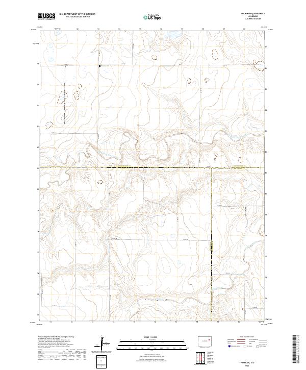
2022 Thurman
Washington County, CO
2022 Wetzel Creek
Washington County, CO
2022 Woodlin School
Washington County, CO
2022 Woodrow NW
Washington County, CO
2022 Woodrow
Washington County, CO