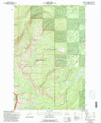
1994 Map of Hemlock Lake
USGS Topo · Published 1996About this map
Mission Mountains dominate this 1990s revision, where the crest of the range forms the eastern edge of a high-altitude wilderness. The landscape is defined by its complex hydrology, with the Flathead National Forest protecting the headwaters of numerous drainages including Elk Creek, Windfall Creek, and Glacier Creek. This specific area is part of a strictly managed Grizzly Bear Conservation Zone, indicating its importance as an intact high-country habitat. High alpine lakes like Hemlock Lake, Conko Lake, and Cheff Lake are scattered across the cirques and basins below peaks such as Hemlock Point and Red Butte. The map reveals a transition in management across the Lake Co Missoula Co line, with the Mission Mountains Wilderness boundary enclosing the most remote and roadless terrain where the North Fork Elk Creek originates.
Find a feature on this map
35 named features on this map. Tap any name to fly to it.
Don’t see what you’re looking for? This feature index may not catch every label — zoom into the map to look around manually.
Map Details
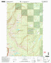
Editions of this 1994 Hemlock Lake Map
2 editions found
Other maps of this area

1921 · Elbow Lake
USGS Topo · 1:125,000

1955 · Choteau
USGS Topo · 1:250,000

1957 · Choteau
USGS Topo · 1:250,000

1958 · Choteau
USGS Topo · 1:250,000

1962 · Choteau
USGS Topo · 1:250,000

1965 · Peck Lake
USGS Topo · 1:24,000

1965 · Condon
USGS Topo · 1:24,000

1965 · Gray Wolf Lake
USGS Topo · 1:24,000

1965 · Lake Marshall
USGS Topo · 1:24,000
1965 · St Marys Lake
USGS Topo · 1:24,000