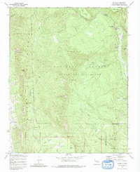
1970 Map of Gilman
USGS Topo · Published 1982About this map
Gilman sits at a critical bend of the Rio Guadalupe, where the canyon walls transition from the Guadalupe Box into broader mesa country. This 1970s landscape is defined by the intersection of several historic land claims, including the Cañon de San Diego Grant, the Jemez Pueblo, and the Santa Fe National Forest. The map details a complex hydrologic network of springs used for water management in this arid environment, such as Crow Springs, Navajo Springs, and Log Springs, alongside an aqueduct following the contours of the Sierra Nacimiento. Higher elevations like Pajarito Peak and Holiday Mesa offer a glimpse into the rugged topography that shaped early New Mexican settlement and transport, while remote spots like Deer Creek Landing suggest the importance of specific points of river access.
Find a feature on this map
39 named features on this map. Tap any name to fly to it.
Don’t see what you’re looking for? This feature index may not catch every label — zoom into the map to look around manually.
Map Details
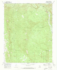
Editions of this 1970 Gilman Map
2 editions found
Other maps of this area

1890 · Jemes
USGS Topo · 1:125,000

1892 · Jemes
USGS Topo · 1:125,000

1937 · Jemez Springs
USGS Topo · 1:48,000

1939 · La Ventana
USGS Topo · 1:62,500

1939 · San Ysidro
USGS Topo · 1:62,500

1943 · San Ysidro
USGS Topo · 1:62,500

1943 · Jemez
USGS Topo · 1:62,500

1943 · La Ventana
USGS Topo · 1:62,500

1944 · Jemez Springs
USGS Topo · 1:62,500

1952 · Jemez Springs
USGS Topo · 1:62,500