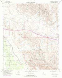
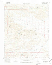
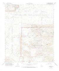
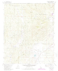
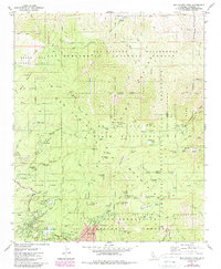
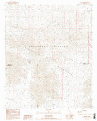
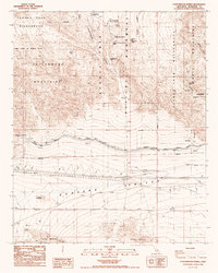
2022 Map of Corona North
USGS Topo · Published 2022About this map
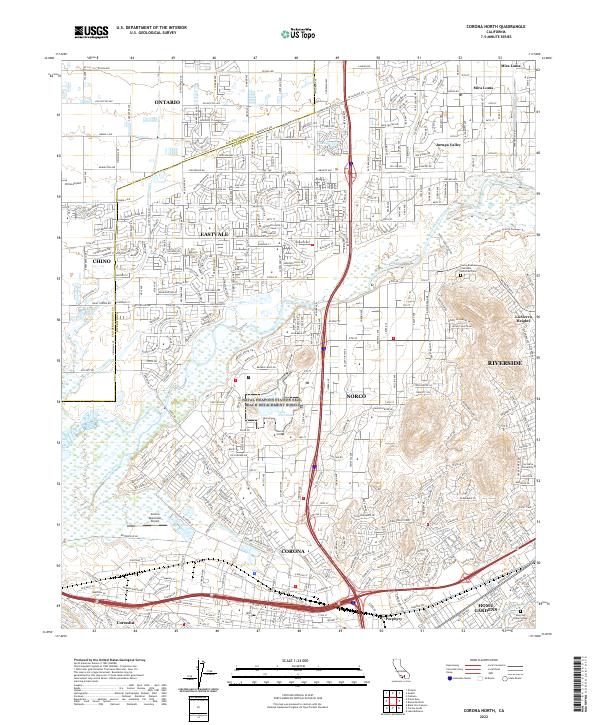
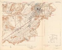
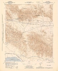
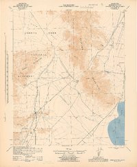
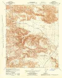
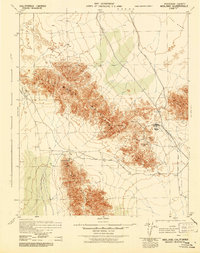
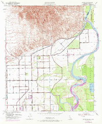
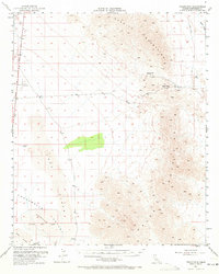
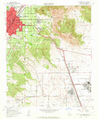
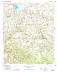
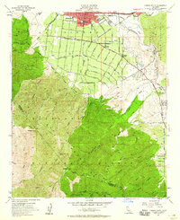
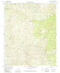
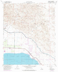
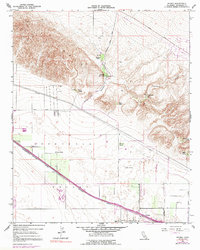
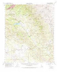
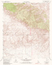
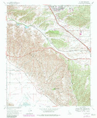
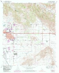
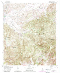
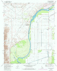
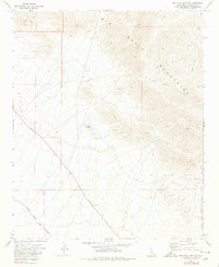
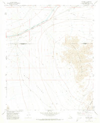
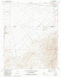
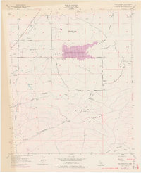
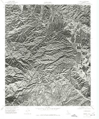
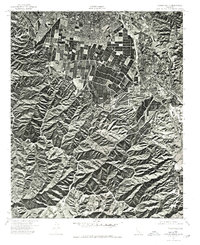
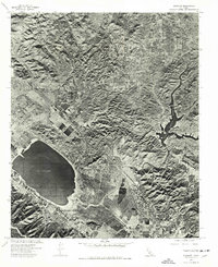
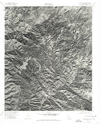
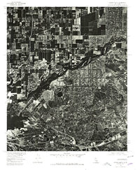
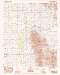
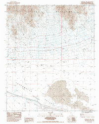
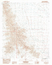
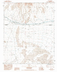
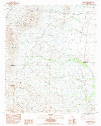
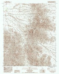
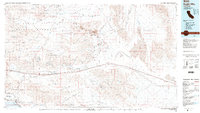
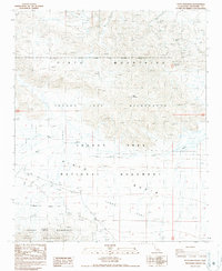
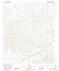
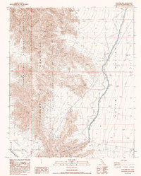
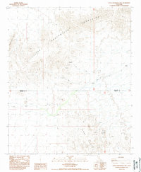
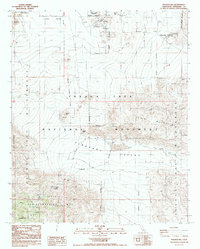
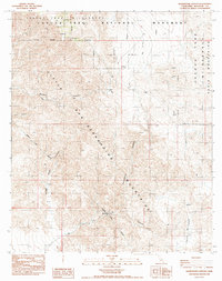
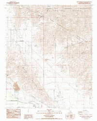
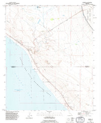
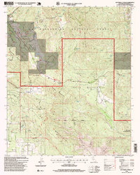
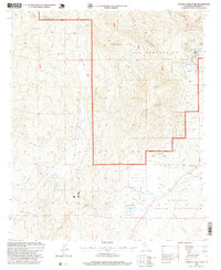
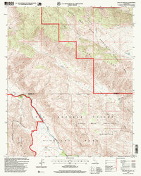
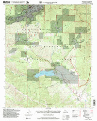
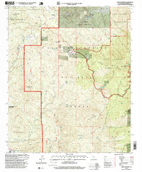
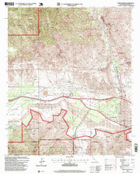
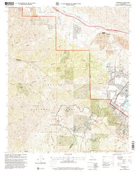
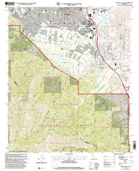
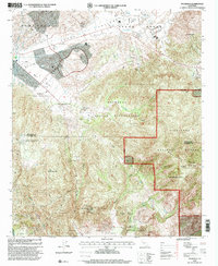
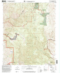
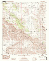
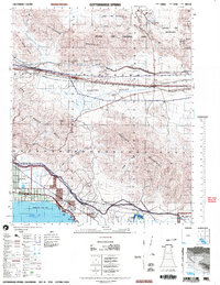
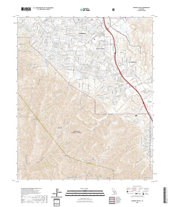
The Santa Ana River winds through this heavily developed region of the Inland Empire, defining the boundaries between several established communities during the early 2020s. Centered on Norco and Corona, the map reveals a landscape where equestrian-oriented neighborhoods and sprawling residential tracts meet significant institutional grounds like Norco College and La Sierra University. To the north, Eastvale and Jurupa Valley show dense modern suburbanization, while the presence of Lake Norconian and the Riverside Canal reflect long-standing water management systems in this part of Riverside County. Aviation activity is prominent at the margins, with Chino Airport to the west and the Corona Municipal Airport tucked near the riverbanks. For genealogists and local historians, several landmarks offer research value, including the Pierce Brothers Crestlawn Memorial Park and the Sherman Indian School Cem near Home Gardens.
Find a feature on this map
49 named features on this map. Tap any name to fly to it.
Don’t see what you’re looking for? This feature index may not catch every label — zoom into the map to look around manually.
Map Details
Editions of this 2022 Corona North Map
This is the sole edition of this map. No revisions or reprints were ever made.
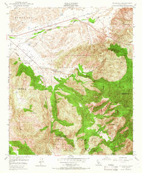
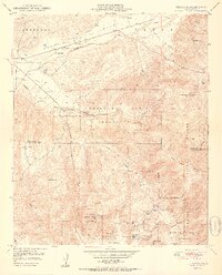
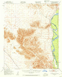
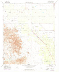
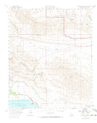
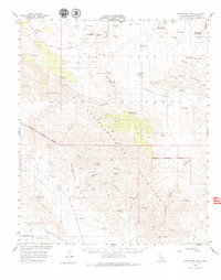
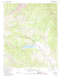
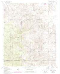
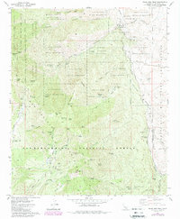
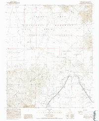
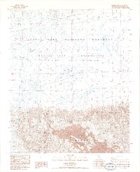
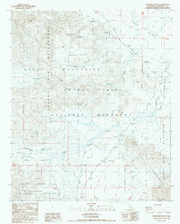
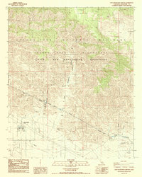
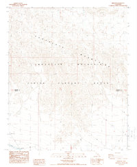
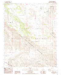
Historical Maps of Ontario Ranch Through Time
275 maps found
1901 Elsinore
Riverside County, CA
1940 Canyon Spring
Riverside County, CA

1940 Cottonwood Spring
Riverside County, CA

1940 Hemet Reservoir
Riverside County, CA

1941 Edom
Riverside County, CA

1941 Toro Peak
Riverside County, CA
1942 Corona and Vicinity
Riverside County, CA

1942 Hemet Reservoir
Riverside County, CA
1942 Riverside and Vicinity
Riverside County, CA

1943 Canyon Spring
Riverside County, CA
1943 Coxcomb Mountains
Riverside County, CA
1943 Pinkham Well
Riverside County, CA
1944 Chuckwalla Mountains
Riverside County, CA
1944 Cottonwood Spring
Riverside County, CA
1944 Coxcomb Mountains
Riverside County, CA
1944 Eagle Tank
Riverside County, CA

1944 Edom
Riverside County, CA
1944 Pinkham Well
Riverside County, CA

1944 Pinyon Well
Riverside County, CA

1944 Toro peak
Riverside County, CA

1945 Big Maria Mtns
Riverside County, CA
1945 Midland
Riverside County, CA
1949 Pechanga
Riverside County, CA
1950 Pechanga
Riverside County, CA
1951 Big Maria Mts
Riverside County, CA
1951 Blythe NE
Riverside County, CA
1951 Mc Coy Wash
Riverside County, CA
1952 McCoy Spring
Riverside County, CA
1952 Midland
Riverside County, CA
1952 Palen Mountains
Riverside County, CA
1952 Sidewinder Well
Riverside County, CA
1953 Bachelor Mtn
Riverside County, CA
1953 El Casco
Riverside County, CA
1953 Riverside East
Riverside County, CA
1953 Riverside West
Riverside County, CA
1953 Steele Peak
Riverside County, CA
1953 Sunnymead
Riverside County, CA
1953 Vail Lake
Riverside County, CA
1954 Alberhill
Riverside County, CA
1954 Big Maria Mts. NE
Riverside County, CA
1954 Corona North
Riverside County, CA
1954 Corona South
Riverside County, CA
1954 Sitton Peak
Riverside County, CA
1955 Big Maria Mts. SE
Riverside County, CA
1955 White Water
Riverside County, CA
1956 Durmid
Riverside County, CA
1956 Frink NW
Riverside County, CA
1956 Lake Fulmor
Riverside County, CA
1956 Salton
Riverside County, CA
1956 Thermal Canyon
Riverside County, CA
1956 Valerie
Riverside County, CA
1958 Cottonwood Spring
Riverside County, CA
1958 Lost Horse Mtn
Riverside County, CA
1958 Mortmar
Riverside County, CA
1958 Myoma
Riverside County, CA
1958 Orocopia Canyon
Riverside County, CA

1958 Seven Palms Valley
Riverside County, CA
1959 Collins Valley
Riverside County, CA
1959 Idyllwild
Riverside County, CA
1959 Rabbit Peak
Riverside County, CA
1960 Beauty Mountain
Riverside County, CA
1960 Bucksnort Mtn
Riverside County, CA
1960 Clark Lake NE
Riverside County, CA
1963 Chuckwalla Mountains
Riverside County, CA
1963 Coxcomb Mountains
Riverside County, CA
1963 Hayfield
Riverside County, CA
1963 Hexie Mountains
Riverside County, CA
1963 Pinto Basin
Riverside County, CA
1967 Corona North
Riverside County, CA
1967 Corona South
Riverside County, CA
1967 El Casco
Riverside County, CA
1967 Riverside East
Riverside County, CA
1967 Riverside West
Riverside County, CA
1967 Steele Peak
Riverside County, CA
1967 Sunnymead
Riverside County, CA
1968 Pechanga
Riverside County, CA
1970 Parker SW
Riverside County, CA
1971 Big Maria Mts. NW
Riverside County, CA
1971 Big Maria Mts SW
Riverside County, CA
1971 Grommet
Riverside County, CA
1971 Vidal
Riverside County, CA
1973 Bachelor Mtn
Riverside County, CA
1974 Alberhill
Riverside County, CA
1974 Corona South
Riverside County, CA
1974 Elsinore
Riverside County, CA
1974 Sitton Peak
Riverside County, CA
1975 Corona North
Riverside County, CA
1975 Palm Springs SW
Riverside County, CA
1978 Durmid
Riverside County, CA
1981 Butterfly Peak
Riverside County, CA
1981 Cahuilla Mtn
Riverside County, CA
1981 Idyllwild
Riverside County, CA
1981 Martinez Mtn
Riverside County, CA
1981 Palm View Peak
Riverside County, CA
1981 San Jacinto Peak
Riverside County, CA
1981 Toro Peak
Riverside County, CA
1982 Blackburn Canyon
Riverside County, CA
1983 Arica Mountains
Riverside County, CA
1983 Arlington Mine
Riverside County, CA
1983 Aztec Mines
Riverside County, CA
1983 East of Aztec Mines
Riverside County, CA
1983 East of Granite Pass
Riverside County, CA
1983 Ford Dry Lake
Riverside County, CA
1983 Hopkins Well
Riverside County, CA
1983 Inca
Riverside County, CA
1983 Little Maria Mountains
Riverside County, CA
1983 Mc Coy Peak
Riverside County, CA
1983 McCoy Spring
Riverside County, CA
1983 Palen Lake
Riverside County, CA
1983 Palen Pass
Riverside County, CA
1983 Rice
Riverside County, CA
1983 Roosevelt Mine
Riverside County, CA
1983 Sidewinder Well
Riverside County, CA
1983 Styx
Riverside County, CA
1983 Thumb Peak
Riverside County, CA
1983 West of Palen Pass
Riverside County, CA
1983 Wiley Well
Riverside County, CA
1985 Granite Pass
Riverside County, CA
1985 Palen Mountains
Riverside County, CA
1986 Buzzard Spring
Riverside County, CA
1986 Conejo Well
Riverside County, CA
1986 Corn Spring
Riverside County, CA
1986 Eagle Mountains
Riverside County, CA
1986 Fried Liver Wash
Riverside County, CA
1986 Hayfield Spring
Riverside County, CA
1986 Pilot Mountain
Riverside County, CA
1986 Pinto Mountain
Riverside County, CA
1986 Pinto Wells
Riverside County, CA
1986 Placer Canyon
Riverside County, CA
1986 Porcupine Wash
Riverside County, CA
1986 Red Canyon
Riverside County, CA
1986 Red Cloud Canyon
Riverside County, CA
1986 San Bernardino Wash
Riverside County, CA

1986 Washington Wash
Riverside County, CA
1987 Augustine Pass
Riverside County, CA
1987 Coxcomb Mts
Riverside County, CA
1987 East of Red Canyon
Riverside County, CA
1987 East of Victory Pass
Riverside County, CA
1987 Hayfield
Riverside County, CA
1987 Iris Pass
Riverside County, CA
1987 Victory Pass
Riverside County, CA
1988 Chuckwalla Spring
Riverside County, CA
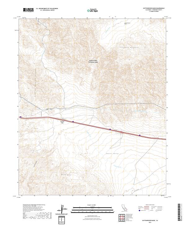
1988 Cottonwood Basin
Riverside County, CA
1988 Cottonwood Spring
Riverside County, CA
1988 East Deception Canyon
Riverside County, CA
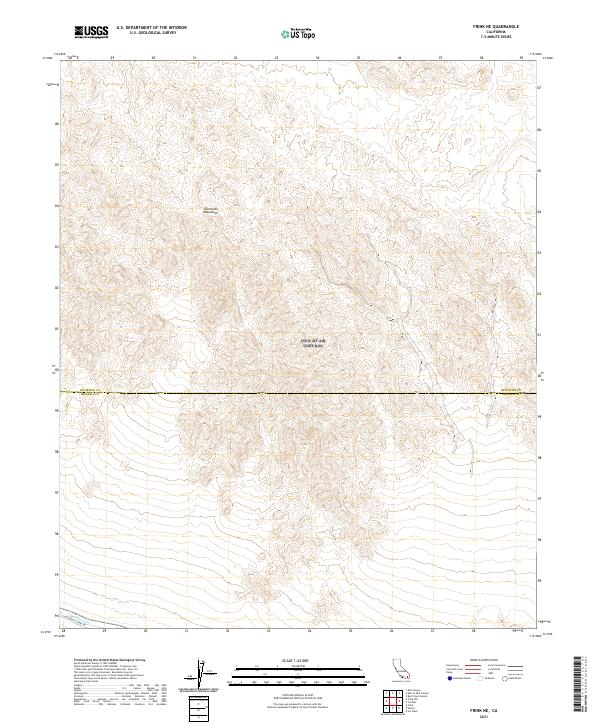
1988 Frink NE
Riverside County, CA
1988 Keys View
Riverside County, CA
1988 Little Chuckwalla Mountains
Riverside County, CA
1988 Malapai Hill
Riverside County, CA
1988 Rockhouse Canyon
Riverside County, CA
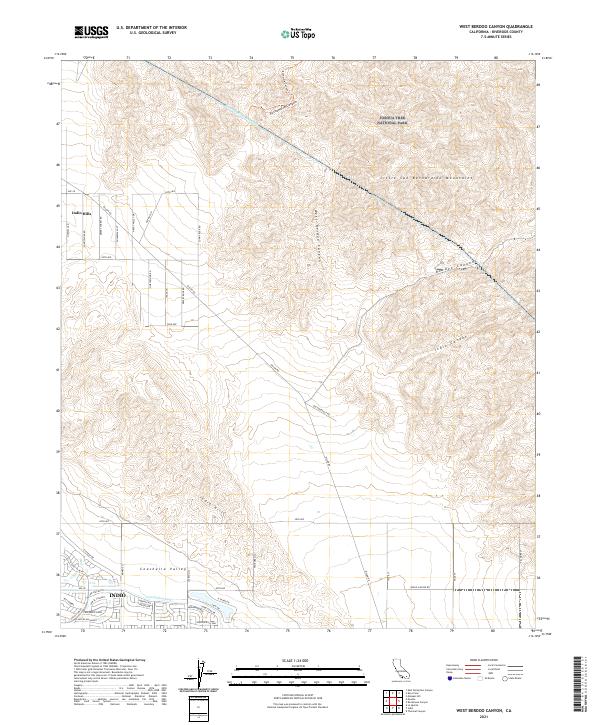
1988 West Berdoo Canyon
Riverside County, CA
1992 Durmid
Riverside County, CA
1992 Frink NW
Riverside County, CA
1992 Salton
Riverside County, CA
1996 Blackburn Canyon
Riverside County, CA
1996 Butterfly Peak
Riverside County, CA
1996 Cahuilla Mountain
Riverside County, CA
1996 Collins Valley
Riverside County, CA
1996 Idyllwild
Riverside County, CA
1996 Lake Fulmor
Riverside County, CA

1996 Martinez Mountain
Riverside County, CA
1996 Palm View Peak
Riverside County, CA
1996 San Jacinto Peak
Riverside County, CA
1996 Toro Peak
Riverside County, CA
1996 White Water
Riverside County, CA
1997 Alberhill
Riverside County, CA
1997 Corona South
Riverside County, CA
1997 Pechanga
Riverside County, CA
1997 Sitton Peak
Riverside County, CA
1997 Vail Lake
Riverside County, CA
1998 Durmid
Riverside County, CA
1998 Frink NW
Riverside County, CA
1998 Keys View
Riverside County, CA
1998 Salton
Riverside County, CA
2002 Chuckwalla Mountains
Riverside County, CA
2002 Hayfield
Riverside County, CA
2003 Cottonwood Spring
Riverside County, CA
2021 Alberhill
Riverside County, CA
2021 Arica Mountains
Riverside County, CA
2021 Arlington Mine
Riverside County, CA
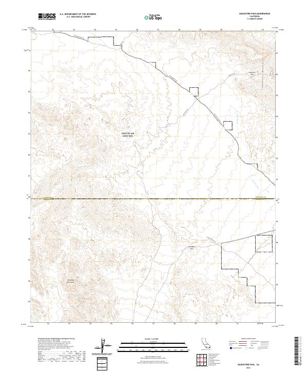
2021 Augustine Pass
Riverside County, CA
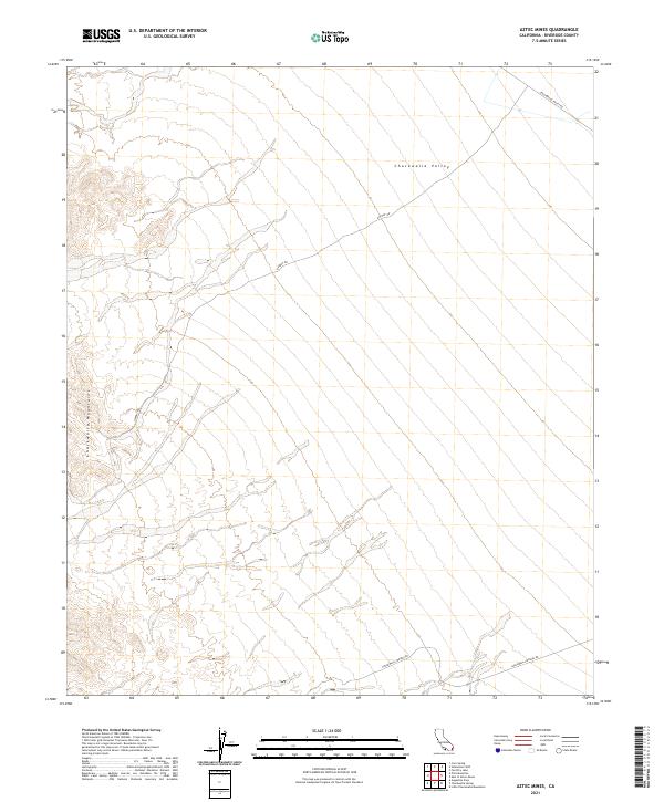
2021 Aztec Mines
Riverside County, CA
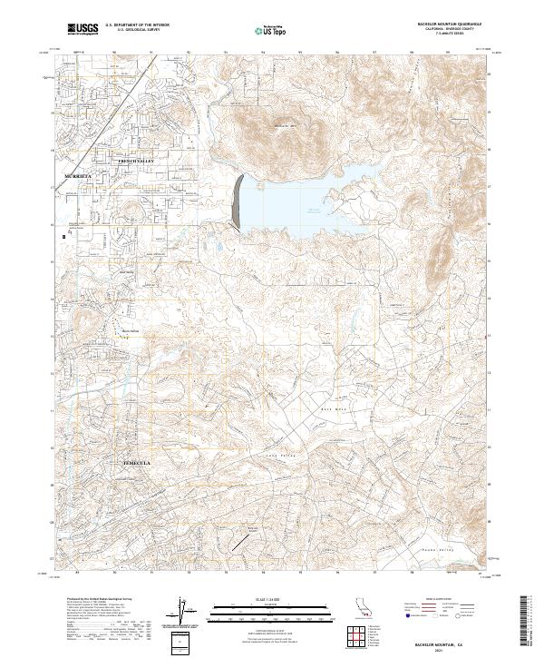
2021 Bachelor Mountain
Riverside County, CA
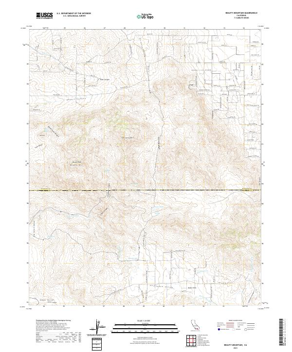
2021 Beauty Mountain
Riverside County, CA
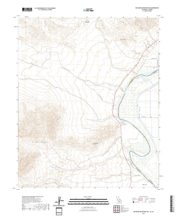
2021 Big Maria Mountains NE
Riverside County, CA
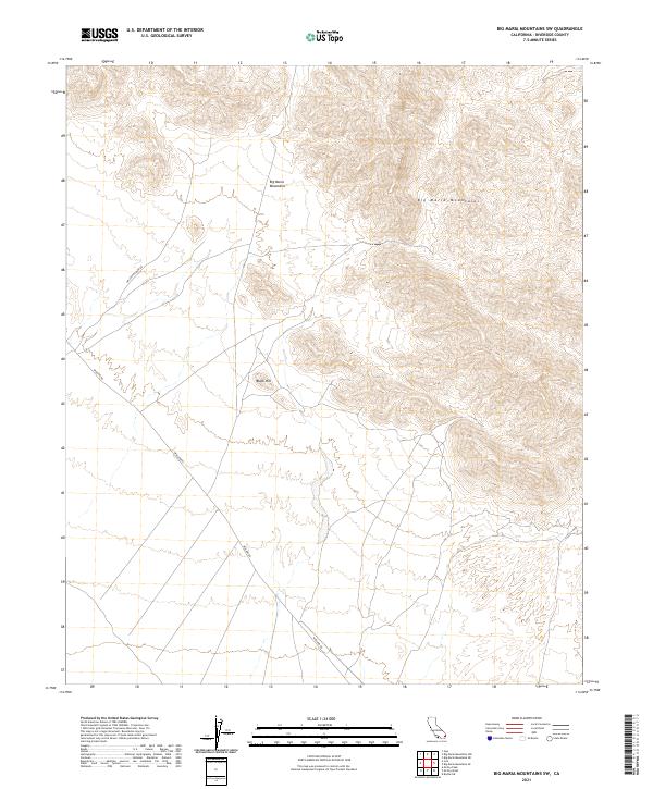
2021 Big Maria Mountains NW
Riverside County, CA
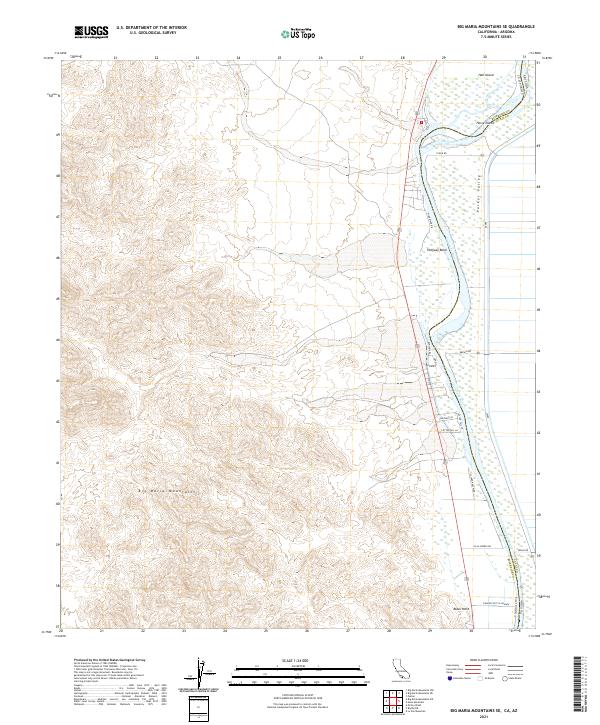
2021 Big Maria Mountains SE
Riverside County, CA
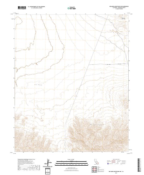
2021 Big Maria Mountains SW
Riverside County, CA
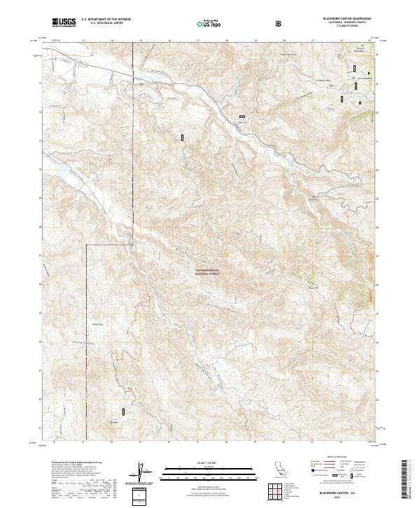
2021 Blackburn Canyon
Riverside County, CA
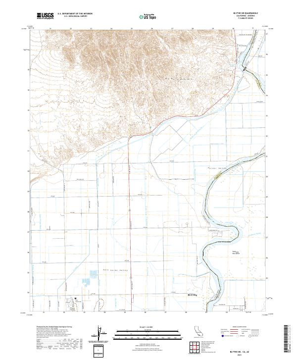
2021 Blythe NE
Riverside County, CA
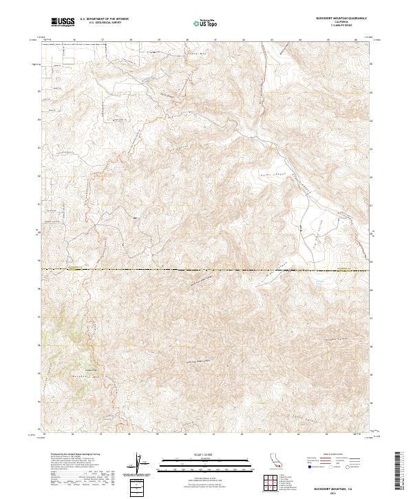
2021 Bucksnort Mountain
Riverside County, CA

2021 Butterfly Peak
Riverside County, CA
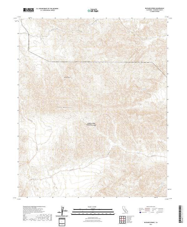
2021 Buzzard Spring
Riverside County, CA
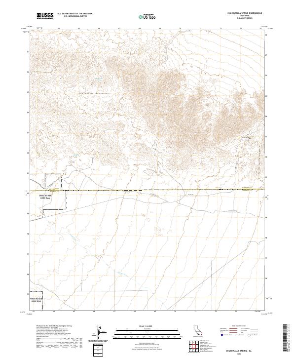
2021 Chuckwalla Spring
Riverside County, CA
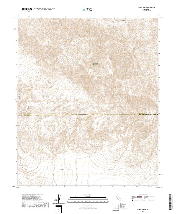
2021 Clark Lake NE
Riverside County, CA
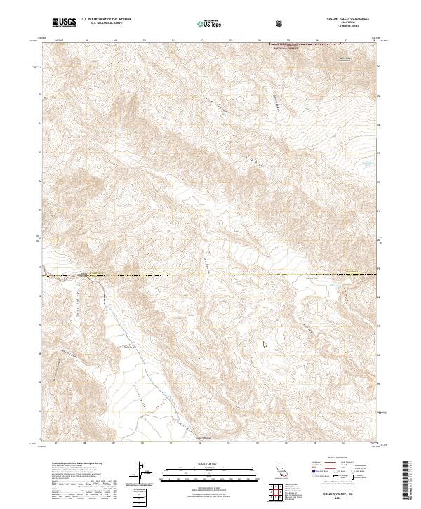
2021 Collins Valley
Riverside County, CA
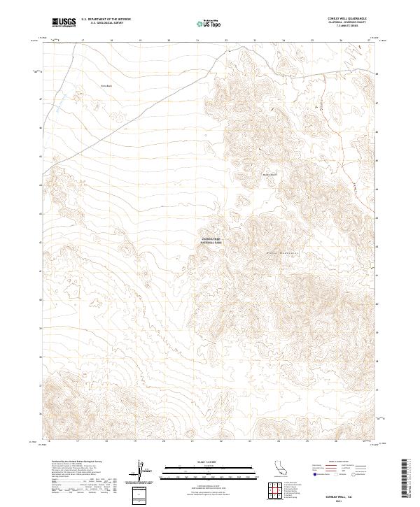
2021 Conejo Well
Riverside County, CA
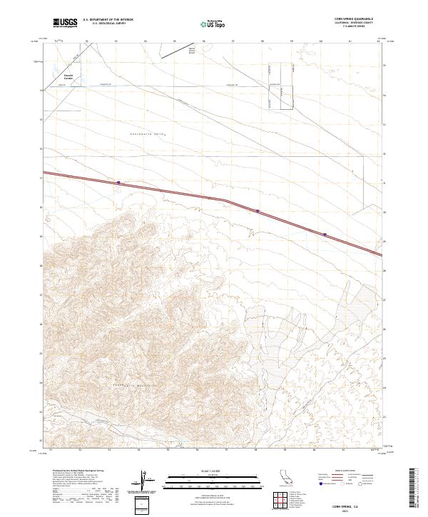
2021 Corn Spring
Riverside County, CA
2021 Cottonwood Basin
Riverside County, CA
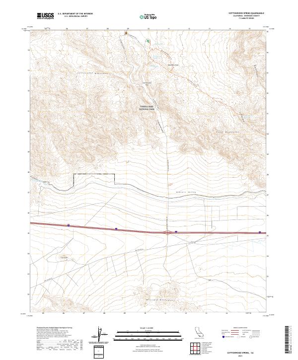
2021 Cottonwood Spring
Riverside County, CA
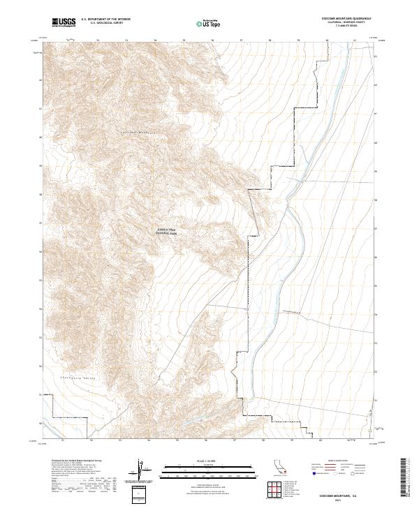
2021 Coxcomb Mountains
Riverside County, CA
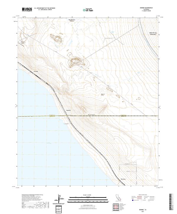
2021 Durmid
Riverside County, CA
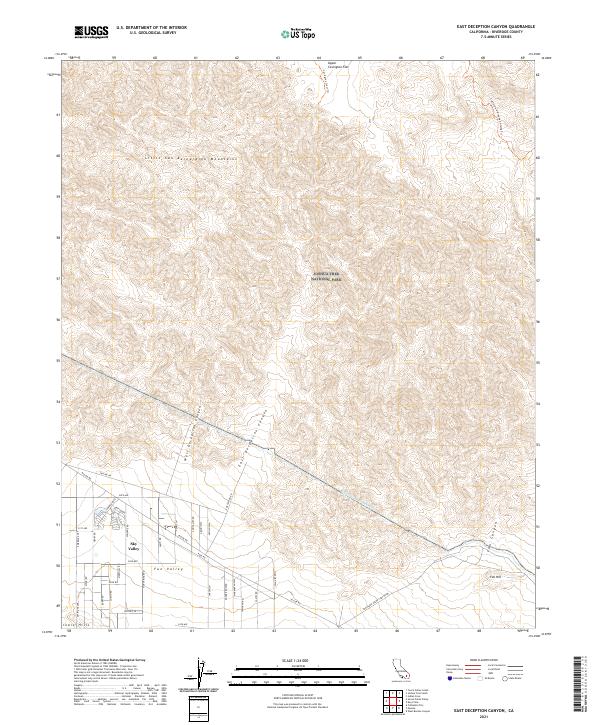
2021 East Deception Canyon
Riverside County, CA
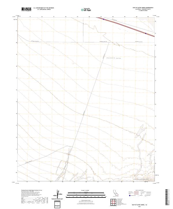
2021 East of Aztec Mines
Riverside County, CA
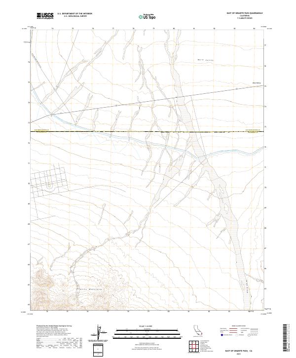
2021 East of Granite Pass
Riverside County, CA
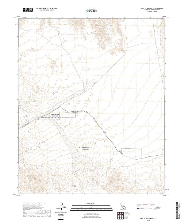
2021 East of Red Canyon
Riverside County, CA
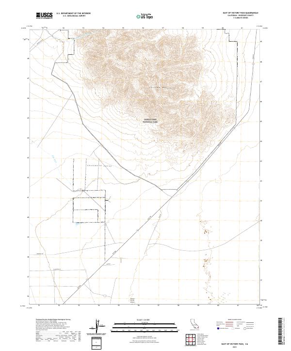
2021 East of Victory Pass
Riverside County, CA
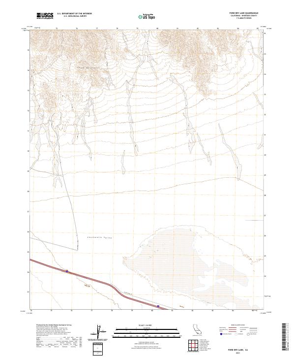
2021 Ford Dry Lake
Riverside County, CA
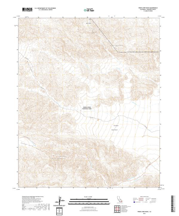
2021 Fried Liver Wash
Riverside County, CA
2021 Frink NE
Riverside County, CA
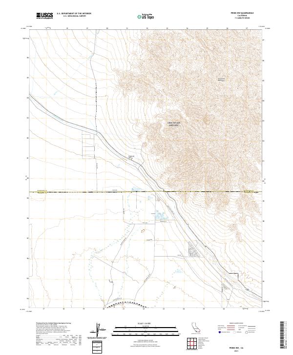
2021 Frink NW
Riverside County, CA
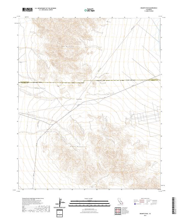
2021 Granite Pass
Riverside County, CA
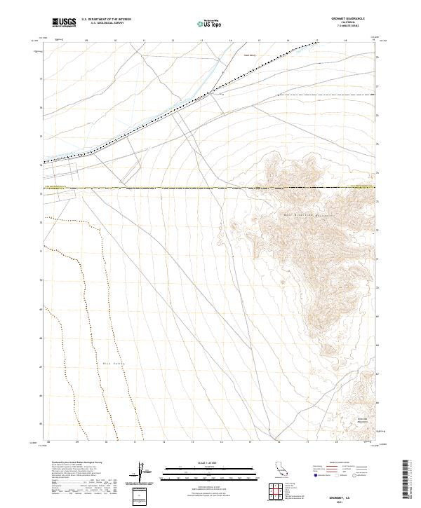
2021 Grommet
Riverside County, CA
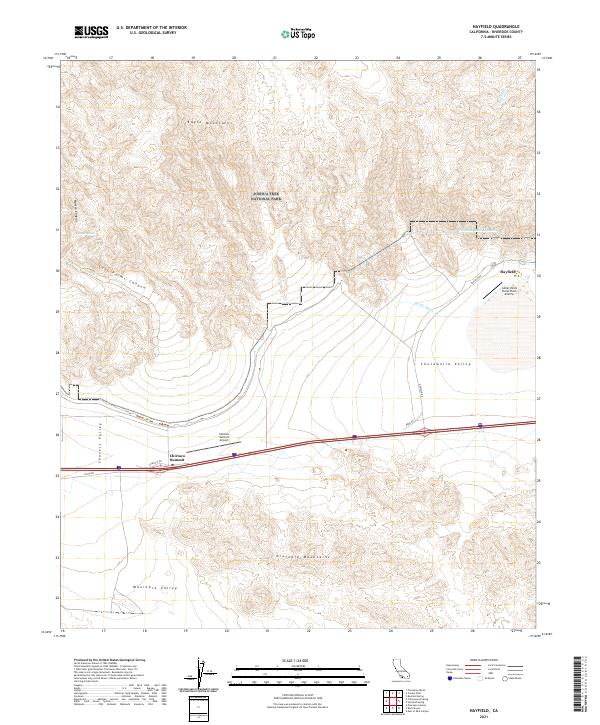
2021 Hayfield
Riverside County, CA
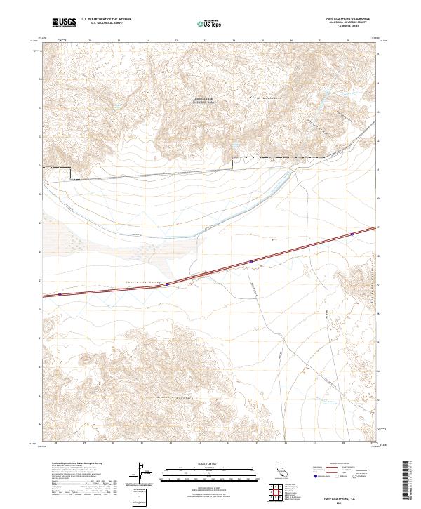
2021 Hayfield Spring
Riverside County, CA
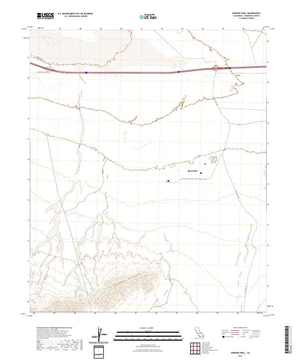
2021 Hopkins Well
Riverside County, CA
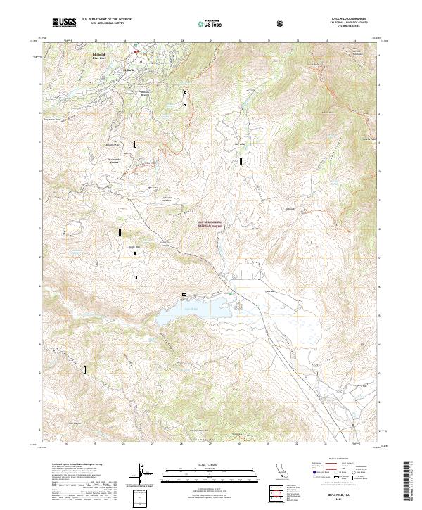
2021 Idyllwild
Riverside County, CA
2021 Inca
Riverside County, CA
2021 Iris Pass
Riverside County, CA
2021 Lake Fulmor
Riverside County, CA
2021 Little Chuckwalla Mountains
Riverside County, CA
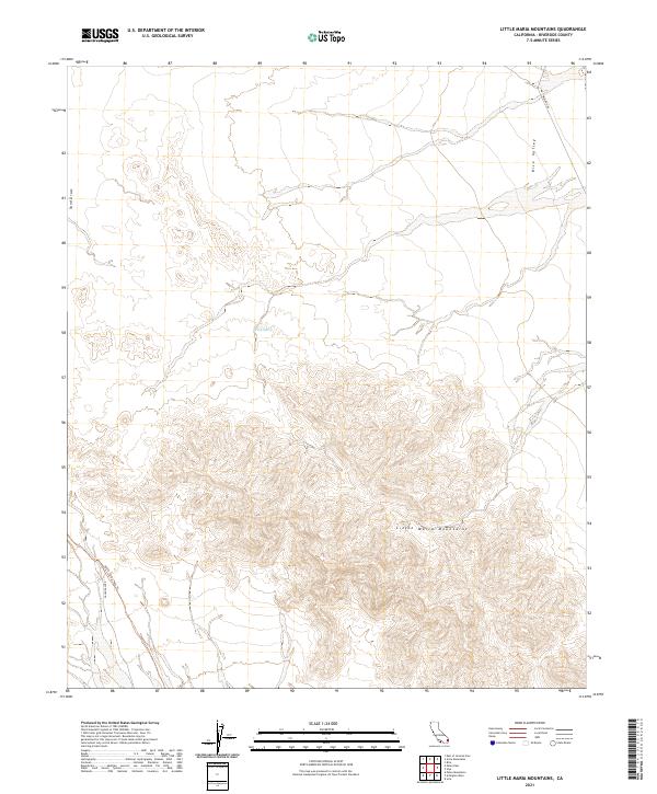
2021 Little Maria Mountains
Riverside County, CA
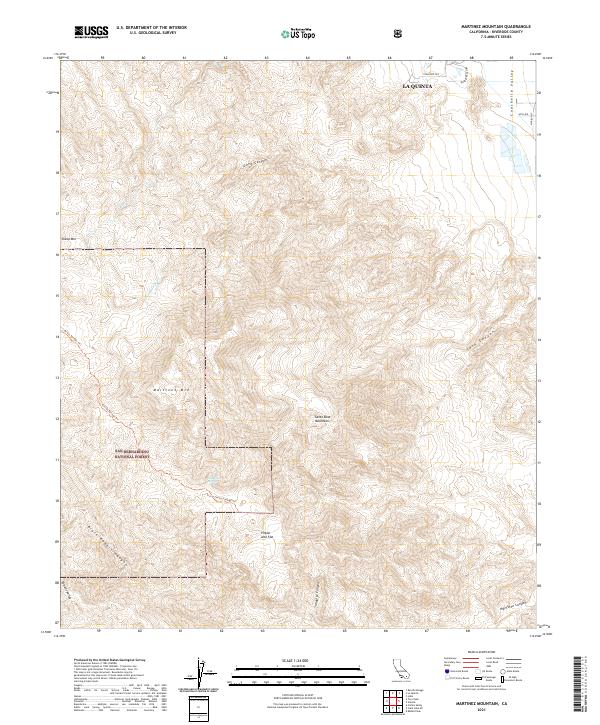
2021 Martinez Mountain
Riverside County, CA
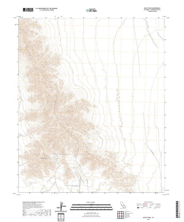
2021 McCoy Peak
Riverside County, CA
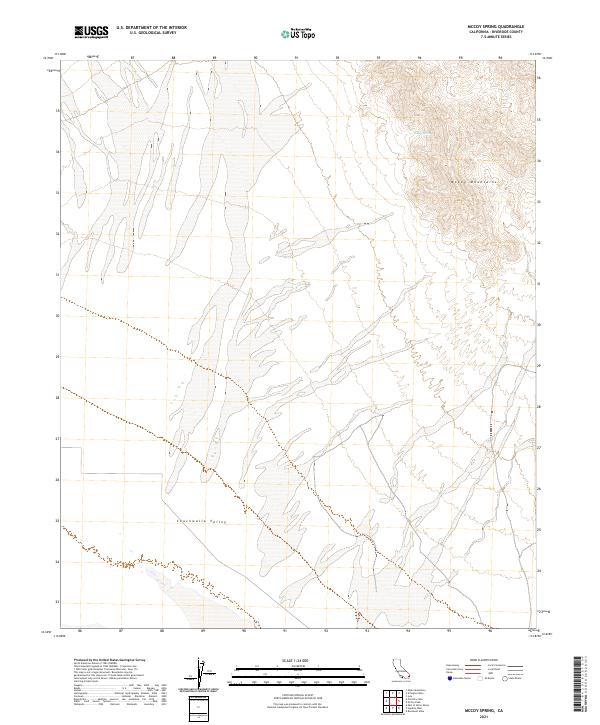
2021 McCoy Spring
Riverside County, CA
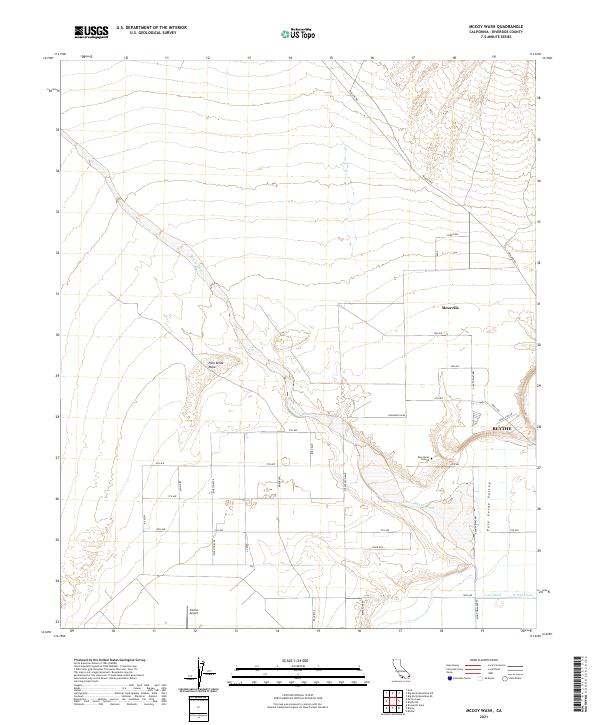
2021 McCoy Wash
Riverside County, CA
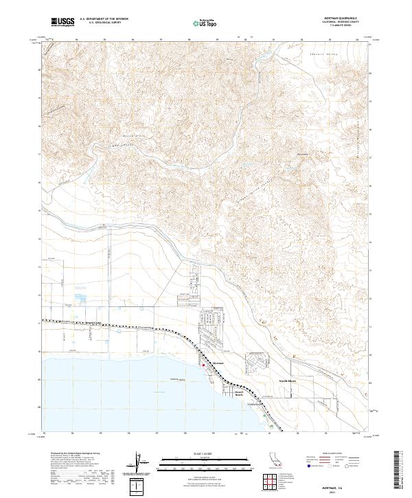
2021 Mortmar
Riverside County, CA
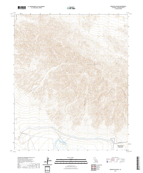
2021 Orocopia Canyon
Riverside County, CA
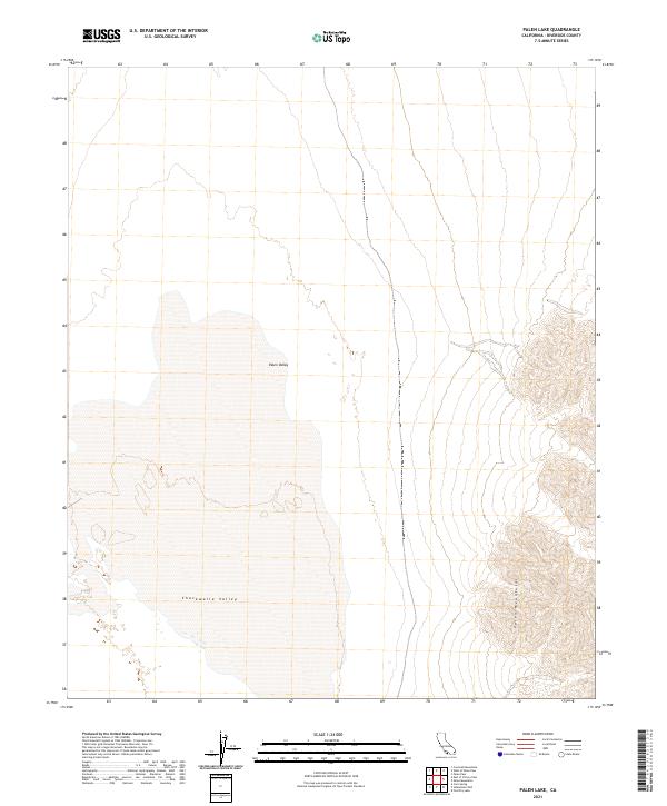
2021 Palen Lake
Riverside County, CA
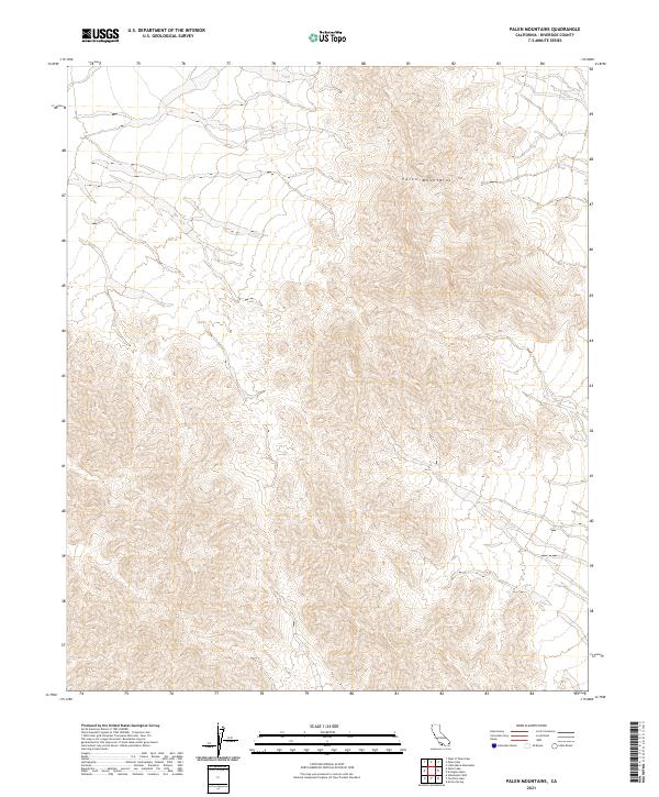
2021 Palen Mountains
Riverside County, CA

2021 Palen Pass
Riverside County, CA
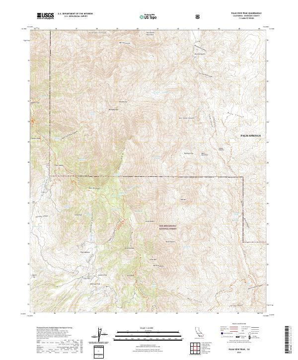
2021 Palm View Peak
Riverside County, CA
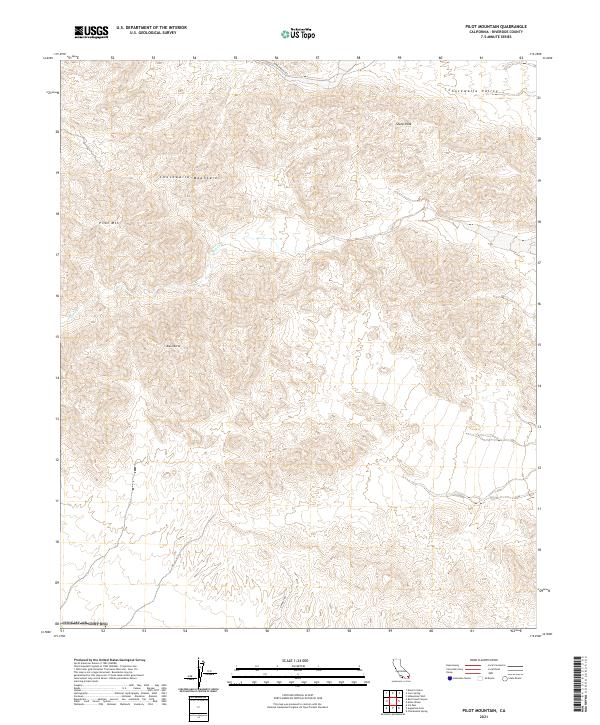
2021 Pilot Mountain
Riverside County, CA

2021 Pinto Mountain
Riverside County, CA
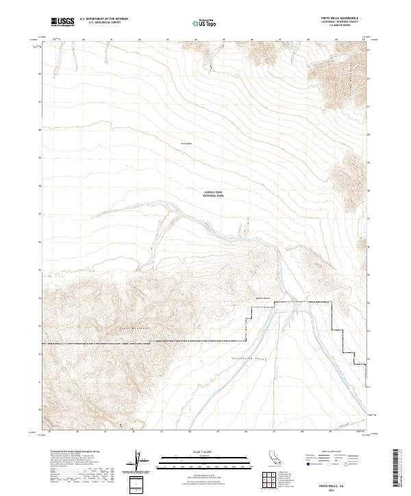
2021 Pinto Wells
Riverside County, CA
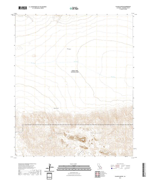
2021 Placer Canyon
Riverside County, CA
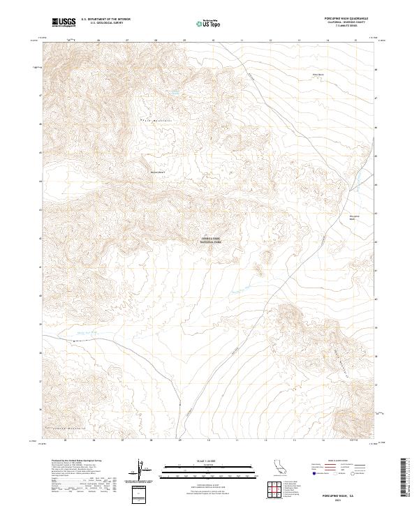
2021 Porcupine Wash
Riverside County, CA
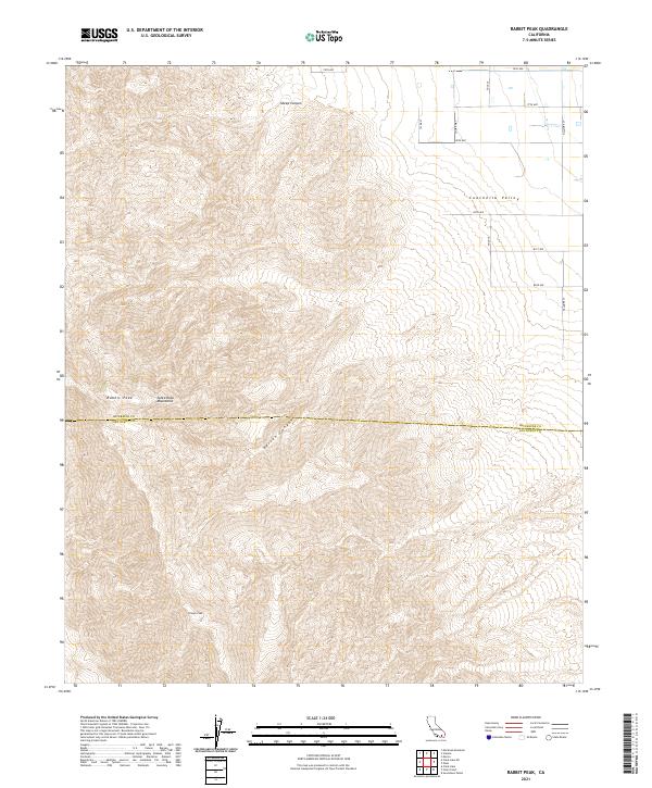
2021 Rabbit Peak
Riverside County, CA
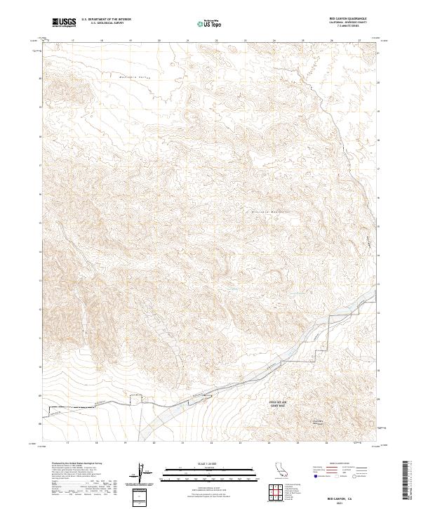
2021 Red Canyon
Riverside County, CA
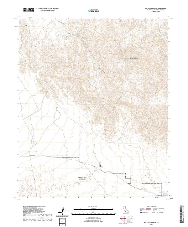
2021 Red Cloud Canyon
Riverside County, CA
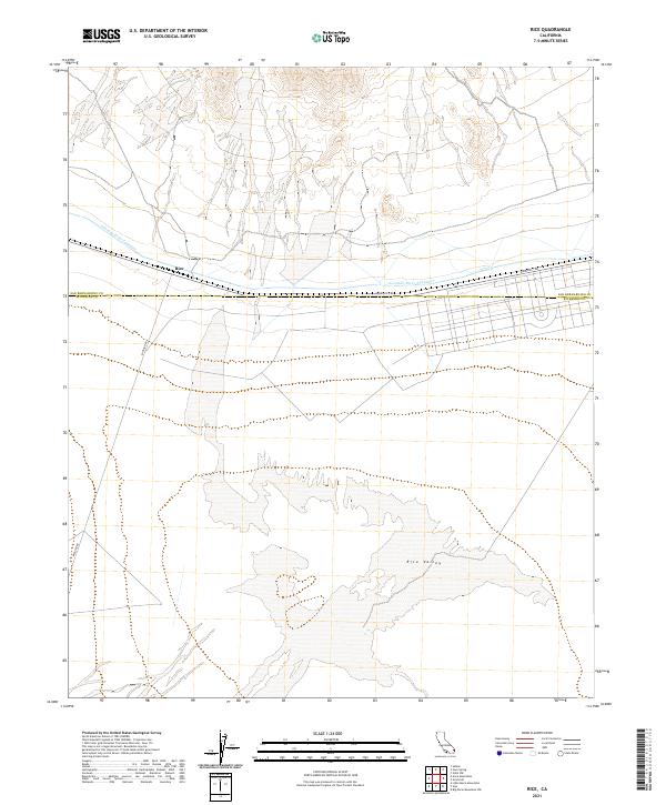
2021 Rice
Riverside County, CA
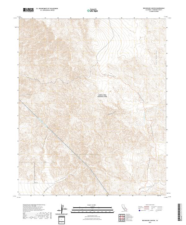
2021 Rockhouse Canyon
Riverside County, CA
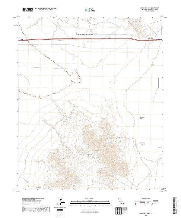
2021 Roosevelt Mine
Riverside County, CA
2021 Salton
Riverside County, CA
2021 San Bernardino Wash
Riverside County, CA
2021 San Jacinto Peak
Riverside County, CA
2021 Seven Palms Valley
Riverside County, CA
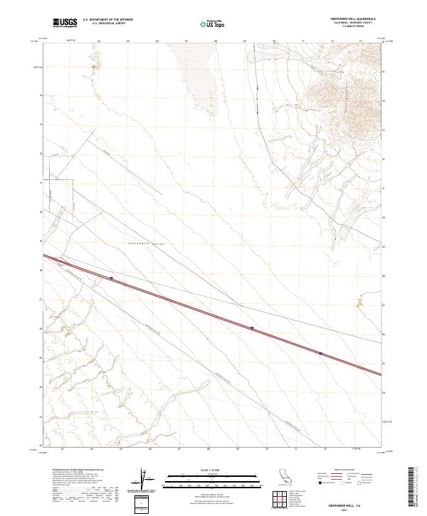
2021 Sidewinder Well
Riverside County, CA
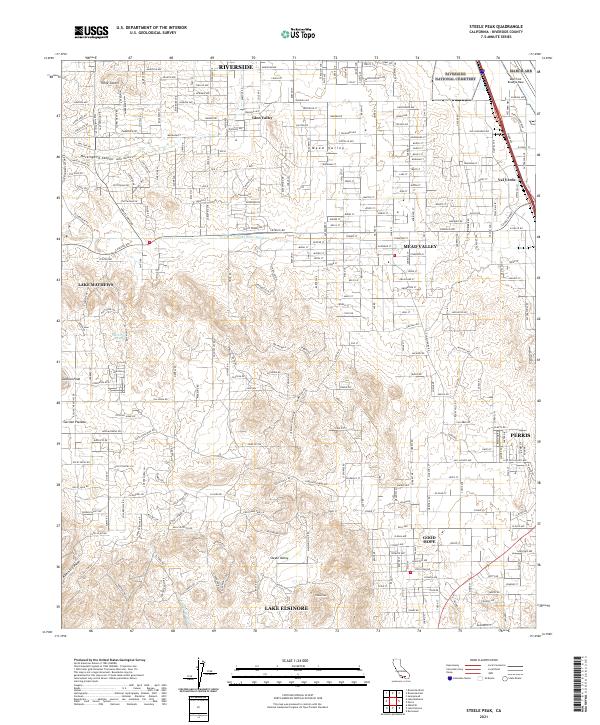
2021 Steele Peak
Riverside County, CA
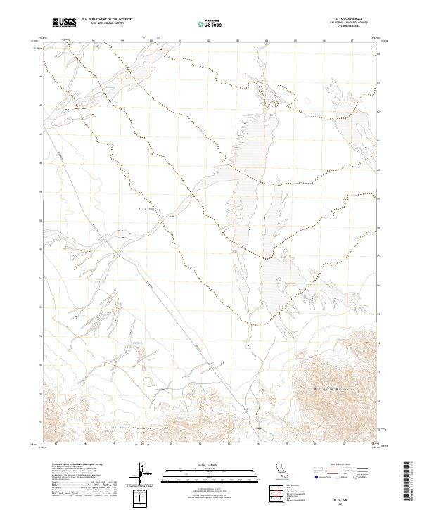
2021 Styx
Riverside County, CA
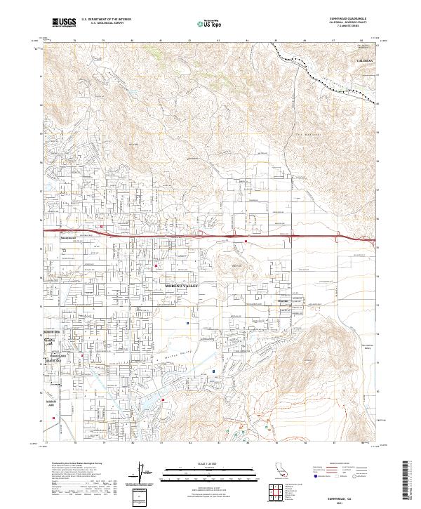
2021 Sunnymead
Riverside County, CA
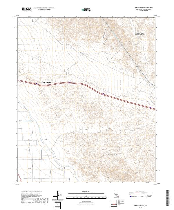
2021 Thermal Canyon
Riverside County, CA
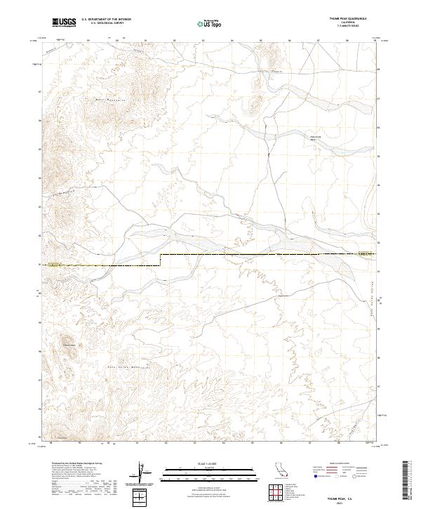
2021 Thumb Peak
Riverside County, CA
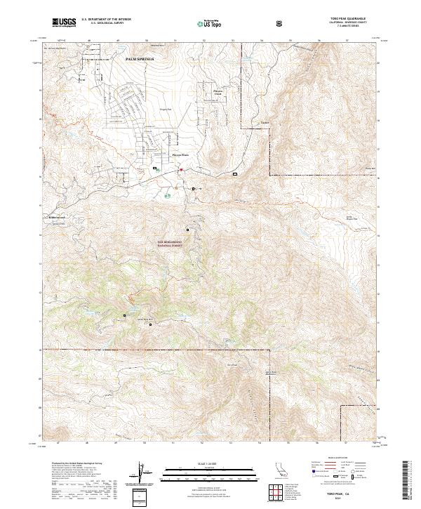
2021 Toro Peak
Riverside County, CA
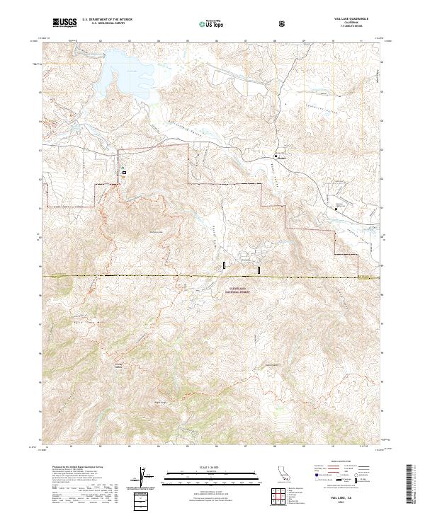
2021 Vail Lake
Riverside County, CA
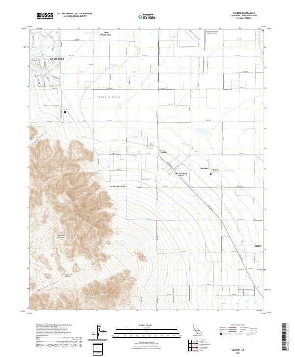
2021 Valerie
Riverside County, CA
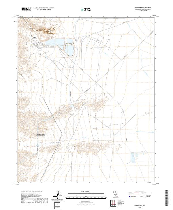
2021 Victory Pass
Riverside County, CA
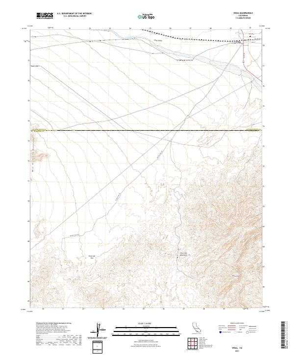
2021 Vidal
Riverside County, CA
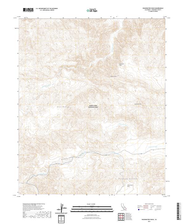
2021 Washington Wash
Riverside County, CA
2021 West Berdoo Canyon
Riverside County, CA
2021 West of Palen Pass
Riverside County, CA
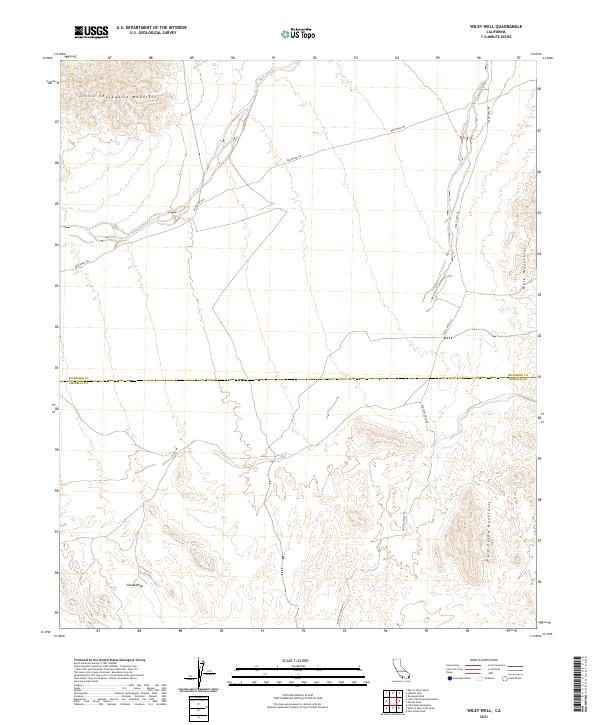
2021 Wiley Well
Riverside County, CA
2022 Corona North
Riverside County, CA
2022 Corona South
Riverside County, CA
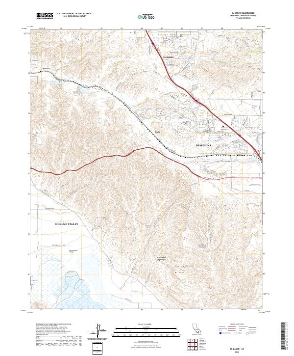
2022 El Casco
Riverside County, CA
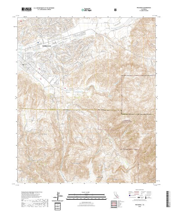
2022 Pechanga
Riverside County, CA
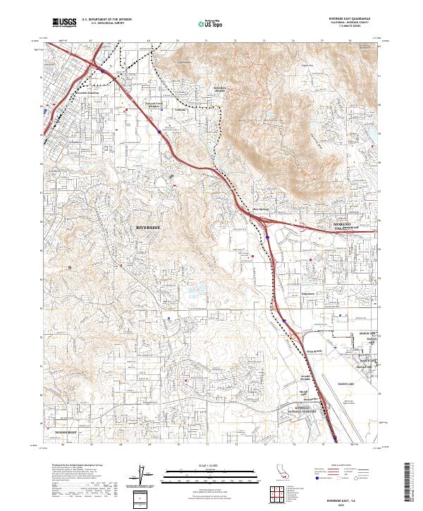
2022 Riverside East
Riverside County, CA
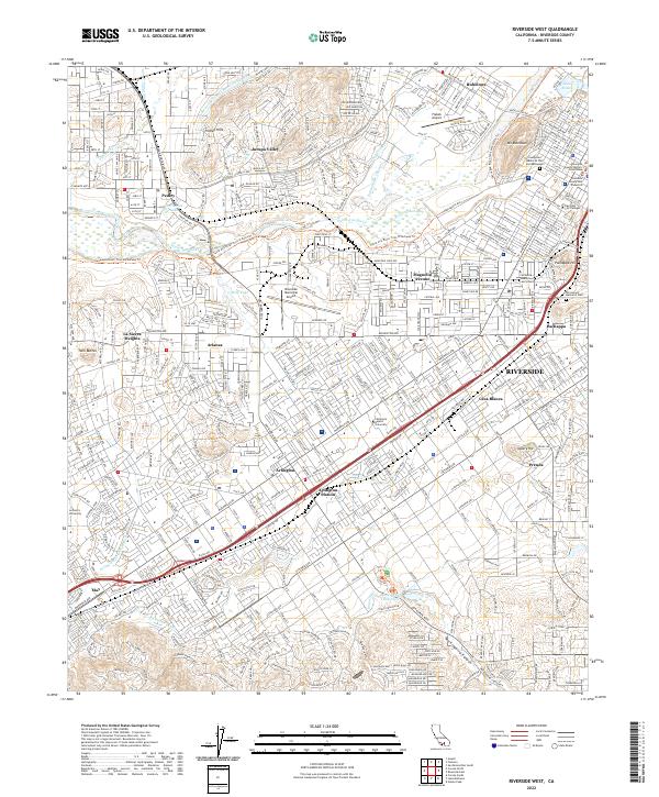
2022 Riverside West
Riverside County, CA

2022 Sitton Peak
Riverside County, CA
2023 Cahuilla Mountain
Riverside County, CA
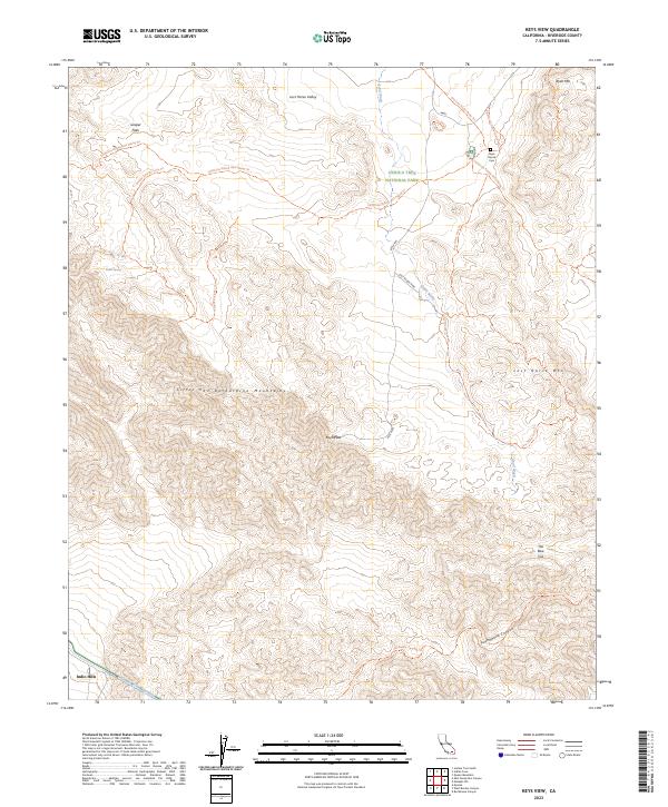
2023 Keys View
Riverside County, CA
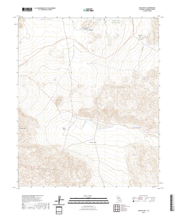
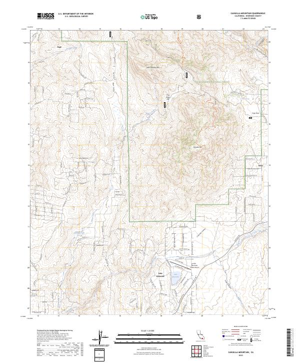
2023 Malapai Hill
Riverside County, CA
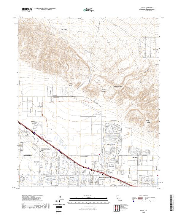
2023 Myoma
Riverside County, CA
2023 Parker SW
Riverside County, CA
2023 White Water
Riverside County, CA