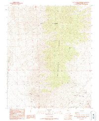
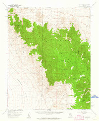
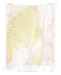
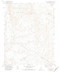
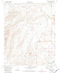
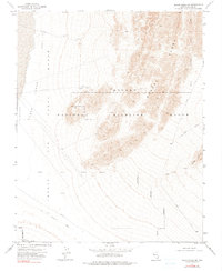
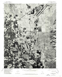
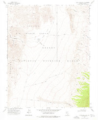
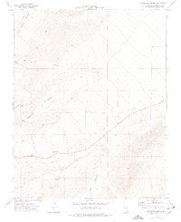
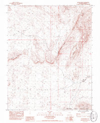
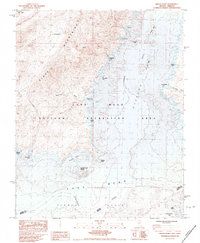
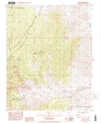
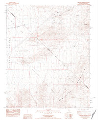
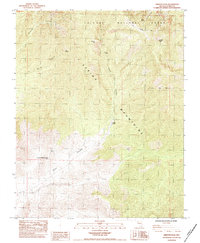
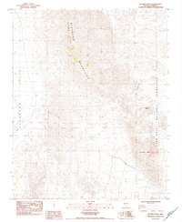
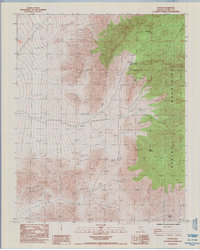
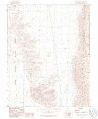
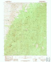
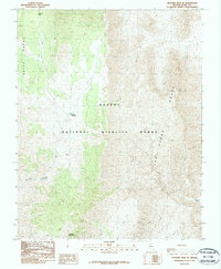
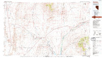
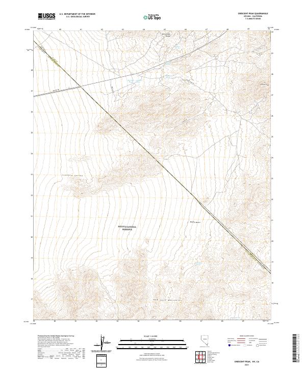
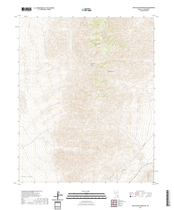
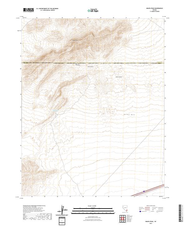
1989 Map of McCullough Mountain
USGS Topo · Published 1990About this map
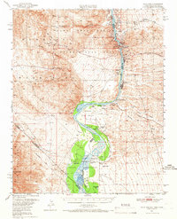
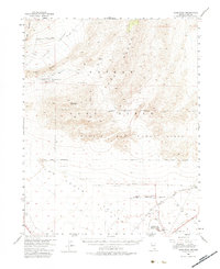
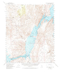
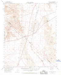
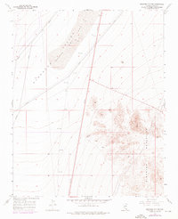
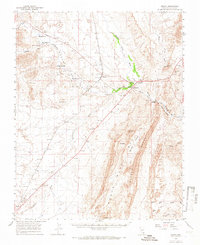
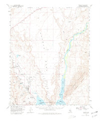
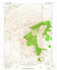
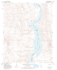
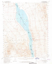
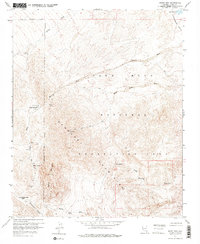
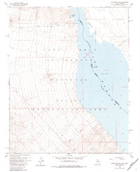
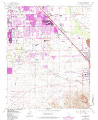
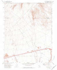
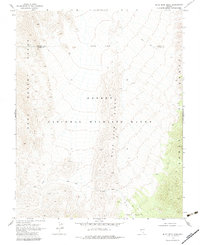
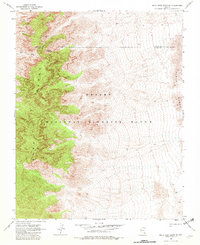
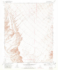
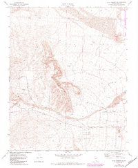
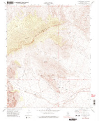
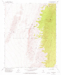
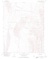
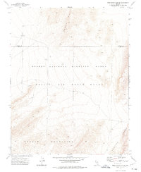
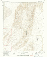
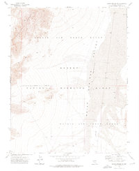
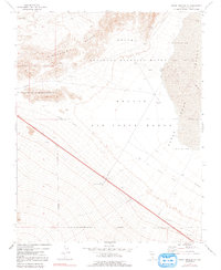
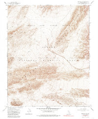
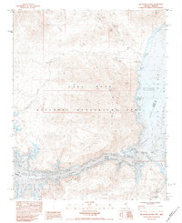
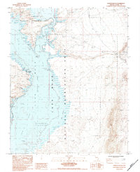
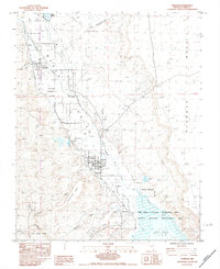
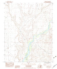
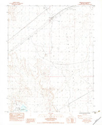
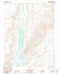
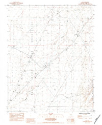
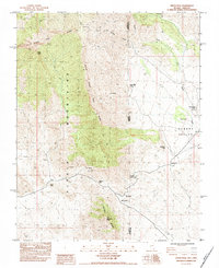
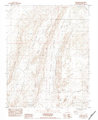
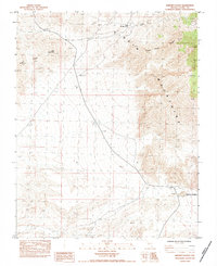
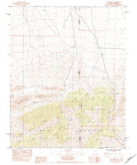
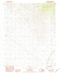
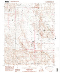
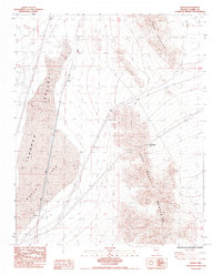
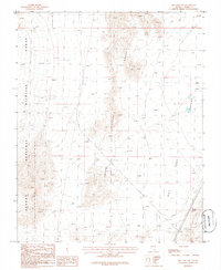
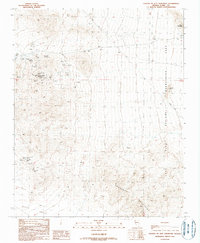
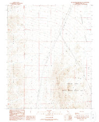
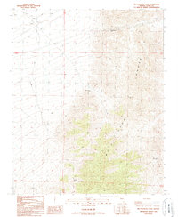
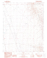
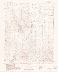
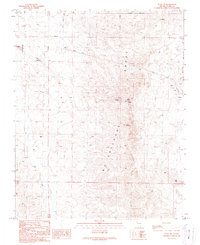
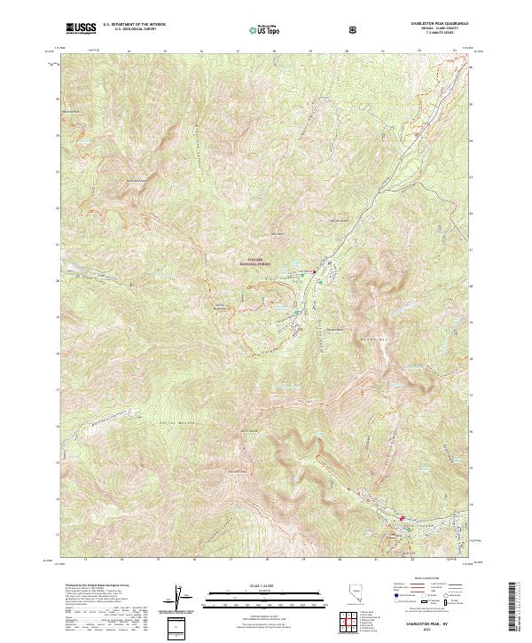
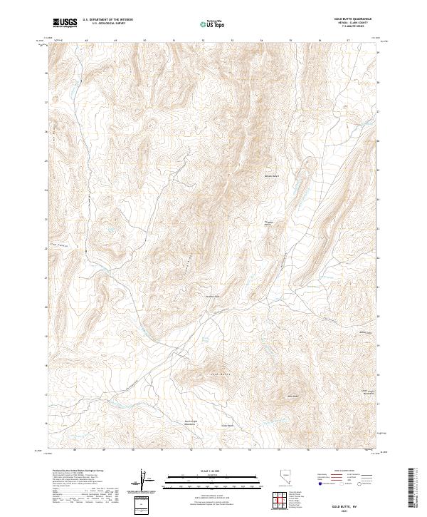
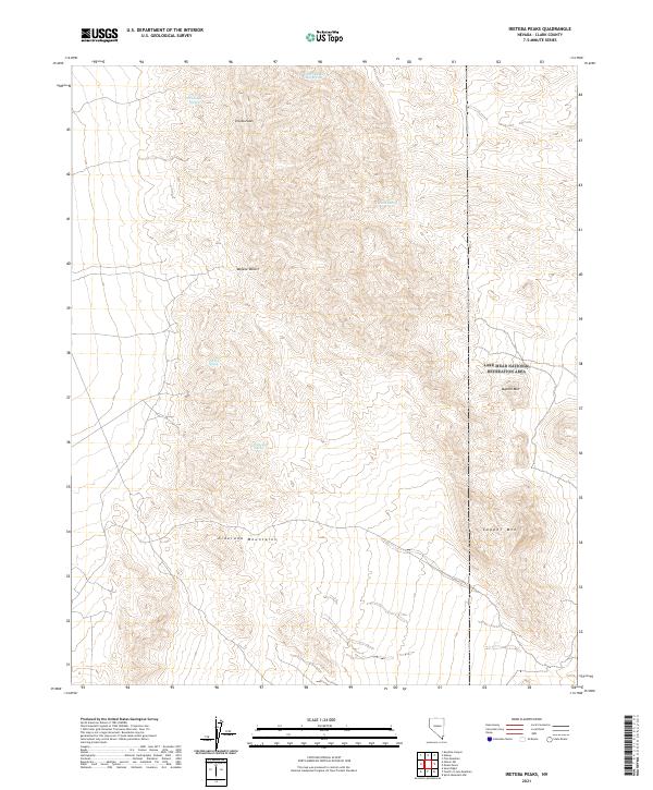
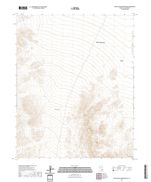
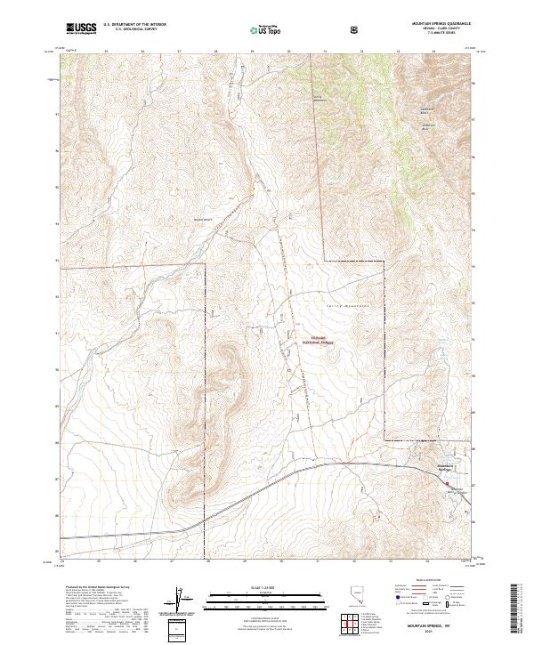
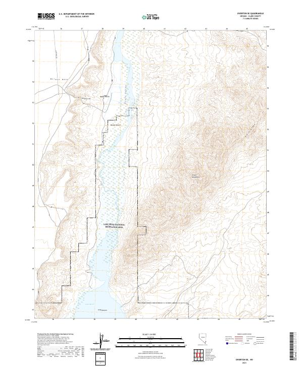
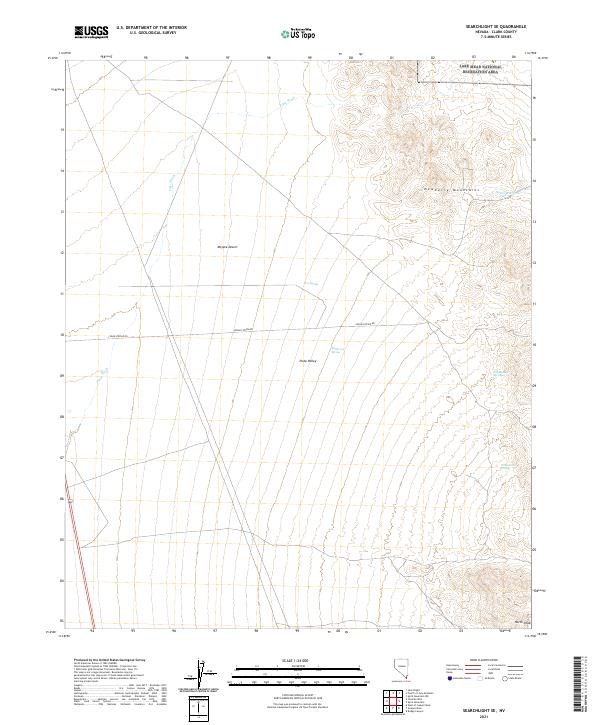
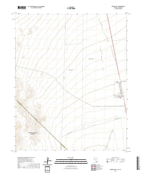
High peaks and mining claims define this landscape in the southern Nevada desert during the late 1980s. The Mc Cullough Range dominates the central terrain, rising toward McCullough Mountain and sloping down into the Lucy Gray Mountains to the west and the New York Mountains in the southeast. This was a territory of active prospecting, evidenced by a dense network of Mine Shafts, Adits, and specific operations like the Silver Bell Mine. Water sources are sparse but critical, marked at Railroad Spring and Pine Spring, while the presence of a Corral and various 4 WD tracks suggests a landscape used for both ranching and mineral exploration. The isolation of the high desert is punctuated by modern utility corridors, including a Radio Tower and several Trans Lines cutting through the valleys.
Find a feature on this map
22 named features on this map. Tap any name to fly to it.
Don’t see what you’re looking for? This feature index may not catch every label — zoom into the map to look around manually.
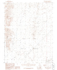
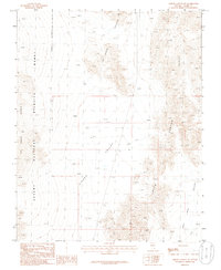
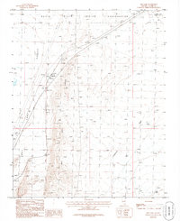
Map Details
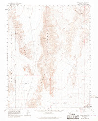
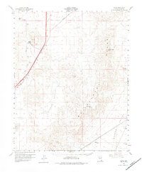
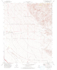
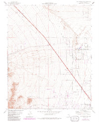
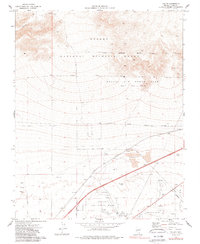
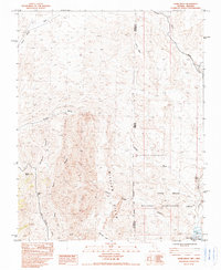
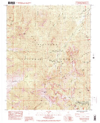
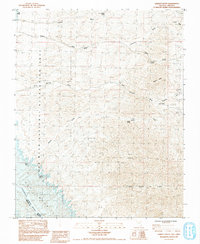
Editions of this 1989 McCullough Mountain Map
This is the sole edition of this map. No revisions or reprints were ever made.
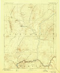
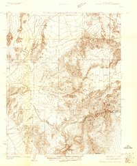
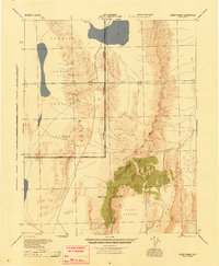
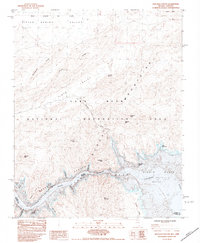
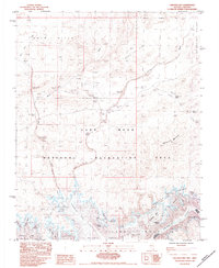
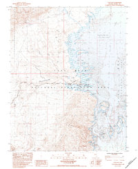
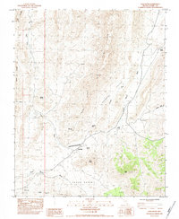
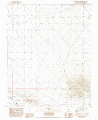
Historical Maps of Clark County Through Time
278 maps found
1886 Saint Thomas
Clark County, NV

1893 Saint Thomas
Clark County, NV

1926 Bonelli
Clark County, NV
1926 Boulder Canyon
Clark County, NV

1926 Mohave City
Clark County, NV

1942 Camp Mohave
Clark County, NV

1942 Indian Spring
Clark County, NV
1945 Sheep Range
Clark County, NV
1950 Davis Dam
Clark County, NV
1952 Corn Creek Springs
Clark County, NV
1952 Davis Dam
Clark County, NV
1952 Dry Lake
Clark County, NV
1952 Gass Peak
Clark County, NV
1952 Mercury
Clark County, NV
1953 Gold Butte
Clark County, NV
1953 Hoover Dam
Clark County, NV
1953 Iceberg Canyon
Clark County, NV
1953 Muddy Peak
Clark County, NV
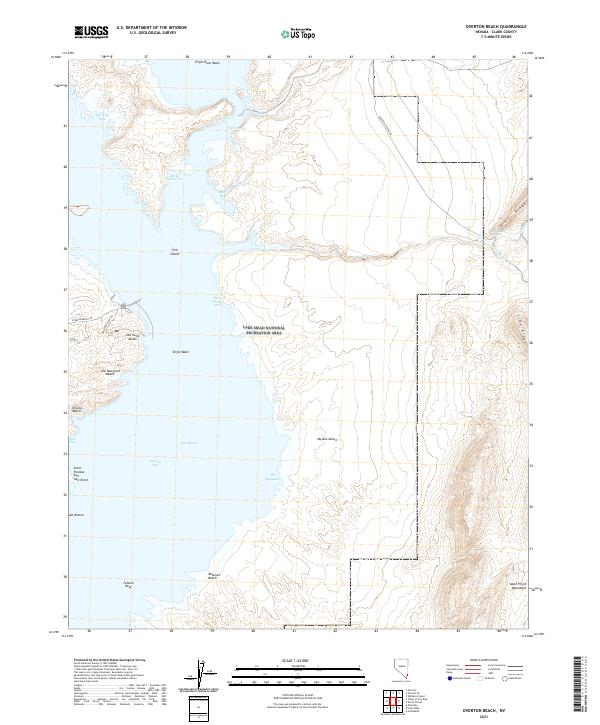
1953 Overton Beach
Clark County, NV
1953 Virgin Basin
Clark County, NV
1955 Roach Lake
Clark County, NV
1956 Shenandoah Peak
Clark County, NV
1957 Charleston Peak
Clark County, NV
1957 Mountain Springs
Clark County, NV
1957 Mt. Stirling
Clark County, NV
1958 Arrow Canyon
Clark County, NV
1958 Boulder City NW
Clark County, NV
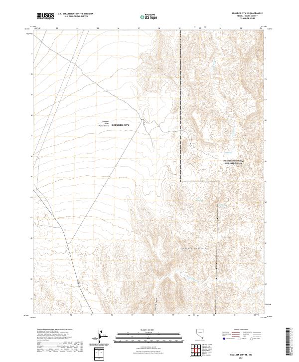
1958 Boulder City SE
Clark County, NV
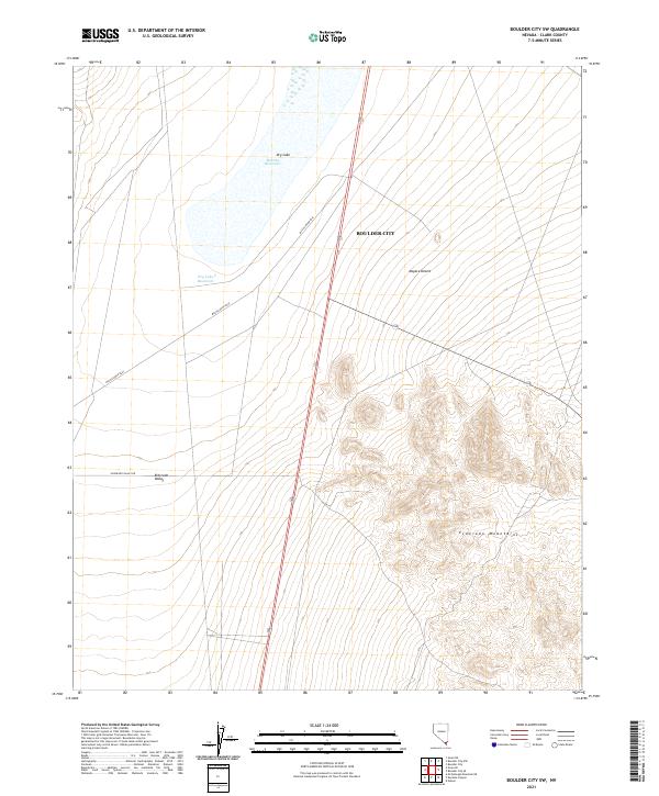
1958 Boulder City SW
Clark County, NV
1958 Moapa
Clark County, NV
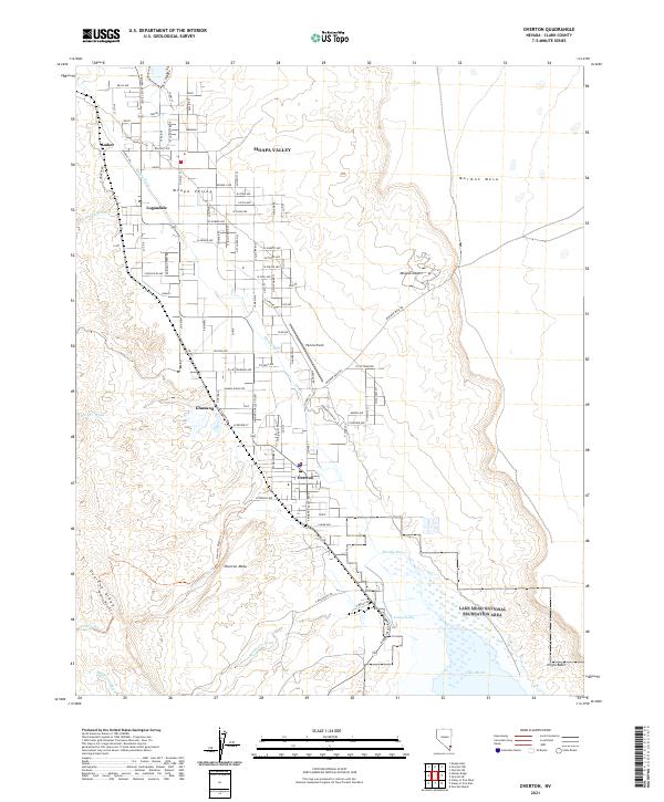
1958 Overton
Clark County, NV
1958 Virgin Peak
Clark County, NV
1959 Mt. Davis
Clark County, NV
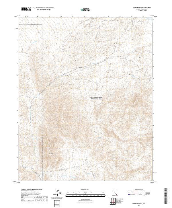
1959 Spirit Mtn
Clark County, NV
1959 Spirit Mtn
Clark County, NV
1959 Spirit Mtn NW
Clark County, NV
1960 Hayford Peak
Clark County, NV

1960 McCullough Mtn
Clark County, NV
1960 Sloan
Clark County, NV
1967 Las Vegas NE
Clark County, NV
1967 Las Vegas NW
Clark County, NV
1967 Las Vegas SE
Clark County, NV
1967 Las Vegas SW
Clark County, NV
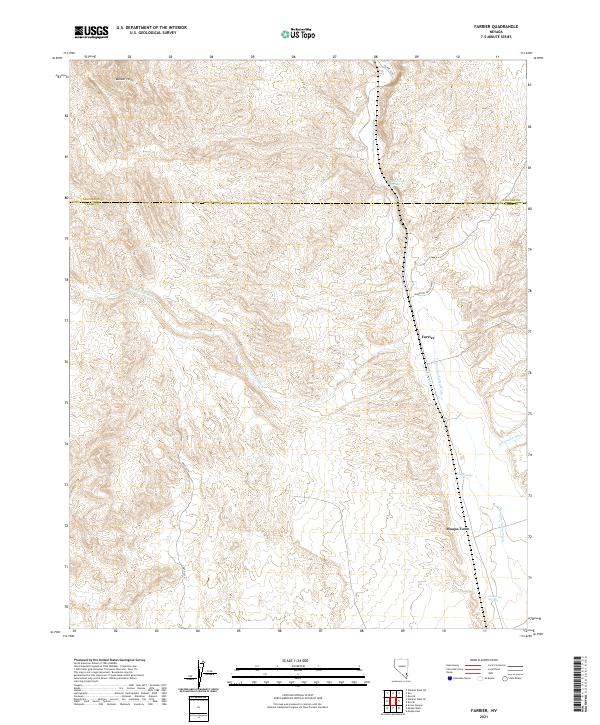
1969 Farrier
Clark County, NV
1969 Moapa Peak
Clark County, NV
1969 Moapa Peak SE
Clark County, NV
1969 Mule Deer Ridge
Clark County, NV
1969 Mule Deer Ridge SE
Clark County, NV
1969 Rox SE
Clark County, NV
1969 Wildcat Wash SE
Clark County, NV
1969 Wildcat Wash SW
Clark County, NV
1970 Boulder Beach
Clark County, NV
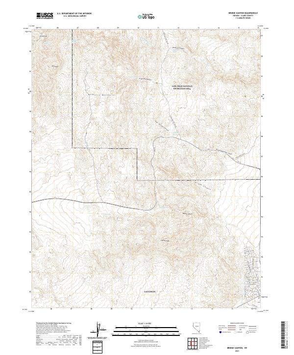
1970 Bridge Canyon
Clark County, NV
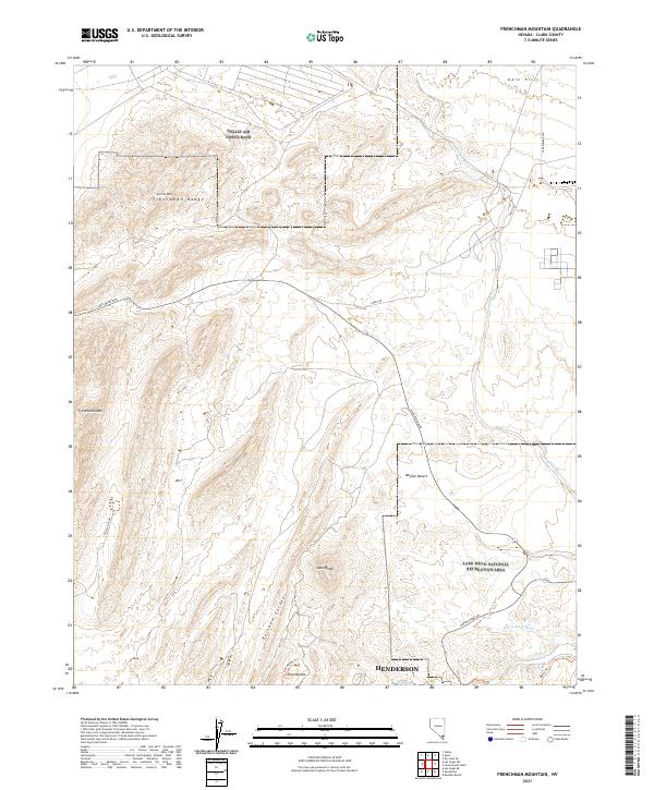
1970 Frenchman Mtn.
Clark County, NV
1970 Government Wash
Clark County, NV
1970 Virgin Basin
Clark County, NV
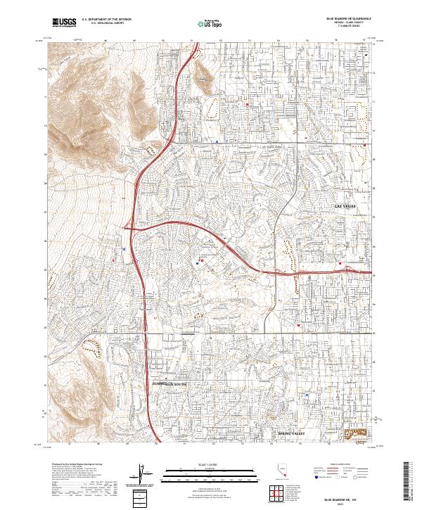
1972 Blue Diamond NE
Clark County, NV
1972 Blue Diamond SE
Clark County, NV
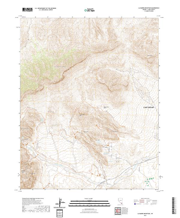
1972 La Madre Mtn
Clark County, NV
1973 Black Hills
Clark County, NV
1973 Black Hills NW
Clark County, NV
1973 Black Hills SW
Clark County, NV
1973 Boulder Beach
Clark County, NV
1973 Dead Horse Ridge
Clark County, NV
1973 Dog Bone Lake South
Clark County, NV
1973 Frenchman Lake SE
Clark County, NV
1973 Heavens Well
Clark County, NV
1973 Indian Springs NW
Clark County, NV
1973 Indian Springs SE
Clark County, NV
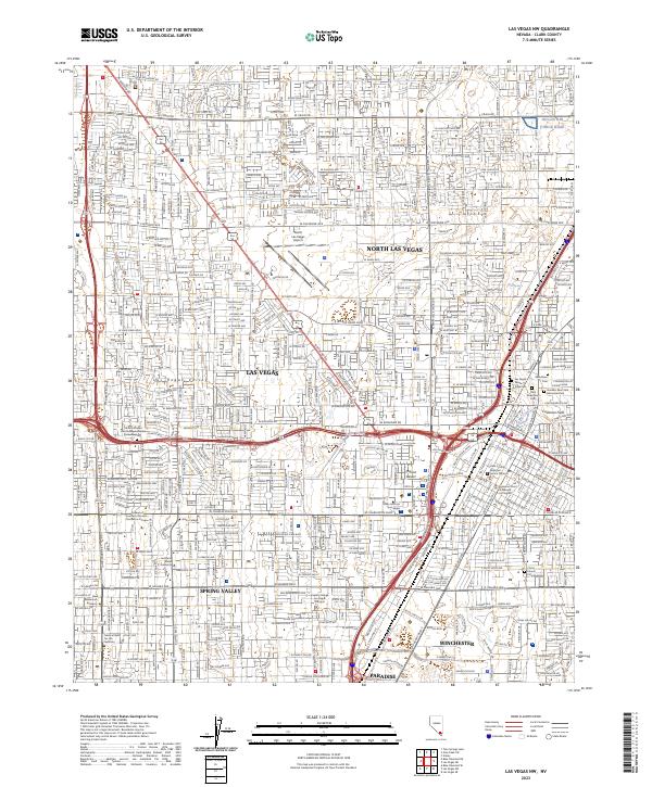
1973 Las Vegas NE
Clark County, NV
1973 Las Vegas NW
Clark County, NV
1973 Las Vegas SE
Clark County, NV
1973 Las Vegas SW
Clark County, NV
1973 Mercury NE
Clark County, NV
1973 Mercury SE
Clark County, NV
1973 Quartz Peak SW
Clark County, NV
1973 Tim Spring
Clark County, NV
1973 White Sage Flat
Clark County, NV
1974 Corn Creek Springs
Clark County, NV
1974 Corn Creek Springs NW
Clark County, NV
1974 Gass Peak SW
Clark County, NV
1974 Grapevine Spring
Clark County, NV
1974 Tule Springs Park
Clark County, NV
1974 Valley
Clark County, NV
1983 Azure Ridge
Clark County, NV
1983 Bitter Spring
Clark County, NV
1983 Boulder Canyon
Clark County, NV
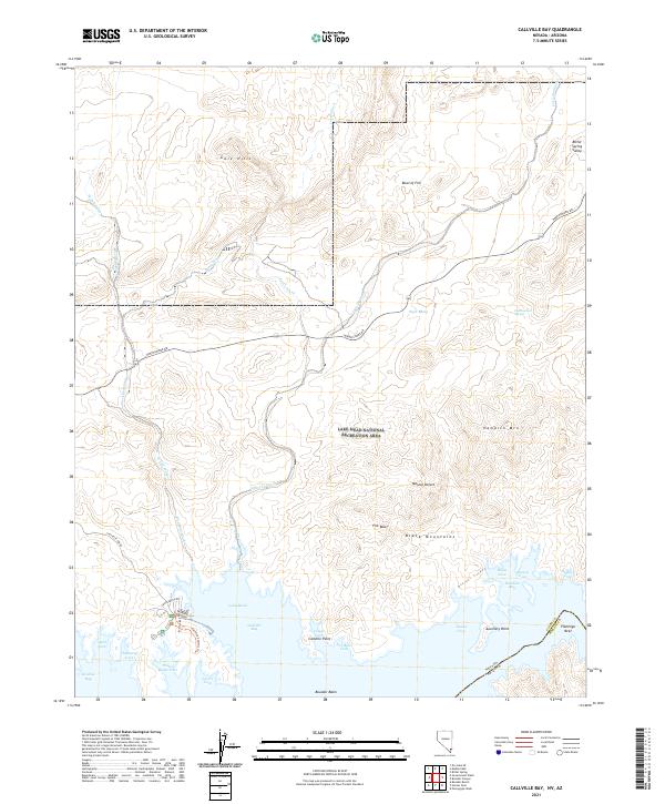
1983 Callville Bay
Clark County, NV

1983 Devils Throat
Clark County, NV
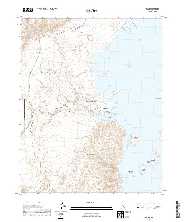
1983 Echo Bay
Clark County, NV
1983 Hiller Mountains
Clark County, NV
1983 Hoover Dam
Clark County, NV
1983 Iceberg Canyon
Clark County, NV
1983 Jumbo Peak
Clark County, NV

1983 Lime Wash
Clark County, NV
1983 Middle Point
Clark County, NV
1983 Moapa East
Clark County, NV
1983 Moapa West
Clark County, NV
1983 Muddy Peak
Clark County, NV
1983 Overton Beach
Clark County, NV
1983 Overton
Clark County, NV
1983 Overton NE
Clark County, NV
1983 Overton NW
Clark County, NV
1983 Overton SE
Clark County, NV
1983 Piute Point
Clark County, NV
1983 Riverside
Clark County, NV
1983 The Temple
Clark County, NV
1983 Ute
Clark County, NV
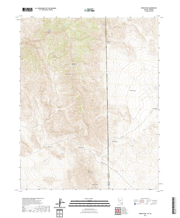
1983 Virgin Peak
Clark County, NV
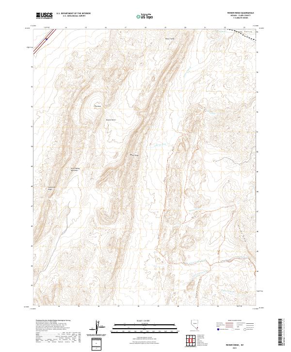
1983 Weiser Ridge
Clark County, NV
1983 Whitney Pocket
Clark County, NV
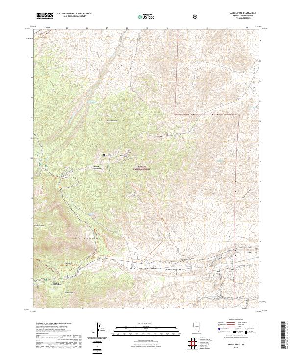
1984 Angel Peak
Clark County, NV
1984 Charleston Peak
Clark County, NV
1984 Charleston Peak NE
Clark County, NV
1984 Cold Creek
Clark County, NV
1984 Crescent Peak
Clark County, NV
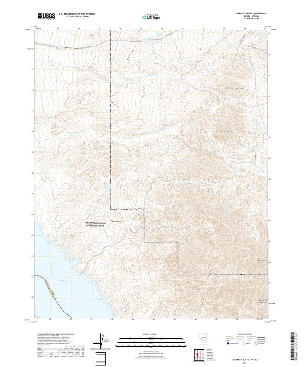
1984 Garrett Butte
Clark County, NV
1984 Gold Butte
Clark County, NV
1984 Green Monster Mine
Clark County, NV
1984 Griffith Peak
Clark County, NV
1984 Hen Spring
Clark County, NV
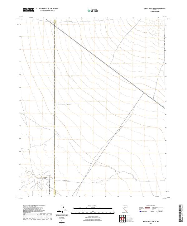
1984 Hidden Hills Ranch
Clark County, NV
1984 Hopps Well
Clark County, NV
1984 Ireteba Peaks
Clark County, NV
1984 Juniper Mine
Clark County, NV
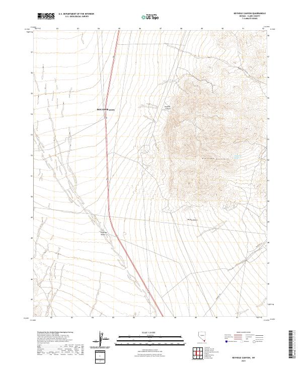
1984 Keyhole Canyon
Clark County, NV
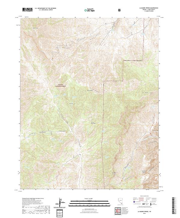
1984 La Madre Spring
Clark County, NV
1984 Lost Cabin Spring
Clark County, NV
1984 Mountain Springs
Clark County, NV
1984 Nelson SW
Clark County, NV
1984 Pahrump NE
Clark County, NV
1984 Potosi
Clark County, NV
1984 St. Thomas Gap
Clark County, NV
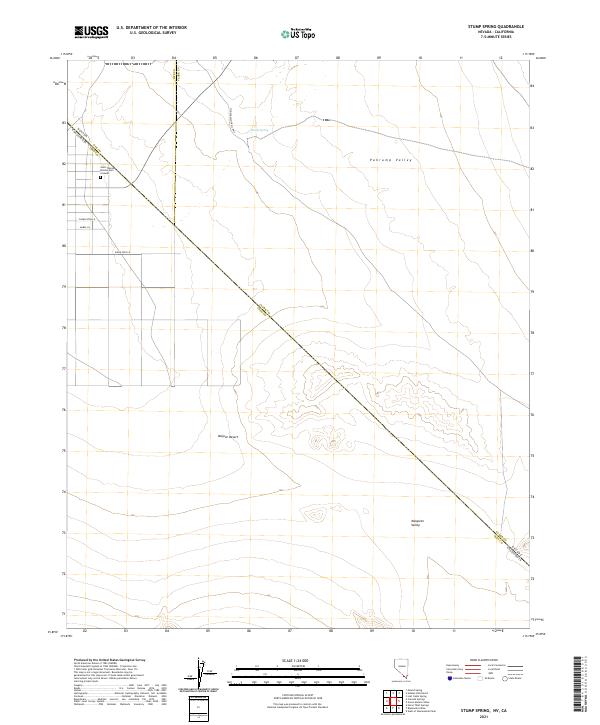
1984 Stump Spring
Clark County, NV
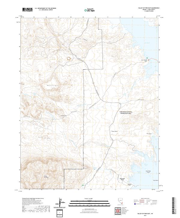
1984 Valley of Fire East
Clark County, NV
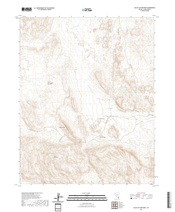
1984 Valley of Fire West
Clark County, NV
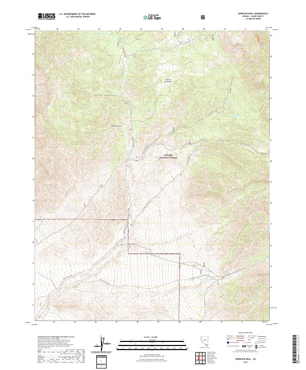
1984 Wheeler Well
Clark County, NV
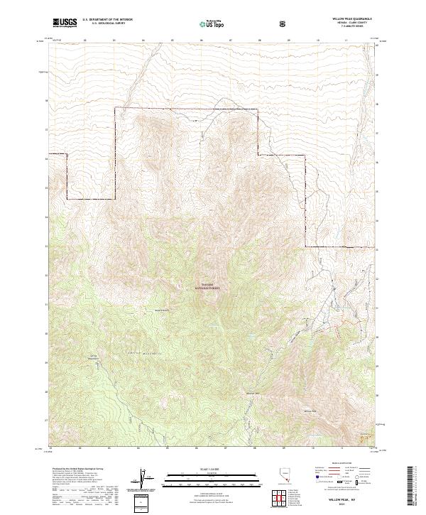
1984 Willow Peak
Clark County, NV
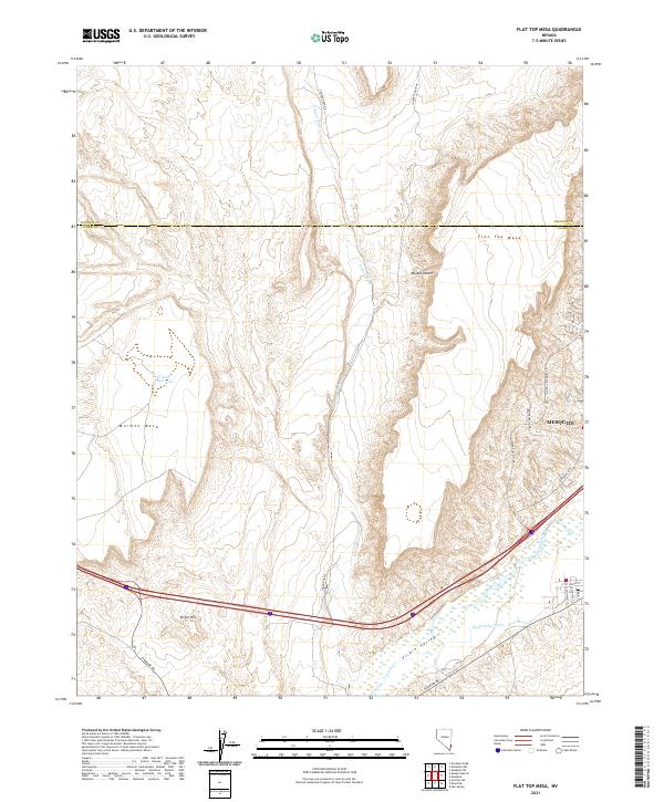
1985 Flat Top Mesa
Clark County, NV
1985 Roach
Clark County, NV
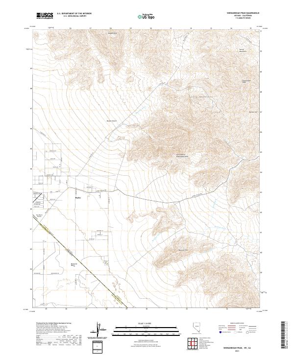
1985 Shenandoah Peak
Clark County, NV
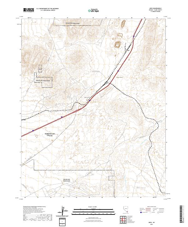
1986 Apex
Clark County, NV
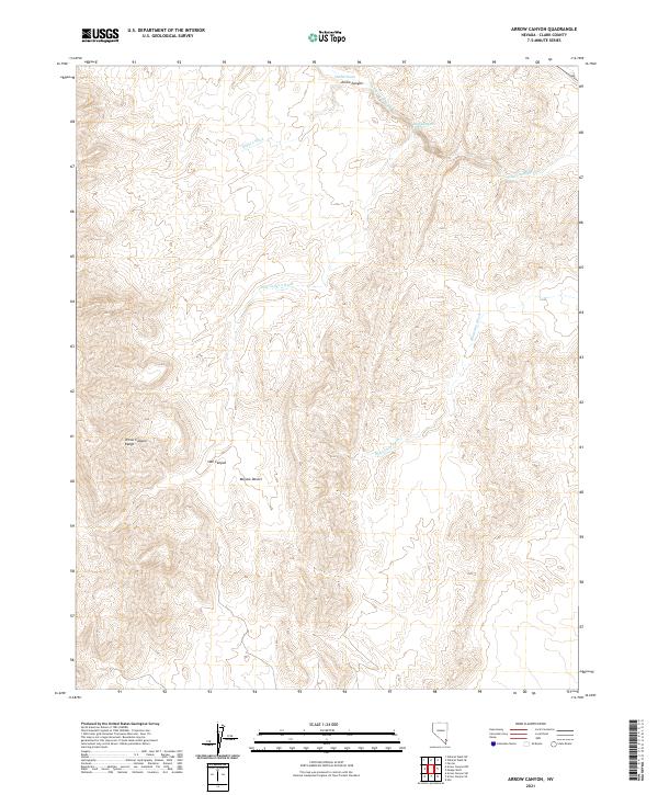
1986 Arrow Canyon
Clark County, NV
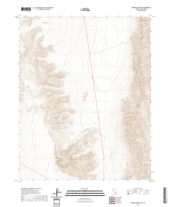
1986 Arrow Canyon NW
Clark County, NV
1986 Arrow Canyon SE
Clark County, NV
1986 Arrow Canyon SW
Clark County, NV
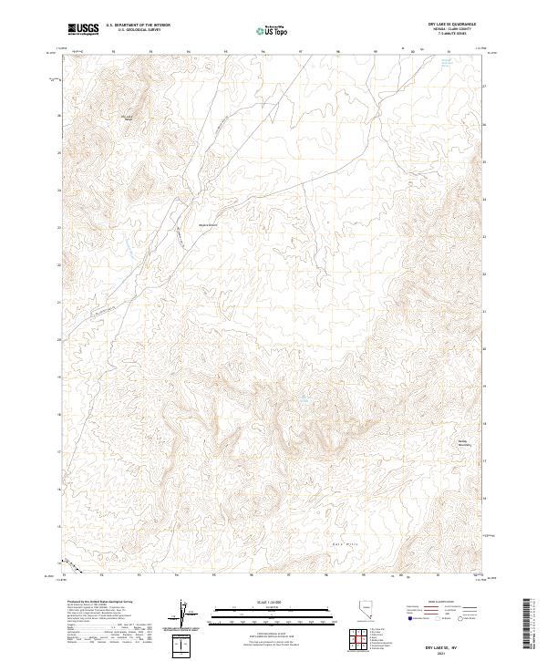
1986 Dry Lake
Clark County, NV
1986 Dry Lake NW
Clark County, NV
1986 Dry Lake SE
Clark County, NV
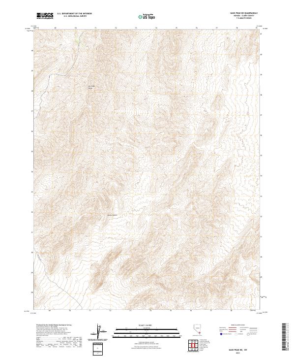
1986 Gass Peak
Clark County, NV
1986 Gass Peak NE
Clark County, NV
1987 Hayford Peak
Clark County, NV
1987 Hayford Peak SE
Clark County, NV
1987 Lake Mead
Clark County, NV
1987 Mormon Well
Clark County, NV
1987 Overton
Clark County, NV
1987 Sheep Peak
Clark County, NV
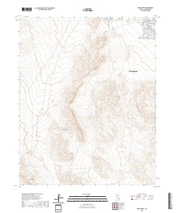
1989 Bird Spring
Clark County, NV
1989 Cottonwood Pass
Clark County, NV
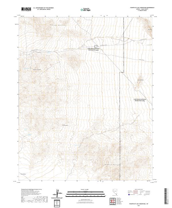
1989 Fourth of July Mountain
Clark County, NV
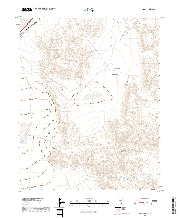
1989 Hidden Valley
Clark County, NV
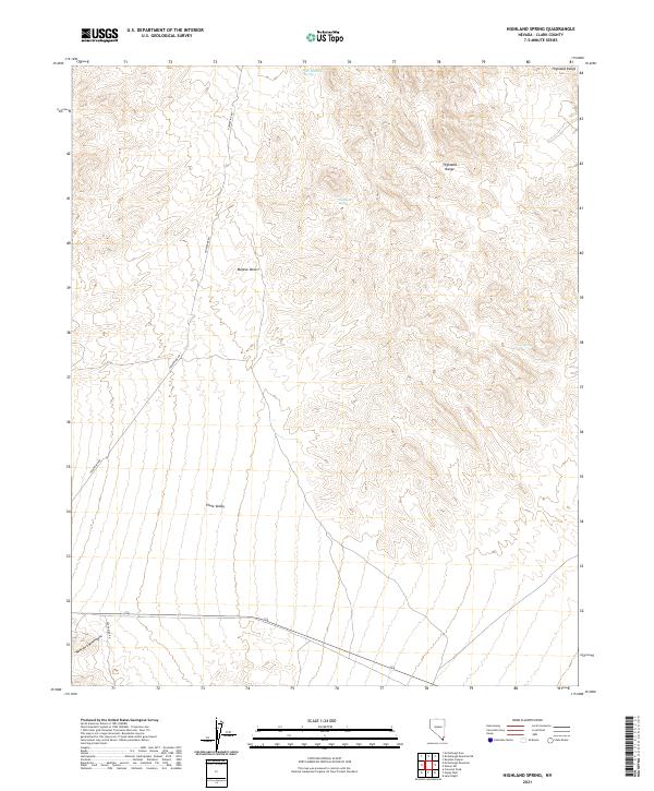
1989 Highland Spring
Clark County, NV
1989 Jean
Clark County, NV
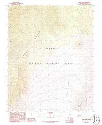
1989 McCullough Mountain
Clark County, NV
1989 McCullough Mountain NE
Clark County, NV
1989 McCullough Pass
Clark County, NV
1989 Searchlight SE
Clark County, NV
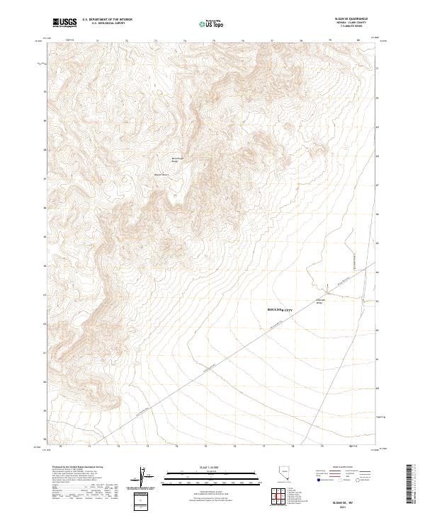
1989 Sloan
Clark County, NV
1989 Sloan NE
Clark County, NV
1989 Sloan SE
Clark County, NV
1989 Tenmile Well
Clark County, NV
1997 Hoover Dam
Clark County, NV
2021 Angel Peak
Clark County, NV
2021 Apex
Clark County, NV
2021 Arrow Canyon
Clark County, NV
2021 Arrow Canyon NW
Clark County, NV
2021 Arrow Canyon SE
Clark County, NV
2021 Arrow Canyon SW
Clark County, NV
2021 Azure Ridge
Clark County, NV
2021 Bitter Spring
Clark County, NV
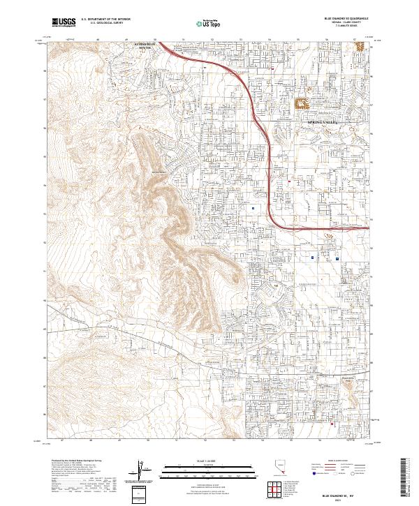
2021 Blue Diamond SE
Clark County, NV
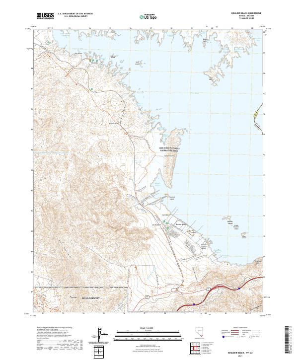
2021 Boulder Beach
Clark County, NV
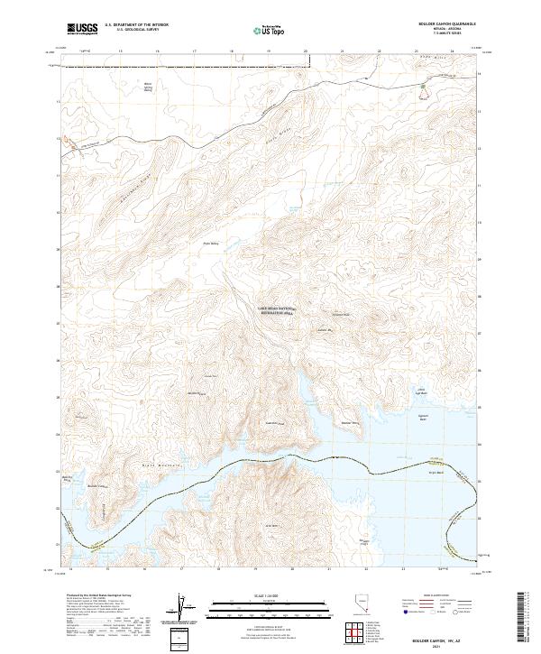
2021 Boulder Canyon
Clark County, NV
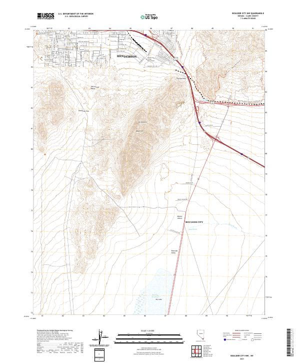
2021 Boulder City NW
Clark County, NV
2021 Boulder City SE
Clark County, NV
2021 Boulder City SW
Clark County, NV
2021 Bridge Canyon
Clark County, NV
2021 Callville Bay
Clark County, NV
2021 Charleston Peak
Clark County, NV
2021 Charleston Peak NE
Clark County, NV
2021 Cold Creek
Clark County, NV
2021 Cottonwood Pass
Clark County, NV
2021 Crescent Peak
Clark County, NV
2021 Devils Throat
Clark County, NV
2021 Dry Lake
Clark County, NV
2021 Dry Lake NW
Clark County, NV
2021 Dry Lake SE
Clark County, NV
2021 Echo Bay
Clark County, NV
2021 Farrier
Clark County, NV
2021 Flat Top Mesa
Clark County, NV
2021 Fourth of July Mountain
Clark County, NV
2021 Frenchman Mountain
Clark County, NV
2021 Garrett Butte
Clark County, NV
2021 Gass Peak NE
Clark County, NV
2021 Gold Butte
Clark County, NV

2021 Government Wash
Clark County, NV
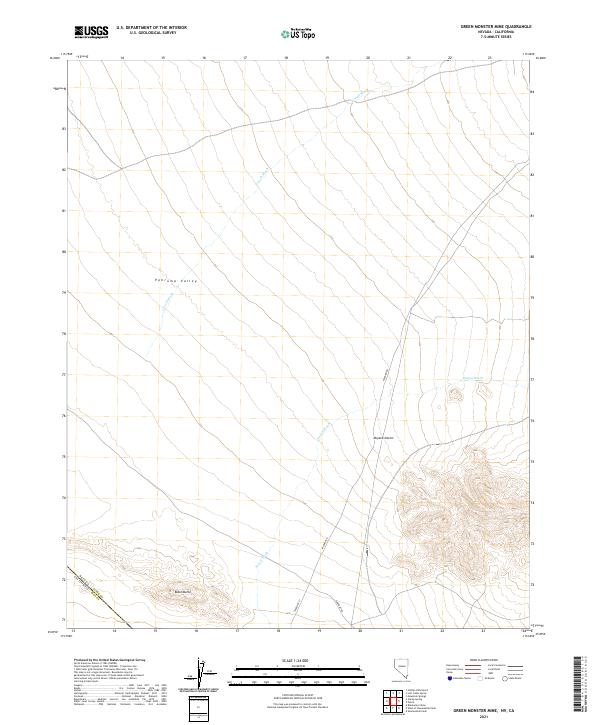
2021 Green Monster Mine
Clark County, NV
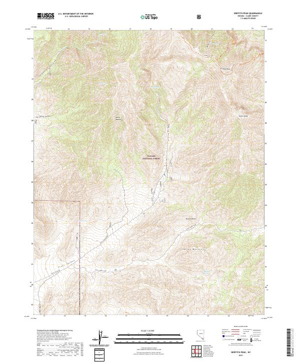
2021 Griffith Peak
Clark County, NV
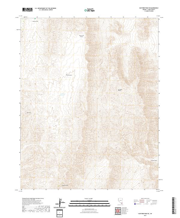
2021 Hayford Peak SE
Clark County, NV
2021 Hen Spring
Clark County, NV
2021 Hidden Hills Ranch
Clark County, NV
2021 Hidden Valley
Clark County, NV
2021 Highland Spring
Clark County, NV
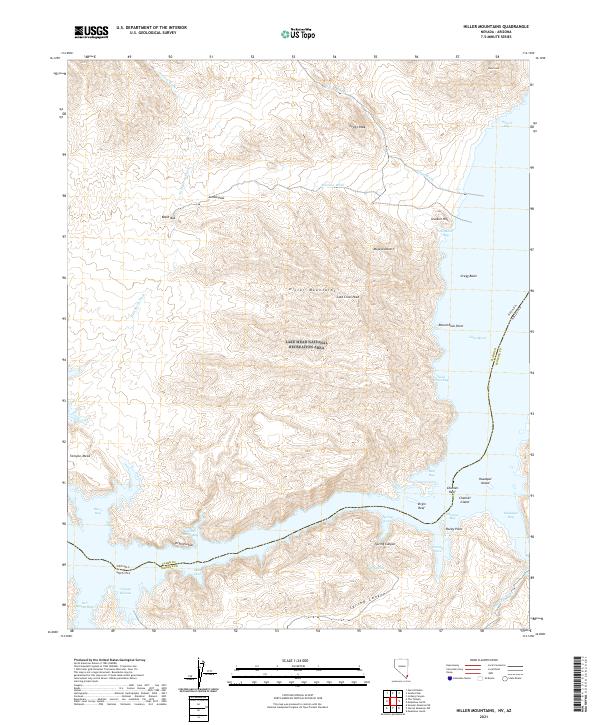
2021 Hiller Mountains
Clark County, NV
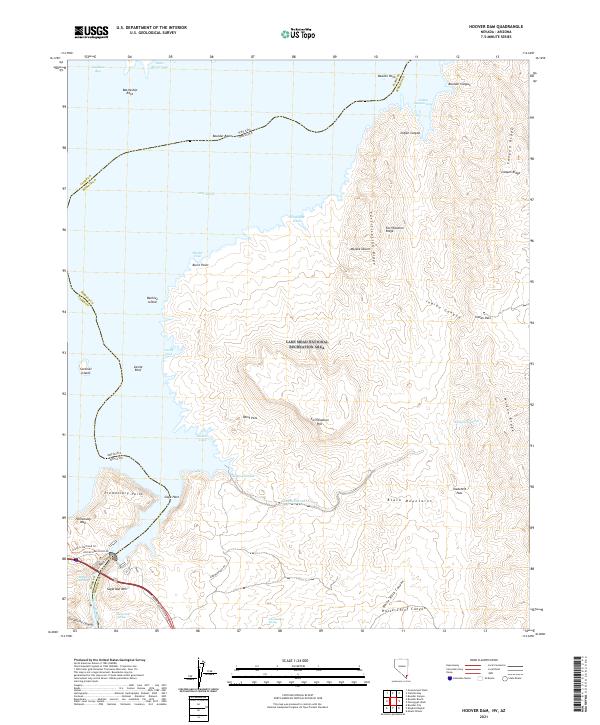
2021 Hoover Dam
Clark County, NV
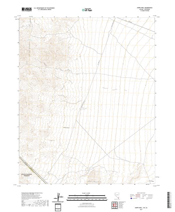
2021 Hopps Well
Clark County, NV
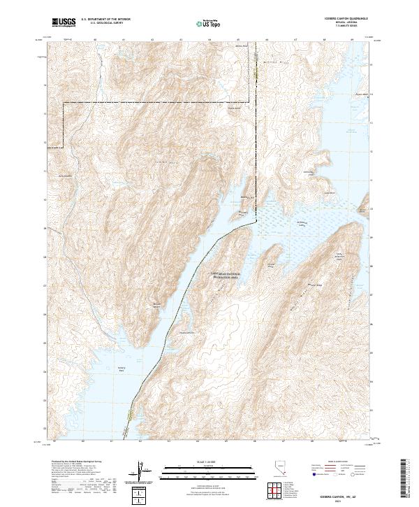
2021 Iceberg Canyon
Clark County, NV
2021 Ireteba Peaks
Clark County, NV
2021 Jean
Clark County, NV
2021 Jumbo Peak
Clark County, NV
2021 Juniper Mine
Clark County, NV
2021 Keyhole Canyon
Clark County, NV
2021 La Madre Mountain
Clark County, NV
2021 La Madre Spring
Clark County, NV
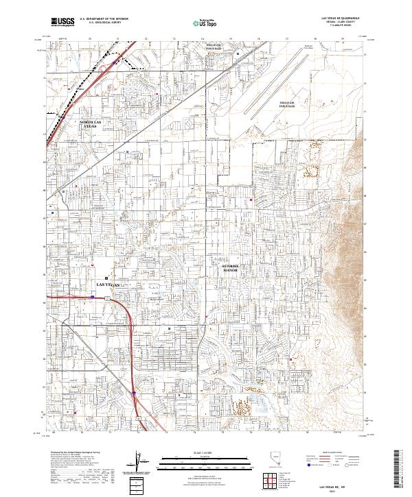
2021 Las Vegas NE
Clark County, NV
2021 Las Vegas SW
Clark County, NV
2021 Lime Wash
Clark County, NV
2021 Lost Cabin Spring
Clark County, NV
2021 McCullough Mountain
Clark County, NV
2021 McCullough Mountain NE
Clark County, NV
2021 McCullough Pass
Clark County, NV
2021 Middle Point
Clark County, NV
2021 Moapa East
Clark County, NV
2021 Moapa Peak
Clark County, NV
2021 Moapa Peak SE
Clark County, NV
2021 Moapa West
Clark County, NV
2021 Mormon Well
Clark County, NV
2021 Mountain Springs
Clark County, NV
2021 Muddy Peak
Clark County, NV
2021 Mule Deer Ridge SE
Clark County, NV
2021 Nelson SW
Clark County, NV
2021 Overton Beach
Clark County, NV
2021 Overton
Clark County, NV
2021 Overton NE
Clark County, NV
2021 Overton NW
Clark County, NV
2021 Overton SE
Clark County, NV
2021 Pahrump NE
Clark County, NV
2021 Piute Point
Clark County, NV
2021 Potosi
Clark County, NV
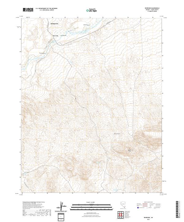
2021 Riverside
Clark County, NV
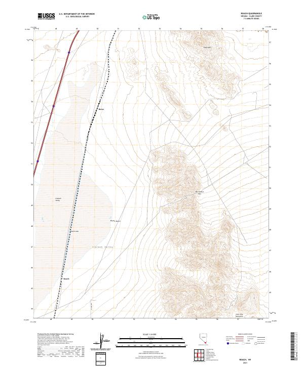
2021 Roach
Clark County, NV
2021 Rox SE
Clark County, NV
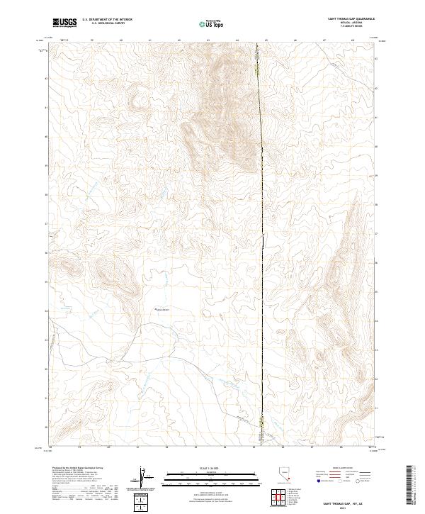
2021 Saint Thomas Gap
Clark County, NV
2021 Searchlight SE
Clark County, NV
2021 Shenandoah Peak
Clark County, NV
2021 Sloan
Clark County, NV
2021 Sloan NE
Clark County, NV
2021 Sloan SE
Clark County, NV
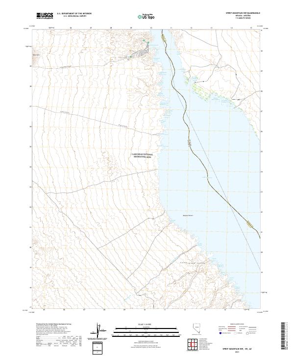
2021 Spirit Mountain
Clark County, NV
2021 Spirit Mountain NW
Clark County, NV
2021 Stump Spring
Clark County, NV
2021 Tenmile Well
Clark County, NV
2021 The Temple
Clark County, NV
2021 Ute
Clark County, NV
2021 Valley
Clark County, NV
2021 Valley of Fire East
Clark County, NV
2021 Valley of Fire West
Clark County, NV
2021 Virgin Peak
Clark County, NV
2021 Weiser Ridge
Clark County, NV
2021 Wheeler Well
Clark County, NV
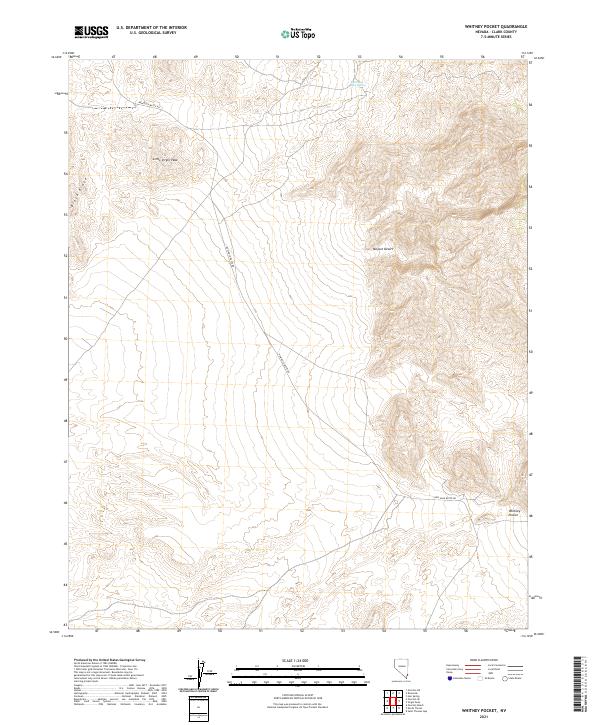
2021 Whitney Pocket
Clark County, NV
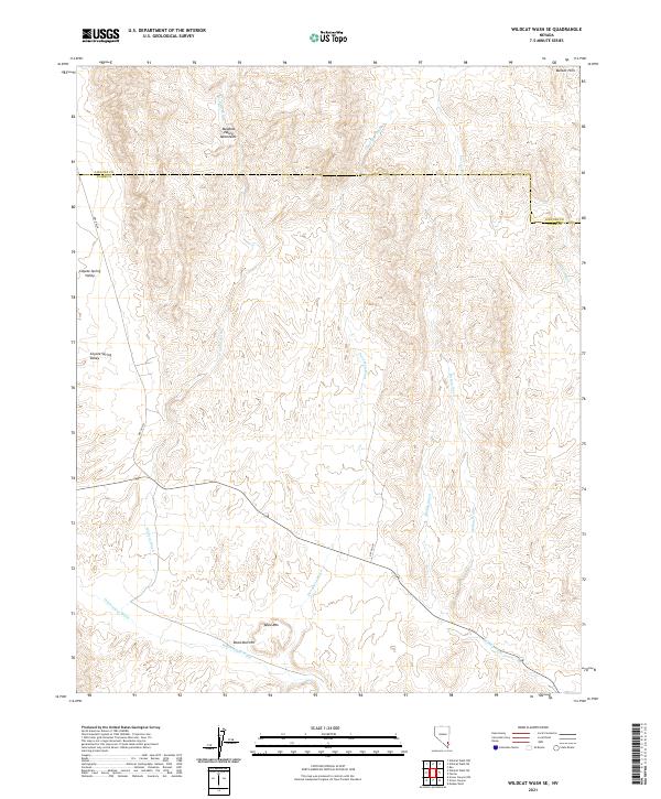
2021 Wildcat Wash SE
Clark County, NV
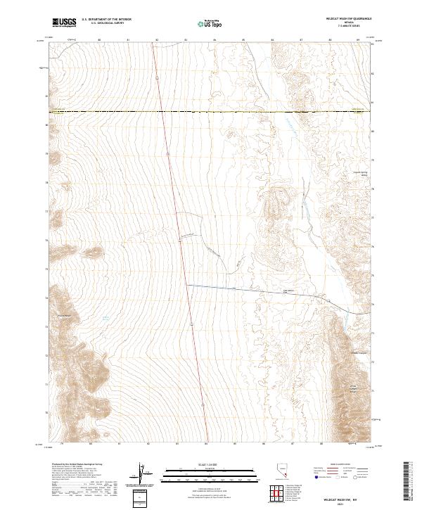
2021 Wildcat Wash SW
Clark County, NV
2021 Willow Peak
Clark County, NV
2023 Bird Spring
Clark County, NV
2023 Blue Diamond NE
Clark County, NV
2023 Las Vegas NW
Clark County, NV
2023 Las Vegas SE
Clark County, NV