
2024 Map of Mount Wallace
USGS Topo · Published 2024About this map
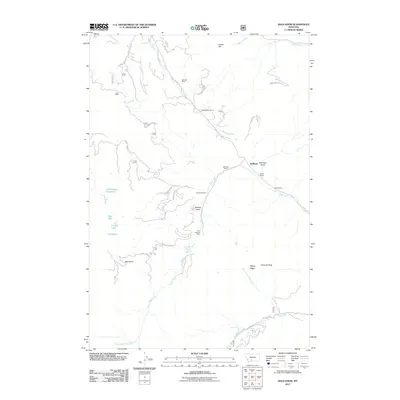
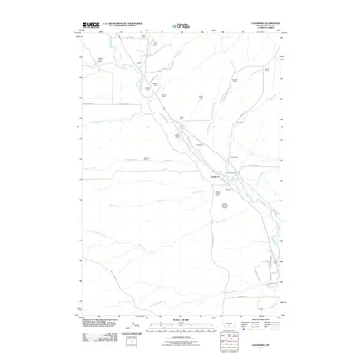
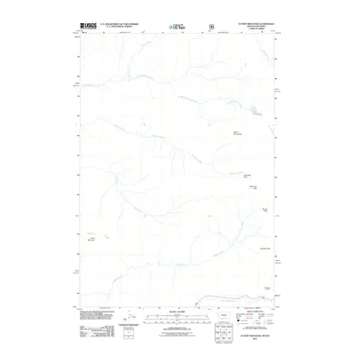
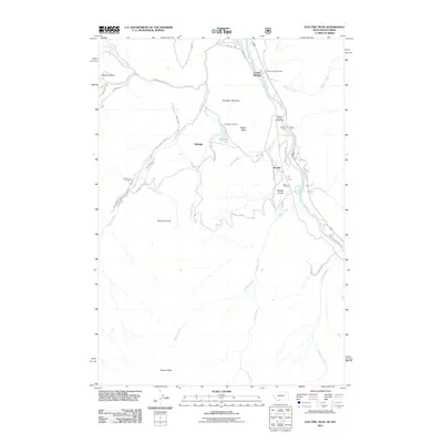
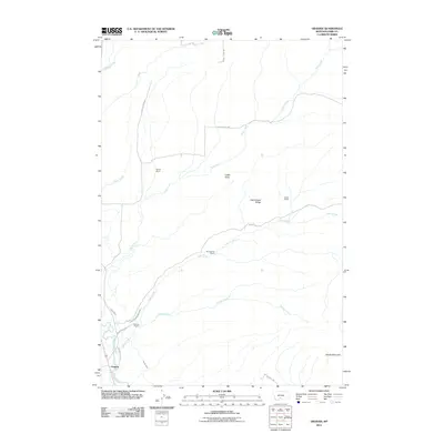
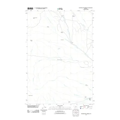
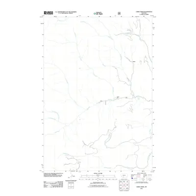
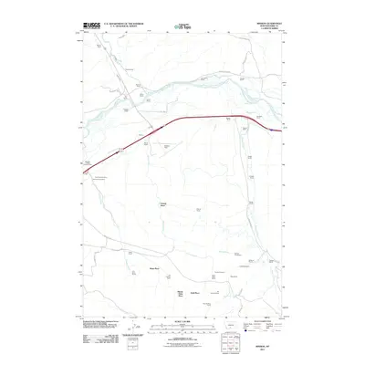
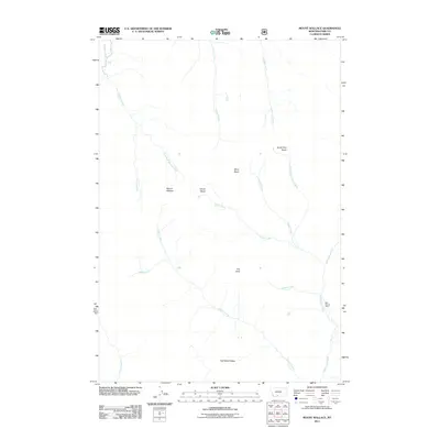
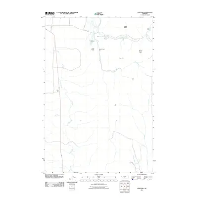
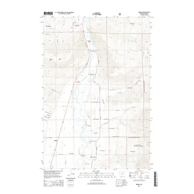
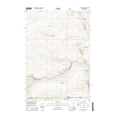
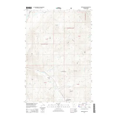
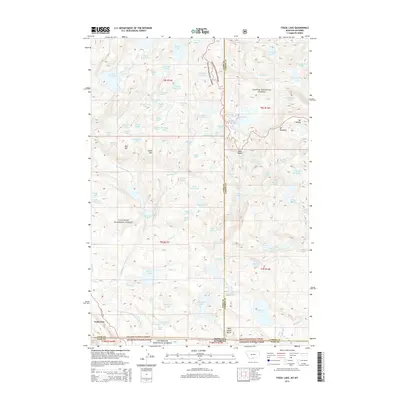
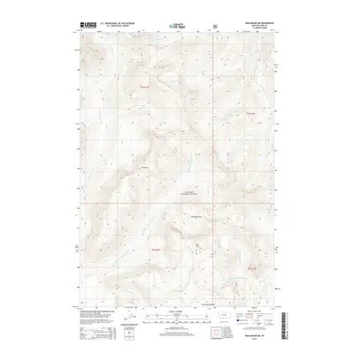
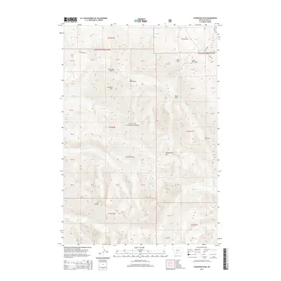
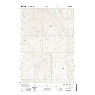
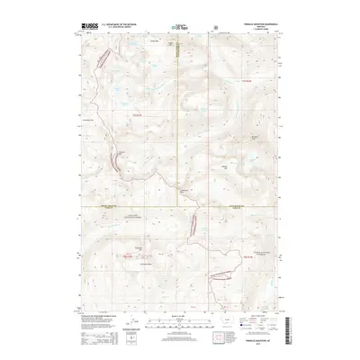
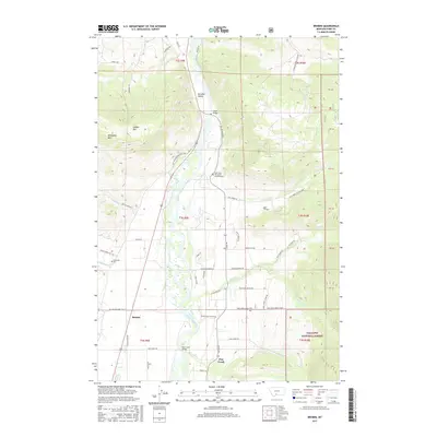
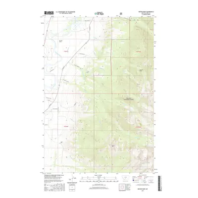
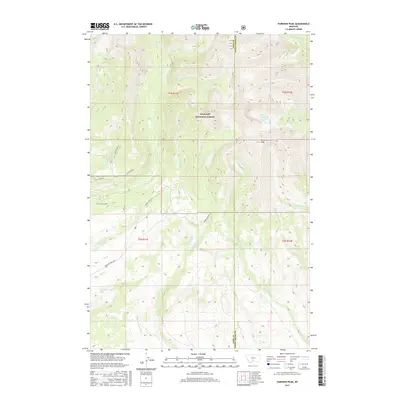
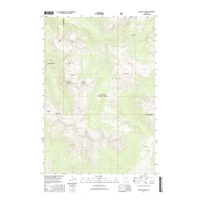
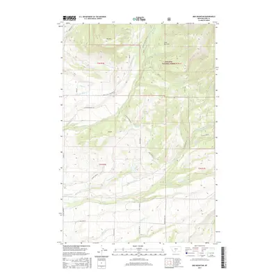
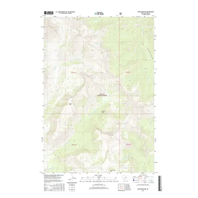
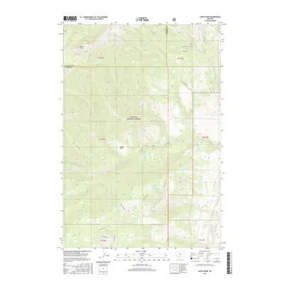
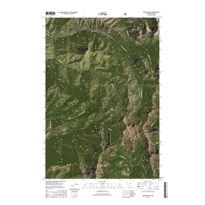
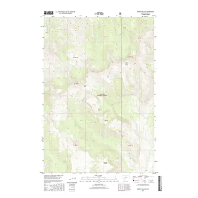
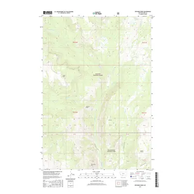
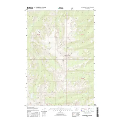
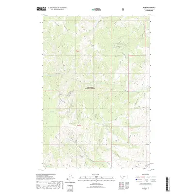
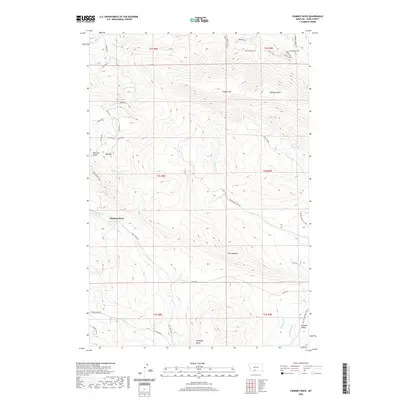
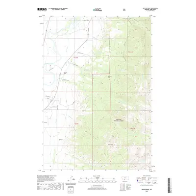
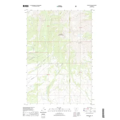
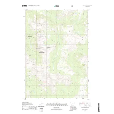
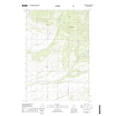
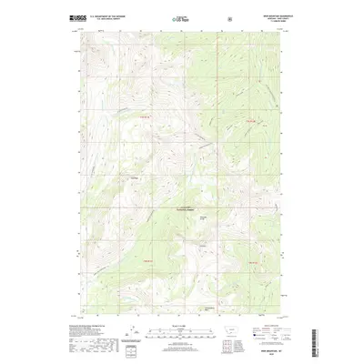
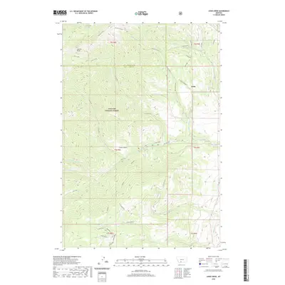
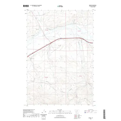
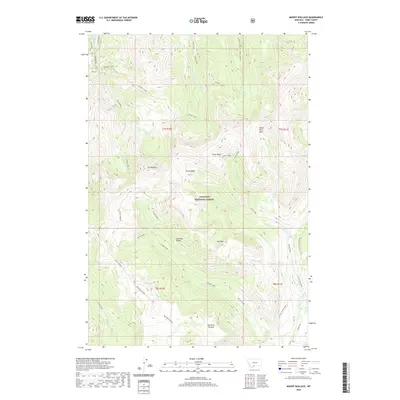
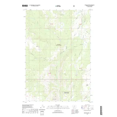
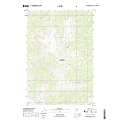
Mt Wallace stands as a central peak within the Absaroka Range of Montana, anchoring a landscape defined by dramatic high-altitude basins and headwater streams. This modern survey detail shows the deep drainages of Wallace Creek and the East Fork Wallace Creek feeding the Yellowstone river system. Protected within the Absaroka-Beartooth Wilderness and Gallatin National Forest, the region is characterized by expansive features like Red Rock Plateau and The Hole. A dense network of primitive paths, including the Passage Creek Trail and Knife Creek Trail, provides the primary means of navigating between landmarks such as Passage Falls and Colley Lake. High basins like Clover Basin, Silver Basin, and the North Fork Basin illustrate the alpine hydrology that sustains the local forks and creeks.
Find a feature on this map
43 named features on this map. Tap any name to fly to it.
Don’t see what you’re looking for? This feature index may not catch every label — zoom into the map to look around manually.
Map Details
Editions of this 2024 Mount Wallace Map
This is the sole edition of this map. No revisions or reprints were ever made.
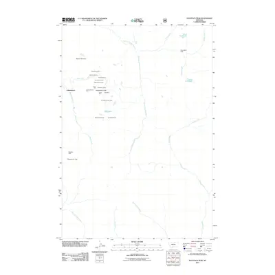
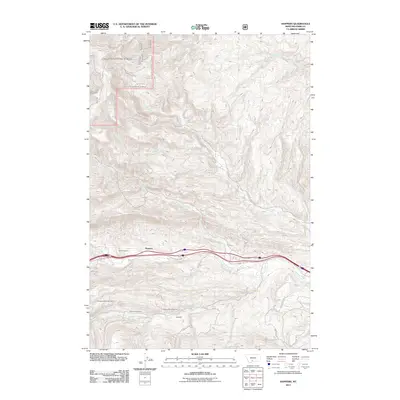
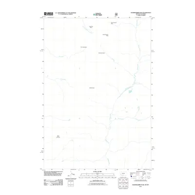
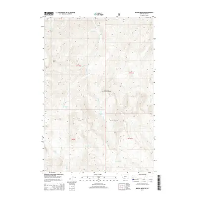
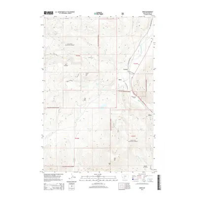
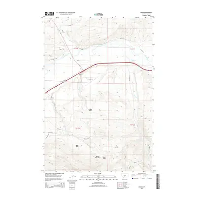
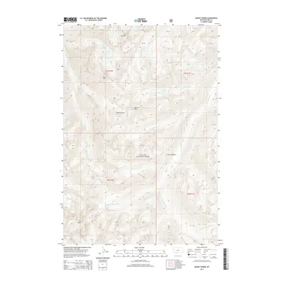
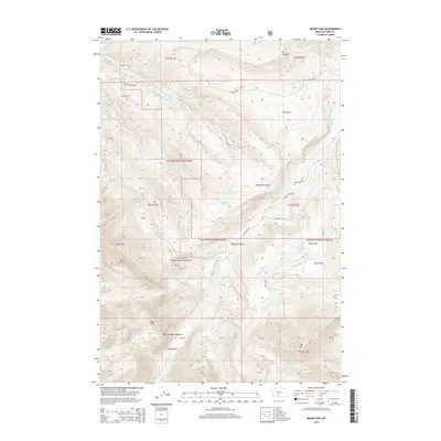
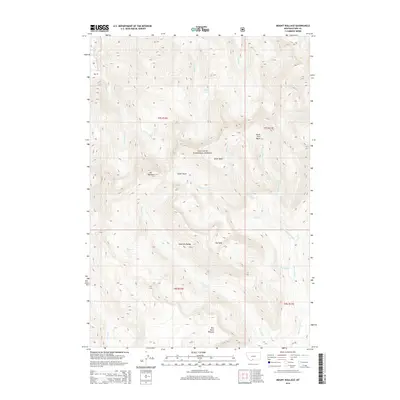
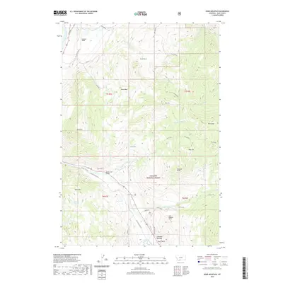
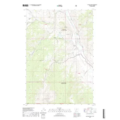
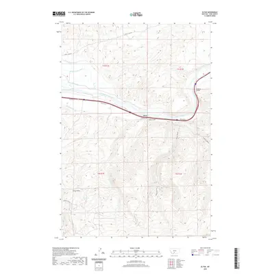
Historical Maps of Park County Through Time
315 maps found

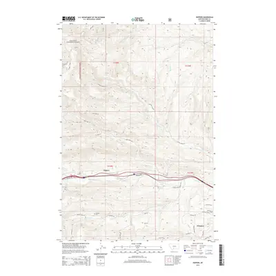
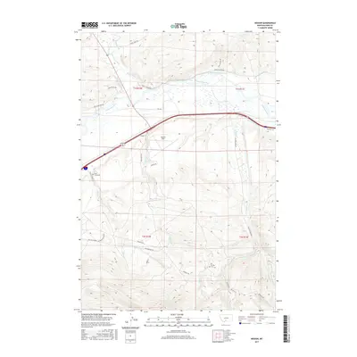
1940 Mt Cowen
Park County, MT

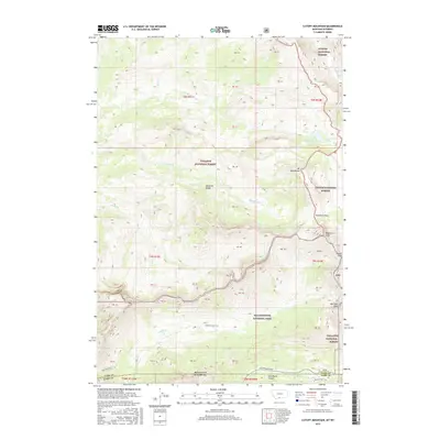
1940 Mt Wallace
Park County, MT

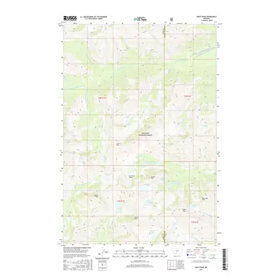
1942 Cutoff Mtn
Park County, MT

1943 Mt. Cowen
Park County, MT

1943 Mt. Wallace
Park County, MT

1944 Cutoff Mtn
Park County, MT

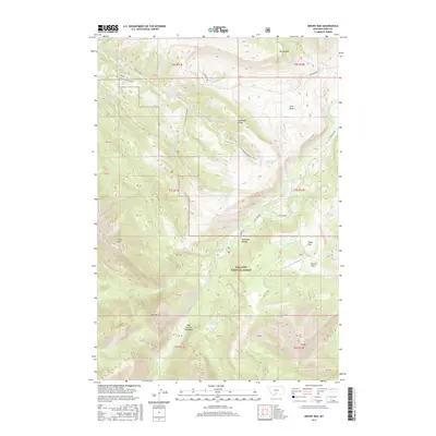
1951 Brisbin
Park County, MT

1951 Chadborn
Park County, MT

1951 Chimney Rock
Park County, MT

1951 Elton
Park County, MT

1951 Fairview Peak
Park County, MT

1951 Gobblers Knob
Park County, MT

1951 Grannis
Park County, MT

1951 Hoppers
Park County, MT

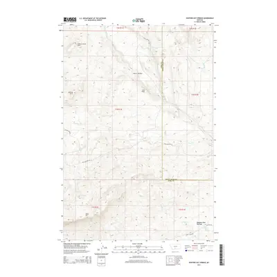
1951 Hunters Hot Springs
Park County, MT

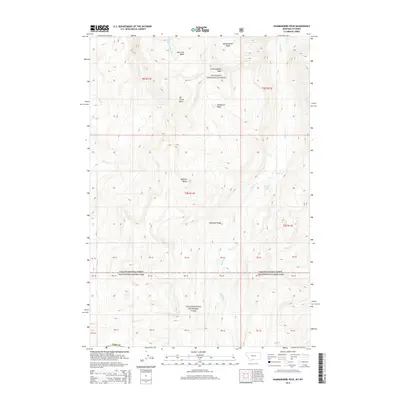
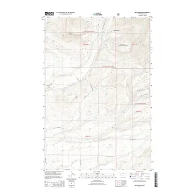
1951 Ibex Mountain
Park County, MT

1951 Livingston Peak
Park County, MT

1951 Mount Rae
Park County, MT

1951 Wolf Hill
Park County, MT

1952 Mission
Park County, MT

1955 Fridley Peak
Park County, MT

1955 Miner
Park County, MT

1972 Campfire Lake
Park County, MT

1972 Cottonwood Reservoir
Park County, MT

1972 Crazy Peak
Park County, MT

1972 Lena Creek
Park County, MT

1972 Scab Rock Mountain
Park County, MT

1986 Dome Mountain
Park County, MT

1986 Electric Peak
Park County, MT

1986 Fossil Lake
Park County, MT

1986 Miner
Park County, MT

1986 Pinnacle Mountain
Park County, MT

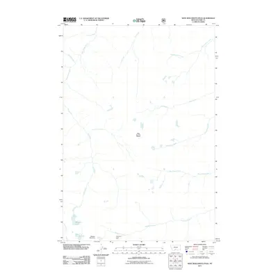
1986 Sportsman Lake
Park County, MT

1987 Ash Mountain
Park County, MT

1987 Bald Knob
Park County, MT

1987 Cutoff Mountain
Park County, MT

1987 Haystack Peak
Park County, MT

1987 Hummingbird Peak
Park County, MT

1987 Iron Mountain
Park County, MT

1987 Mineral Mountain
Park County, MT

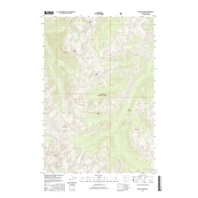
1987 Monitor Peak
Park County, MT

1987 Mount Cowen
Park County, MT

1987 Mount Wallace
Park County, MT

1987 Roundhead Butte
Park County, MT

1987 Specimen Creek
Park County, MT

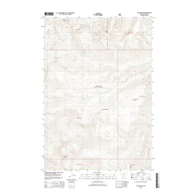
1987 The Needles
Park County, MT

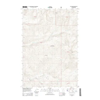
1987 The Pyramid
Park County, MT

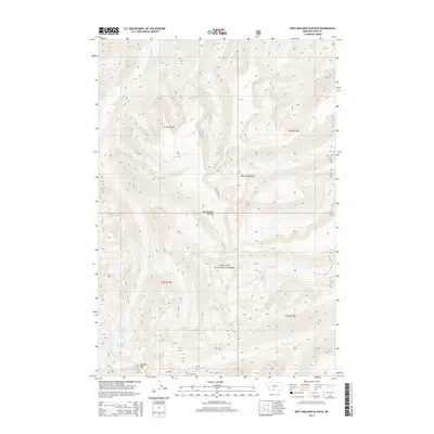
1987 West Boulder Plateau
Park County, MT

1988 Big Draw
Park County, MT

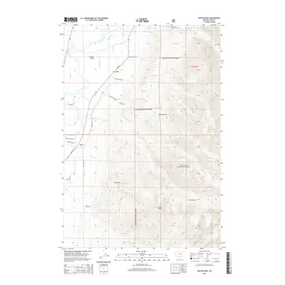
1988 Dailey Lake
Park County, MT

1988 Dexter Point
Park County, MT

1988 Knowles Peak
Park County, MT

1988 Lewis Creek
Park County, MT

1991 Fossil Lake
Park County, MT

1996 Pinnacle Mountain
Park County, MT

2000 Ash Mountain
Park County, MT

2000 Bald Knob
Park County, MT

2000 Big Draw
Park County, MT

2000 Brisbin
Park County, MT

2000 Campfire Lake
Park County, MT

2000 Crazy Peak
Park County, MT

2000 Cutoff Mountain
Park County, MT

2000 Dailey Lake
Park County, MT

2000 Dexter Point
Park County, MT

2000 Dome Mountain
Park County, MT

2000 Electric Peak
Park County, MT

2000 Fairview Peak
Park County, MT

2000 Fossil Lake
Park County, MT

2000 Gobblers Knob
Park County, MT

2000 Haystack Peak
Park County, MT

2000 Hoppers
Park County, MT

2000 Hummingbird Peak
Park County, MT

2000 Ibex Mountain
Park County, MT

2000 Iron Mountain
Park County, MT

2000 Knowles Peak
Park County, MT

2000 Lewis Creek
Park County, MT

2000 Livingston Peak
Park County, MT

2000 Mineral Mountain
Park County, MT

2000 Miner
Park County, MT

2000 Monitor Peak
Park County, MT

2000 Mount Cowen
Park County, MT

2000 Mount Rae
Park County, MT

2000 Mount Wallace
Park County, MT

2000 Roundhead Butte
Park County, MT

2000 Scab Rock Mountain
Park County, MT

2000 Specimen Creek
Park County, MT

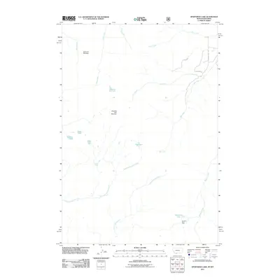
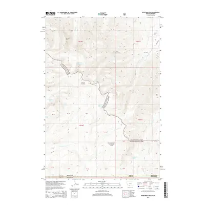
2000 Sportsman Lake
Park County, MT

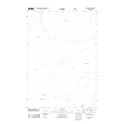
2000 The Needles
Park County, MT

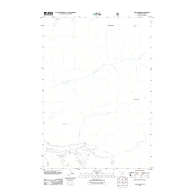
2000 The Pyramid
Park County, MT

2000 West Boulder Plateau
Park County, MT

2011 Ash Mountain
Park County, MT
2011 Bald Knob
Park County, MT
2011 Big Draw
Park County, MT
2011 Brisbin
Park County, MT
2011 Campfire Lake
Park County, MT
2011 Chadborn
Park County, MT
2011 Chimney Rock
Park County, MT
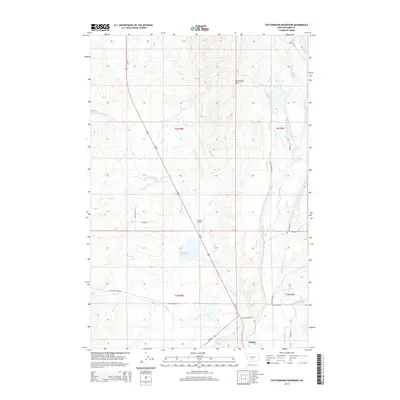
2011 Cottonwood Reservoir
Park County, MT
2011 Crazy Peak
Park County, MT
2011 Cutoff Mountain
Park County, MT
2011 Dailey Lake
Park County, MT
2011 Dexter Point
Park County, MT
2011 Dome Mountain
Park County, MT
2011 Electric Peak
Park County, MT
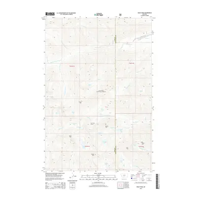
2011 Elton
Park County, MT
2011 Fairview Peak
Park County, MT
2011 Fossil Lake
Park County, MT

2011 Gobblers Knob
Park County, MT
2011 Grannis
Park County, MT
2011 Haystack Peak
Park County, MT
2011 Hoppers
Park County, MT
2011 Hummingbird Peak
Park County, MT
2011 Hunters Hot Springs
Park County, MT

2011 Ibex Mountain
Park County, MT
2011 Iron Mountain
Park County, MT
2011 Knowles Peak
Park County, MT
2011 Lena Creek
Park County, MT
2011 Lewis Creek
Park County, MT
2011 Livingston Peak
Park County, MT
2011 Mineral Mountain
Park County, MT
2011 Miner
Park County, MT
2011 Mission
Park County, MT
2011 Monitor Peak
Park County, MT
2011 Mount Cowen
Park County, MT
2011 Mount Rae
Park County, MT
2011 Mount Wallace
Park County, MT

2011 Pinnacle Mountain
Park County, MT
2011 Roundhead Butte
Park County, MT
2011 Scab Rock Mountain
Park County, MT
2011 Specimen Creek
Park County, MT
2011 Sportsman Lake
Park County, MT
2011 The Needles
Park County, MT
2011 The Pyramid
Park County, MT
2011 West Boulder Plateau
Park County, MT
2011 Wolf Hill
Park County, MT
2014 Ash Mountain
Park County, MT
2014 Bald Knob
Park County, MT
2014 Big Draw
Park County, MT
2014 Brisbin
Park County, MT
2014 Campfire Lake
Park County, MT
2014 Chadborn
Park County, MT
2014 Chimney Rock
Park County, MT
2014 Cottonwood Reservoir
Park County, MT
2014 Crazy Peak
Park County, MT
2014 Cutoff Mountain
Park County, MT

2014 Dailey Lake
Park County, MT
2014 Dexter Point
Park County, MT
2014 Dome Mountain
Park County, MT
2014 Electric Peak
Park County, MT
2014 Elton
Park County, MT
2014 Fairview Peak
Park County, MT
2014 Fossil Lake
Park County, MT
2014 Gobblers Knob
Park County, MT
2014 Grannis
Park County, MT
2014 Haystack Peak
Park County, MT
2014 Hoppers
Park County, MT
2014 Hummingbird Peak
Park County, MT
2014 Hunters Hot Springs
Park County, MT
2014 Ibex Mountain
Park County, MT
2014 Iron Mountain
Park County, MT
2014 Knowles Peak
Park County, MT
2014 Lena Creek
Park County, MT
2014 Lewis Creek
Park County, MT
2014 Livingston Peak
Park County, MT
2014 Mineral Mountain
Park County, MT
2014 Miner
Park County, MT
2014 Mission
Park County, MT
2014 Monitor Peak
Park County, MT
2014 Mount Cowen
Park County, MT
2014 Mount Rae
Park County, MT
2014 Mount Wallace
Park County, MT
2014 Pinnacle Mountain
Park County, MT
2014 Roundhead Butte
Park County, MT
2014 Scab Rock Mountain
Park County, MT
2014 Specimen Creek
Park County, MT
2014 Sportsman Lake
Park County, MT
2014 The Needles
Park County, MT
2014 The Pyramid
Park County, MT
2014 West Boulder Plateau
Park County, MT
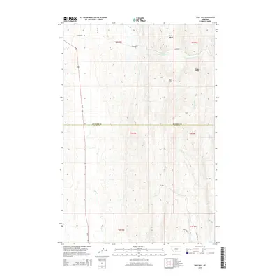
2014 Wolf Hill
Park County, MT
2017 Ash Mountain
Park County, MT
2017 Bald Knob
Park County, MT
2017 Big Draw
Park County, MT
2017 Brisbin
Park County, MT
2017 Campfire Lake
Park County, MT
2017 Chadborn
Park County, MT
2017 Chimney Rock
Park County, MT
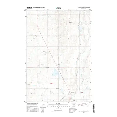
2017 Cottonwood Reservoir
Park County, MT
2017 Crazy Peak
Park County, MT
2017 Cutoff Mountain
Park County, MT
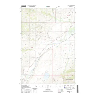
2017 Dailey Lake
Park County, MT
2017 Dexter Point
Park County, MT
2017 Dome Mountain
Park County, MT
2017 Electric Peak
Park County, MT
2017 Elton
Park County, MT
2017 Fairview Peak
Park County, MT
2017 Fossil Lake
Park County, MT
2017 Gobblers Knob
Park County, MT
2017 Grannis
Park County, MT
2017 Haystack Peak
Park County, MT
2017 Hoppers
Park County, MT
2017 Hummingbird Peak
Park County, MT
2017 Hunters Hot Springs
Park County, MT
2017 Ibex Mountain
Park County, MT
2017 Iron Mountain
Park County, MT
2017 Knowles Peak
Park County, MT
2017 Lena Creek
Park County, MT
2017 Lewis Creek
Park County, MT
2017 Livingston Peak
Park County, MT
2017 Mineral Mountain
Park County, MT
2017 Miner
Park County, MT
2017 Mission
Park County, MT
2017 Monitor Peak
Park County, MT
2017 Mount Cowen
Park County, MT
2017 Mount Rae
Park County, MT
2017 Mount Wallace
Park County, MT
2017 Pinnacle Mountain
Park County, MT
2017 Roundhead Butte
Park County, MT
2017 Scab Rock Mountain
Park County, MT
2017 Specimen Creek
Park County, MT
2017 Sportsman Lake
Park County, MT
2017 The Needles
Park County, MT
2017 The Pyramid
Park County, MT
2017 West Boulder Plateau
Park County, MT
2017 Wolf Hill
Park County, MT
2020 Ash Mountain
Park County, MT
2020 Bald Knob
Park County, MT
2020 Big Draw
Park County, MT
2020 Brisbin
Park County, MT
2020 Campfire Lake
Park County, MT
2020 Chadborn
Park County, MT
2020 Chimney Rock
Park County, MT
2020 Cottonwood Reservoir
Park County, MT

2020 Crazy Peak
Park County, MT
2020 Cutoff Mountain
Park County, MT
2020 Dailey Lake
Park County, MT
2020 Dexter Point
Park County, MT
2020 Dome Mountain
Park County, MT
2020 Electric Peak
Park County, MT
2020 Elton
Park County, MT
2020 Fairview Peak
Park County, MT
2020 Fossil Lake
Park County, MT
2020 Gobblers Knob
Park County, MT
2020 Grannis
Park County, MT
2020 Haystack Peak
Park County, MT
2020 Hoppers
Park County, MT
2020 Hummingbird Peak
Park County, MT
2020 Hunters Hot Springs
Park County, MT
2020 Ibex Mountain
Park County, MT
2020 Iron Mountain
Park County, MT
2020 Knowles Peak
Park County, MT
2020 Lena Creek
Park County, MT
2020 Lewis Creek
Park County, MT
2020 Livingston Peak
Park County, MT
2020 Mineral Mountain
Park County, MT
2020 Miner
Park County, MT
2020 Mission
Park County, MT
2020 Monitor Peak
Park County, MT
2020 Mount Cowen
Park County, MT
2020 Mount Rae
Park County, MT
2020 Mount Wallace
Park County, MT
2020 Pinnacle Mountain
Park County, MT
2020 Roundhead Butte
Park County, MT
2020 Scab Rock Mountain
Park County, MT
2020 Specimen Creek
Park County, MT
2020 Sportsman Lake
Park County, MT
2020 The Needles
Park County, MT
2020 The Pyramid
Park County, MT
2020 West Boulder Plateau
Park County, MT
2020 Wolf Hill
Park County, MT

2024 Ash Mountain
Park County, MT

2024 Bald Knob
Park County, MT

2024 Big Draw
Park County, MT

2024 Brisbin
Park County, MT

2024 Campfire Lake
Park County, MT

2024 Chadborn
Park County, MT

2024 Chimney Rock
Park County, MT

2024 Cottonwood Reservoir
Park County, MT

2024 Crazy Peak
Park County, MT

2024 Cutoff Mountain
Park County, MT

2024 Dailey Lake
Park County, MT

2024 Dexter Point
Park County, MT

2024 Dome Mountain
Park County, MT

2024 Electric Peak
Park County, MT

2024 Elton
Park County, MT

2024 Fairview Peak
Park County, MT

2024 Fossil Lake
Park County, MT

2024 Gobblers Knob
Park County, MT

2024 Grannis
Park County, MT

2024 Haystack Peak
Park County, MT

2024 Hoppers
Park County, MT

2024 Hummingbird Peak
Park County, MT

2024 Hunters Hot Springs
Park County, MT

2024 Ibex Mountain
Park County, MT

2024 Iron Mountain
Park County, MT

2024 Knowles Peak
Park County, MT

2024 Lena Creek
Park County, MT

2024 Lewis Creek
Park County, MT

2024 Livingston Peak
Park County, MT

2024 Mineral Mountain
Park County, MT

2024 Miner
Park County, MT

2024 Mission
Park County, MT

2024 Monitor Peak
Park County, MT

2024 Mount Cowen
Park County, MT

2024 Mount Rae
Park County, MT
2024 Mount Wallace
Park County, MT

2024 Pinnacle Mountain
Park County, MT

2024 Roundhead Butte
Park County, MT

2024 Scab Rock Mountain
Park County, MT

2024 Specimen Creek
Park County, MT

2024 Sportsman Lake
Park County, MT

2024 The Needles
Park County, MT

2024 The Pyramid
Park County, MT

2024 West Boulder Plateau
Park County, MT

2024 Wolf Hill
Park County, MT