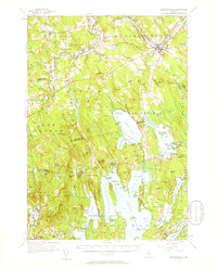
1956 Map of Norridgewock
USGS Topo · Published 1958About this map
The Kennebec River and Sandy River converge near Norridgewock, anchoring a landscape defined by the transition from river-valley agriculture to the expansive Belgrade Lakes region. This mid-century survey captures the rural character of Somerset and Kennebec counties, where historic hill settlements like Rome and Mercer sit among numerous water bodies. The presence of specialized camps such as Camp Abena on Great Pond and Pine Tree Camp on North Pond reflects the area's established role as a summer destination. Local education and community roots are evidenced by a network of district schoolhouses, including the Wiley Sch and Dudley Sch, alongside several family and community burial grounds like Sunset View Cem. The intricate waterway known as The Serpentine connects the larger lakes, illustrating the complex glacial drainage patterns that shaped this interior Maine terrain.
Find a feature on this map
147 named features on this map. Tap any name to fly to it.
Don’t see what you’re looking for? This feature index may not catch every label — zoom into the map to look around manually.
Map Details
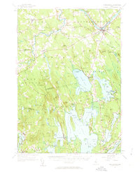
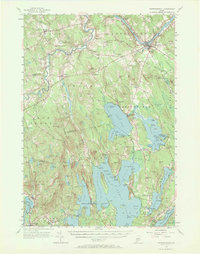
Editions of this 1956 Norridgewock Map
3 editions found
Other maps of this area

1892 · Waterville
USGS Topo · 1:62,500

1892 · Augusta
USGS Topo · 1:62,500

1893 · Vassalboro
USGS Topo · 1:62,500

1894 · Norridgewock
USGS Topo · 1:62,500

1898 · Norridgewock
USGS Topo · 1:62,500

1898 · Vassalboro
USGS Topo · 1:62,500

1904 · Anson
USGS Topo · 1:62,500

1910 · Livermore
USGS Topo · 1:62,500

1912 · Livermore
USGS Topo · 1:62,500

1913 · Skowhegan
USGS Topo · 1:62,500