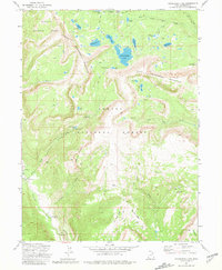
1972 Map of Grandaddy Lake
USGS Topo · Published 1981About this map
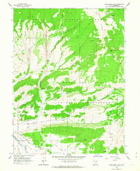
The High Uintas wilderness is defined here by the split between Wasatch National Forest and Ashley National Forest, centered on the prominent heights of West Grandaddy Mountain and East Grandaddy Mountain. This landscape is dominated by glacial basins and high-altitude water bodies, including the large Grandaddy Lake, Betsy Lake, and the sequestered Arta Lake. Human presence in the early 1970s is marked primarily by backcountry infrastructure and seasonal recreation, with sites like the Brinton Meadow Guard Sta and Grandview Transfer Camp serving as hubs for wilderness travel.
Find a feature on this map
50 named features on this map. Tap any name to fly to it.
Don’t see what you’re looking for? This feature index may not catch every label — zoom into the map to look around manually.
Map Details
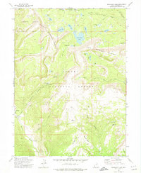
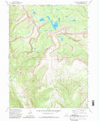
Editions of this 1972 Grandaddy Lake Map
3 editions found
Other maps of this area

1885 · Uinta
USGS Topo · 1:250,000

1901 · Hayden Peak
USGS Topo · 1:125,000

1903 · Hayden Peak
USGS Topo · 1:125,000

1954 · Salt Lake City
USGS Topo · 1:250,000

1958 · Salt Lake City
USGS Topo · 1:250,000

1960 · Salt Lake City
USGS Topo · 1:250,000
1962 · Wolf Creek
USGS Topo · 1:24,000

1962 · Hanna
USGS Topo · 1:24,000
1962 · Farm Creek Peak
USGS Topo · 1:24,000

1967 · Explorer Peak
USGS Topo · 1:24,000