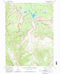
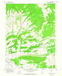
1972 Map of Grandaddy Lake
USGS Topo · Published 1981About this map
Grandaddy Lake sits at the center of this high-altitude landscape, where the Wasatch National Forest meets the Ashley National Forest. The 1972 survey reveals a geography shaped by glacial activity and early mountain recreation, marked by the presence of the Brinton Meadow Guard Sta and several pack trails like the Fish Creek Pack Trail. The western portion is dominated by the deep Hades Canyon, featuring landmarks such as Castle Rocks and the Castle Cliffs Campground near the Duchesne River. Evidence of historical land use appears in the south with a single Adit near the Jeep Trail, while localized hospitality is represented by the Defas Dude Ranch. The intricate drainage system including South Fork Rock Creek and Swift Creek underscores the importance of this watershed for the surrounding Duchesne County region.
Find a feature on this map
51 named features on this map. Tap any name to fly to it.
Don’t see what you’re looking for? This feature index may not catch every label — zoom into the map to look around manually.
Map Details
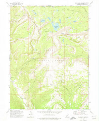
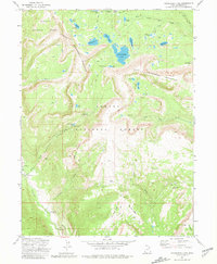
Editions of this 1972 Grandaddy Lake Map
3 editions found
Other maps of this area

1885 · Uinta
USGS Topo · 1:250,000

1901 · Hayden Peak
USGS Topo · 1:125,000

1903 · Hayden Peak
USGS Topo · 1:125,000

1954 · Salt Lake City
USGS Topo · 1:250,000

1958 · Salt Lake City
USGS Topo · 1:250,000

1960 · Salt Lake City
USGS Topo · 1:250,000
1962 · Wolf Creek
USGS Topo · 1:24,000

1962 · Hanna
USGS Topo · 1:24,000
1962 · Farm Creek Peak
USGS Topo · 1:24,000

1967 · Explorer Peak
USGS Topo · 1:24,000