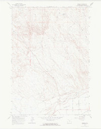
1967 Map of Emblem
USGS Topo · Published 1970About this map
Emblem Bench dominates this high plains landscape in Big Horn County, where the transition from arid draws to irrigated land is clearly marked by the Dry Creek Lateral Bench Canal. The small settlement of Emblem sits at the southern edge of the plateau, serving as a focal point for the surrounding ranching and farming operations. The terrain is defined by a series of drainage systems, including Sand Draw and Emblem Draw, which channel seasonal runoff toward the larger Dry Creek valley.
Find a feature on this map
19 named features on this map. Tap any name to fly to it.
Don’t see what you’re looking for? This feature index may not catch every label — zoom into the map to look around manually.
Map Details
Editions of this 1967 Emblem Map
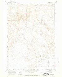
2 editions found
Other maps of this area

1951 · Burlington
USGS Topo · 1:24,000

1951 · Y U Bench NE
USGS Topo · 1:24,000

1951 · Otto
USGS Topo · 1:24,000

1955 · Cody
USGS Topo · 1:250,000

1958 · Cody
USGS Topo · 1:250,000

1962 · Cody
USGS Topo · 1:250,000

1966 · Gilmore Hill NE
USGS Topo · 1:24,000

1966 · North Emblem Reservoir
USGS Topo · 1:24,000

1966 · Gilmore Hill SE
USGS Topo · 1:24,000

1966 · Jack Horner Reservoir
USGS Topo · 1:24,000