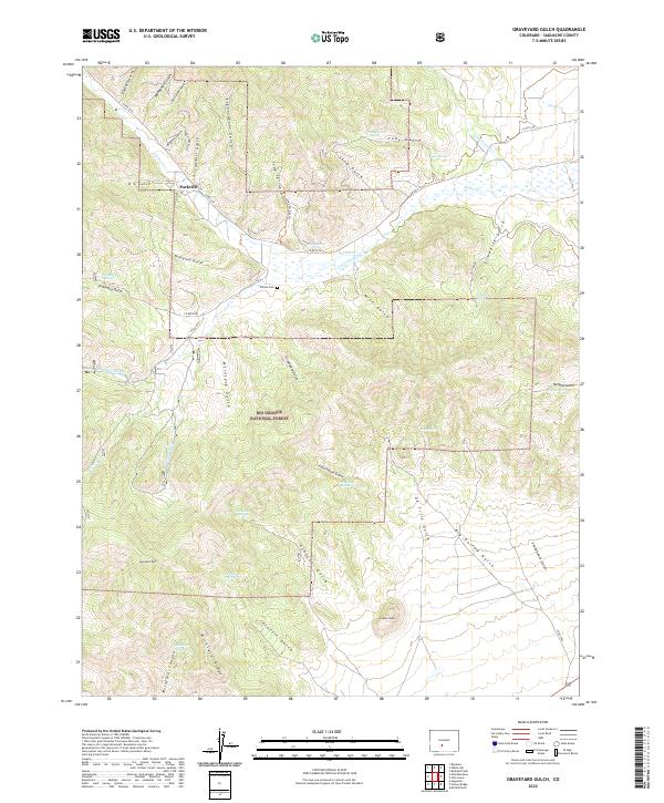
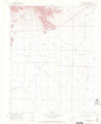
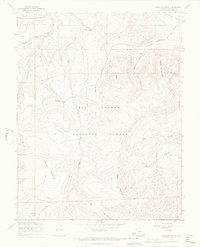
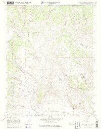
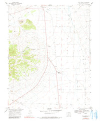
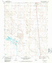
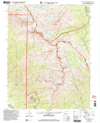
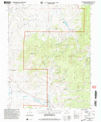
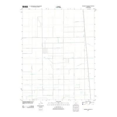
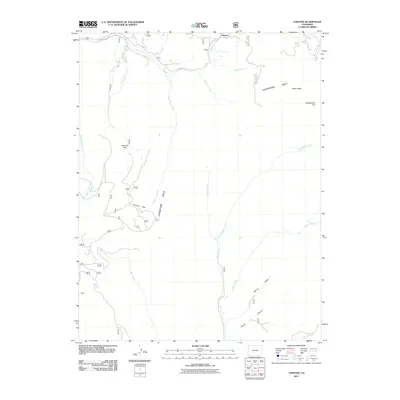
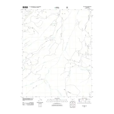
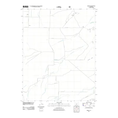
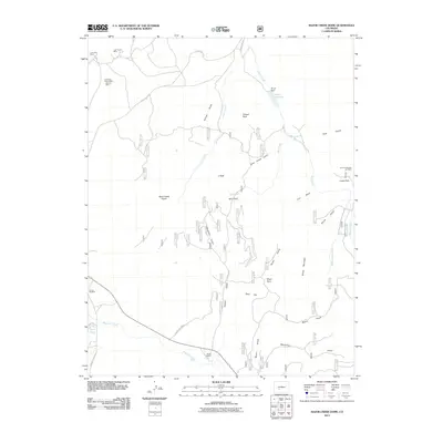
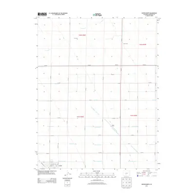
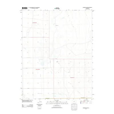
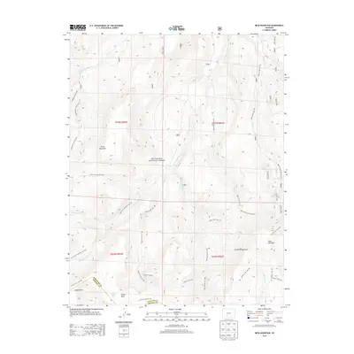
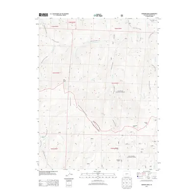
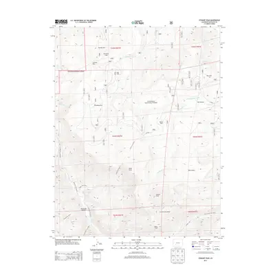
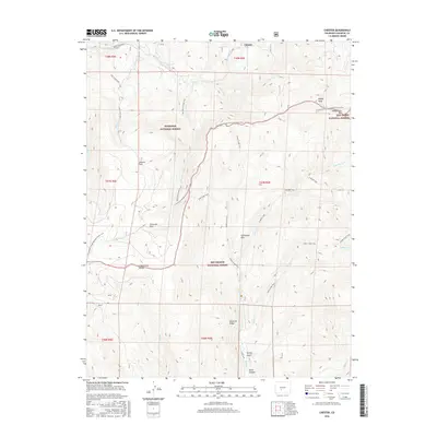
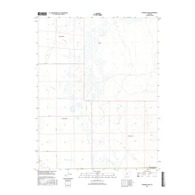
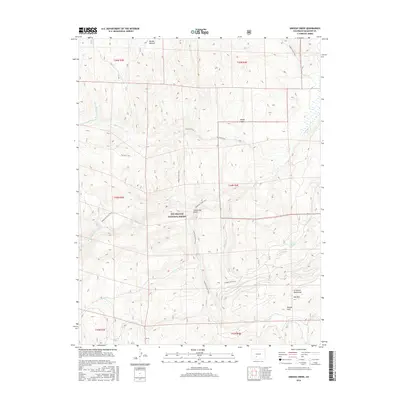
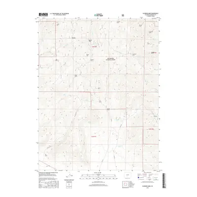
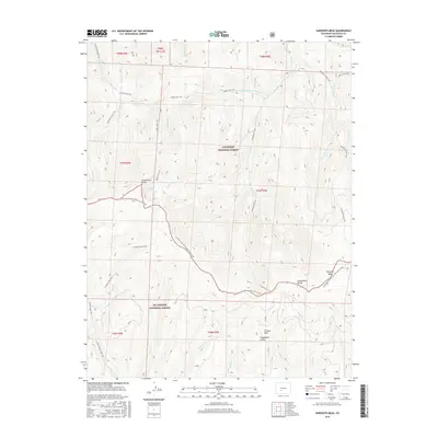
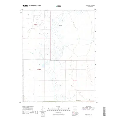
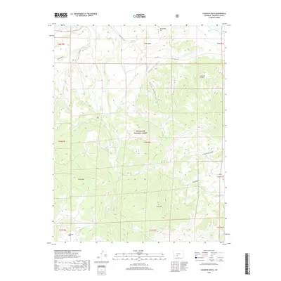
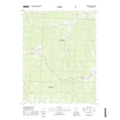
2022 Map of Graveyard Gulch
USGS Topo · Published 2022About this map
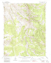
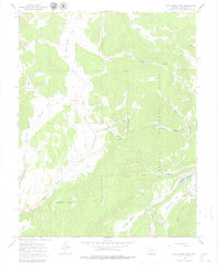
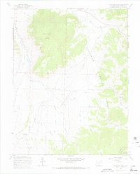
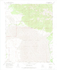
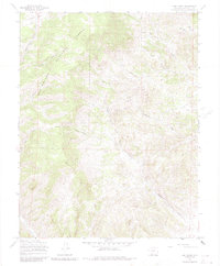
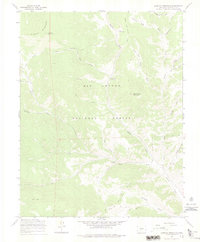
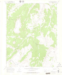
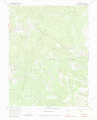
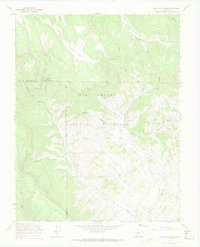
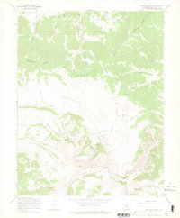
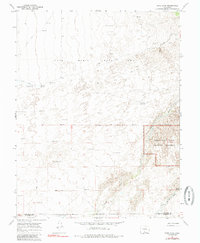
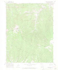
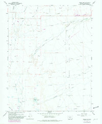
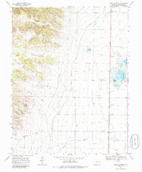
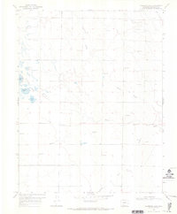
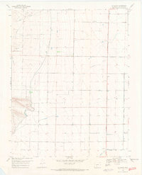
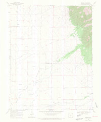
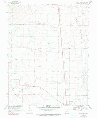
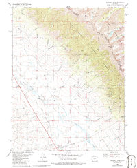
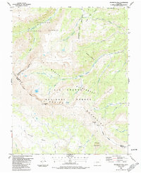
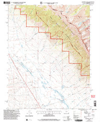
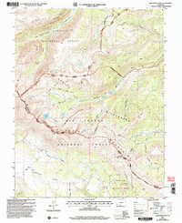
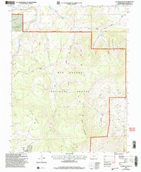
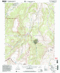
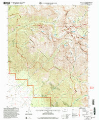
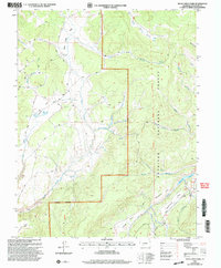
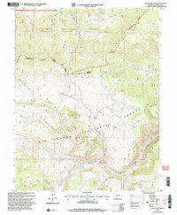
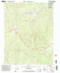
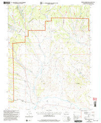
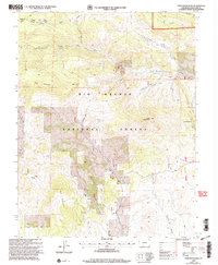
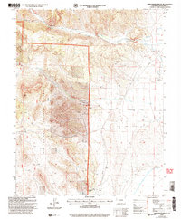
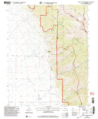
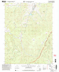
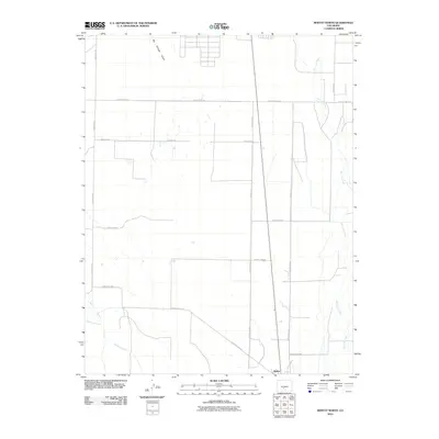
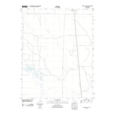
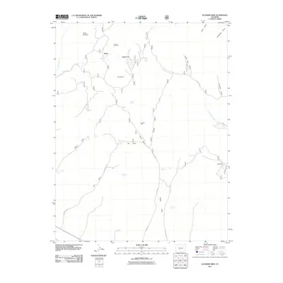
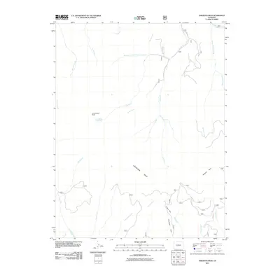
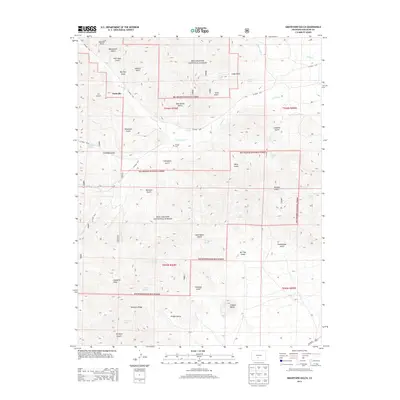
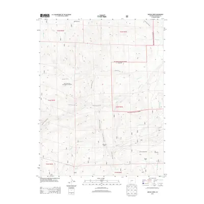
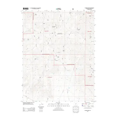
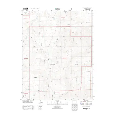
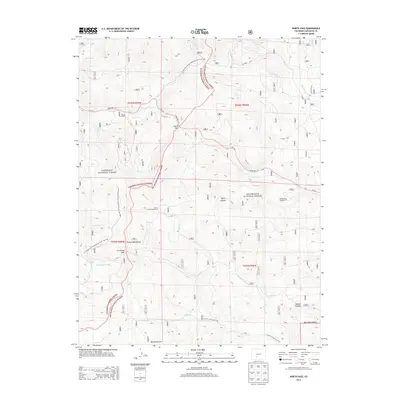
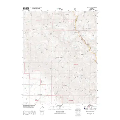
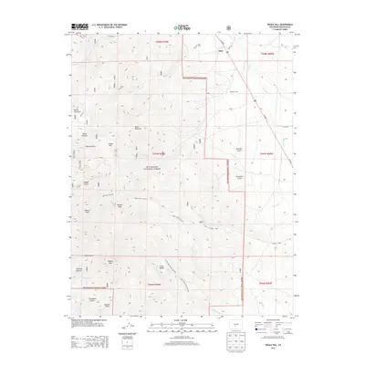
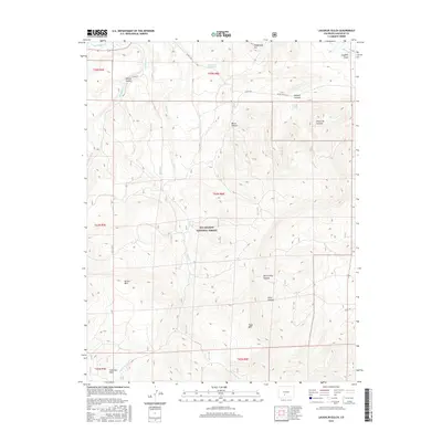
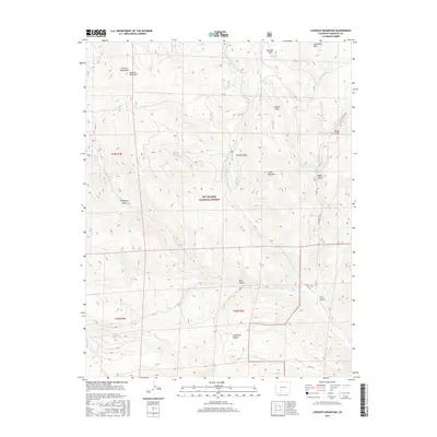
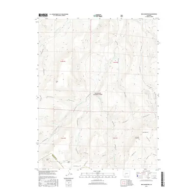
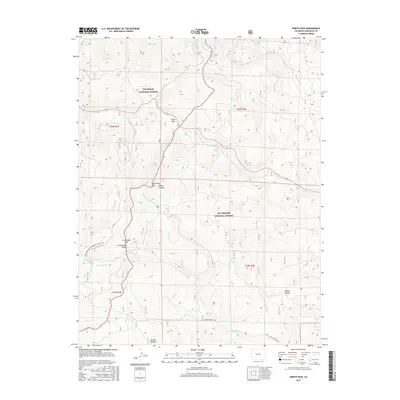
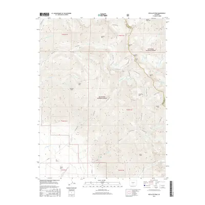
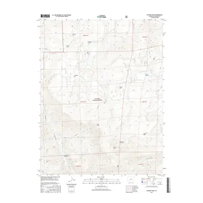
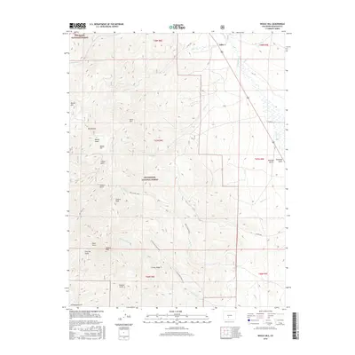
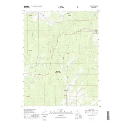
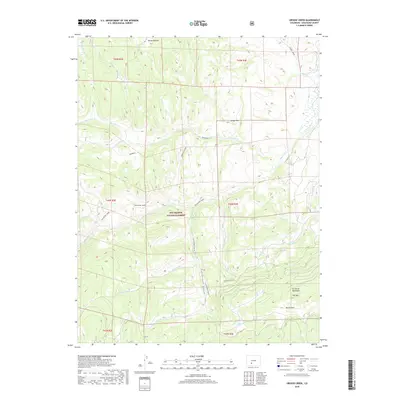
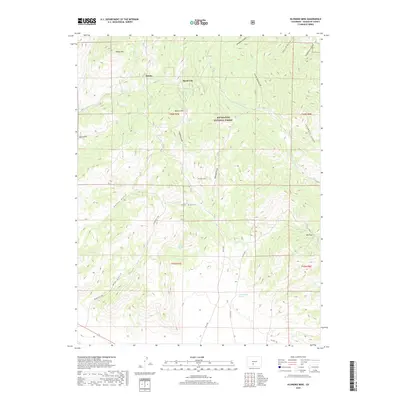
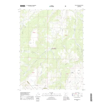
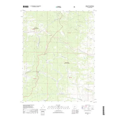
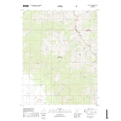
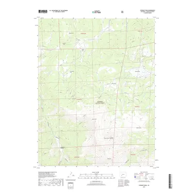
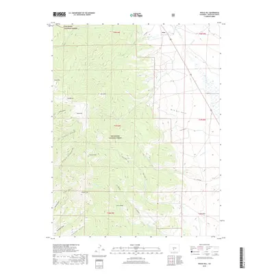
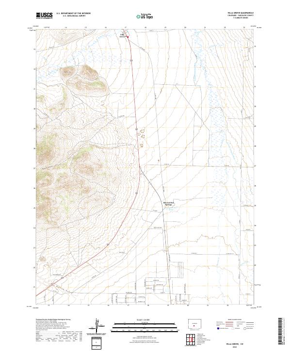
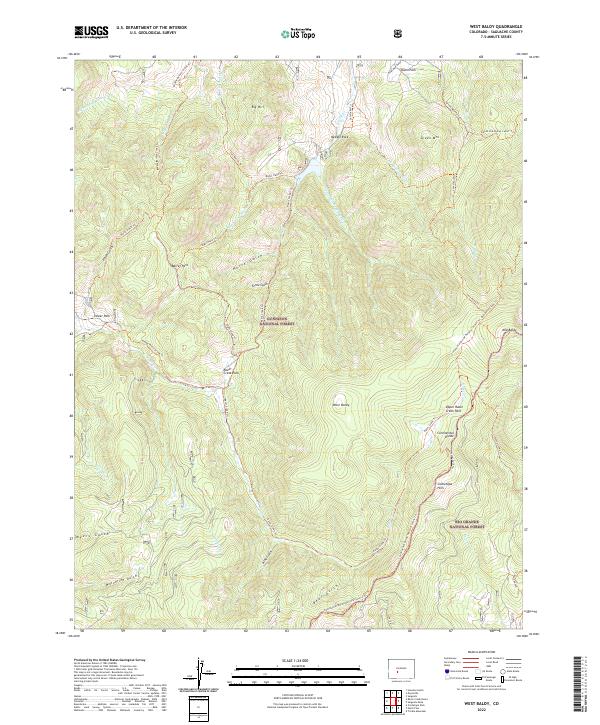
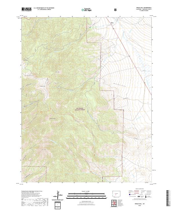
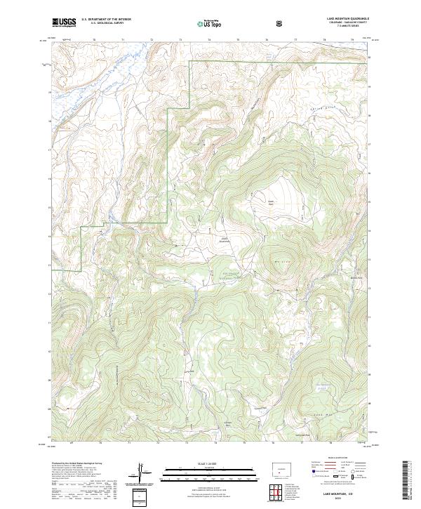
The mountain terrain north of Saguache reveals a history of early industry and habitation through its densely named drainage systems. In the northern reaches, Parkville sits near the headwaters of Kerber Cr, surrounded by a landscape carved by Sawmill Gulch and Manganese Gulch, names that suggest the area's timber and mineral origins. The high country is dominated by the Rio Grande National Forest, where steep ridges like McIntyre Ridge rise toward Saguache Peak.
Find a feature on this map
57 named features on this map. Tap any name to fly to it.
Don’t see what you’re looking for? This feature index may not catch every label — zoom into the map to look around manually.
Map Details
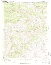
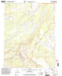
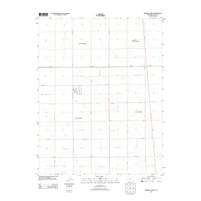
Editions of this 2022 Graveyard Gulch Map
This is the sole edition of this map. No revisions or reprints were ever made.
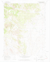
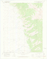
Historical Maps of Parkville Through Time
325 maps found
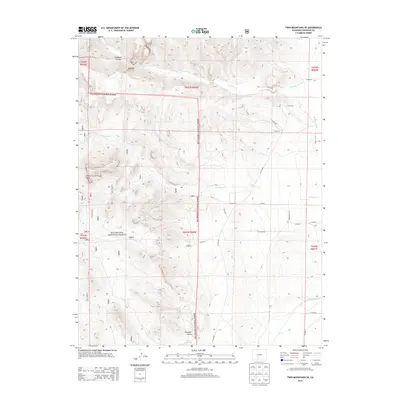
1950 Valley View Hot Springs
Saguache County, CO
1962 Razor Creek Dome
Saguache County, CO
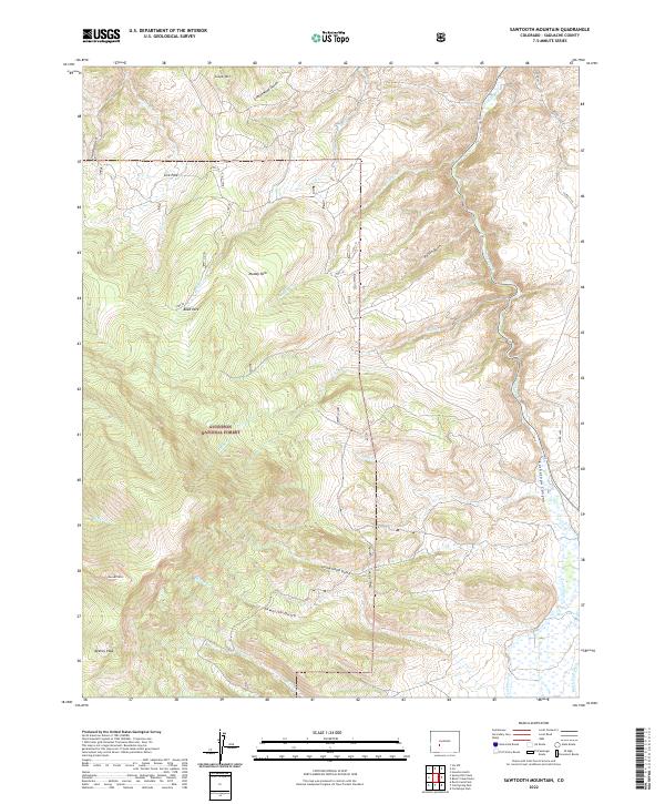
1962 Sawtooth Mountain
Saguache County, CO
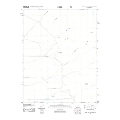
1962 Spring Hill Creek
Saguache County, CO
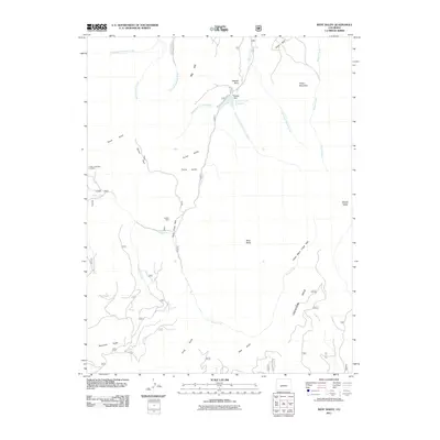
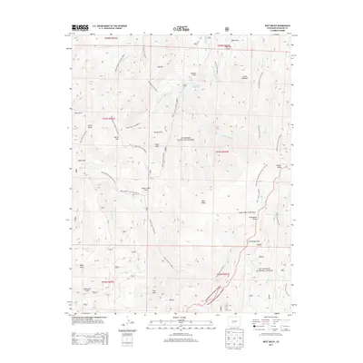
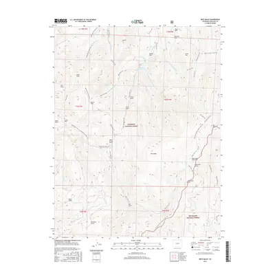
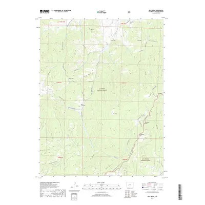
1962 West Baldy
Saguache County, CO
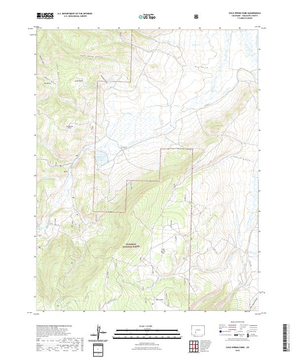
1965 Cold Spring Park
Saguache County, CO
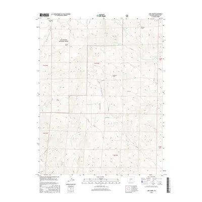
1965 Elk Park
Saguache County, CO
1965 Rock Creek Park
Saguache County, CO
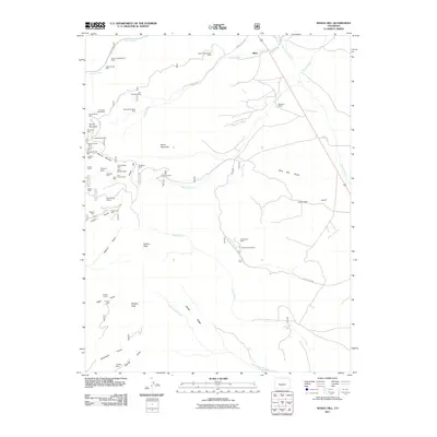
1965 Stewart Peak
Saguache County, CO
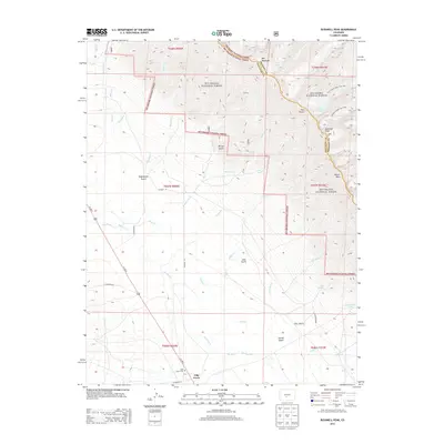
1967 Bowers Peak
Saguache County, CO
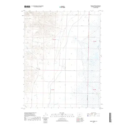
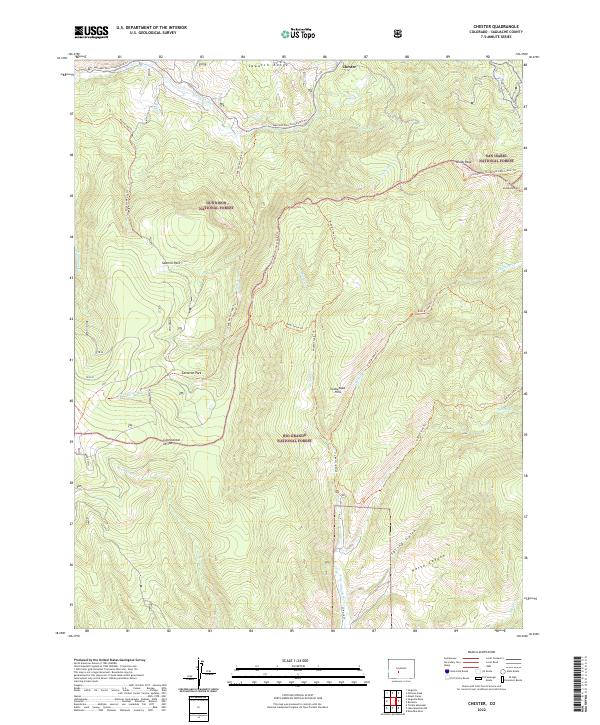
1967 Chester
Saguache County, CO
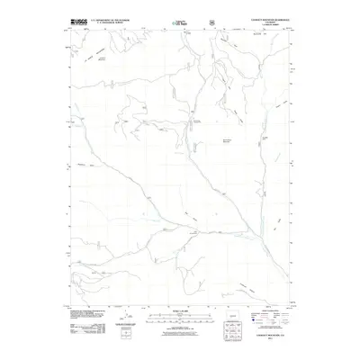
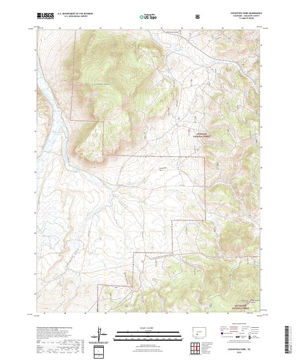
1967 Cochetopa Park
Saguache County, CO
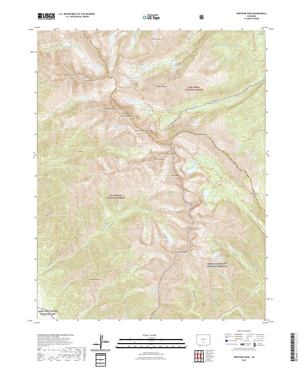
1967 Crestone Peak
Saguache County, CO
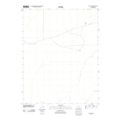
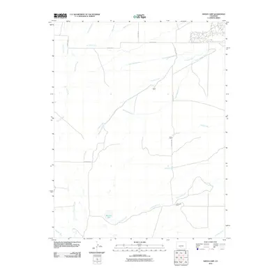
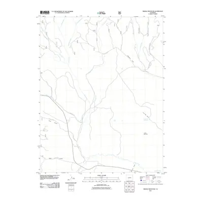
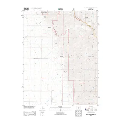
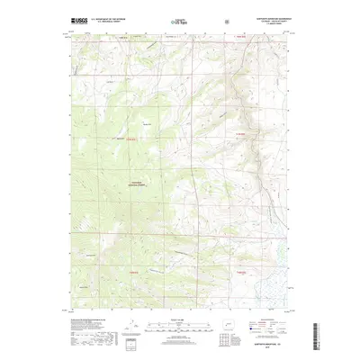
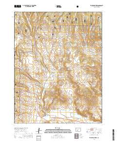
1967 Graveyard Gulch
Saguache County, CO
1967 Grouse Creek
Saguache County, CO
1967 Hickey Bridge
Saguache County, CO
1967 Klondike Mine
Saguache County, CO
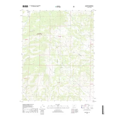
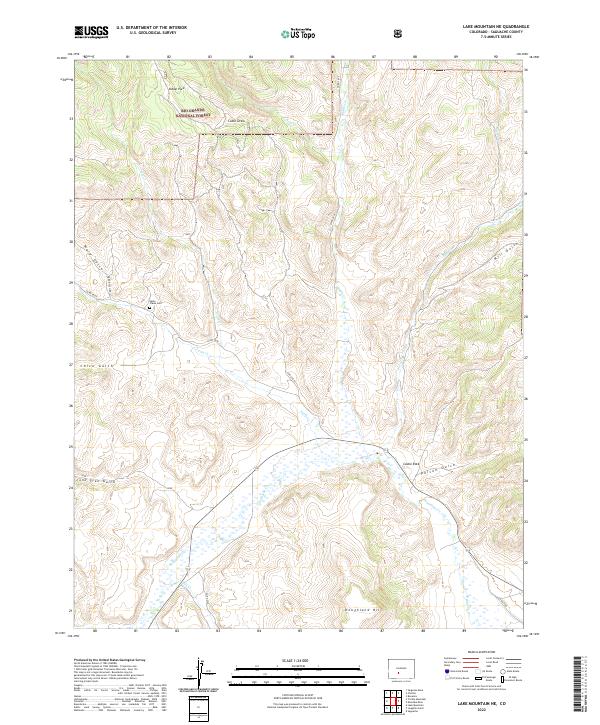
1967 Lake Mountain NE
Saguache County, CO
1967 Lake Mountain
Saguache County, CO
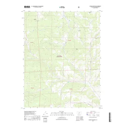
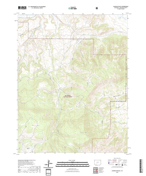
1967 Laughlin Gulch
Saguache County, CO
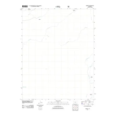
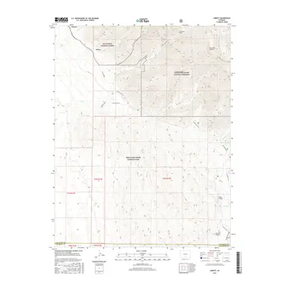
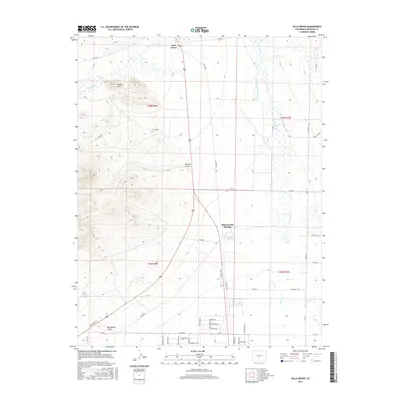
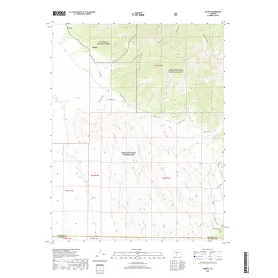
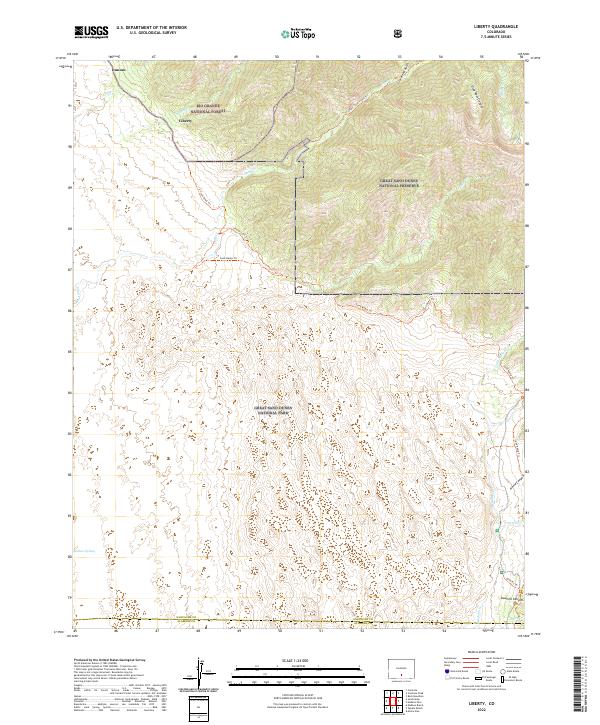
1967 Liberty
Saguache County, CO
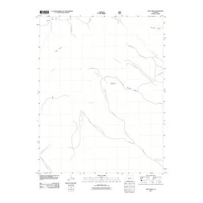
1967 Lime Creek
Saguache County, CO
1967 Lookout Mountain
Saguache County, CO
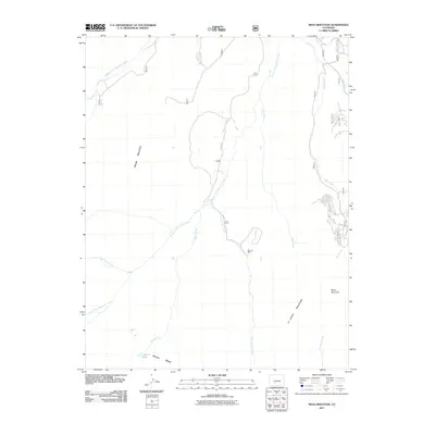
1967 Mesa Mountain
Saguache County, CO
1967 North Pass
Saguache County, CO
1967 Pine Cone Knob
Saguache County, CO
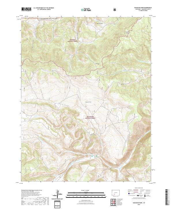
1967 Saguache Park
Saguache County, CO
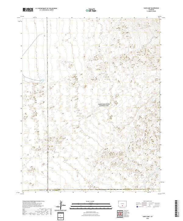
1967 Sand Camp
Saguache County, CO
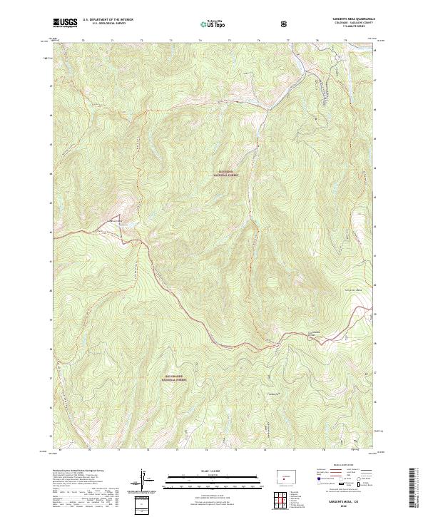
1967 Sargents Mesa
Saguache County, CO
1967 Sheds Camp
Saguache County, CO
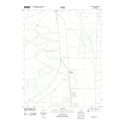
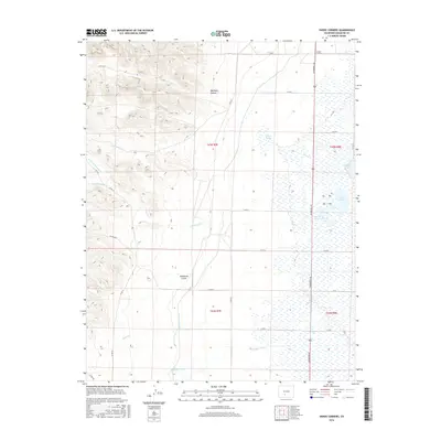
1967 Swede Corners
Saguache County, CO
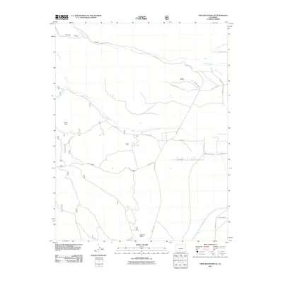
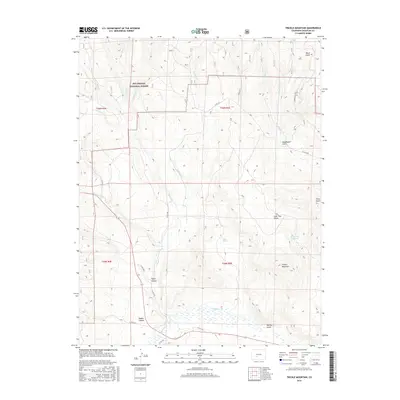
1967 Trickle Mountain
Saguache County, CO
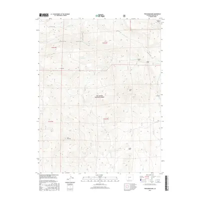
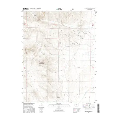
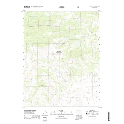
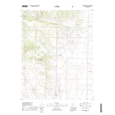
1967 Twin Mountains
Saguache County, CO
1967 Twin Mountains SE
Saguache County, CO
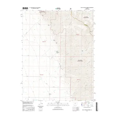
1967 Valley View Hot Springs
Saguache County, CO
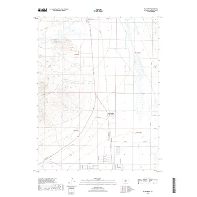
1967 Villa Grove
Saguache County, CO
1968 Center North
Saguache County, CO
1968 Deadman Camp
Saguache County, CO
1968 Deadman Camp Sw
Saguache County, CO
1968 Harrence Lake
Saguache County, CO
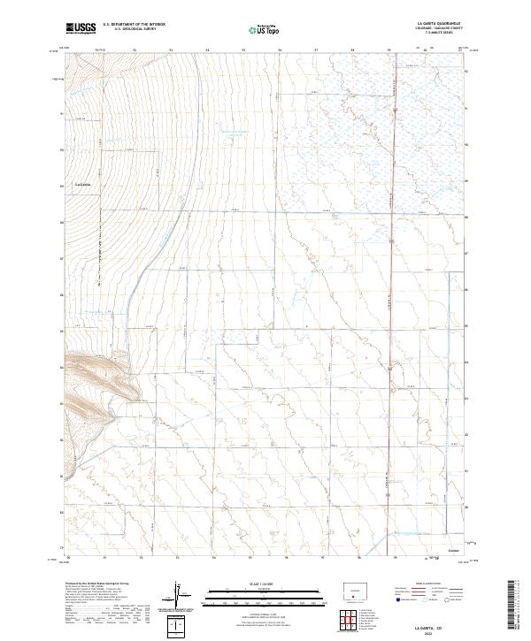
1968 La Garita
Saguache County, CO
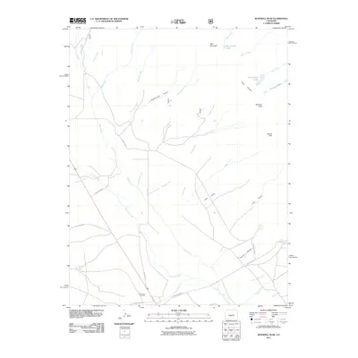
1968 Mirage
Saguache County, CO
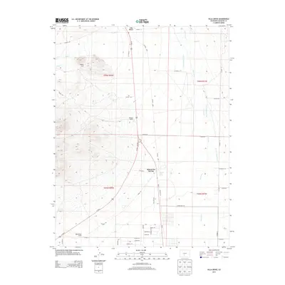
1968 Moffat North
Saguache County, CO
1968 Moffat South
Saguache County, CO
1980 Poncha Pass
Saguache County, CO
1980 Rio Alto Peak
Saguache County, CO
1980 Whale Hill
Saguache County, CO
1981 Bushnell Peak
Saguache County, CO
1986 Halfmoon Pass
Saguache County, CO
1994 Poncha Pass
Saguache County, CO
2001 Bowers Peak
Saguache County, CO
2001 Bushnell Peak
Saguache County, CO
2001 Chester
Saguache County, CO
2001 Cochetopa Park
Saguache County, CO
2001 Cold Spring Park
Saguache County, CO
2001 Crestone Peak
Saguache County, CO
2001 Elk Park
Saguache County, CO
2001 Graveyard Gulch
Saguache County, CO
2001 Grouse Creek
Saguache County, CO
2001 Halfmoon Pass
Saguache County, CO
2001 Klondike Mine
Saguache County, CO
2001 Lake Mountain NE
Saguache County, CO
2001 Lake Mountain
Saguache County, CO
2001 Laughlin Gulch
Saguache County, CO
2001 Liberty
Saguache County, CO
2001 Lime Creek
Saguache County, CO
2001 Lookout Mountain
Saguache County, CO
2001 Mesa Mountain
Saguache County, CO
2001 Mirage
Saguache County, CO
2001 North Pass
Saguache County, CO
2001 Pine Cone Knob
Saguache County, CO
2001 Razor Creek Dome
Saguache County, CO
2001 Rio Alto Peak
Saguache County, CO
2001 Rock Creek Park
Saguache County, CO
2001 Saguache Park
Saguache County, CO
2001 Sargents Mesa
Saguache County, CO
2001 Sawtooth Mountain
Saguache County, CO
2001 Spring Hill Creek
Saguache County, CO
2001 Stewart Peak
Saguache County, CO
2001 Trickle Mountain
Saguache County, CO
2001 Twin Mountains
Saguache County, CO
2001 Twin Mountains SE
Saguache County, CO
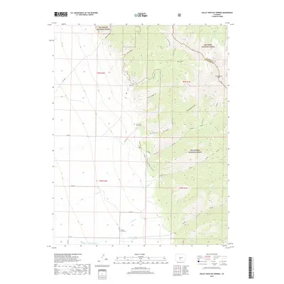
2001 Valley View Hot Springs
Saguache County, CO
2001 West Baldy
Saguache County, CO
2001 Whale Hill
Saguache County, CO
2010 Center North
Saguache County, CO
2010 Deadman Camp
Saguache County, CO
2010 Deadman Camp SW
Saguache County, CO
2010 Harrence Lake
Saguache County, CO
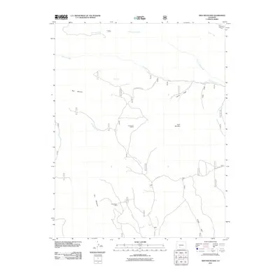
2010 Hickey Bridge
Saguache County, CO
2010 La Garita
Saguache County, CO
2010 Moffat North
Saguache County, CO
2010 Moffat South
Saguache County, CO
2010 Sand Camp
Saguache County, CO
2010 Sheds Camp
Saguache County, CO
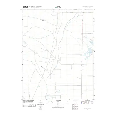
2010 Swede Corners
Saguache County, CO
2010 Villa Grove
Saguache County, CO
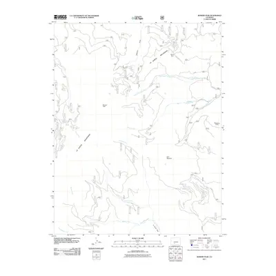
2011 Bowers Peak
Saguache County, CO
2011 Bushnell Peak
Saguache County, CO
2011 Chester
Saguache County, CO
2011 Cochetopa Park
Saguache County, CO
2011 Cold Spring Park
Saguache County, CO
2011 Crestone Peak
Saguache County, CO
2011 Elk Park
Saguache County, CO
2011 Graveyard Gulch
Saguache County, CO
2011 Grouse Creek
Saguache County, CO
2011 Halfmoon Pass
Saguache County, CO
2011 Klondike Mine
Saguache County, CO
2011 Lake Mountain NE
Saguache County, CO
2011 Lake Mountain
Saguache County, CO
2011 Laughlin Gulch
Saguache County, CO
2011 Liberty
Saguache County, CO
2011 Lime Creek
Saguache County, CO
2011 Lookout Mountain
Saguache County, CO
2011 Mesa Mountain
Saguache County, CO
2011 Mirage
Saguache County, CO
2011 North Pass
Saguache County, CO
2011 Pine Cone Knob
Saguache County, CO
2011 Poncha Pass
Saguache County, CO
2011 Razor Creek Dome
Saguache County, CO
2011 Rito Alto Peak
Saguache County, CO
2011 Rock Creek Park
Saguache County, CO
2011 Saguache Park
Saguache County, CO
2011 Sargents Mesa
Saguache County, CO
2011 Sawtooth Mountain
Saguache County, CO
2011 Spring Hill Creek
Saguache County, CO
2011 Stewart Peak
Saguache County, CO
2011 Trickle Mountain
Saguache County, CO
2011 Twin Mountains
Saguache County, CO
2011 Twin Mountains SE
Saguache County, CO
2011 Valley View Hot Springs
Saguache County, CO
2011 West Baldy
Saguache County, CO
2011 Whale Hill
Saguache County, CO
2013 Bowers Peak
Saguache County, CO
2013 Bushnell Peak
Saguache County, CO
2013 Center North
Saguache County, CO

2013 Chester
Saguache County, CO
2013 Cochetopa Park
Saguache County, CO
2013 Cold Spring Park
Saguache County, CO
2013 Crestone Peak
Saguache County, CO
2013 Deadman Camp
Saguache County, CO
2013 Deadman Camp SW
Saguache County, CO
2013 Elk Park
Saguache County, CO
2013 Graveyard Gulch
Saguache County, CO
2013 Grouse Creek
Saguache County, CO
2013 Halfmoon Pass
Saguache County, CO
2013 Harrence Lake
Saguache County, CO
2013 Hickey Bridge
Saguache County, CO
2013 Klondike Mine
Saguache County, CO
2013 La Garita
Saguache County, CO
2013 Lake Mountain NE
Saguache County, CO
2013 Lake Mountain
Saguache County, CO
2013 Laughlin Gulch
Saguache County, CO
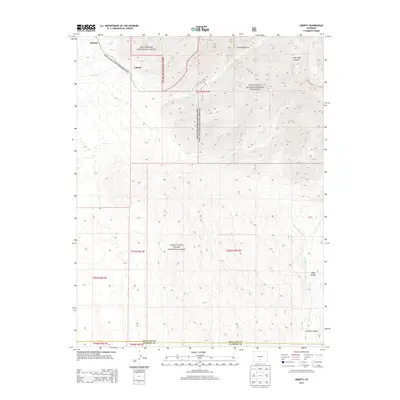
2013 Liberty
Saguache County, CO
2013 Lime Creek
Saguache County, CO
2013 Lookout Mountain
Saguache County, CO
2013 Mesa Mountain
Saguache County, CO
2013 Mirage
Saguache County, CO
2013 Moffat North
Saguache County, CO
2013 Moffat South
Saguache County, CO
2013 North Pass
Saguache County, CO
2013 Pine Cone Knob
Saguache County, CO
2013 Poncha Pass
Saguache County, CO
2013 Razor Creek Dome
Saguache County, CO
2013 Rito Alto Peak
Saguache County, CO
2013 Rock Creek Park
Saguache County, CO
2013 Saguache Park
Saguache County, CO
2013 Sand Camp
Saguache County, CO
2013 Sargents Mesa
Saguache County, CO
2013 Sawtooth Mountain
Saguache County, CO
2013 Sheds Camp
Saguache County, CO
2013 Spring Hill Creek
Saguache County, CO
2013 Stewart Peak
Saguache County, CO
2013 Swede Corners
Saguache County, CO
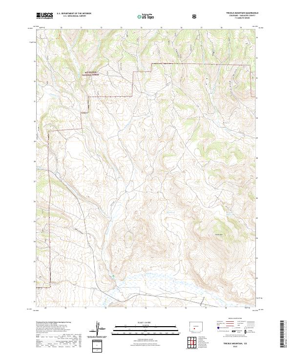
2013 Trickle Mountain
Saguache County, CO
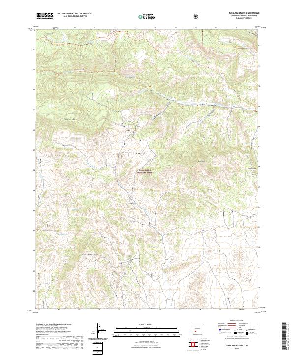
2013 Twin Mountains
Saguache County, CO
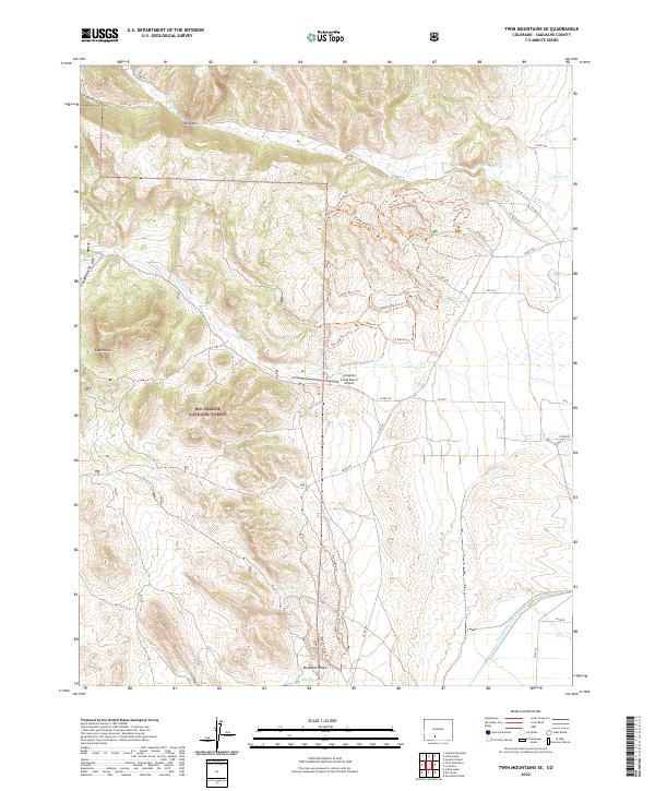
2013 Twin Mountains SE
Saguache County, CO
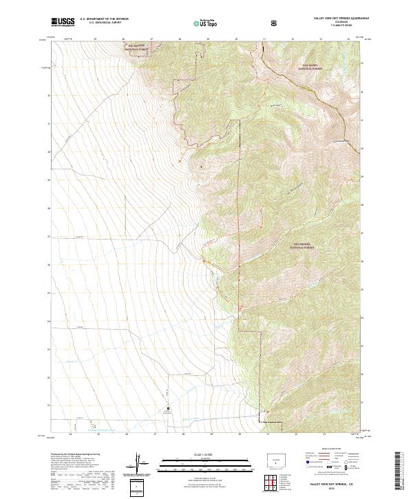
2013 Valley View Hot Springs
Saguache County, CO
2013 Villa Grove
Saguache County, CO
2013 West Baldy
Saguache County, CO
2013 Whale Hill
Saguache County, CO
2016 Bowers Peak
Saguache County, CO
2016 Bushnell Peak
Saguache County, CO
2016 Center North
Saguache County, CO
2016 Chester
Saguache County, CO
2016 Cochetopa Park
Saguache County, CO
2016 Cold Spring Park
Saguache County, CO
2016 Crestone Peak
Saguache County, CO
2016 Deadman Camp
Saguache County, CO
2016 Deadman Camp SW
Saguache County, CO
2016 Elk Park
Saguache County, CO
2016 Graveyard Gulch
Saguache County, CO
2016 Grouse Creek
Saguache County, CO
2016 Halfmoon Pass
Saguache County, CO
2016 Harrence Lake
Saguache County, CO
2016 Hickey Bridge
Saguache County, CO
2016 Klondike Mine
Saguache County, CO
2016 La Garita
Saguache County, CO
2016 Lake Mountain NE
Saguache County, CO
2016 Lake Mountain
Saguache County, CO
2016 Laughlin Gulch
Saguache County, CO
2016 Liberty
Saguache County, CO
2016 Lime Creek
Saguache County, CO
2016 Lookout Mountain
Saguache County, CO
2016 Mesa Mountain
Saguache County, CO
2016 Mirage
Saguache County, CO
2016 Moffat North
Saguache County, CO
2016 Moffat South
Saguache County, CO
2016 North Pass
Saguache County, CO
2016 Pine Cone Knob
Saguache County, CO
2016 Poncha Pass
Saguache County, CO
2016 Razor Creek Dome
Saguache County, CO
2016 Rito Alto Peak
Saguache County, CO
2016 Rock Creek Park
Saguache County, CO
2016 Saguache Park
Saguache County, CO
2016 Sand Camp
Saguache County, CO
2016 Sargents Mesa
Saguache County, CO
2016 Sawtooth Mountain
Saguache County, CO
2016 Sheds Camp
Saguache County, CO
2016 Spring Hill Creek
Saguache County, CO
2016 Stewart Peak
Saguache County, CO
2016 Swede Corners
Saguache County, CO
2016 Trickle Mountain
Saguache County, CO
2016 Twin Mountains
Saguache County, CO
2016 Twin Mountains SE
Saguache County, CO
2016 Valley View Hot Springs
Saguache County, CO
2016 Villa Grove
Saguache County, CO
2016 West Baldy
Saguache County, CO
2016 Whale Hill
Saguache County, CO
2019 Bowers Peak
Saguache County, CO
2019 Bushnell Peak
Saguache County, CO
2019 Center North
Saguache County, CO
2019 Chester
Saguache County, CO
2019 Cochetopa Park
Saguache County, CO
2019 Cold Spring Park
Saguache County, CO
2019 Crestone Peak
Saguache County, CO
2019 Deadman Camp
Saguache County, CO
2019 Deadman Camp SW
Saguache County, CO
2019 Elk Park
Saguache County, CO
2019 Graveyard Gulch
Saguache County, CO
2019 Grouse Creek
Saguache County, CO
2019 Halfmoon Pass
Saguache County, CO
2019 Harrence Lake
Saguache County, CO
2019 Hickey Bridge
Saguache County, CO
2019 Klondike Mine
Saguache County, CO
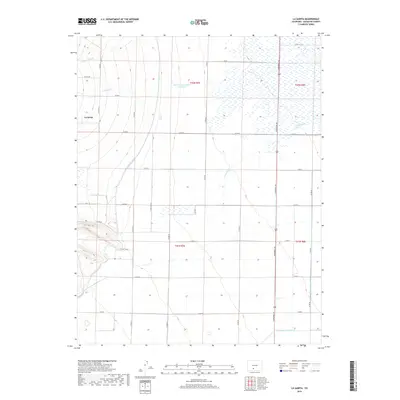
2019 La Garita
Saguache County, CO
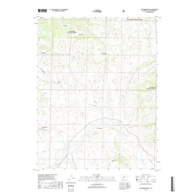
2019 Lake Mountain NE
Saguache County, CO
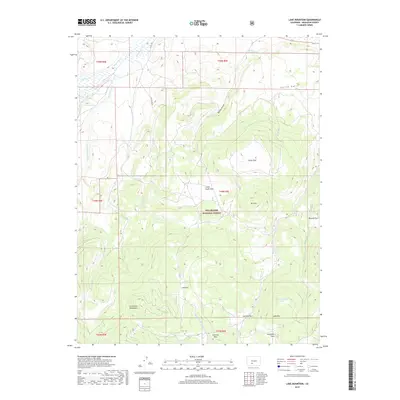
2019 Lake Mountain
Saguache County, CO
2019 Laughlin Gulch
Saguache County, CO
2019 Liberty
Saguache County, CO
2019 Lime Creek
Saguache County, CO
2019 Lookout Mountain
Saguache County, CO
2019 Mesa Mountain
Saguache County, CO
2019 Mirage
Saguache County, CO
2019 Moffat North
Saguache County, CO
2019 Moffat South
Saguache County, CO
2019 North Pass
Saguache County, CO
2019 Pine Cone Knob
Saguache County, CO
2019 Poncha Pass
Saguache County, CO
2019 Razor Creek Dome
Saguache County, CO
2019 Rito Alto Peak
Saguache County, CO
2019 Rock Creek Park
Saguache County, CO
2019 Saguache Park
Saguache County, CO
2019 Sand Camp
Saguache County, CO
2019 Sargents Mesa
Saguache County, CO
2019 Sawtooth Mountain
Saguache County, CO
2019 Sheds Camp
Saguache County, CO
2019 Spring Hill Creek
Saguache County, CO
2019 Stewart Peak
Saguache County, CO
2019 Swede Corners
Saguache County, CO
2019 Trickle Mountain
Saguache County, CO
2019 Twin Mountains
Saguache County, CO
2019 Twin Mountains SE
Saguache County, CO
2019 Valley View Hot Springs
Saguache County, CO
2019 Villa Grove
Saguache County, CO
2019 West Baldy
Saguache County, CO
2019 Whale Hill
Saguache County, CO
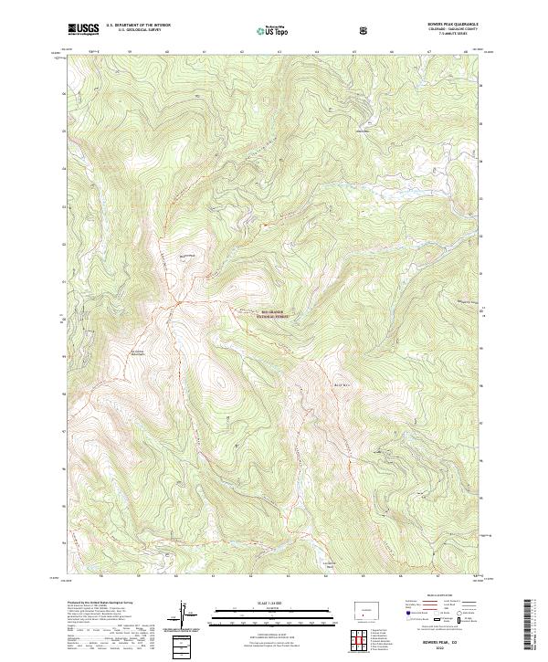
2022 Bowers Peak
Saguache County, CO
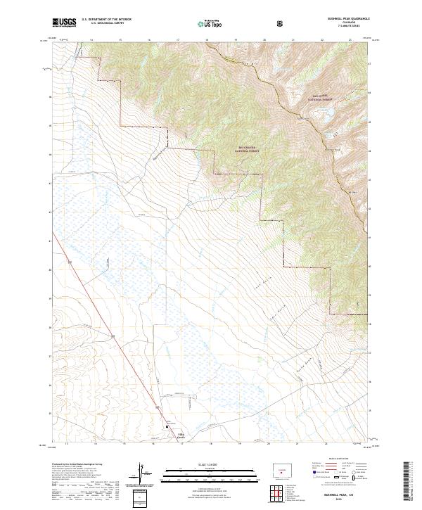
2022 Bushnell Peak
Saguache County, CO
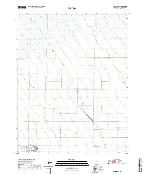
2022 Center North
Saguache County, CO
2022 Chester
Saguache County, CO
2022 Cochetopa Park
Saguache County, CO
2022 Cold Spring Park
Saguache County, CO
2022 Crestone Peak
Saguache County, CO
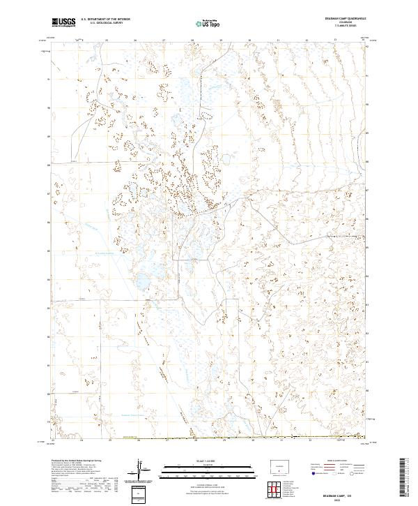
2022 Deadman Camp
Saguache County, CO
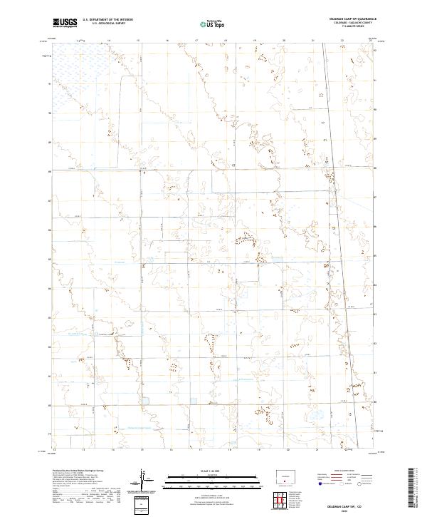
2022 Deadman Camp SW
Saguache County, CO
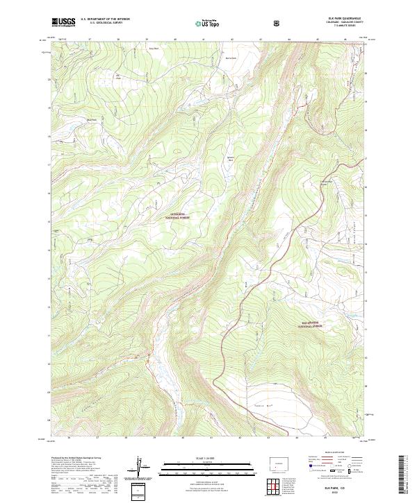
2022 Elk Park
Saguache County, CO
2022 Graveyard Gulch
Saguache County, CO
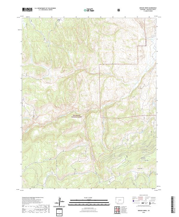
2022 Grouse Creek
Saguache County, CO
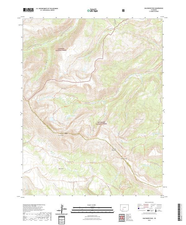
2022 Halfmoon Pass
Saguache County, CO
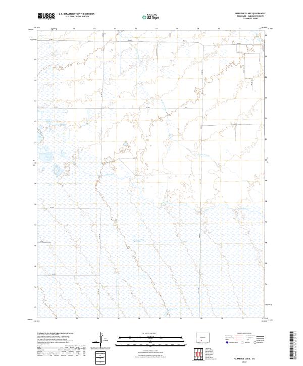
2022 Harrence Lake
Saguache County, CO
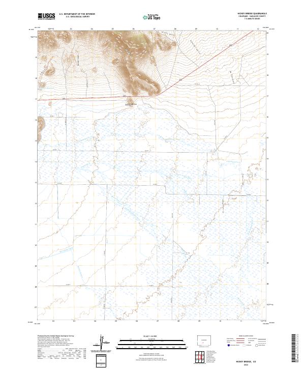
2022 Hickey Bridge
Saguache County, CO
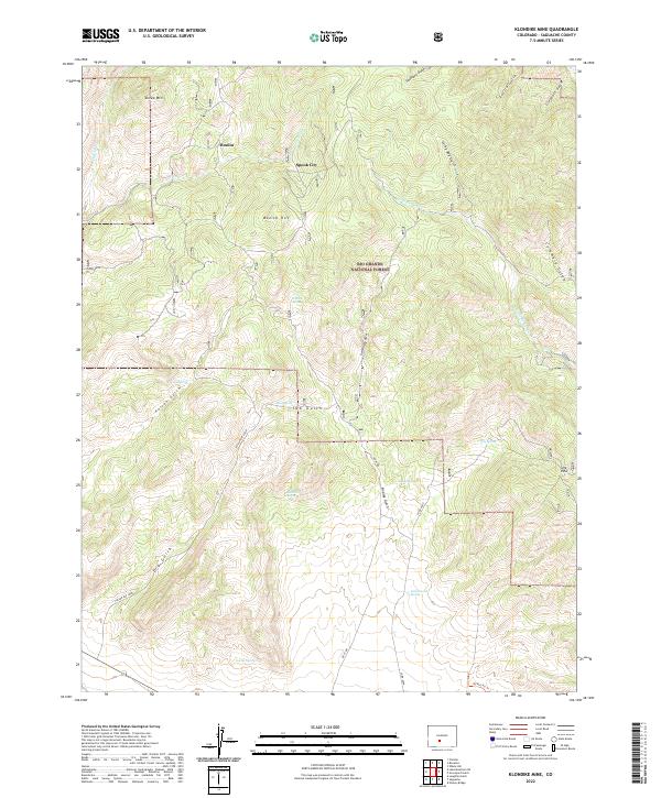
2022 Klondike Mine
Saguache County, CO
2022 La Garita
Saguache County, CO
2022 Lake Mountain NE
Saguache County, CO
2022 Laughlin Gulch
Saguache County, CO
2022 Liberty
Saguache County, CO
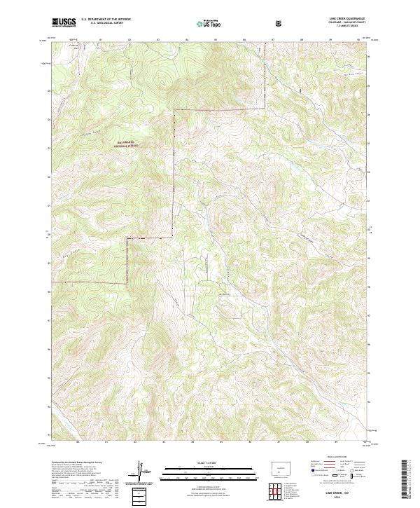
2022 Lime Creek
Saguache County, CO
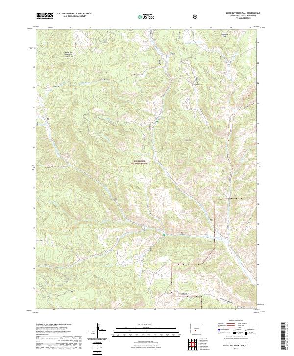
2022 Lookout Mountain
Saguache County, CO
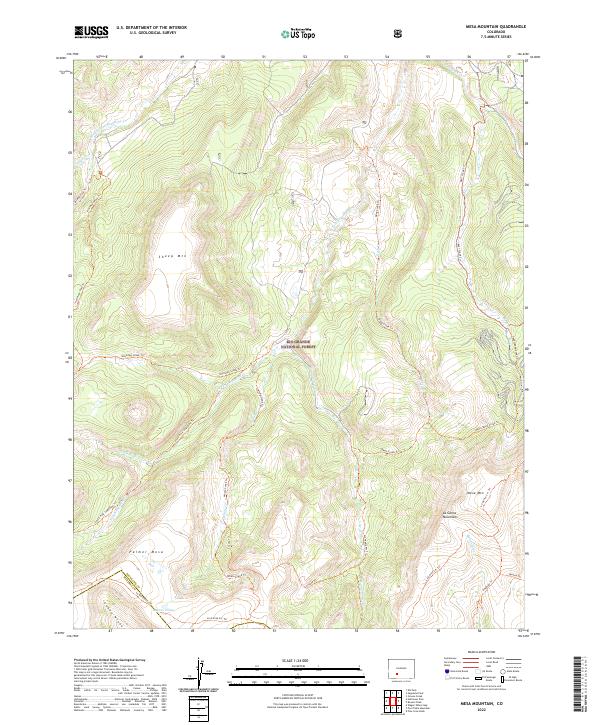
2022 Mesa Mountain
Saguache County, CO
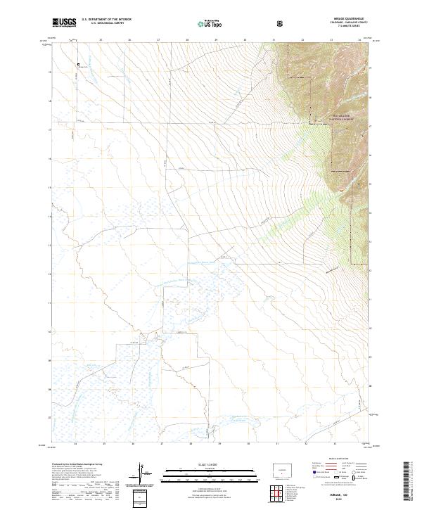
2022 Mirage
Saguache County, CO
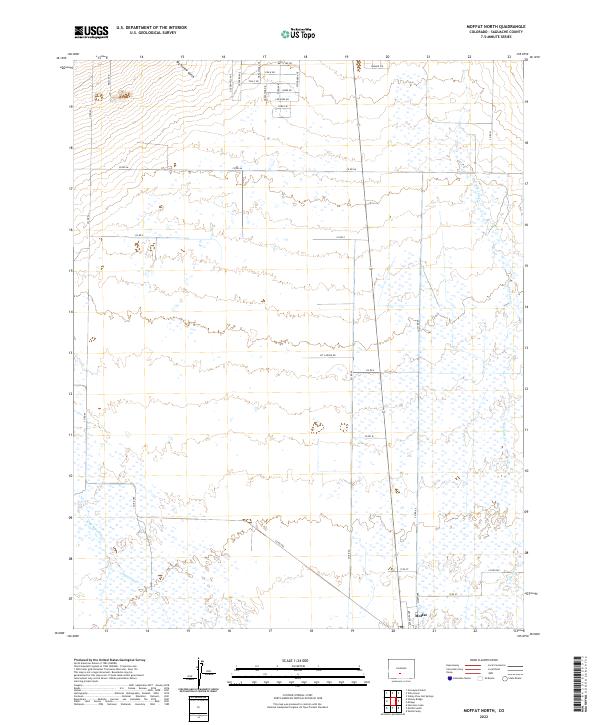
2022 Moffat North
Saguache County, CO
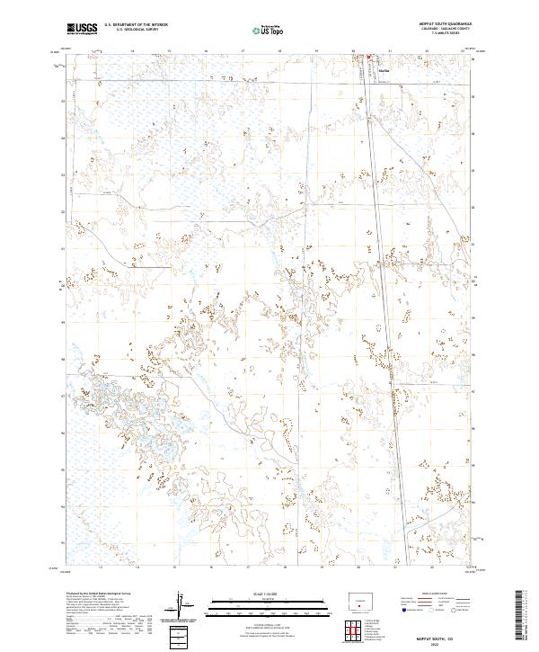
2022 Moffat South
Saguache County, CO
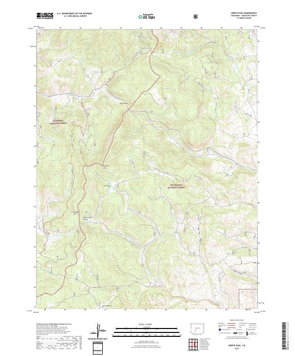
2022 North Pass
Saguache County, CO
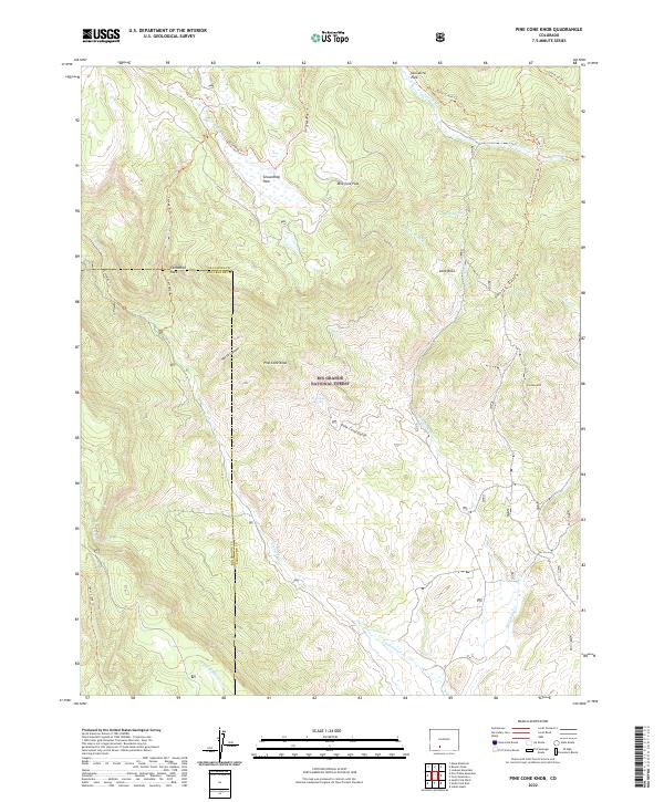
2022 Pine Cone Knob
Saguache County, CO
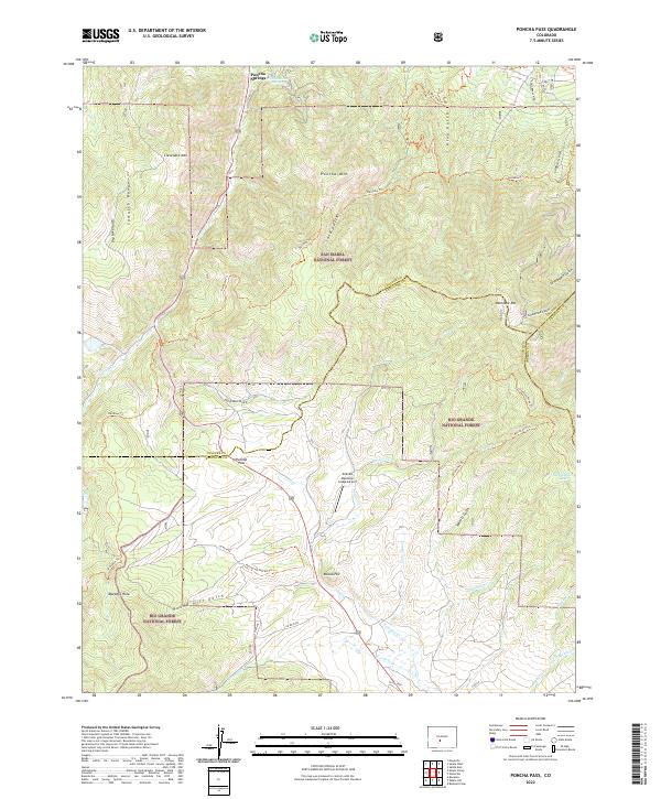
2022 Poncha Pass
Saguache County, CO
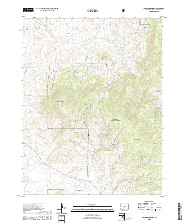
2022 Razor Creek Dome
Saguache County, CO
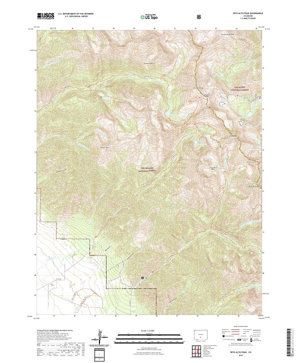
2022 Rito Alto Peak
Saguache County, CO
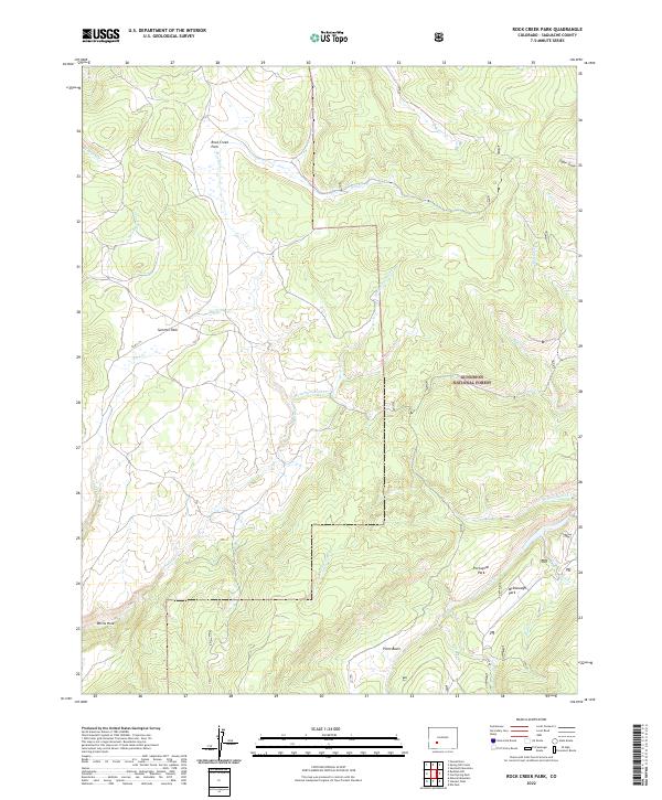
2022 Rock Creek Park
Saguache County, CO
2022 Saguache Park
Saguache County, CO
2022 Sand Camp
Saguache County, CO
2022 Sargents Mesa
Saguache County, CO
2022 Sawtooth Mountain
Saguache County, CO
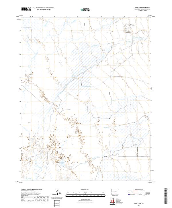
2022 Sheds Camp
Saguache County, CO
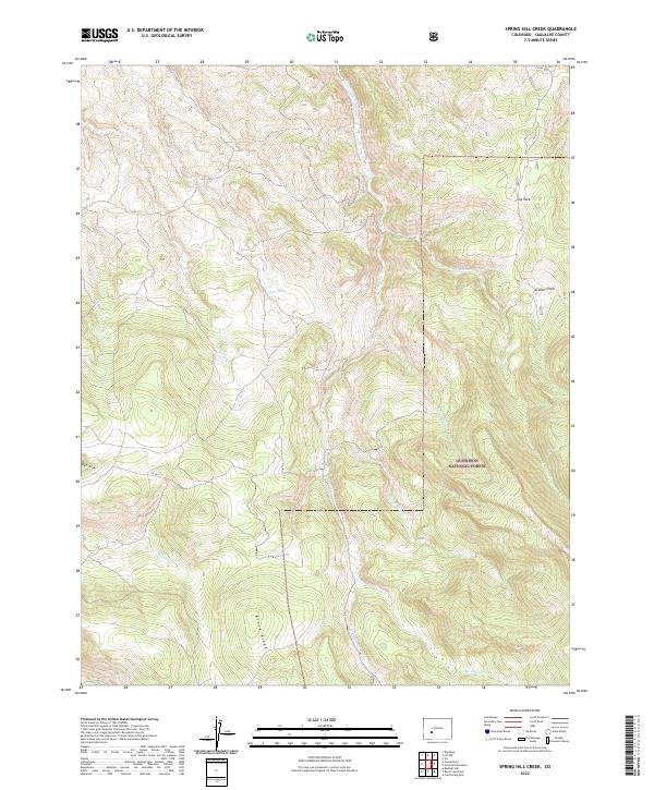
2022 Spring Hill Creek
Saguache County, CO
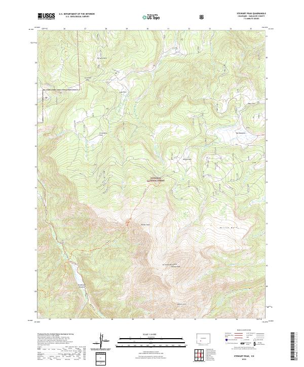
2022 Stewart Peak
Saguache County, CO
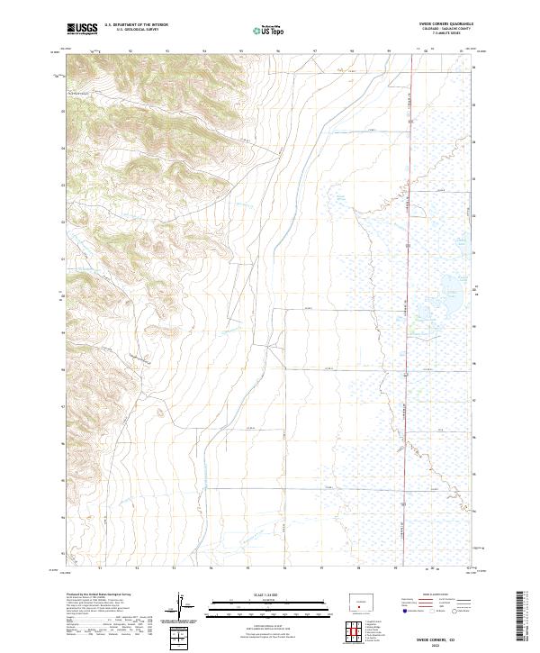
2022 Swede Corners
Saguache County, CO
2022 Trickle Mountain
Saguache County, CO
2022 Twin Mountains
Saguache County, CO
2022 Twin Mountains SE
Saguache County, CO
2022 Valley View Hot Springs
Saguache County, CO
2022 Villa Grove
Saguache County, CO
2022 West Baldy
Saguache County, CO
2022 Whale Hill
Saguache County, CO
2023 Lake Mountain
Saguache County, CO