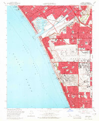
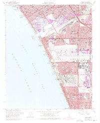
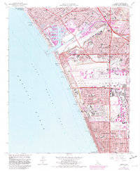
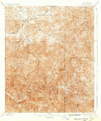
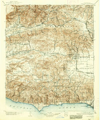
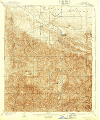
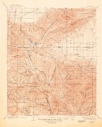
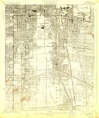
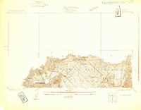
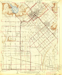
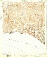
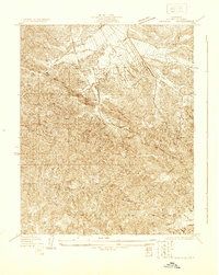
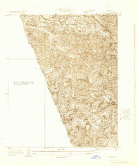
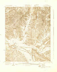
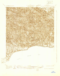
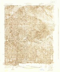
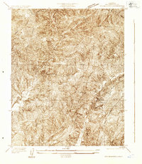
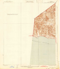
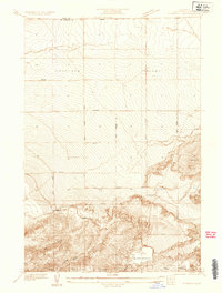
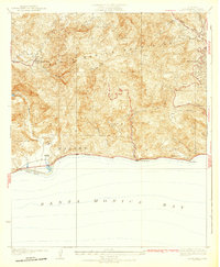
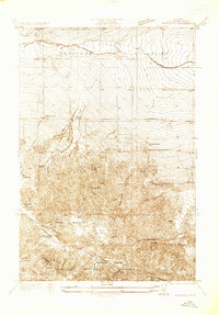
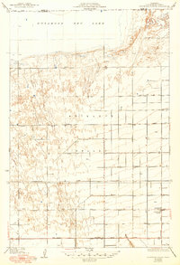
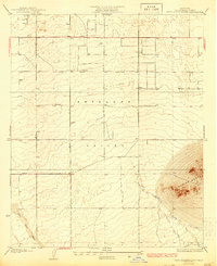
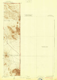
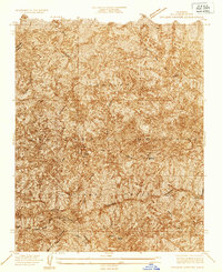
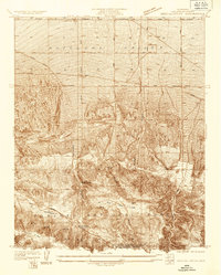
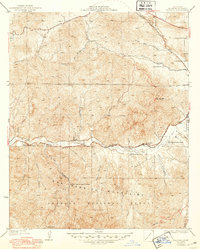
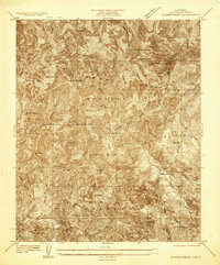
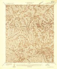
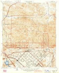
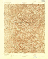
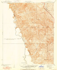
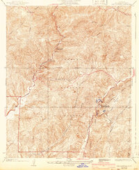
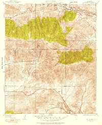
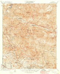
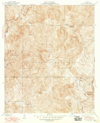
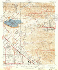
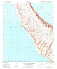
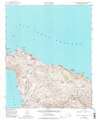
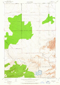
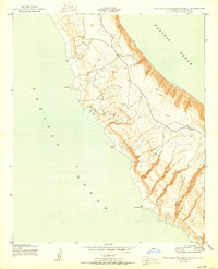
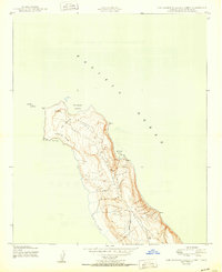
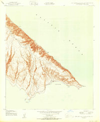
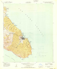
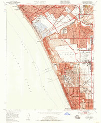
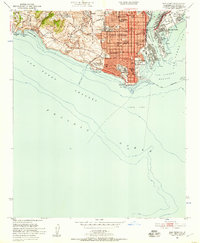
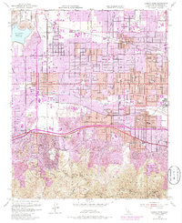
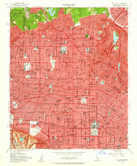
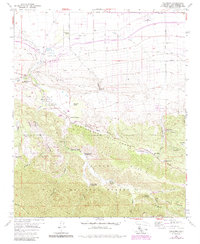
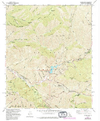
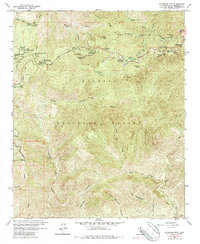
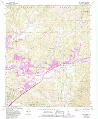
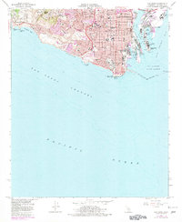
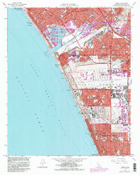
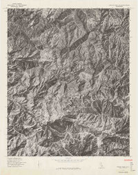
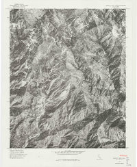
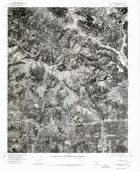
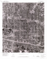
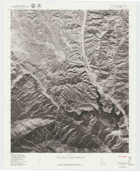
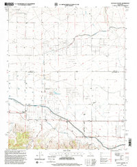
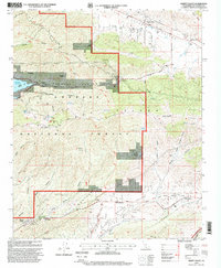
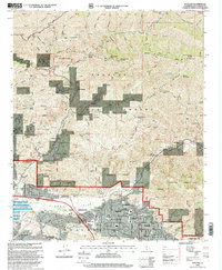
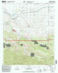
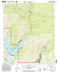
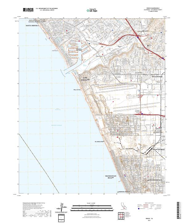
1964 Map of Venice
USGS Topo · Published 1965About this map
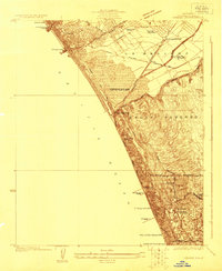
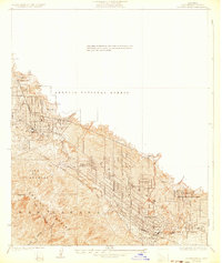
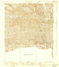
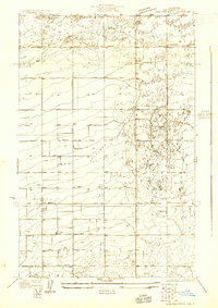
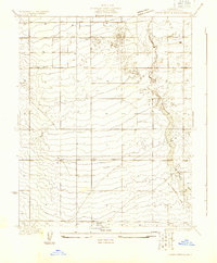
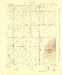
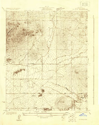
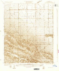
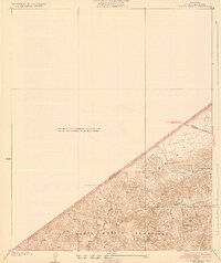
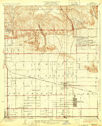
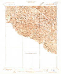
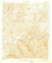
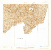
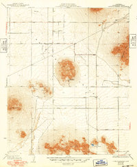
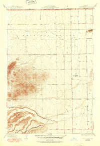
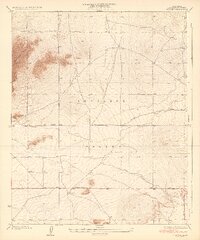
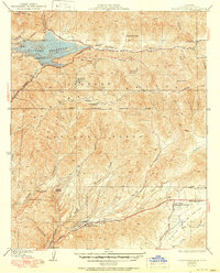
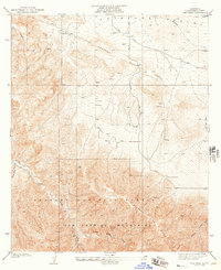
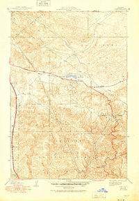
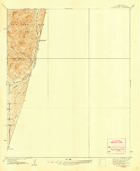
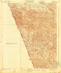
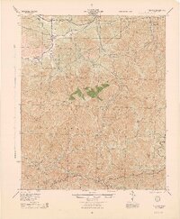
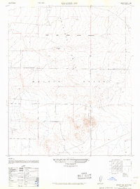
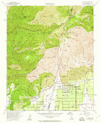
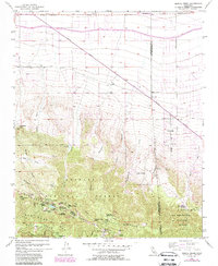
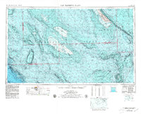
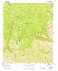
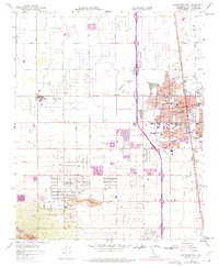
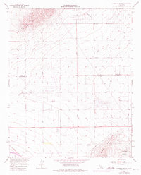
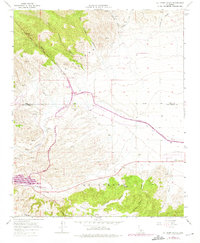
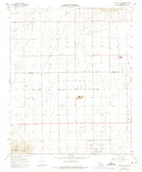
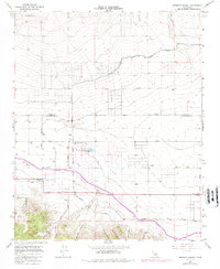
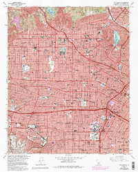
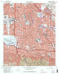
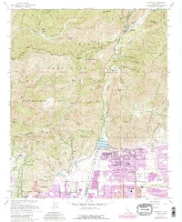
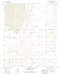
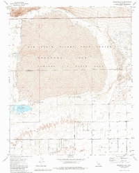
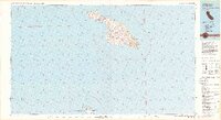
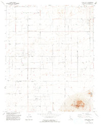
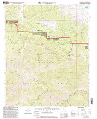
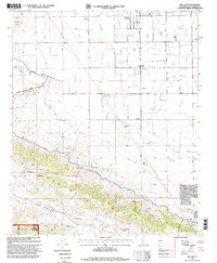
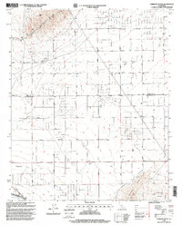
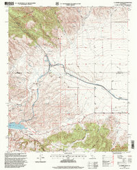
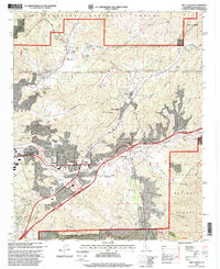
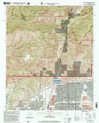
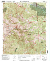
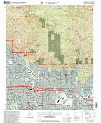
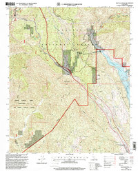
Marina del Rey and its series of numbered basins anchor this mid-1960s coastal landscape, showcasing the rapid post-war transformation of the Los Angeles shoreline. The map captures the massive footprint of Los Angeles International Airport (LAX) just north of the Sausal Redondo boundary, surrounded by booming residential developments like Westchester and El Segundo. Higher education and spiritual life are represented by Loyola University and several parochial schools, such as St Bernard High Sch, while the industrial character of the era is evident in the numerous Oil Wells and Oil Reservoirs scattered near Manhattan Beach. Inland, the historic Aguaje de la Centinela land grant remains as a named boundary, contrasting with the modern path of the San Diego Freeway and the Atchison Topeka and Santa Fe railroad corridor. This survey documents the intersection of California’s historic ranchos with the infrastructure of the jet age.
Find a feature on this map
84 named features on this map. Tap any name to fly to it.
Don’t see what you’re looking for? This feature index may not catch every label — zoom into the map to look around manually.
Map Details
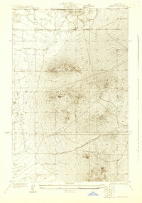
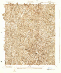
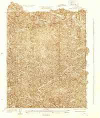
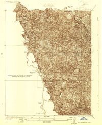
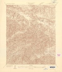
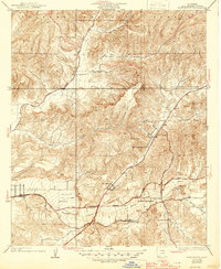
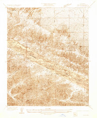
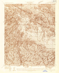
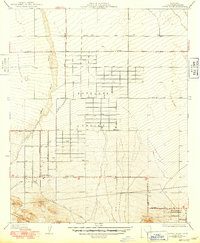
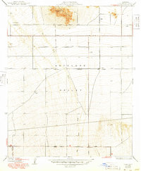
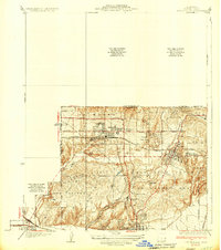
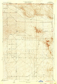
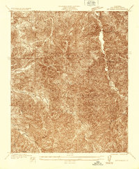
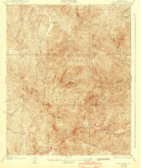
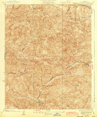
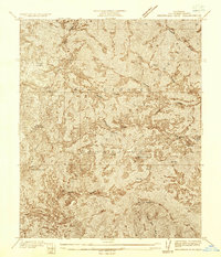
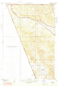
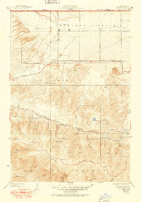
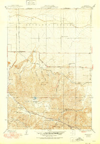
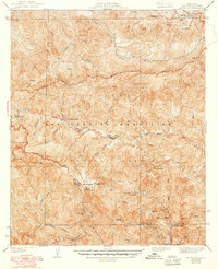
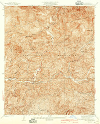
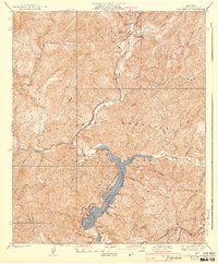
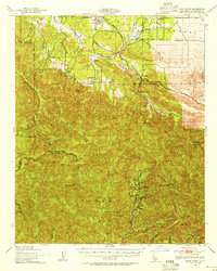
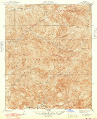
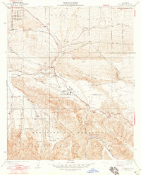
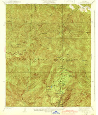
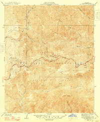
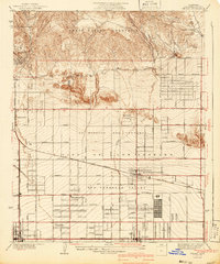
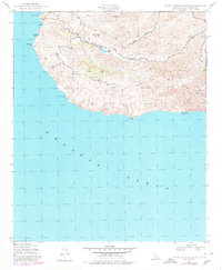
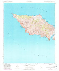
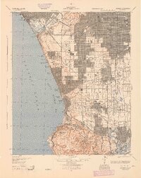
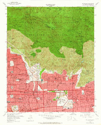
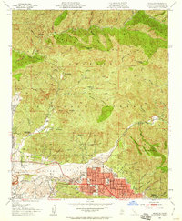
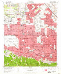
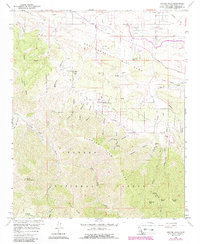
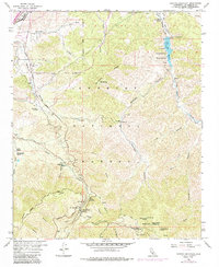
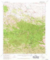
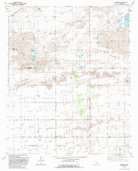
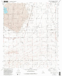
Editions of this 1964 Venice Map
4 editions found
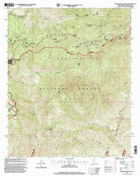
Historical Maps of Hill Section Through Time
357 maps found
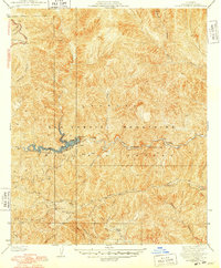
1896 Redondo
Los Angeles County, CA
1900 Tujunga
Los Angeles County, CA
1903 Camulos
Los Angeles County, CA
1903 Rock Creek
Los Angeles County, CA
1903 Tejon
Los Angeles County, CA
1923 Venice
Los Angeles County, CA
1923 Watts
Los Angeles County, CA

1923 Wilmington
Los Angeles County, CA
1924 Van Nuys
Los Angeles County, CA
1924 Venice
Los Angeles County, CA
1924 Watts
Los Angeles County, CA
1925 Clearwater
Los Angeles County, CA
1925 San Pedro Hills
Los Angeles County, CA
1925 Sawtelle
Los Angeles County, CA
1925 Sylmar
Los Angeles County, CA
1925 Wilmington
Los Angeles County, CA
1926 Sunland
Los Angeles County, CA
1926 Van Nuys
Los Angeles County, CA
1927 Pacoima
Los Angeles County, CA
1927 Puente
Los Angeles County, CA
1928 Dry Canyon
Los Angeles County, CA
1928 La Brea
Los Angeles County, CA
1928 La Crescenta
Los Angeles County, CA
1928 Reseda
Los Angeles County, CA
1928 San Pedro Hills
Los Angeles County, CA
1928 Sylmar
Los Angeles County, CA
1928 Topanga Canyon
Los Angeles County, CA

1928 Zelzah
Los Angeles County, CA
1929 Dry Canyon
Los Angeles County, CA
1929 Dume Point
Los Angeles County, CA
1929 Lang
Los Angeles County, CA
1929 Newhall
Los Angeles County, CA
1929 Pico
Los Angeles County, CA
1929 Saugus
Los Angeles County, CA
1929 Solstice Canyon
Los Angeles County, CA
1929 Sylmar
Los Angeles County, CA
1929 Vejor
Los Angeles County, CA
1929 Zelzah
Los Angeles County, CA
1930 Black Butte
Los Angeles County, CA
1930 Casa Desierta
Los Angeles County, CA
1930 Joshua
Los Angeles County, CA
1930 Little Rock
Los Angeles County, CA
1930 Llano
Los Angeles County, CA
1930 Lovejoy Springs
Los Angeles County, CA

1930 Oban
Los Angeles County, CA
1930 Pearland
Los Angeles County, CA
1930 Ravenna
Los Angeles County, CA
1930 Roosevelt School
Los Angeles County, CA
1930 Tierra Bonita
Los Angeles County, CA
1930 West Alpine Butte
Los Angeles County, CA
1930 Wilsona
Los Angeles County, CA
1931 Adobe
Los Angeles County, CA
1931 Del Sur
Los Angeles County, CA
1931 Esperanza School
Los Angeles County, CA
1931 Hi Vista
Los Angeles County, CA
1931 Little Buttes
Los Angeles County, CA
1931 Red Mountain
Los Angeles County, CA
1931 Redrock Mtn
Los Angeles County, CA
1931 Warm Spring
Los Angeles County, CA
1931 Whitaker Peak
Los Angeles County, CA
1932 Arroyo Sequit
Los Angeles County, CA
1932 Beartrap Canyon
Los Angeles County, CA
1932 Dry Canyon
Los Angeles County, CA
1932 Dume Point
Los Angeles County, CA
1932 Fairmont
Los Angeles County, CA
1932 Hughes Lake
Los Angeles County, CA
1932 Humphreys
Los Angeles County, CA
1932 Lake
Los Angeles County, CA
1932 Las Flores
Los Angeles County, CA
1932 Mint Canyon
Los Angeles County, CA
1932 Neenach
Los Angeles County, CA
1932 Red Rover
Los Angeles County, CA
1932 Russell Valley
Los Angeles County, CA
1932 Seminole
Los Angeles County, CA
1932 Solstice Canyon
Los Angeles County, CA
1932 Sunland
Los Angeles County, CA
1932 Zelzah
Los Angeles County, CA
1933 Black Butte
Los Angeles County, CA
1933 Casa Desierta
Los Angeles County, CA
1933 Gorman
Los Angeles County, CA
1933 La Crescenta
Los Angeles County, CA
1933 Lang
Los Angeles County, CA
1933 La Verne and Evey Canyon
Los Angeles County, CA
1933 Lovejoy Springs
Los Angeles County, CA
1933 Manzana
Los Angeles County, CA
1933 Newhall
Los Angeles County, CA
1933 Oban
Los Angeles County, CA
1933 Quail
Los Angeles County, CA
1933 Roosevelt School
Los Angeles County, CA
1933 Saugus
Los Angeles County, CA
1933 Sunland
Los Angeles County, CA
1933 Tierra Bonita
Los Angeles County, CA
1933 West Alpine Butte
Los Angeles County, CA
1934 Adobe
Los Angeles County, CA
1934 Camp Bonita
Los Angeles County, CA
1934 Camp Rincon
Los Angeles County, CA
1934 Chileno Canyon
Los Angeles County, CA
1934 Cima Mesa
Los Angeles County, CA
1934 Esperanza School
Los Angeles County, CA
1934 Joshua
Los Angeles County, CA
1934 Little Buttes
Los Angeles County, CA
1934 Little Rock
Los Angeles County, CA
1934 Little Tujunga
Los Angeles County, CA
1934 Llano
Los Angeles County, CA
1934 Mescal Creek
Los Angeles County, CA
1934 Mt. Lowe
Los Angeles County, CA
1934 Mt. Wilson
Los Angeles County, CA
1934 Pearland
Los Angeles County, CA
1934 Ravenna
Los Angeles County, CA
1934 Sawtelle
Los Angeles County, CA
1934 Valyermo
Los Angeles County, CA
1934 Venice
Los Angeles County, CA
1935 Alder Creek
Los Angeles County, CA
1935 Coyote Hills
Los Angeles County, CA
1935 Hi Vista
Los Angeles County, CA
1935 Mt. Emma
Los Angeles County, CA
1935 Mt. Gleason
Los Angeles County, CA
1935 Sylmar
Los Angeles County, CA
1935 Trail Canyon
Los Angeles County, CA
1935 Whitaker Peak
Los Angeles County, CA
1935 Wilsona
Los Angeles County, CA
1936 Crystal Lake
Los Angeles County, CA
1936 Del Sur
Los Angeles County, CA
1936 Mt. Baden-Powell
Los Angeles County, CA
1936 Red Mountain
Los Angeles County, CA
1936 Redrock Mountain
Los Angeles County, CA
1936 Warm Spring
Los Angeles County, CA
1936 Waterman Mtn
Los Angeles County, CA
1937 Bouquet Reservoir
Los Angeles County, CA
1937 Fairmont
Los Angeles County, CA
1937 Hughes Lake
Los Angeles County, CA
1937 Lake
Los Angeles County, CA
1937 Red Rover
Los Angeles County, CA
1937 Violin Canyon
Los Angeles County, CA
1937 Watts
Los Angeles County, CA
1938 Beartrap Canyon
Los Angeles County, CA
1938 Cima Mesa
Los Angeles County, CA
1938 Gorman
Los Angeles County, CA
1938 Liebre
Los Angeles County, CA
1938 Manzana
Los Angeles County, CA
1938 Quail
Los Angeles County, CA
1939 Cima Mesa
Los Angeles County, CA
1939 La Crescenta
Los Angeles County, CA
1939 Little Tujunga
Los Angeles County, CA
1939 Mt. Lowe
Los Angeles County, CA
1939 Mt. Wilson
Los Angeles County, CA
1940 Camp Bonita
Los Angeles County, CA
1940 Camp Rincon
Los Angeles County, CA
1940 Evey Canyon
Los Angeles County, CA
1940 Mescal Creek
Los Angeles County, CA
1940 Mt. Baden-Powell
Los Angeles County, CA
1940 Mt. Emma
Los Angeles County, CA
1940 Pico
Los Angeles County, CA
1940 Rock Creek
Los Angeles County, CA
1940 Trail Canyon
Los Angeles County, CA
1940 Valyermo
Los Angeles County, CA
1941 Alder Creek
Los Angeles County, CA
1941 Crystal Lake
Los Angeles County, CA
1941 Waterman Mtn
Los Angeles County, CA
1941 Zelzah
Los Angeles County, CA
1942 Chileno Canyon
Los Angeles County, CA
1942 Mt. Gleason
Los Angeles County, CA
1942 San Pedro Hill
Los Angeles County, CA
1942 Sunland
Los Angeles County, CA
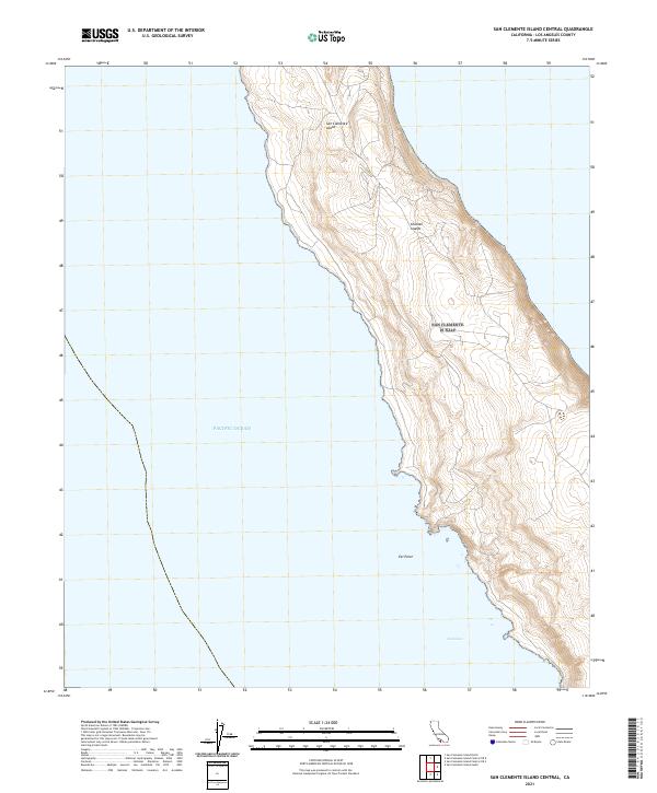
1943 San Clemente Island Central
Los Angeles County, CA
1943 San Clemente Island North
Los Angeles County, CA
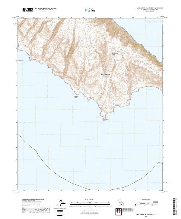
1943 San Clemente Island South
Los Angeles County, CA

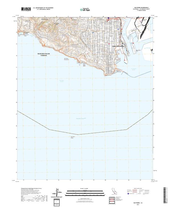
1943 San Pedro
Los Angeles County, CA
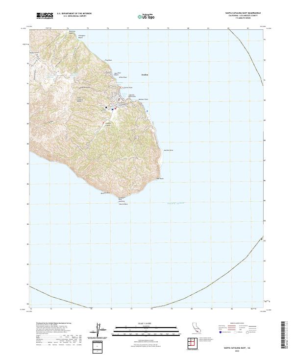
1943 Santa Catalina East
Los Angeles County, CA
1943 Santa Catalina North
Los Angeles County, CA
1943 Santa Catalina South
Los Angeles County, CA
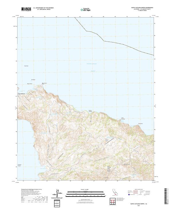
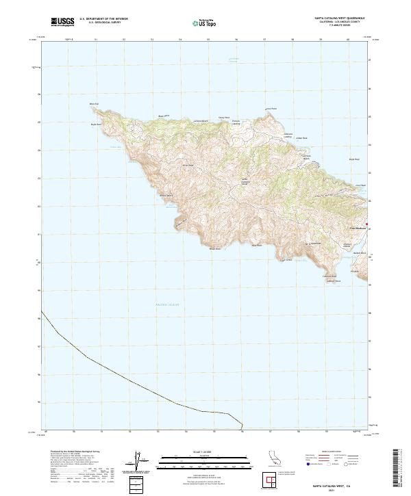
1943 Santa Catalina West
Los Angeles County, CA
1944 Redondo
Los Angeles County, CA
1944 Tujunga
Los Angeles County, CA
1945 Alpine Butte
Los Angeles County, CA
1945 Black Mtn
Los Angeles County, CA
1947 Alpine Butte
Los Angeles County, CA
1947 Kramer SW
Los Angeles County, CA
1947 Mt. Mesa
Los Angeles County, CA
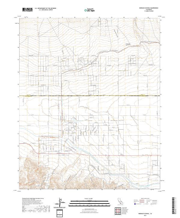
1947 Redman School
Los Angeles County, CA
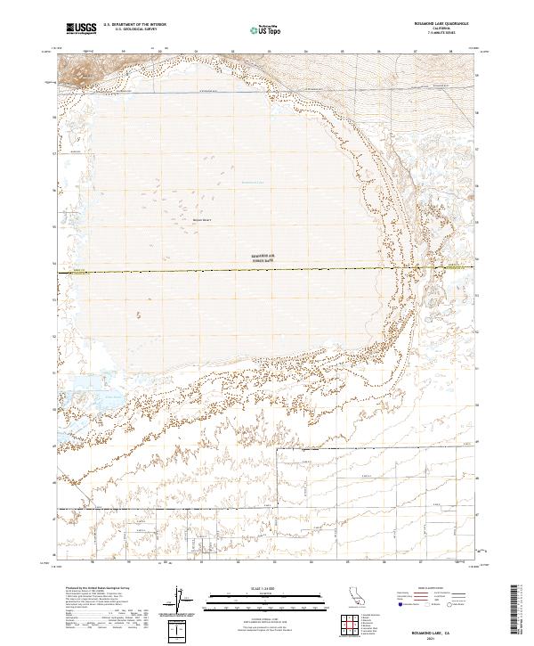
1947 Rosamond Lake
Los Angeles County, CA
1950 Fairmont
Los Angeles County, CA
1950 Malibu Beach
Los Angeles County, CA
1950 Manzana
Los Angeles County, CA
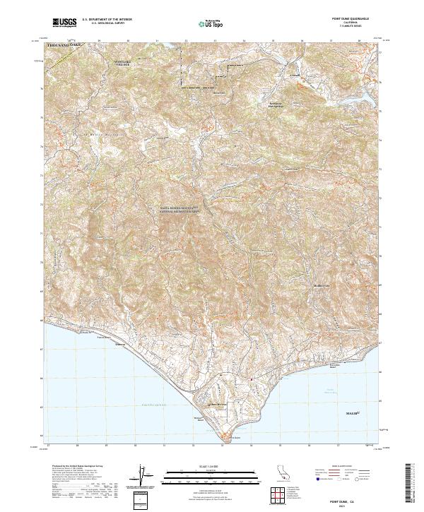
1950 Point Dume
Los Angeles County, CA
1950 San Clemente Island Central
Los Angeles County, CA
1950 San Clemente Island North
Los Angeles County, CA
1950 San Clemente Island South
Los Angeles County, CA
1950 Santa Catalina East
Los Angeles County, CA
1950 Santa Catalina North
Los Angeles County, CA
1950 Santa Catalina South
Los Angeles County, CA
1950 Santa Catalina West
Los Angeles County, CA
1950 Venice
Los Angeles County, CA
1951 Esperanza School
Los Angeles County, CA
1951 Malibu Beach
Los Angeles County, CA
1951 Point Dume
Los Angeles County, CA
1951 San Pedro
Los Angeles County, CA
1952 Canoga Park
Los Angeles County, CA
1952 Newhall
Los Angeles County, CA
1952 Oat Mountain
Los Angeles County, CA
1952 South gate
Los Angeles County, CA
1953 Hollywood
Los Angeles County, CA
1953 Mt. Wilson
Los Angeles County, CA
1953 Sunland
Los Angeles County, CA
1953 Van Nuys
Los Angeles County, CA
1954 Mt. Baldy
Los Angeles County, CA
1955 Adobe Mountain
Los Angeles County, CA
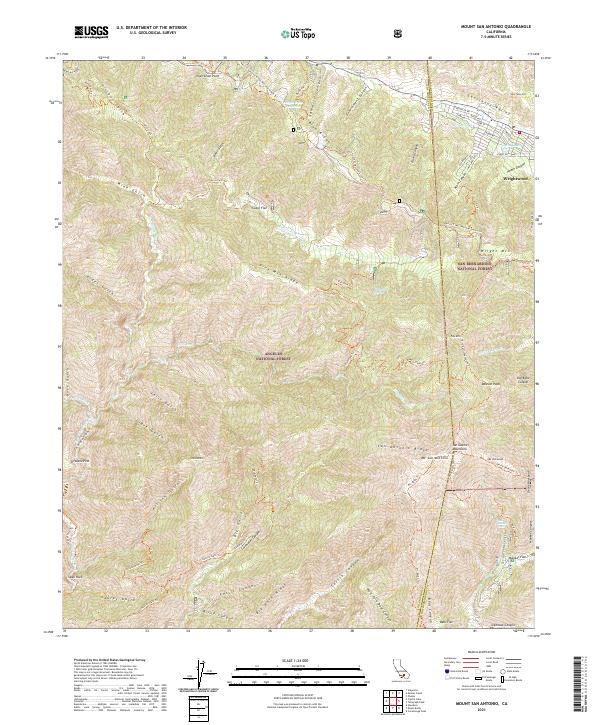
1955 Mount San Antonio
Los Angeles County, CA
1956 El Mirage
Los Angeles County, CA
1956 Mescal Creek
Los Angeles County, CA
1957 Alpine Butte
Los Angeles County, CA
1957 Hi Vista
Los Angeles County, CA
1957 Lovejoy Buttes
Los Angeles County, CA
1957 San Clemente Island
Los Angeles County, CA
1958 Black Mtn
Los Angeles County, CA
1958 Bouquet Reservoir
Los Angeles County, CA
1958 Burnt Peak
Los Angeles County, CA
1958 Crystal Lake
Los Angeles County, CA
1958 Del Sur
Los Angeles County, CA
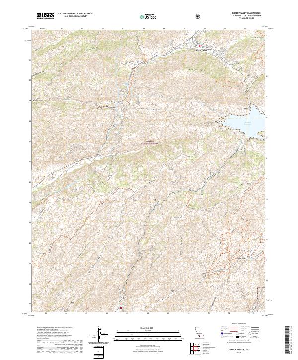
1958 Green Valley
Los Angeles County, CA
1958 Lancaster East
Los Angeles County, CA
1958 Lancaster West
Los Angeles County, CA
1958 Liebre Mountain
Los Angeles County, CA
1958 Ritter Ridge
Los Angeles County, CA
1958 Sleepy Valley
Los Angeles County, CA
1958 Valyermo
Los Angeles County, CA
1958 Warm Springs Mountain
Los Angeles County, CA
1958 Whitaker Peak
Los Angeles County, CA
1959 Chilao Flat
Los Angeles County, CA
1959 Condor Peak
Los Angeles County, CA
1959 Juniper Hills
Los Angeles County, CA
1959 Pacifico Mountain
Los Angeles County, CA
1959 Valyermo
Los Angeles County, CA
1959 Waterman Mtn
Los Angeles County, CA
1960 Mint Canyon
Los Angeles County, CA
1964 San Pedro
Los Angeles County, CA
1964 Venice
Los Angeles County, CA
1965 Fairmont Butte
Los Angeles County, CA
1965 La Liebre Ranch
Los Angeles County, CA
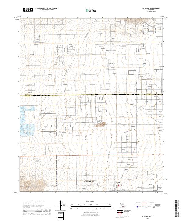
1965 Little Buttes
Los Angeles County, CA
1965 Neenach School
Los Angeles County, CA
1966 Hollywood
Los Angeles County, CA
1966 Mt. Wilson
Los Angeles County, CA
1966 Sunland
Los Angeles County, CA
1966 Van Nuys
Los Angeles County, CA
1967 Mt. Baldy
Los Angeles County, CA
1968 El Mirage
Los Angeles County, CA
1973 Jackrabbit Hill
Los Angeles County, CA
1973 Redman
Los Angeles County, CA
1973 Rogers Lake South
Los Angeles County, CA
1973 Rosamond Lake
Los Angeles County, CA
1976 Canoga Park
Los Angeles County, CA
1976 Chilao Flat
Los Angeles County, CA
1976 Condor Peak
Los Angeles County, CA
1976 Crystal Lake
Los Angeles County, CA
1976 Oat Mountain
Los Angeles County, CA
1976 Van Nuys
Los Angeles County, CA
1978 Black Mtn
Los Angeles County, CA
1978 Burnt Peak
Los Angeles County, CA
1978 Warm Springs Mtn
Los Angeles County, CA
1980 San Clemente Island
Los Angeles County, CA
1981 Santa Catalina Island
Los Angeles County, CA
1991 Black Mountain
Los Angeles County, CA
1991 Pacifico Mountain
Los Angeles County, CA
1991 Sunland
Los Angeles County, CA
1992 Alpine Butte
Los Angeles County, CA
1992 Redman
Los Angeles County, CA
1992 Rogers Lake South
Los Angeles County, CA
1995 Black Mountain
Los Angeles County, CA
1995 Burnt Peak
Los Angeles County, CA
1995 Chilao Flat
Los Angeles County, CA
1995 Condor Peak
Los Angeles County, CA
1995 Crystal Lake
Los Angeles County, CA
1995 Del Sur
Los Angeles County, CA
1995 Fairmont Butte
Los Angeles County, CA
1995 Green Valley
Los Angeles County, CA
1995 Juniper Hills
Los Angeles County, CA
1995 La Liebre Ranch
Los Angeles County, CA
1995 Liebre Mountain
Los Angeles County, CA
1995 Malibu Beach
Los Angeles County, CA
1995 Mescal Creek
Los Angeles County, CA
1995 Mint Canyon
Los Angeles County, CA
1995 Mount Baldy
Los Angeles County, CA
1995 Mount San Antonio
Los Angeles County, CA
1995 Mount Wilson
Los Angeles County, CA
1995 Neenach School
Los Angeles County, CA
1995 Newhall
Los Angeles County, CA
1995 Pacifico Mountain
Los Angeles County, CA
1995 Point Dume
Los Angeles County, CA
1995 Sleepy Valley
Los Angeles County, CA
1995 Sunland
Los Angeles County, CA
1995 Valyermo
Los Angeles County, CA
1995 Warm Springs Mountain
Los Angeles County, CA
1995 Waterman Mountain
Los Angeles County, CA
1995 Whitaker Peak
Los Angeles County, CA
1998 Santa Catalina North
Los Angeles County, CA
1998 Santa Catalina South
Los Angeles County, CA

2021 Adobe Mountain
Los Angeles County, CA
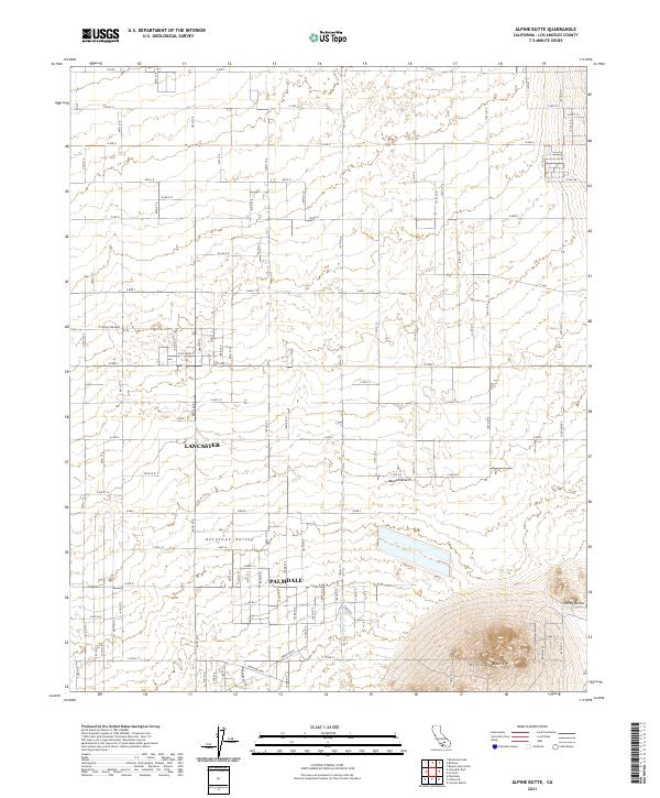
2021 Alpine Butte
Los Angeles County, CA
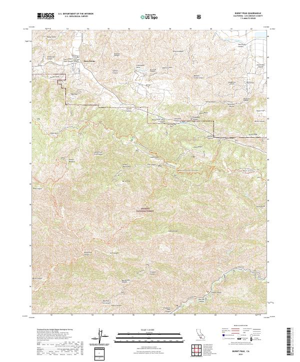
2021 Burnt Peak
Los Angeles County, CA
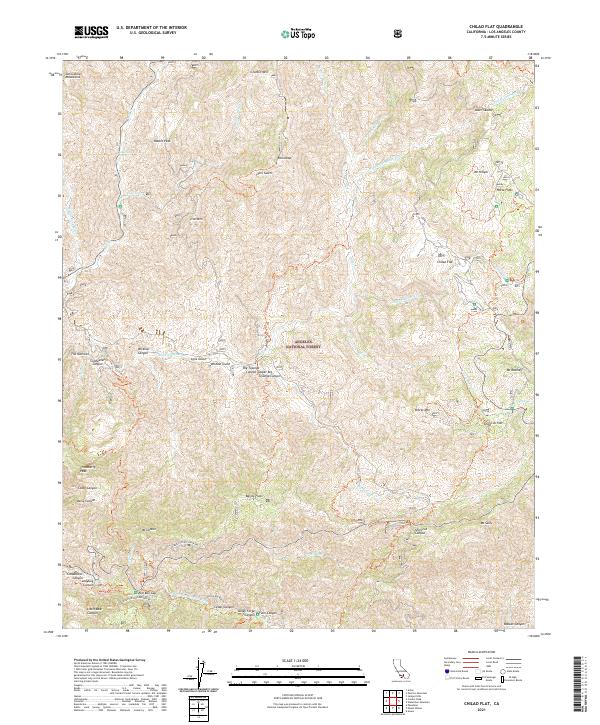
2021 Chilao Flat
Los Angeles County, CA
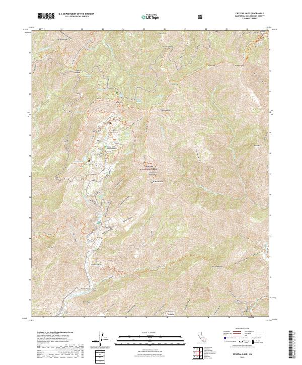
2021 Crystal Lake
Los Angeles County, CA
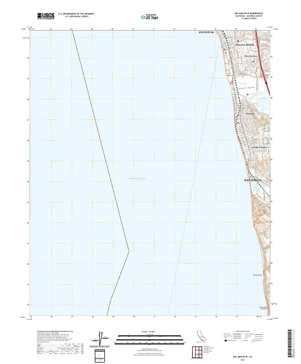
2021 Del Mar OE W
Los Angeles County, CA
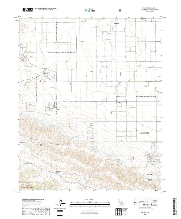
2021 Del Sur
Los Angeles County, CA
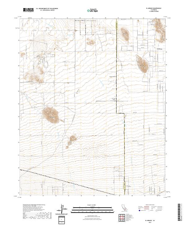
2021 El Mirage
Los Angeles County, CA
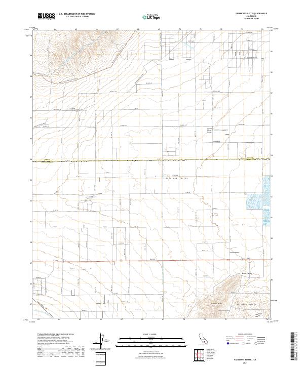
2021 Fairmont Butte
Los Angeles County, CA
2021 Green Valley
Los Angeles County, CA
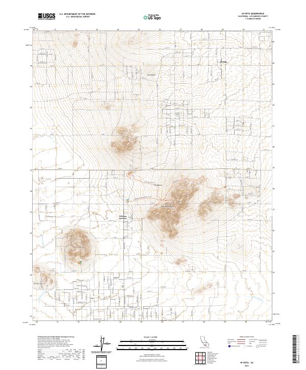
2021 Hi Vista
Los Angeles County, CA
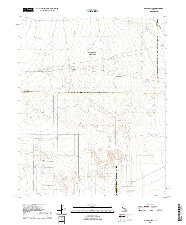
2021 Jackrabbit Hill
Los Angeles County, CA
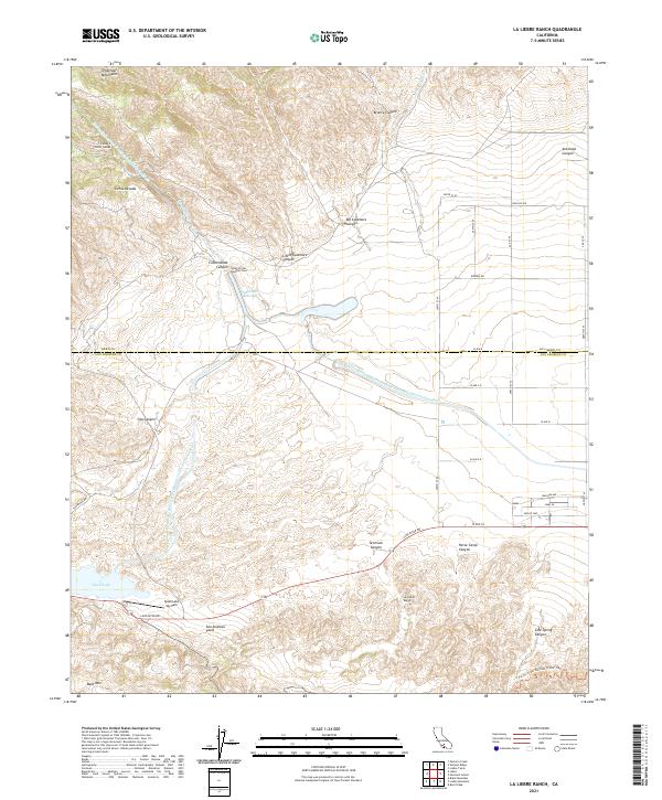
2021 La Liebre Ranch
Los Angeles County, CA
2021 Little Buttes
Los Angeles County, CA
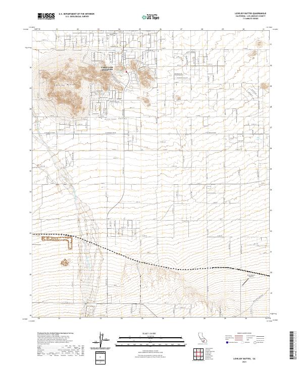
2021 Lovejoy Buttes
Los Angeles County, CA
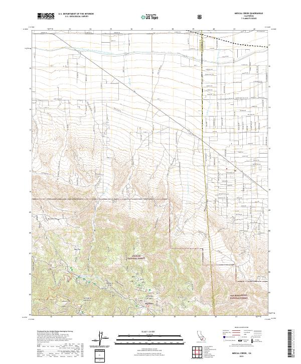
2021 Mescal Creek
Los Angeles County, CA
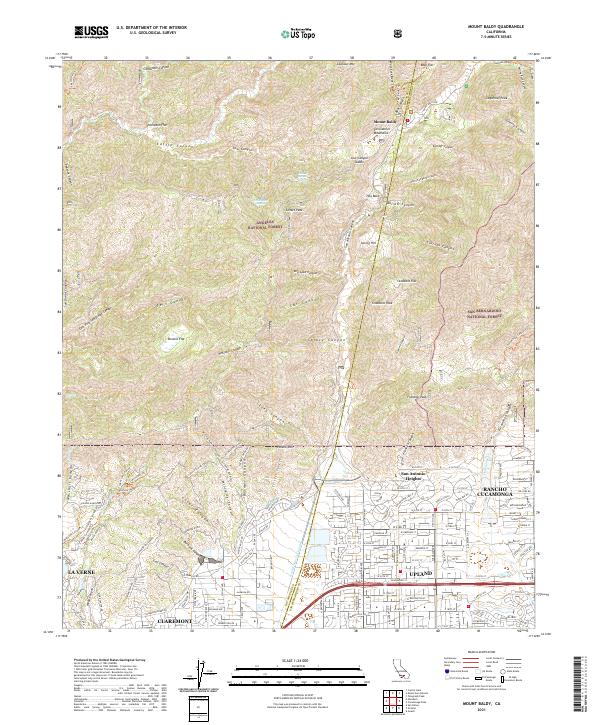
2021 Mount Baldy
Los Angeles County, CA
2021 Mount San Antonio
Los Angeles County, CA
2021 Neenach School
Los Angeles County, CA
2021 Point Dume
Los Angeles County, CA
2021 Rosamond Lake
Los Angeles County, CA
2021 San Clemente Island Central
Los Angeles County, CA
2021 San Clemente Island Central OE E
Los Angeles County, CA
2021 San Clemente Island Central OE S
Los Angeles County, CA
2021 San Clemente Island North
Los Angeles County, CA
2021 San Clemente Island South
Los Angeles County, CA
2021 San Clemente Island South OE E
Los Angeles County, CA
2021 San Pedro
Los Angeles County, CA
2021 Santa Catalina East OE N
Los Angeles County, CA
2021 Santa Catalina North
Los Angeles County, CA
2021 Santa Catalina West
Los Angeles County, CA

2021 Valyermo
Los Angeles County, CA
2021 Venice
Los Angeles County, CA
2022 Black Mountain
Los Angeles County, CA
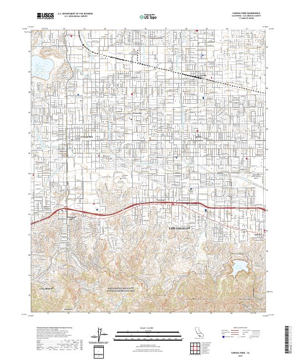
2022 Canoga Park
Los Angeles County, CA
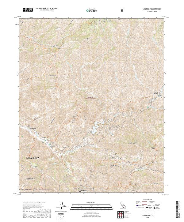
2022 Condor Peak
Los Angeles County, CA
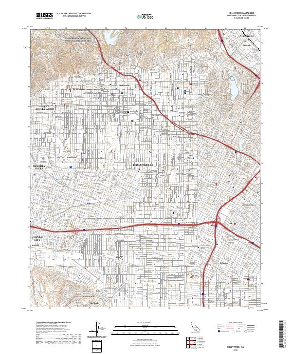
2022 Hollywood
Los Angeles County, CA
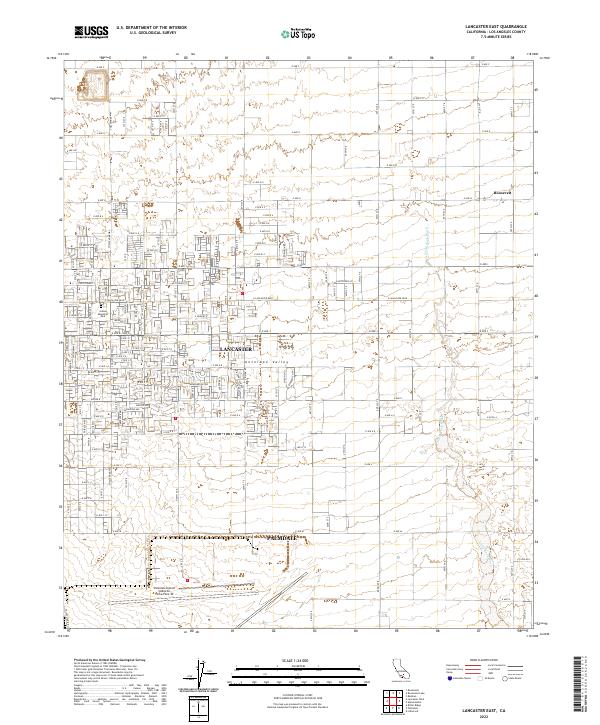
2022 Lancaster East
Los Angeles County, CA
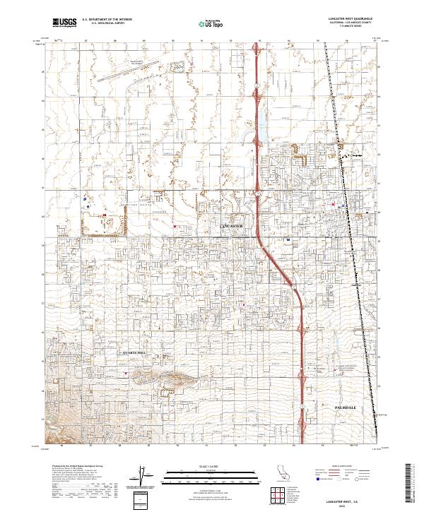
2022 Lancaster West
Los Angeles County, CA
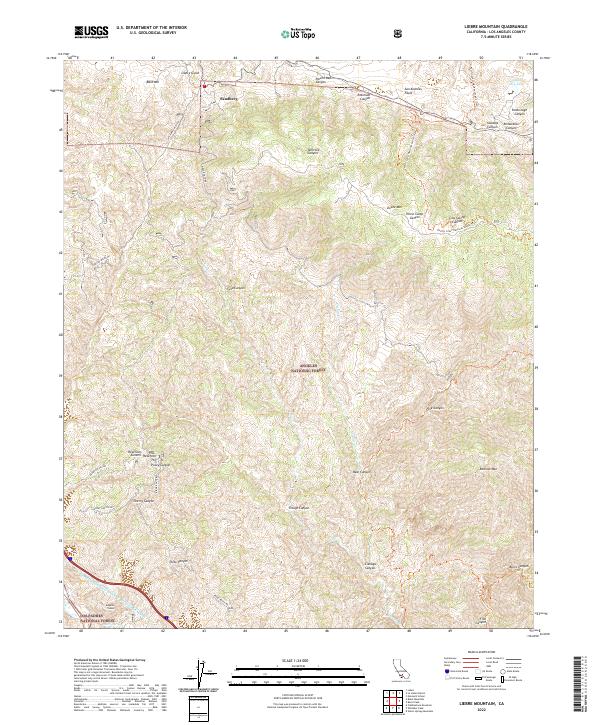
2022 Liebre Mountain
Los Angeles County, CA
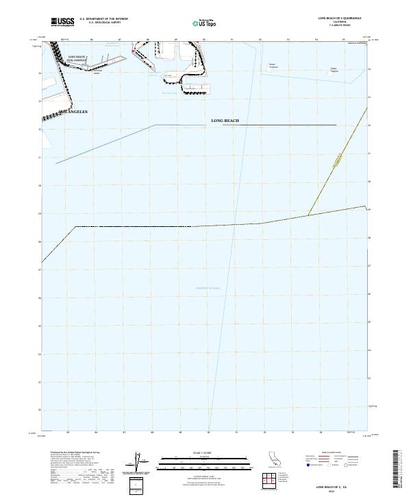
2022 Long Beach OE S
Los Angeles County, CA

2022 Malibu Beach
Los Angeles County, CA
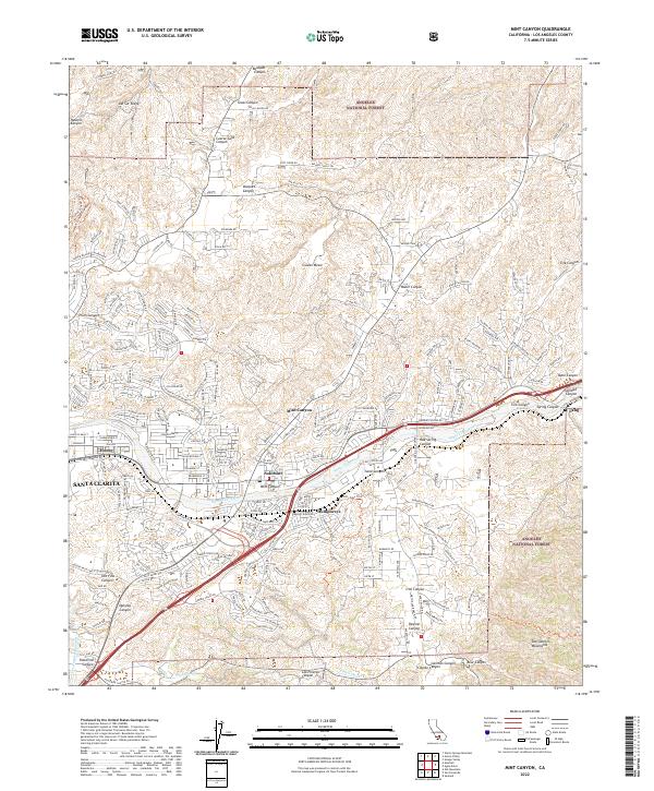
2022 Mint Canyon
Los Angeles County, CA
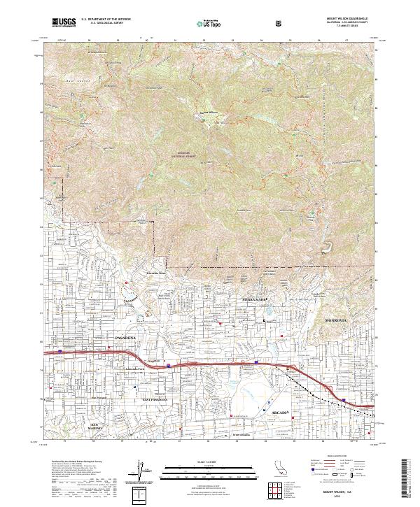
2022 Mount Wilson
Los Angeles County, CA
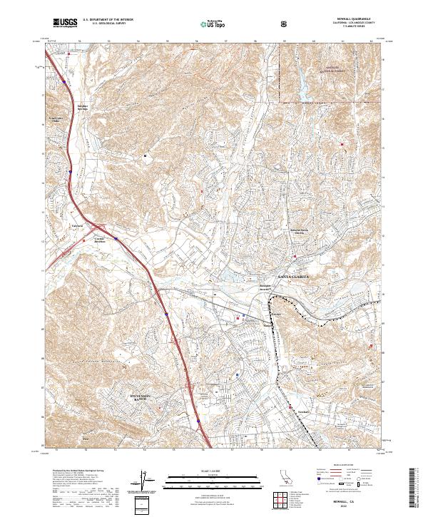
2022 Newhall
Los Angeles County, CA
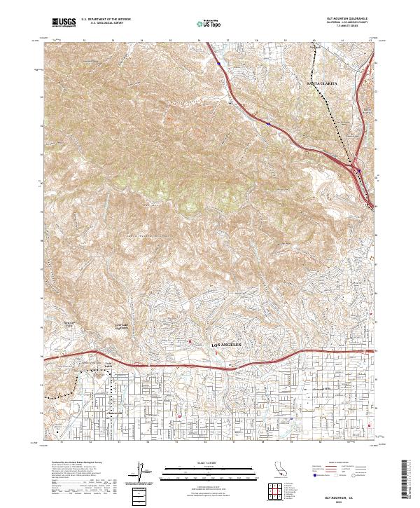
2022 Oat Mountain
Los Angeles County, CA
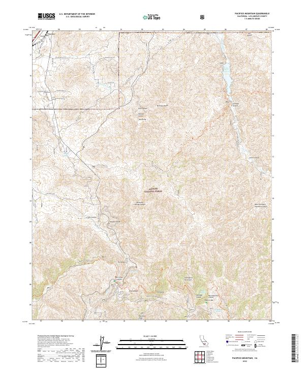
2022 Pacifico Mountain
Los Angeles County, CA
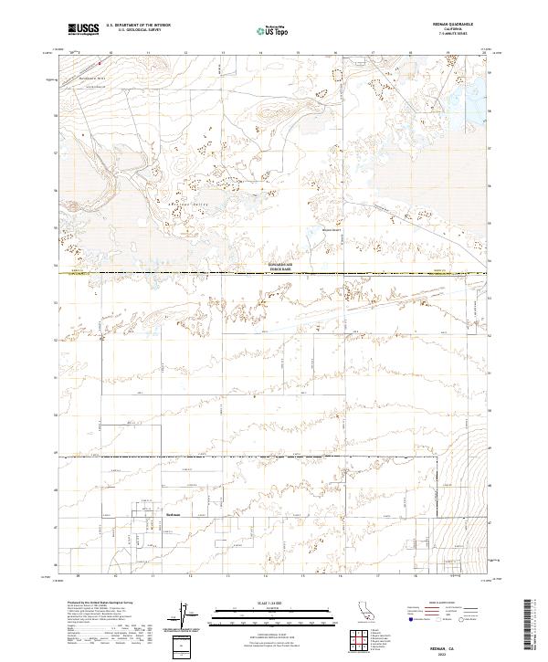
2022 Redman
Los Angeles County, CA
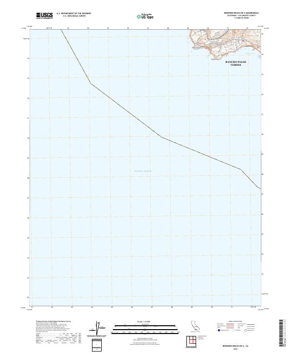
2022 Redondo Beach OE S
Los Angeles County, CA
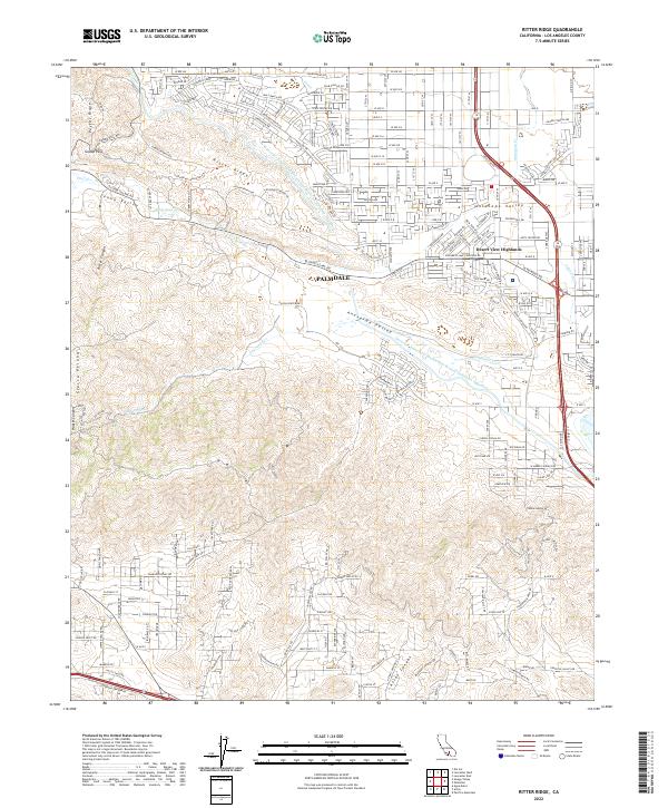
2022 Ritter Ridge
Los Angeles County, CA
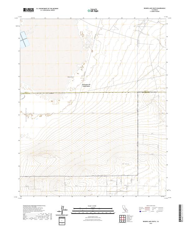
2022 Rogers Lake South
Los Angeles County, CA
2022 Santa Catalina East
Los Angeles County, CA

2022 Santa Catalina South
Los Angeles County, CA
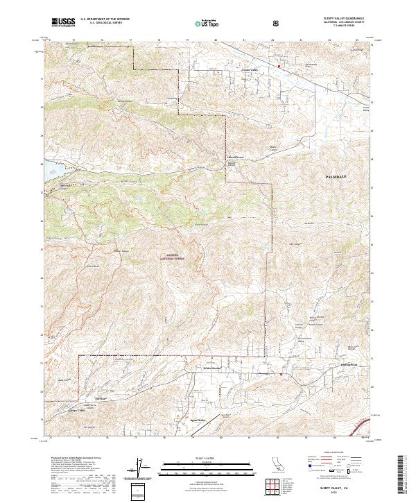
2022 Sleepy Valley
Los Angeles County, CA
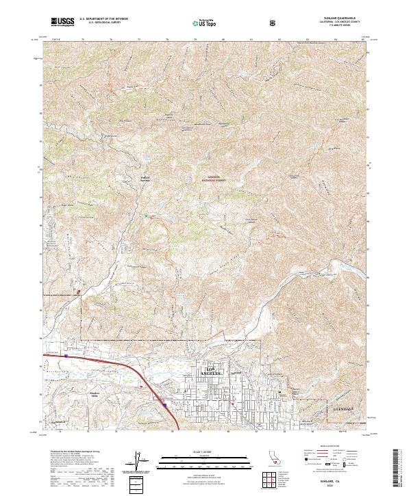
2022 Sunland
Los Angeles County, CA
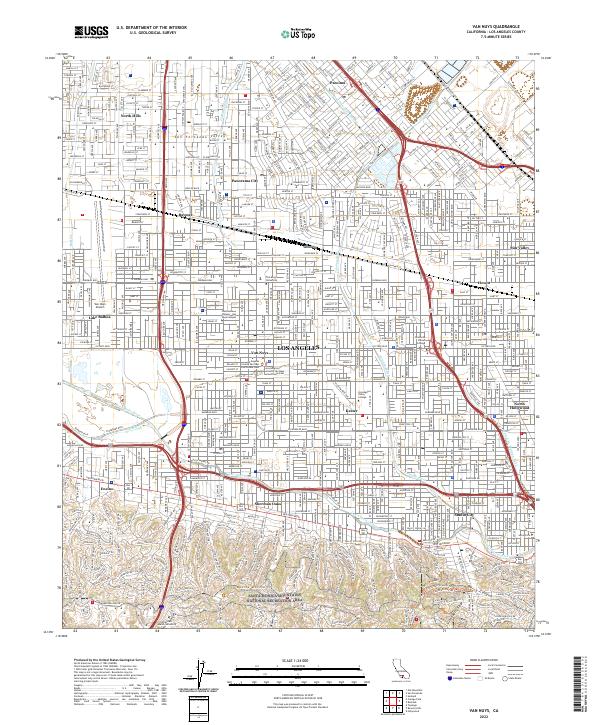
2022 Van Nuys
Los Angeles County, CA
2022 Warm Springs Mountain
Los Angeles County, CA
2022 Whitaker Peak
Los Angeles County, CA
2023 Juniper Hills
Los Angeles County, CA
2023 Waterman Mountain
Los Angeles County, CA