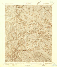
1936 Map of Waterman Mtn
USGS Topo · Published 1936About this map
The high peaks and drainages of the San Gabriel Mountains dominate this mid-1930s topographical study, a period when this part of Los Angeles County remained largely a wilderness of steep ridges and seasonal water sources. The Newcomb Ranch stands out as a rare point of human habitation in the high country, serving as a landmark for early travelers near Waterman Mtn. This map captures the intricate drainage patterns of the South Fork and Rock Creek, along with named natural water points like Sulphur Spr and Cedar Camp Spring that were vital for early mountain navigation. The survey, conducted by C.A. Ecklund and R.W. Burchard, highlights the complex terrain of Buckhorn Flat and the surrounding heights of Twin Peaks and Pleasant View Ridge before modern development reached into these elevations.
Find a feature on this map
15 named features on this map. Tap any name to fly to it.
Don’t see what you’re looking for? This feature index may not catch every label — zoom into the map to look around manually.
Map Details
Editions of this 1936 Waterman Mtn Map
This is the sole edition of this map. No revisions or reprints were ever made.
Other maps of this area

1900 · Tujunga
USGS Topo · 1:62,500

1901 · Southern California Sheet No. 1
USGS Topo · 1:250,000

1903 · Rock Creek
USGS Topo · 1:62,500

1904 · Southern California Sheet No. 1
USGS Topo · 1:250,000
1934 · Cima Mesa
USGS Topo · 1:24,000
1934 · Mt. Wilson
USGS Topo · 1:24,000
1934 · Valyermo
USGS Topo · 1:24,000
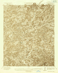
1934 · Camp Rincon
USGS Topo · 1:24,000
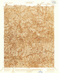
1934 · Chileno Canyon
USGS Topo · 1:24,000

1935 · Mt. Emma
USGS Topo · 1:24,000