
1968 Map of Stonewall Pass
USGS Topo · Published 1970About this map
Lida Valley dominates this high-desert landscape on the border of Esmeralda and Nye counties. The map captures a transitional terrain where the broad, white expanses of an Alkali Flat meet the rising slopes of Mount Jackson Ridge. This 1968 field-checked survey preserves the traces of early Nevada industry and infrastructure, most notably the long, diagonal scar of the Old Railroad Grade as it cuts across the valley floor. Near Stonewall Pass, the ground is marked by evidence of mineral exploration, including several Prospects and a lone Prospect further south. The drainage patterns are defined by the winding course of Jackson Wash, which carves through the arid valley toward the flats, illustrating the seasonal water movement in this basin-and-range environment.
Find a feature on this map
12 named features on this map. Tap any name to fly to it.
Don’t see what you’re looking for? This feature index may not catch every label — zoom into the map to look around manually.
Map Details
Editions of this 1968 Stonewall Pass Map
This is the sole edition of this map. No revisions or reprints were ever made.
Other maps of this area

1908 · Lida
USGS Topo · 1:250,000

1913 · Lida
USGS Topo · 1:250,000

1945 · Goldfield
USGS Topo · 1:125,000

1952 · Goldfield
USGS Topo · 1:62,500

1954 · Goldfield
USGS Topo · 1:250,000

1955 · Goldfield
USGS Topo · 1:250,000

1958 · Goldfield
USGS Topo · 1:250,000

1962 · Goldfield
USGS Topo · 1:250,000
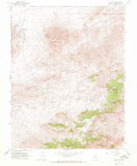
1968 · Gold Point
USGS Topo · 1:24,000
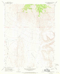
1968 · Scottys Junction NE
USGS Topo · 1:24,000