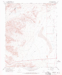
1967 Map of Columbus
USGS Topo · Published 1969About this map
Columbus stands as a focal point at the base of the Candelaria Hills in this late 1960s desert survey. The landscape is dominated by the vast, arid expanse of the Columbus Salt Marsh (Alkali Flat) to the east, while the western reaches transition into the Volcanic Hills. A complex network of Jeep Trails navigates the high country, connecting remote landmarks such as a lone Mine and various Prospects that indicate the region's enduring interest for mineral exploration. The drainage pattern of Pinchot Creek cuts through the southwestern corner, providing a seasonal contrast to the shifting Sand Dunes and stark white alkali flats. This map records the precise boundary between Mineral and Esmeralda counties, showing how the desolate terrain dictated early surveying lines and movement through the Great Basin.
Find a feature on this map
14 named features on this map. Tap any name to fly to it.
Don’t see what you’re looking for? This feature index may not catch every label — zoom into the map to look around manually.
Map Details
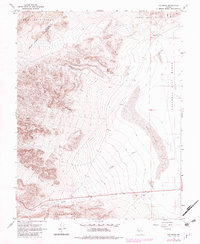
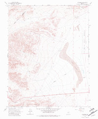
Editions of this 1967 Columbus Map
3 editions found
Other maps of this area

1898 · Silver Peak
USGS Topo · 1:125,000

1900 · Silver Peak
USGS Topo · 1:125,000

1907 · Tonopah
USGS Topo · 1:250,000

1908 · Lida
USGS Topo · 1:250,000

1908 · Tonopah
USGS Topo · 1:250,000

1909 · Hawthorne
USGS Topo · 1:250,000

1911 · Hawthorne
USGS Topo · 1:250,000

1913 · Lida
USGS Topo · 1:250,000

1915 · Hawthorne
USGS Topo · 1:250,000

1917 · White Mountain
USGS Topo · 1:125,000