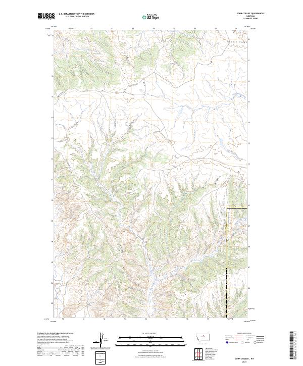
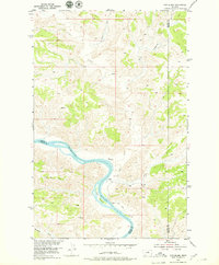
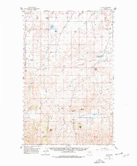
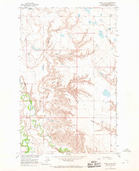
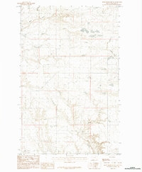
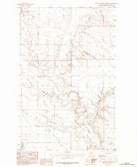
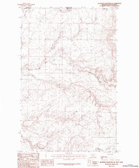
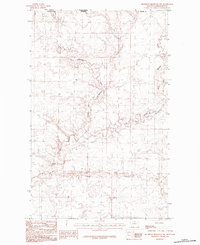
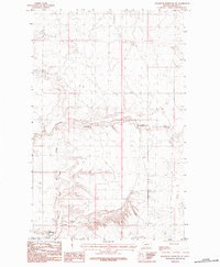
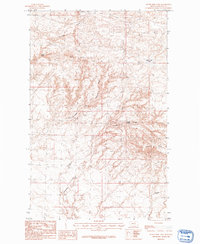
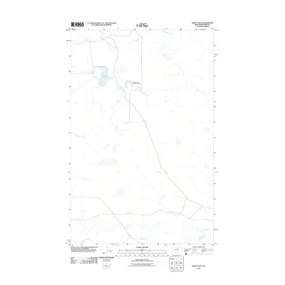
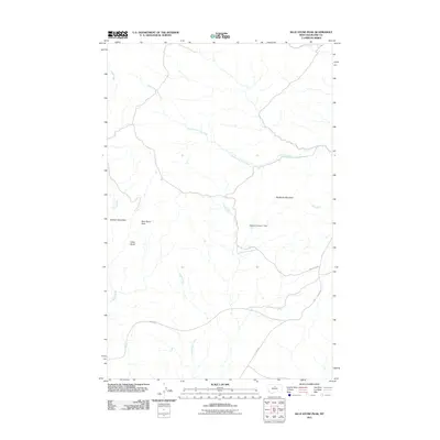
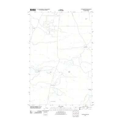
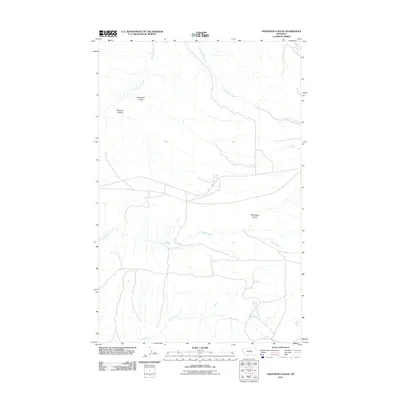
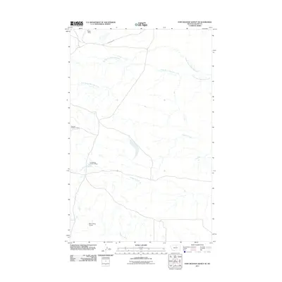
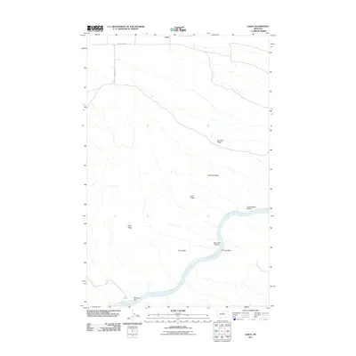
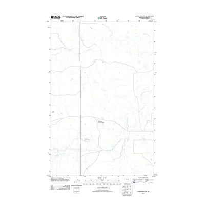
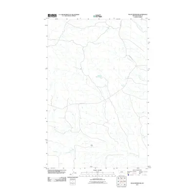
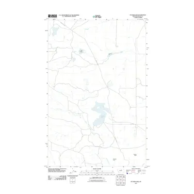
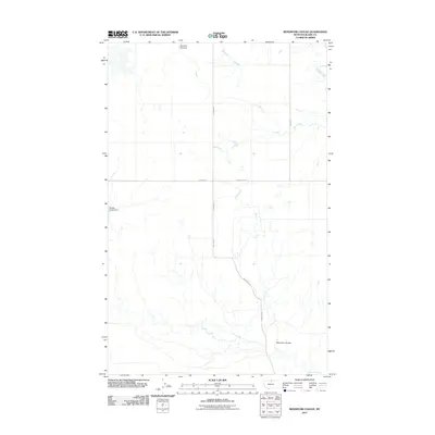
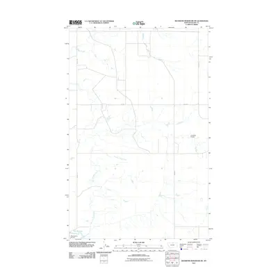
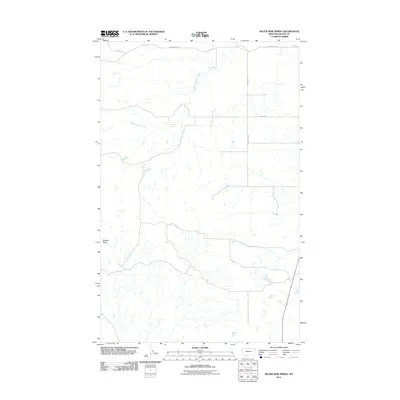
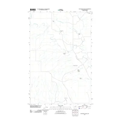
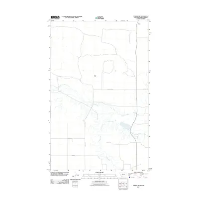
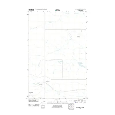
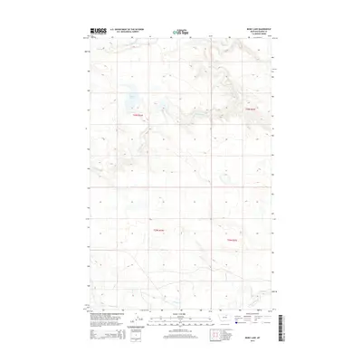
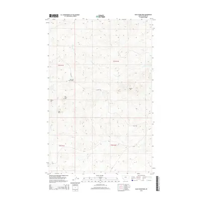
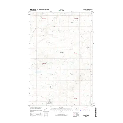
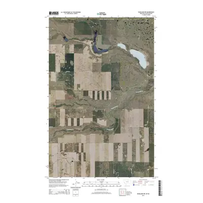
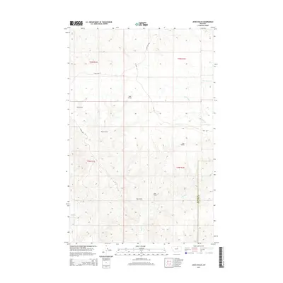
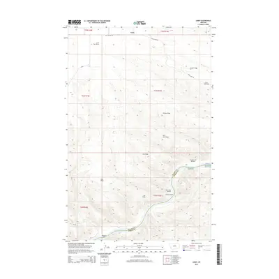
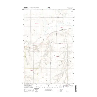
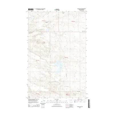
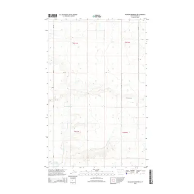
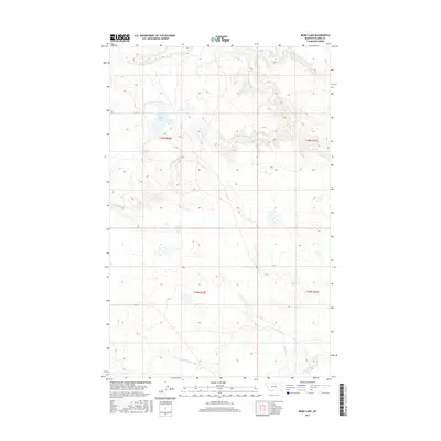
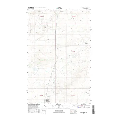
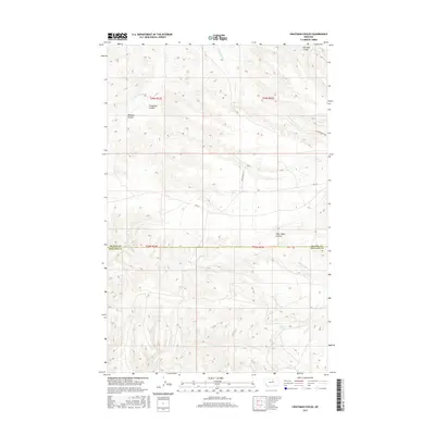
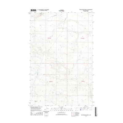
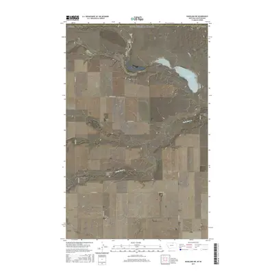
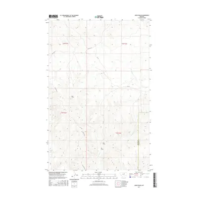
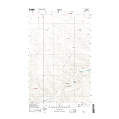
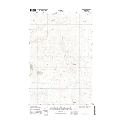
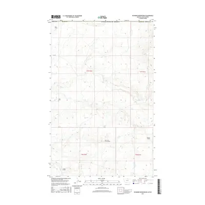
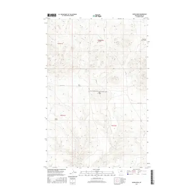
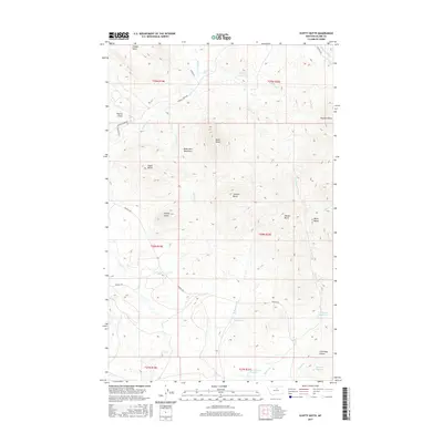
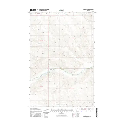
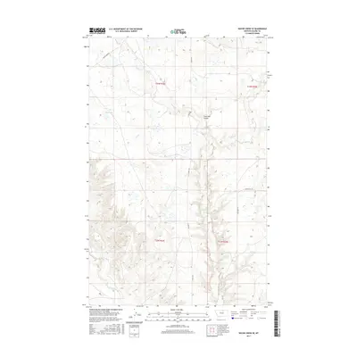
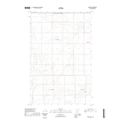
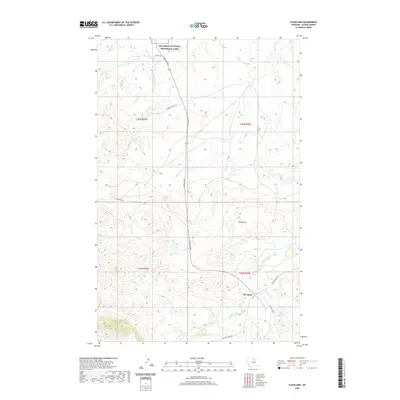
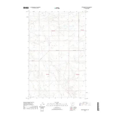
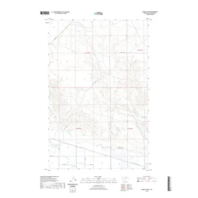
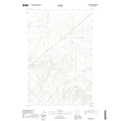
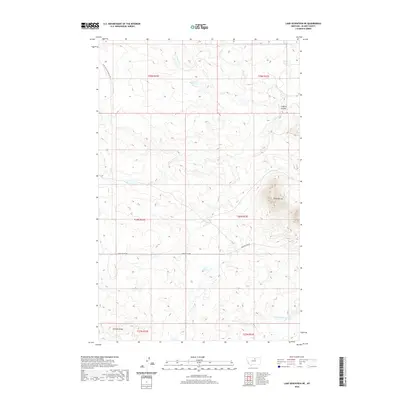
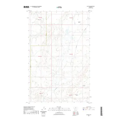
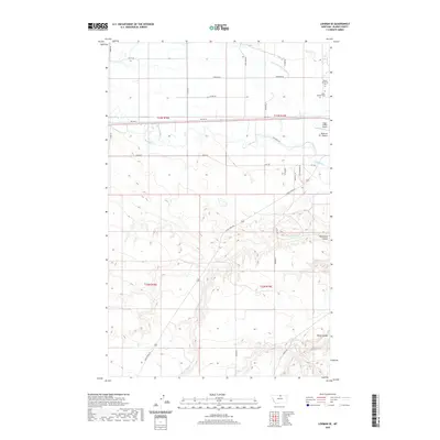
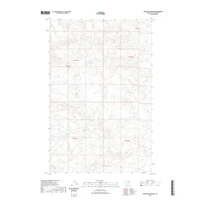
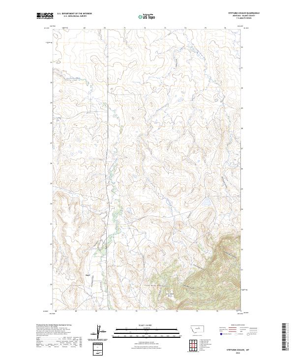
2024 Map of John Coulee
USGS Topo · Published 2024About this map
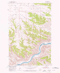
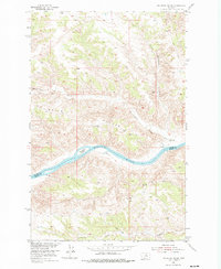
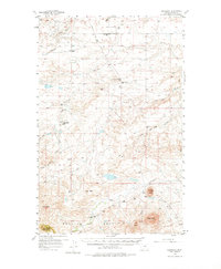
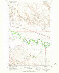
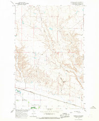
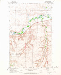
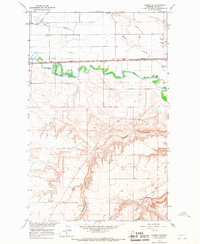
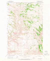
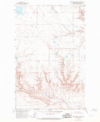
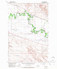
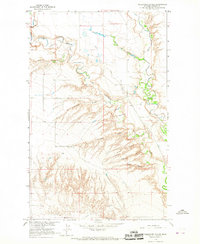
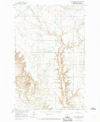
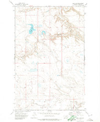
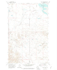
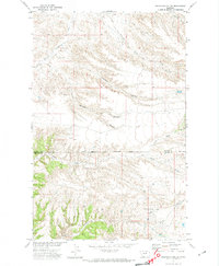
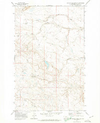
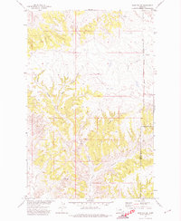
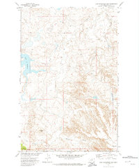
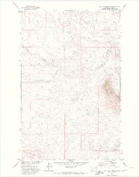
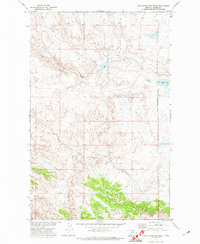
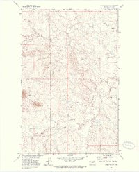
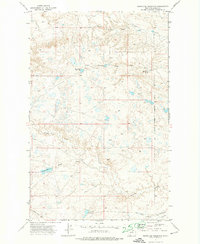
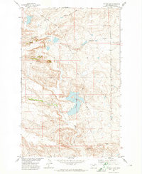
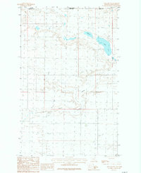
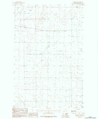
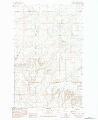
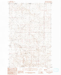
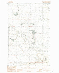
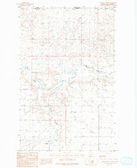
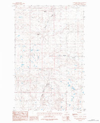
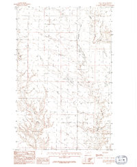
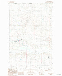
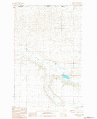
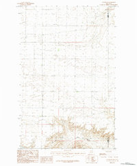
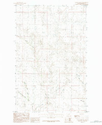
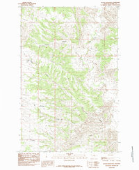
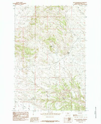
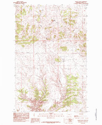
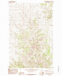
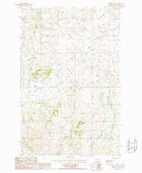
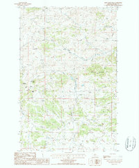
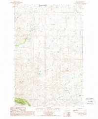
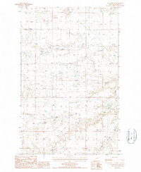
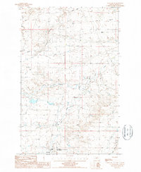
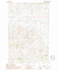
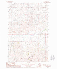
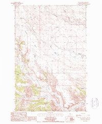
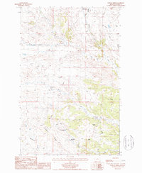
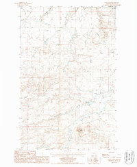
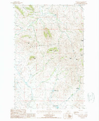
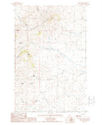
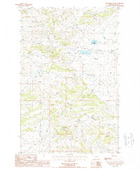
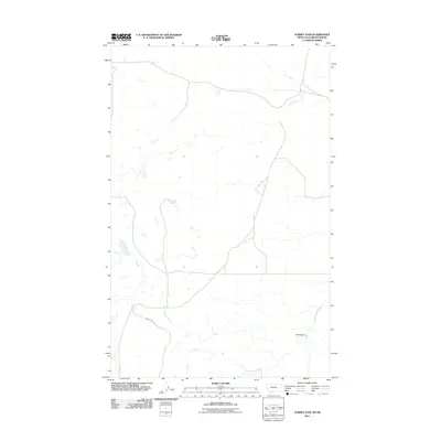
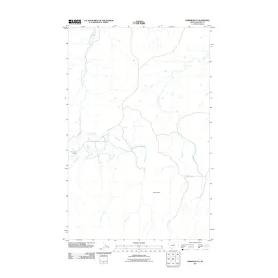
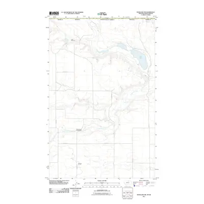
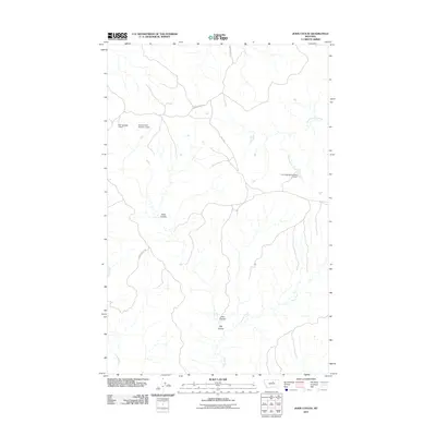
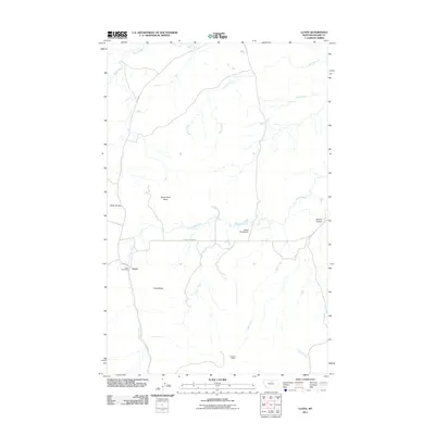
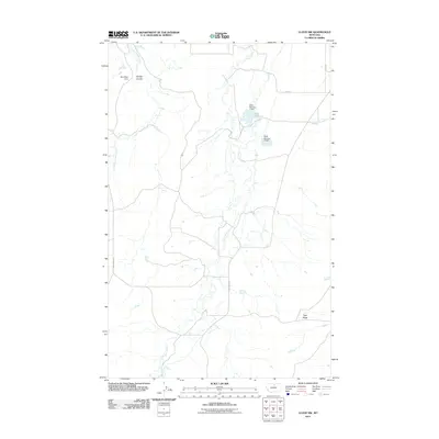
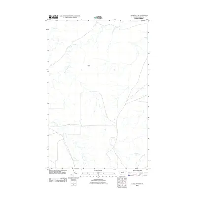
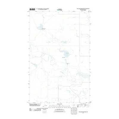
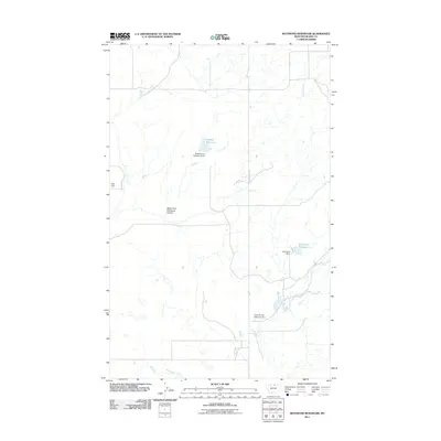
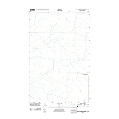
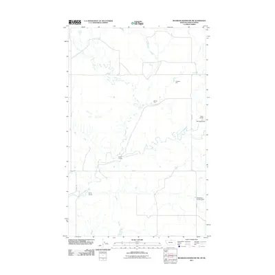
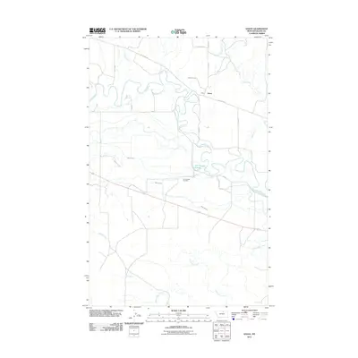
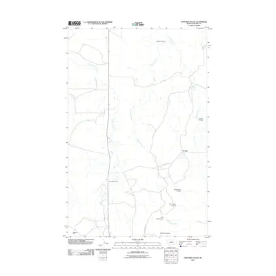
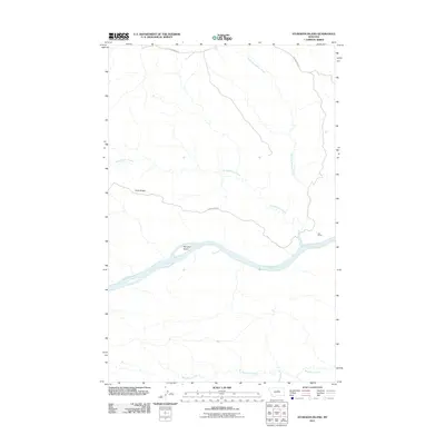
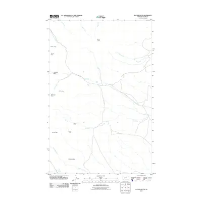
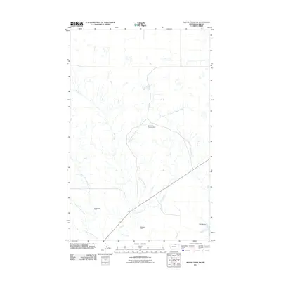
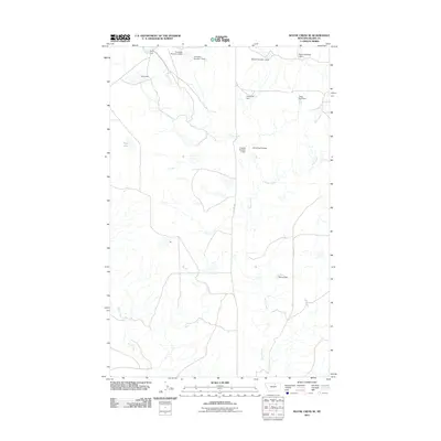
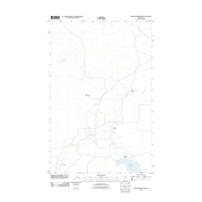
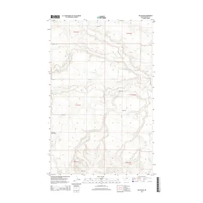
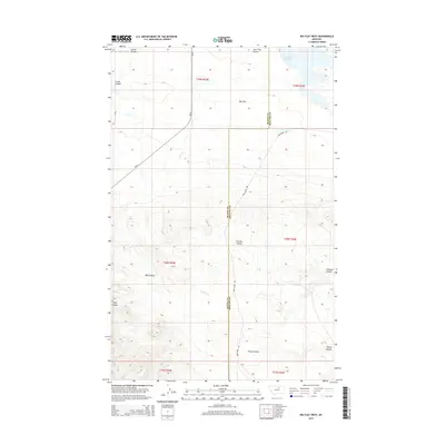
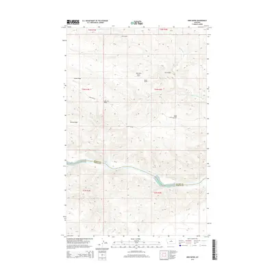
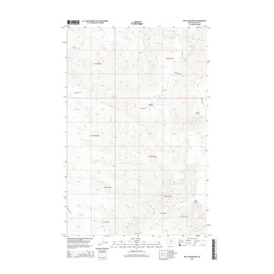
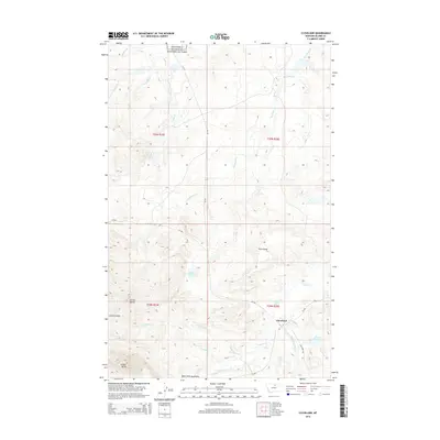
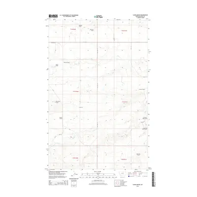
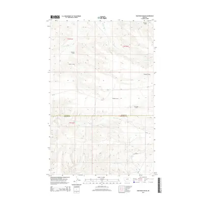
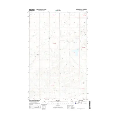
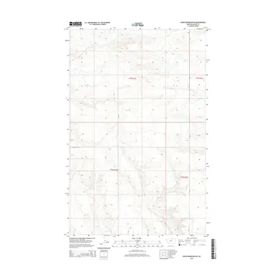
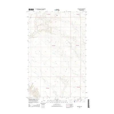
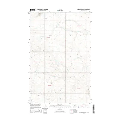
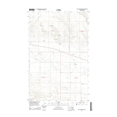
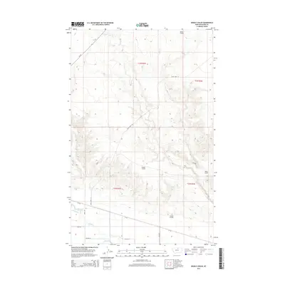
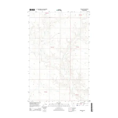
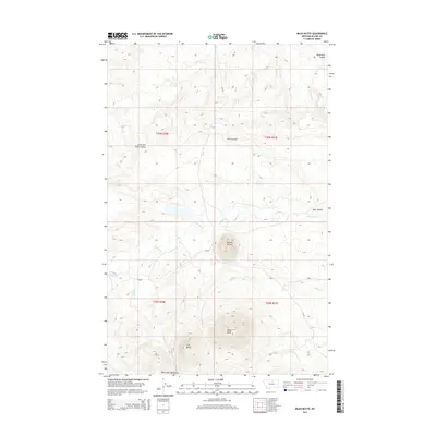
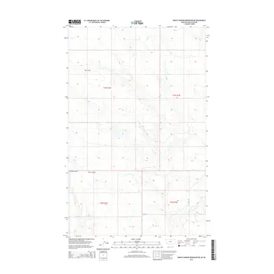
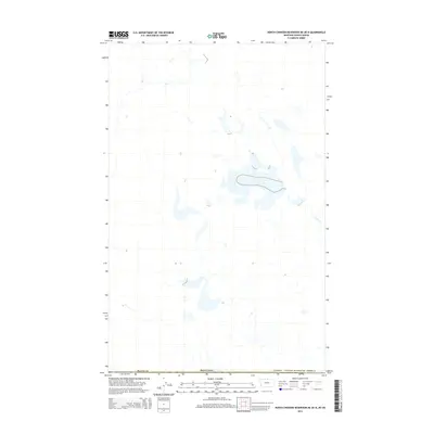
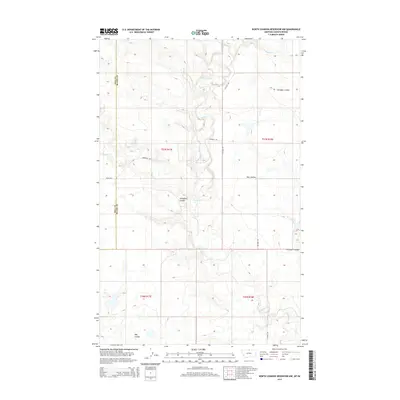
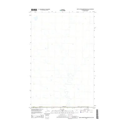
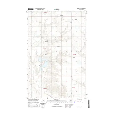
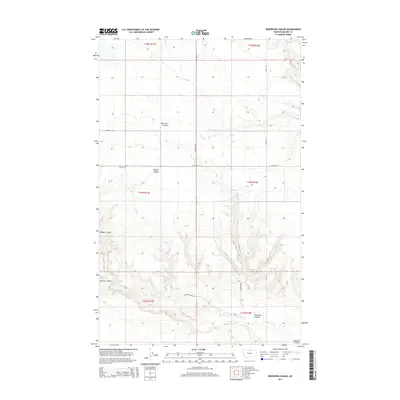
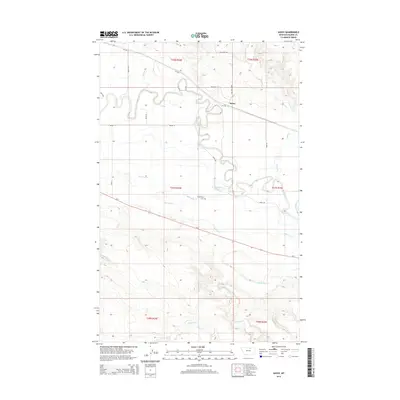
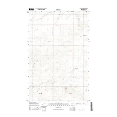
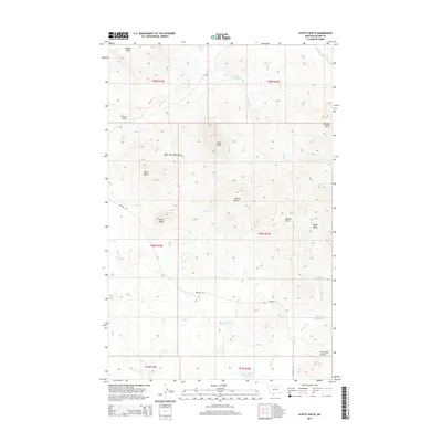
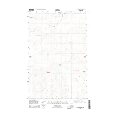
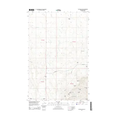
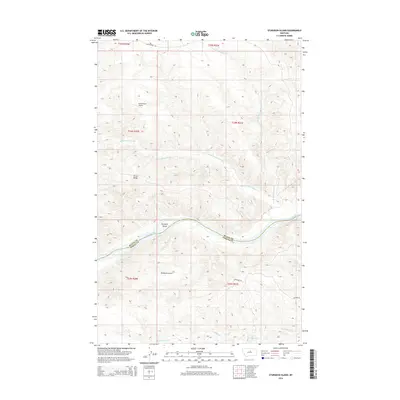
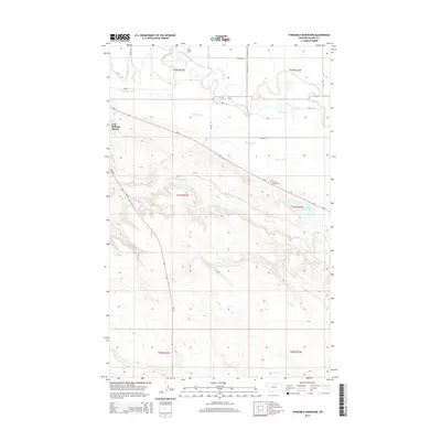
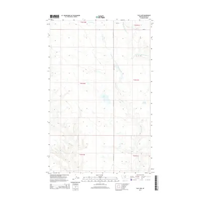
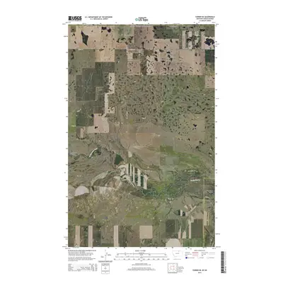
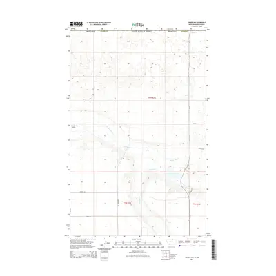
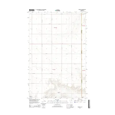
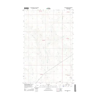
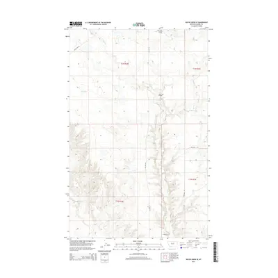
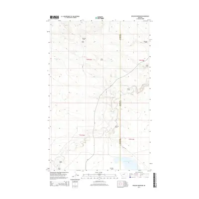
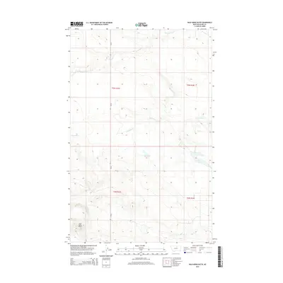
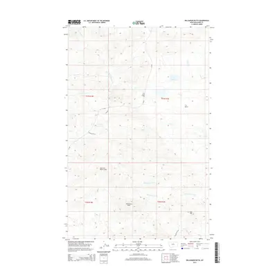
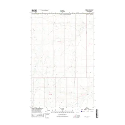
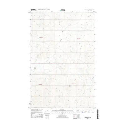
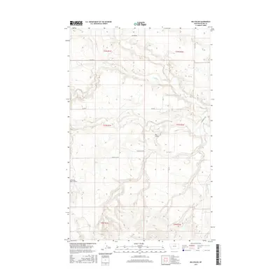
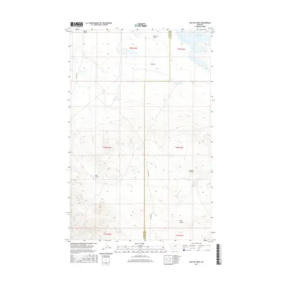
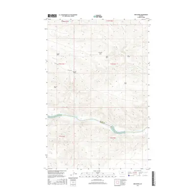
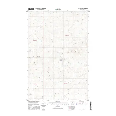
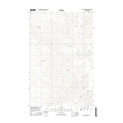
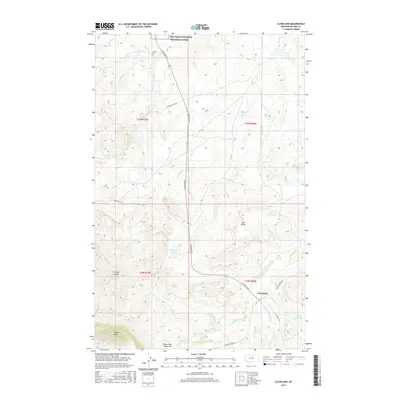
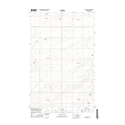
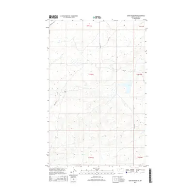
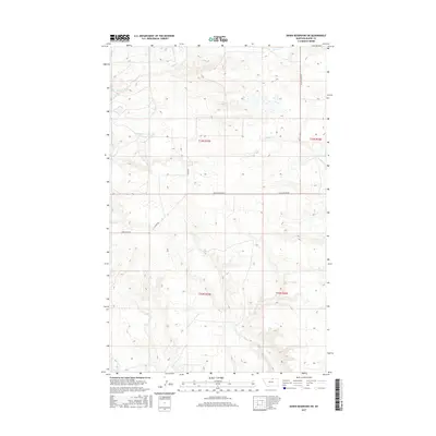
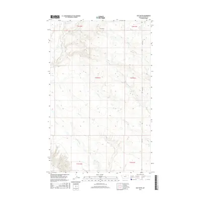
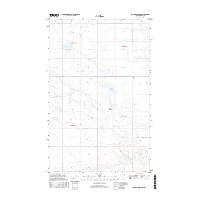
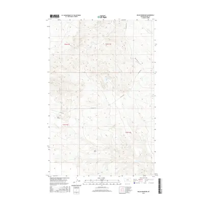
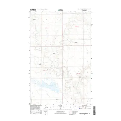
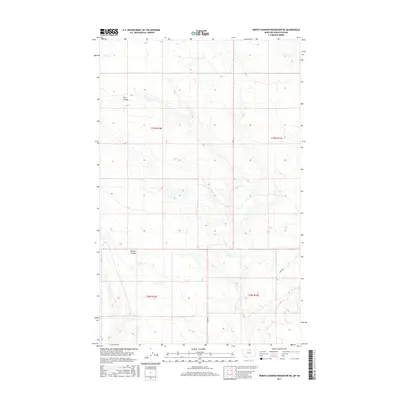
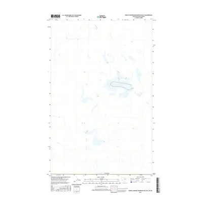
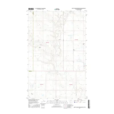
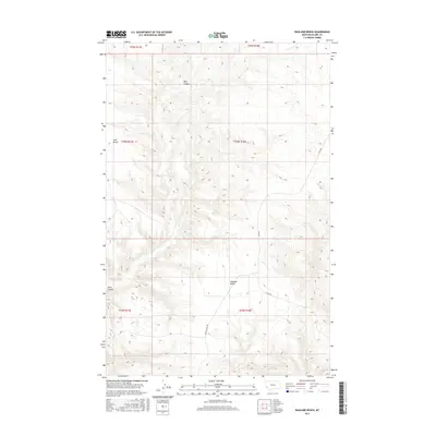
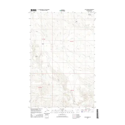
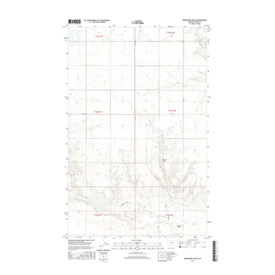
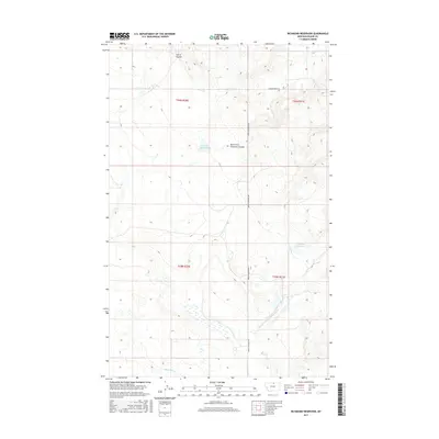
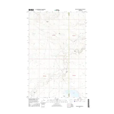
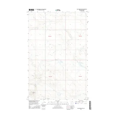
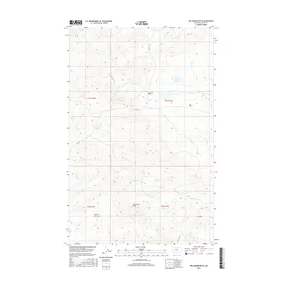
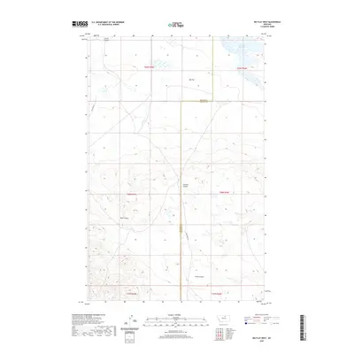
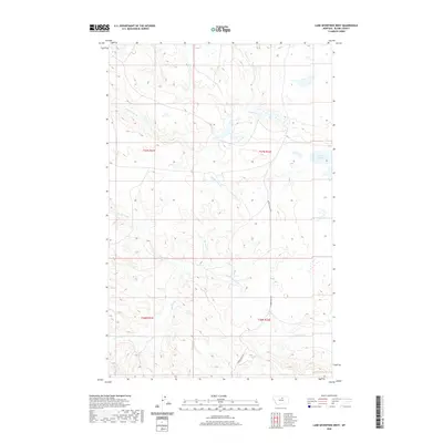
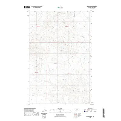
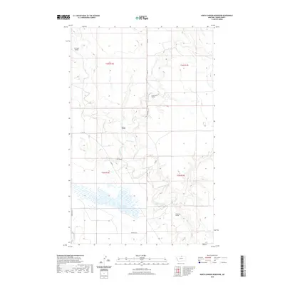
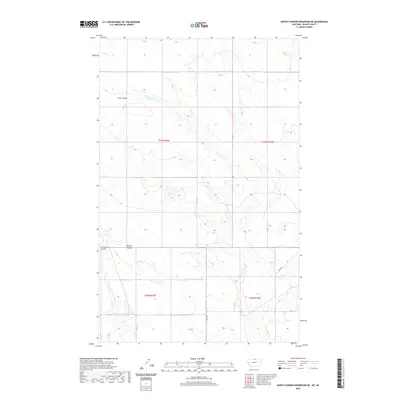
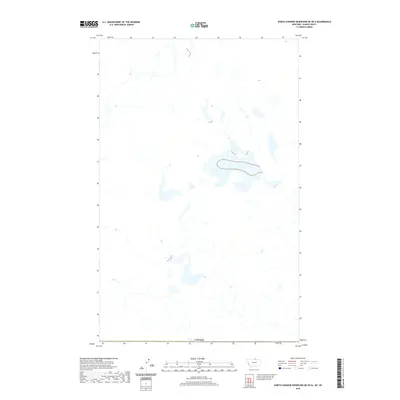
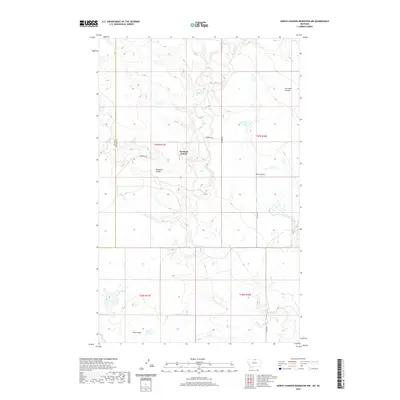
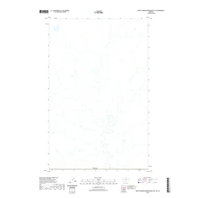
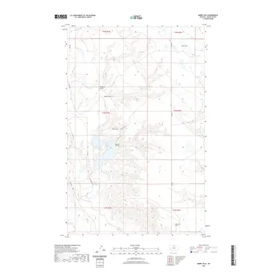
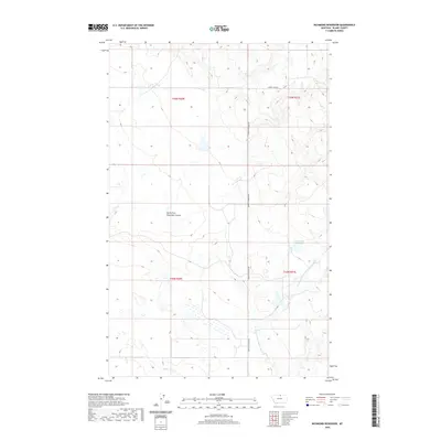
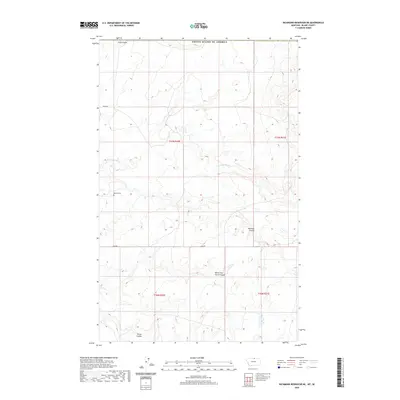
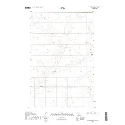
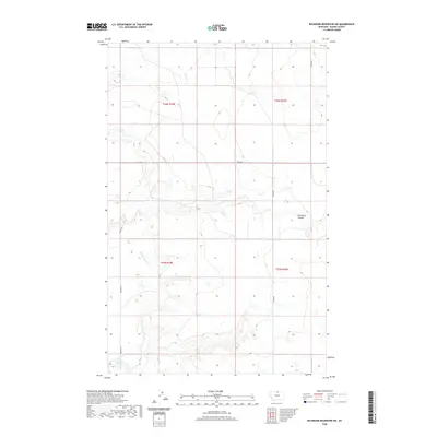
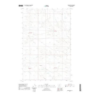
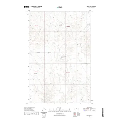
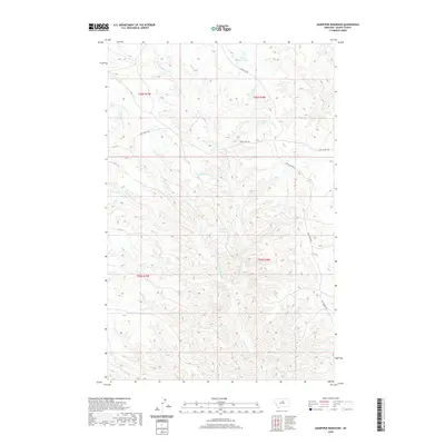
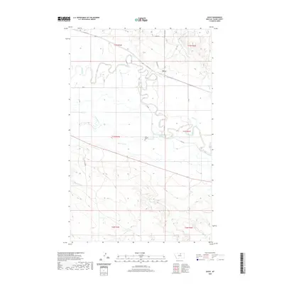
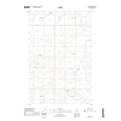
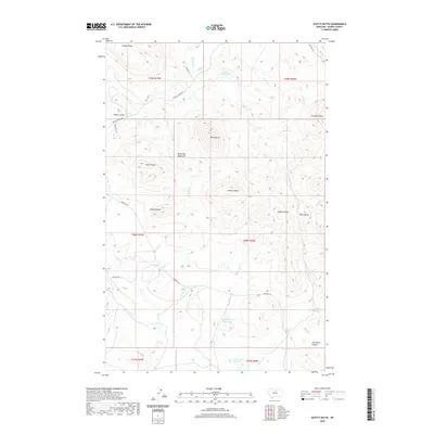
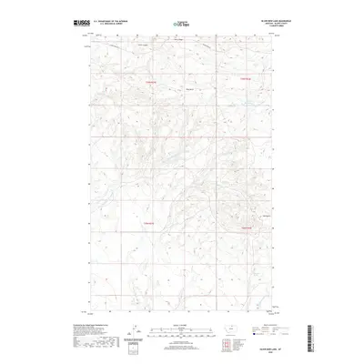
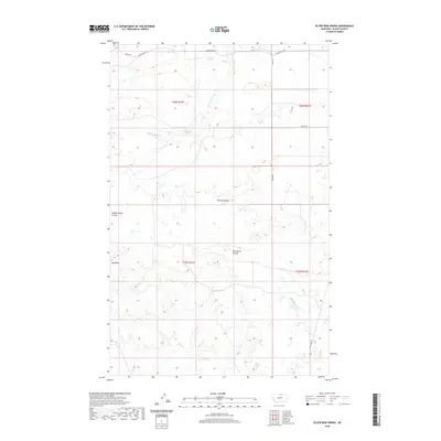
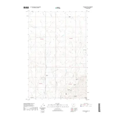
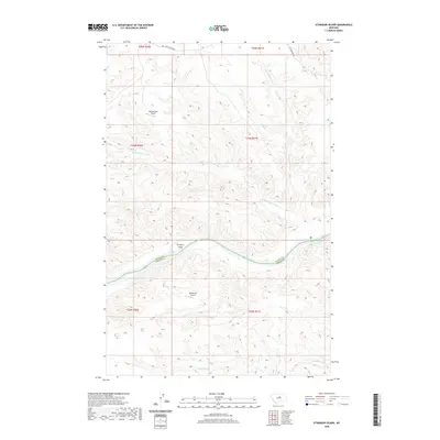
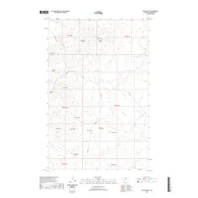
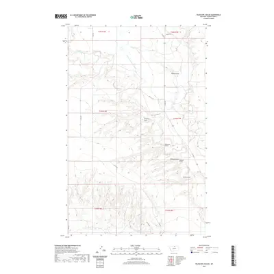
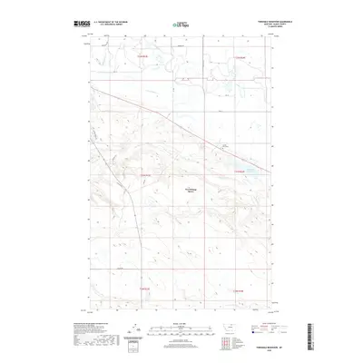
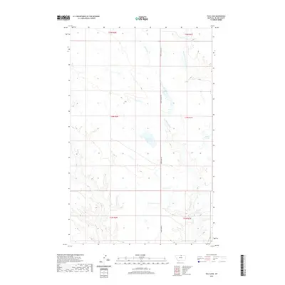
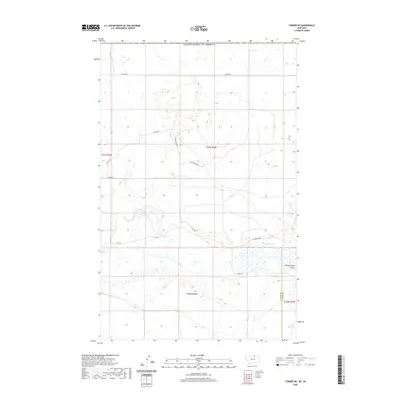
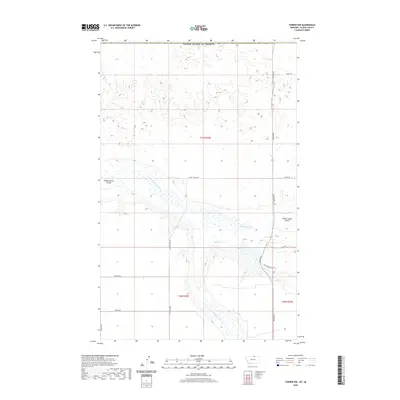
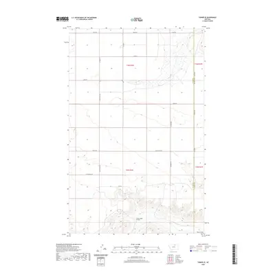
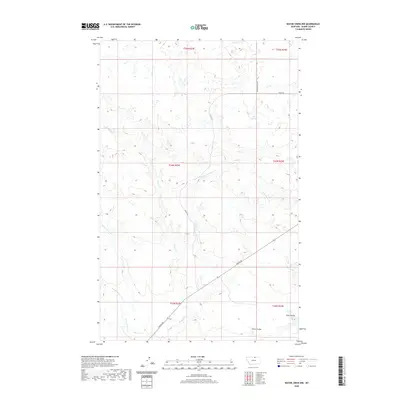
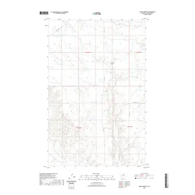
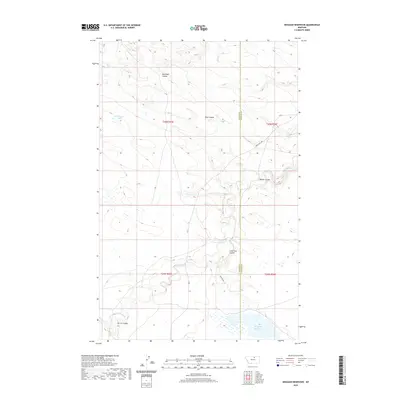
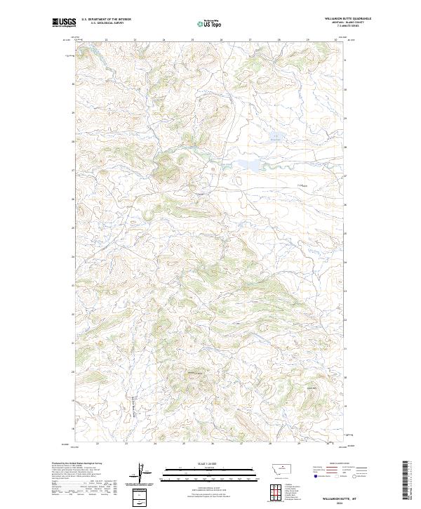
Upper Missouri River Breaks National Monument defines the southern portion of this landscape, protecting a complex network of coulees and high ridges along the Blaine and Phillips County line. The terrain is characterized by dramatic elevation shifts where Timber Ridge and Spencer Ridge Rd overlook deep drainages. This recent 2024 survey documents the hydrographic patterns of the northern plains, where intermittent watercourses like John Coulee, Buck Coulee, and the curiously named Kills At Night Creek have carved intricate pathways through the earth. Further north, Little Suction Creek and Hay Coulee snake through the sections, while established routes such as Timber Ridge Rd and Hays Rd provide access through this sparsely populated cattle country. The map serves as a precise record of contemporary public land boundaries and the enduring natural features of north-central Montana.
Find a feature on this map
15 named features on this map. Tap any name to fly to it.
Don’t see what you’re looking for? This feature index may not catch every label — zoom into the map to look around manually.
Map Details
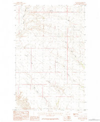
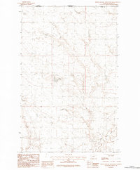
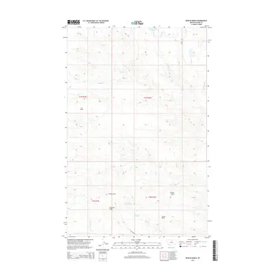
Editions of this 2024 John Coulee Map
This is the sole edition of this map. No revisions or reprints were ever made.
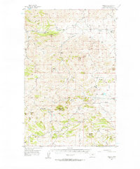
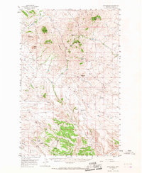
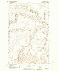
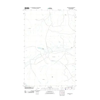
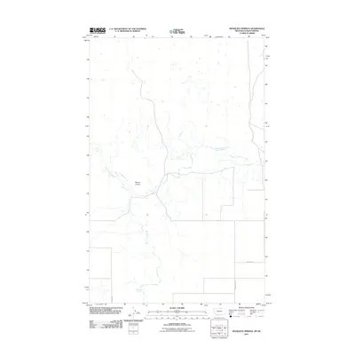
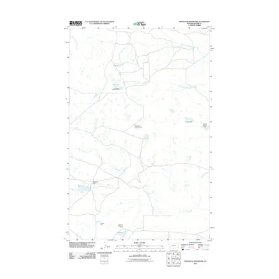
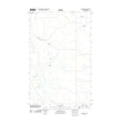
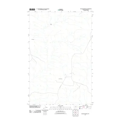
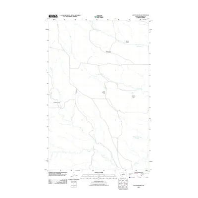
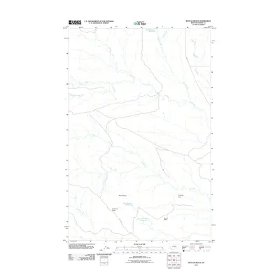
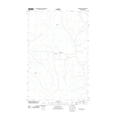
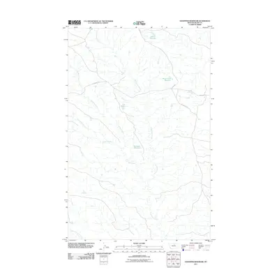
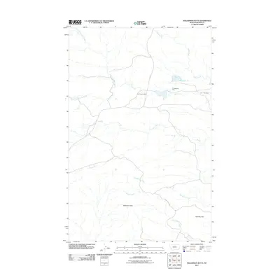
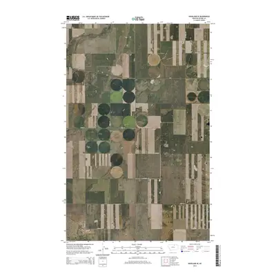
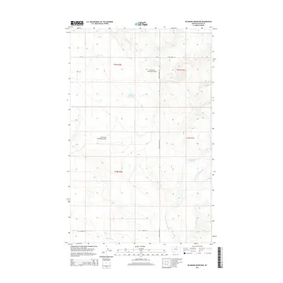
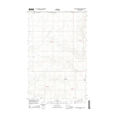
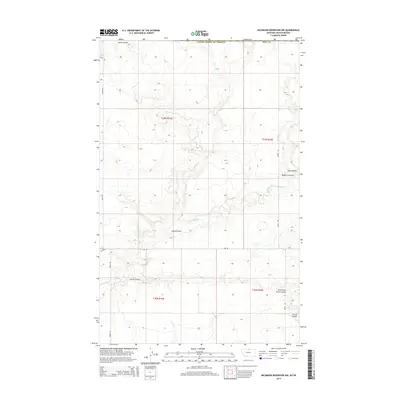
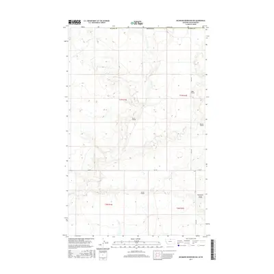
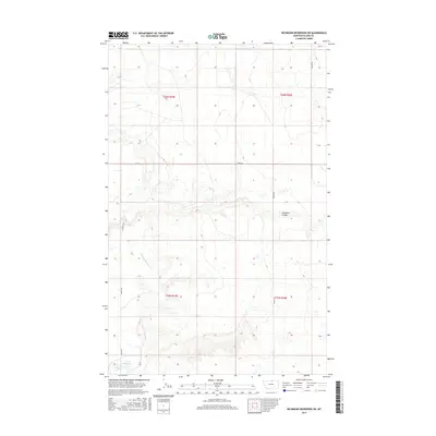
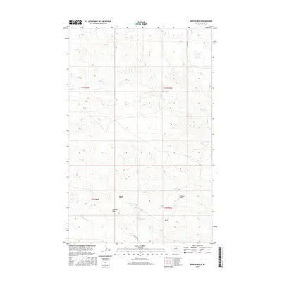
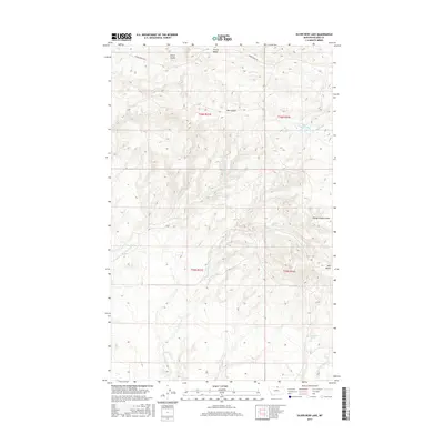
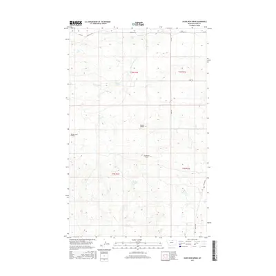
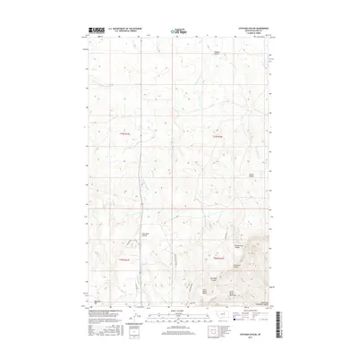
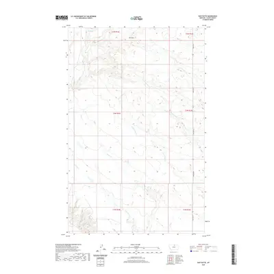
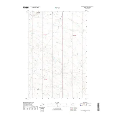
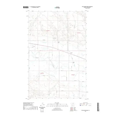
Historical Maps of Hays District Through Time
479 maps found

1903 Wayne Creek
Blaine County, MT
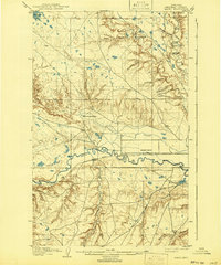
1904 Yantic
Blaine County, MT

1905 Wayne Creek
Blaine County, MT
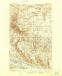
1913 Cherry Ridge
Blaine County, MT
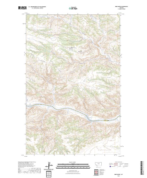
1954 Bird Rapids
Blaine County, MT
1954 Cow Island
Blaine County, MT
1954 Leroy
Blaine County, MT
1954 Sturgeon Island
Blaine County, MT
1956 Cleveland
Blaine County, MT
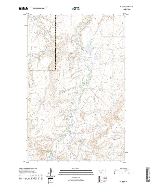
1956 Lloyd
Blaine County, MT
1956 Maddux
Blaine County, MT
1956 Rattlesnake
Blaine County, MT
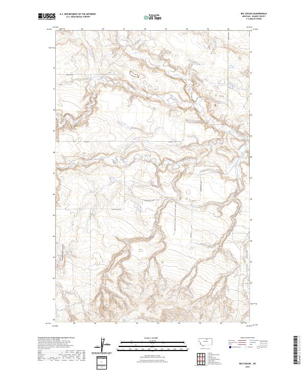
1964 Big Coulee
Blaine County, MT

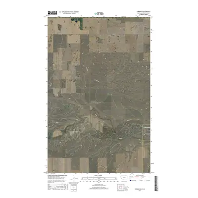
1964 Coburg
Blaine County, MT
1964 Fort Belknap Siding
Blaine County, MT
1964 Grable Coulee
Blaine County, MT
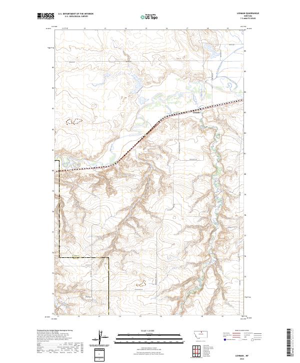
1964 Lohman
Blaine County, MT
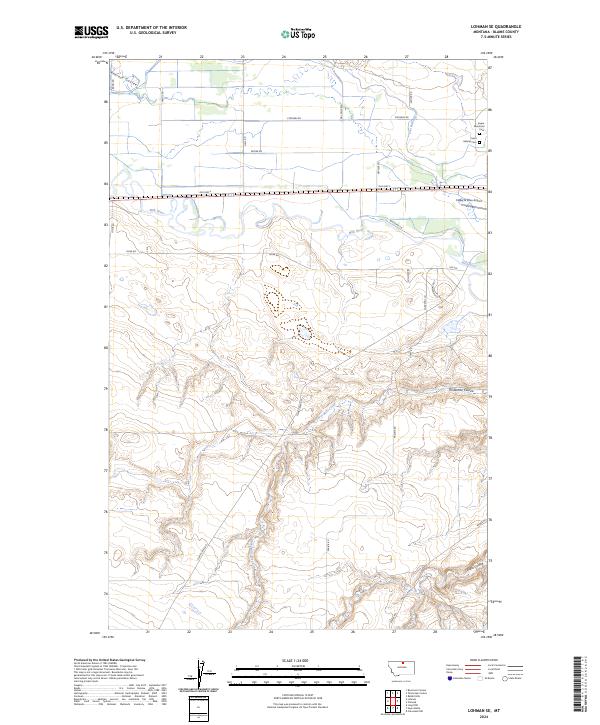
1964 Lohman SE
Blaine County, MT
1964 Rabbit Hills
Blaine County, MT
1964 Ragland Bench
Blaine County, MT
1964 Reservoir Coulee
Blaine County, MT
1964 Savoy
Blaine County, MT
1964 Telescope Coulee
Blaine County, MT

1964 Threemile Reservoir
Blaine County, MT
1964 Wayne Creek SE
Blaine County, MT

1964 Weigand Reservoir
Blaine County, MT
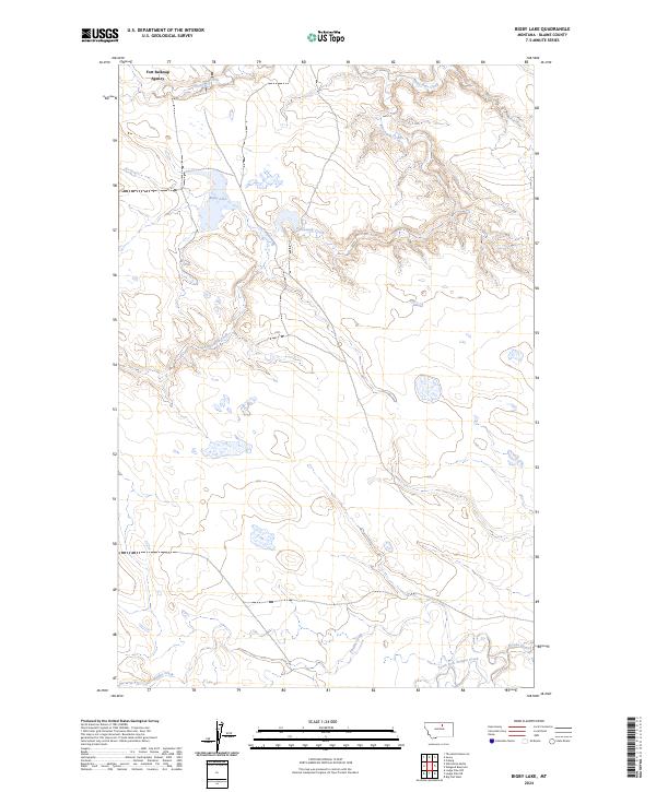
1971 Bigby Lake
Blaine County, MT
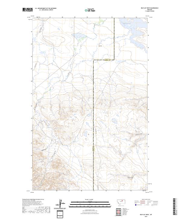
1971 Big Flat West
Blaine County, MT
1971 Crazyman Coulee
Blaine County, MT
1971 Fort Belknap Agency SE
Blaine County, MT
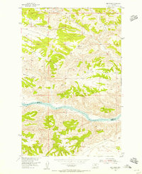
1971 John Coulee
Blaine County, MT
1971 Lake Seventeen East
Blaine County, MT
1971 Lake Seventeen NE
Blaine County, MT
1971 Lake Seventeen West
Blaine County, MT

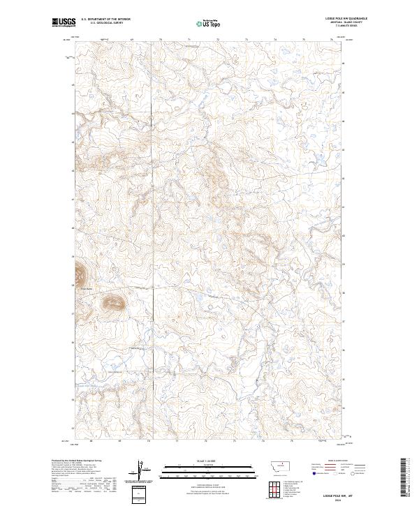
1971 Lodge Pole NE
Blaine County, MT
1971 Lodge Pole NW
Blaine County, MT
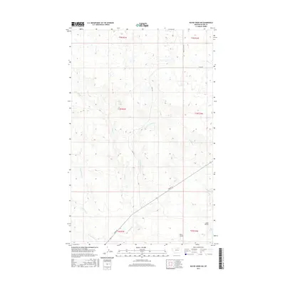
1971 Newhouse Reservoir
Blaine County, MT
1971 Putnam Lake
Blaine County, MT

1971 Stiffarm Coulee
Blaine County, MT
1971 Wild Horse Butte
Blaine County, MT
1984 Aubrey Dam
Blaine County, MT
1984 Down Reservoir NW
Blaine County, MT
1984 Down Reservoir SW
Blaine County, MT
1984 East Butte
Blaine County, MT

1984 Harlem NW
Blaine County, MT
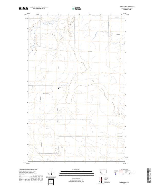
1984 Hogeland NW
Blaine County, MT
1984 Hogeland SE
Blaine County, MT
1984 Hornbeck Lake
Blaine County, MT
1984 Irvins Coulee
Blaine County, MT
1984 Mc Laren Reservoir
Blaine County, MT
1984 Mosquito Springs
Blaine County, MT
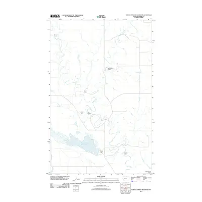
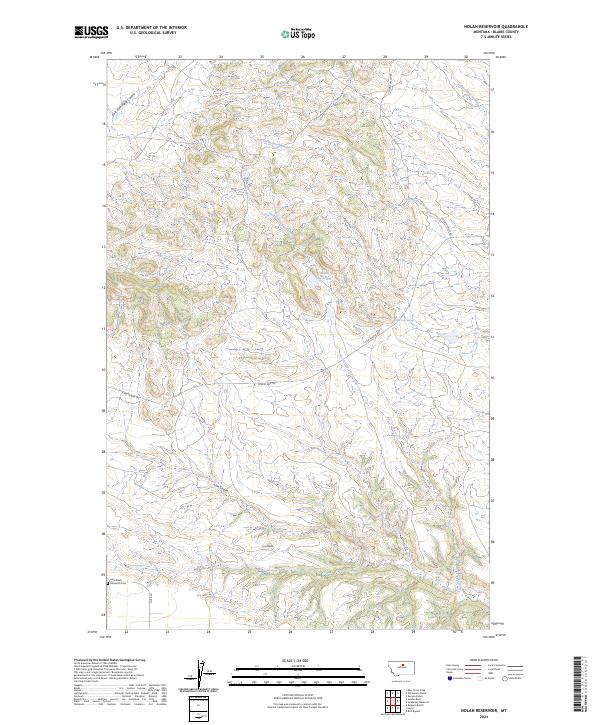
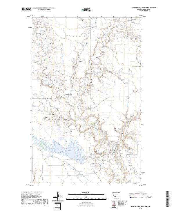
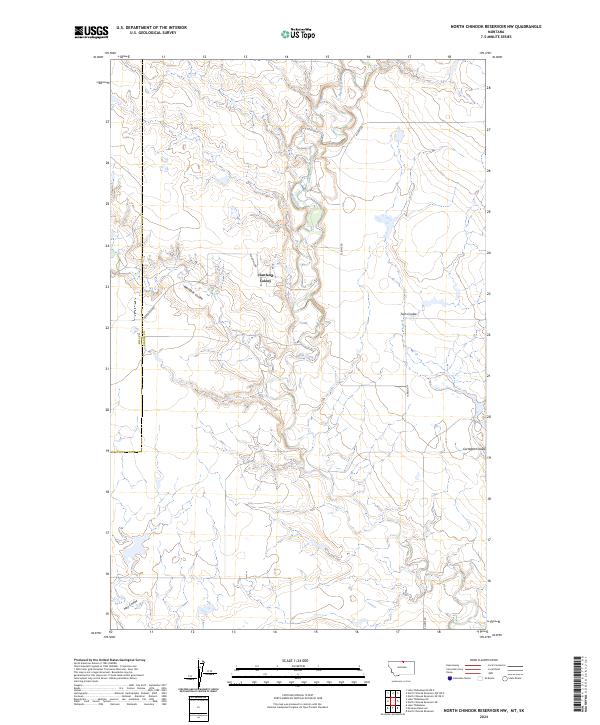
1984 North Chinook Reservoir
Blaine County, MT
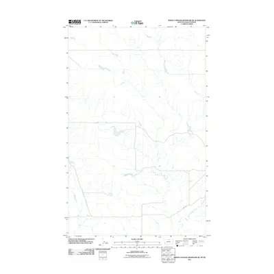
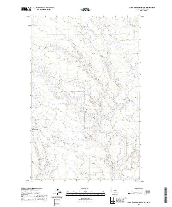
1984 North Chinook Reservoir NE
Blaine County, MT
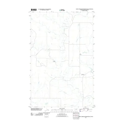
1984 North Chinook Reservoir NW
Blaine County, MT
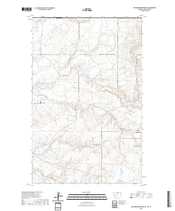
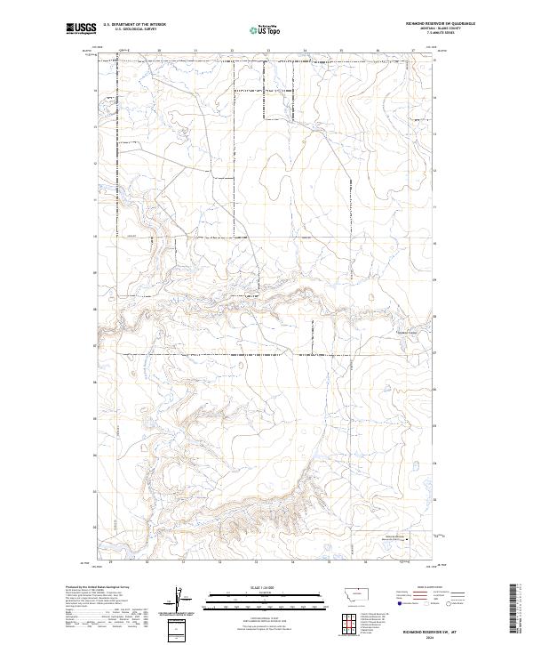
1984 Richmond Reservoir
Blaine County, MT
1984 Richmond Reservoir NE
Blaine County, MT
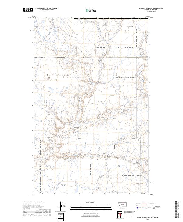
1984 Richmond Reservoir NW
Blaine County, MT
1984 Richmond Reservoir SW
Blaine County, MT
1984 Silver Bow Lake
Blaine County, MT
1984 Silver Bow Spring
Blaine County, MT
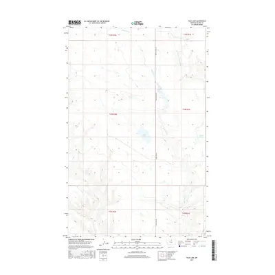
1984 Tule Lake
Blaine County, MT
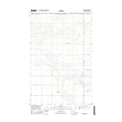
1984 Turner NE
Blaine County, MT
1984 Turner NW
Blaine County, MT
1984 Turner SE
Blaine County, MT
1984 Wayne Creek NW
Blaine County, MT
1985 Butch Reservoir
Blaine County, MT
1985 Nolan Reservoir
Blaine County, MT
1985 Saddle Rock
Blaine County, MT
1985 Sandpiper Reservoir
Blaine County, MT
1987 Barber Butte
Blaine County, MT
1987 Blue Stone Peak
Blaine County, MT
1987 Cleveland
Blaine County, MT
1987 Cleveland NE
Blaine County, MT
1987 Cleveland NW
Blaine County, MT
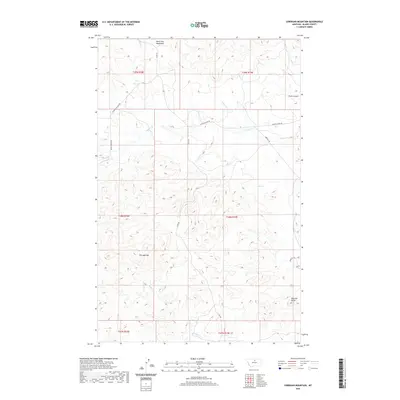
1987 Corrigan Mountain
Blaine County, MT
1987 Lloyd
Blaine County, MT
1987 Lloyd NW
Blaine County, MT
1987 Maddux
Blaine County, MT
1987 Miles Butte
Blaine County, MT
1987 Rattlesnake
Blaine County, MT
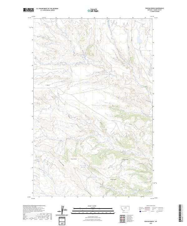
1987 Runyan Bench
Blaine County, MT
1987 Sayer Butte
Blaine County, MT
1987 Scotty Butte
Blaine County, MT
1987 Suction Butte
Blaine County, MT
1987 Williamson Butte
Blaine County, MT

1993 Rocky Boy
Blaine County, MT
2011 Aubrey Dam
Blaine County, MT
2011 Barber Butte
Blaine County, MT
2011 Bigby Lake
Blaine County, MT
2011 Big Coulee
Blaine County, MT
2011 Big Flat West
Blaine County, MT
2011 Bird Rapids
Blaine County, MT
2011 Blue Stone Peak
Blaine County, MT
2011 Butch Reservoir
Blaine County, MT
2011 Cleveland
Blaine County, MT
2011 Cleveland NE
Blaine County, MT
2011 Cleveland NW
Blaine County, MT
2011 Coburg
Blaine County, MT
2011 Corrigan Mountain
Blaine County, MT
2011 Cow Island
Blaine County, MT
2011 Crazyman Coulee
Blaine County, MT
2011 Down Reservoir NW
Blaine County, MT
2011 Down Reservoir SW
Blaine County, MT
2011 East Butte
Blaine County, MT
2011 Fort Belknap Agency SE
Blaine County, MT
2011 Fort Belknap Siding
Blaine County, MT
2011 Grable Coulee
Blaine County, MT
2011 Harlem NW
Blaine County, MT
2011 Hogeland NW
Blaine County, MT
2011 Hogeland SE
Blaine County, MT
2011 Hornbeck Lake
Blaine County, MT
2011 Irvins Coulee
Blaine County, MT
2011 John Coulee
Blaine County, MT
2011 Lake Seventeen East
Blaine County, MT
2011 Lake Seventeen NE
Blaine County, MT
2011 Lake Seventeen West
Blaine County, MT
2011 Leroy
Blaine County, MT
2011 Lloyd
Blaine County, MT
2011 Lloyd NW
Blaine County, MT
2011 Lodge Pole NE
Blaine County, MT
2011 Lodge Pole NW
Blaine County, MT
2011 Lohman
Blaine County, MT
2011 Lohman SE
Blaine County, MT
2011 Maddux
Blaine County, MT
2011 McLaren Reservoir
Blaine County, MT
2011 Miles Butte
Blaine County, MT
2011 Mosquito Springs
Blaine County, MT
2011 Newhouse Reservoir
Blaine County, MT
2011 Nolan Reservoir
Blaine County, MT
2011 North Chinook Reservoir
Blaine County, MT
2011 North Chinook Reservoir NE
Blaine County, MT
2011 North Chinook Reservoir NW
Blaine County, MT
2011 Putnam Lake
Blaine County, MT
2011 Rabbit Hills
Blaine County, MT
2011 Ragland Bench
Blaine County, MT
2011 Rattlesnake
Blaine County, MT
2011 Reservoir Coulee
Blaine County, MT
2011 Richmond Reservoir
Blaine County, MT
2011 Richmond Reservoir NE
Blaine County, MT
2011 Richmond Reservoir NW
Blaine County, MT
2011 Richmond Reservoir SW
Blaine County, MT
2011 Runyan Bench
Blaine County, MT
2011 Saddle Rock
Blaine County, MT
2011 Sandpiper Reservoir
Blaine County, MT
2011 Savoy
Blaine County, MT
2011 Sayer Butte
Blaine County, MT
2011 Scotty Butte
Blaine County, MT
2011 Silver Bow Lake
Blaine County, MT
2011 Silver Bow Spring
Blaine County, MT
2011 Stiffarm Coulee
Blaine County, MT
2011 Sturgeon Island
Blaine County, MT
2011 Suction Butte
Blaine County, MT
2011 Telescope Coulee
Blaine County, MT
2011 Threemile Reservoir
Blaine County, MT
2011 Tule Lake
Blaine County, MT
2011 Turner NE
Blaine County, MT
2011 Turner NW
Blaine County, MT

2011 Turner SE
Blaine County, MT
2011 Wayne Creek NW
Blaine County, MT
2011 Wayne Creek SE
Blaine County, MT
2011 Weigand Reservoir
Blaine County, MT
2011 Wild Horse Butte
Blaine County, MT
2011 Williamson Butte
Blaine County, MT
2014 Aubrey Dam
Blaine County, MT
2014 Barber Butte
Blaine County, MT
2014 Bigby Lake
Blaine County, MT
2014 Big Coulee
Blaine County, MT
2014 Big Flat West
Blaine County, MT
2014 Bird Rapids
Blaine County, MT
2014 Blue Stone Peak
Blaine County, MT
2014 Butch Reservoir
Blaine County, MT
2014 Cleveland
Blaine County, MT
2014 Cleveland NE
Blaine County, MT
2014 Cleveland NW
Blaine County, MT
2014 Coburg
Blaine County, MT
2014 Corrigan Mountain
Blaine County, MT
2014 Cow Island
Blaine County, MT
2014 Crazyman Coulee
Blaine County, MT
2014 Down Reservoir NW
Blaine County, MT
2014 Down Reservoir SW
Blaine County, MT
2014 East Butte
Blaine County, MT
2014 Fort Belknap Agency SE
Blaine County, MT
2014 Fort Belknap Siding
Blaine County, MT
2014 Grable Coulee
Blaine County, MT
2014 Harlem NW
Blaine County, MT
2014 Hogeland NW
Blaine County, MT
2014 Hogeland SE
Blaine County, MT
2014 Hornbeck Lake
Blaine County, MT
2014 Irvins Coulee
Blaine County, MT
2014 John Coulee
Blaine County, MT
2014 Lake Seventeen East
Blaine County, MT
2014 Lake Seventeen NE
Blaine County, MT
2014 Lake Seventeen West
Blaine County, MT
2014 Leroy
Blaine County, MT
2014 Lloyd
Blaine County, MT
2014 Lloyd NW
Blaine County, MT
2014 Lodge Pole NE
Blaine County, MT

2014 Lodge Pole NW
Blaine County, MT
2014 Lohman
Blaine County, MT
2014 Lohman SE
Blaine County, MT
2014 Maddux
Blaine County, MT
2014 McLaren Reservoir
Blaine County, MT
2014 Miles Butte
Blaine County, MT
2014 Mosquito Springs
Blaine County, MT
2014 Newhouse Reservoir
Blaine County, MT

2014 Nolan Reservoir
Blaine County, MT
2014 North Chinook Reservoir
Blaine County, MT
2014 North Chinook Reservoir NE
Blaine County, MT
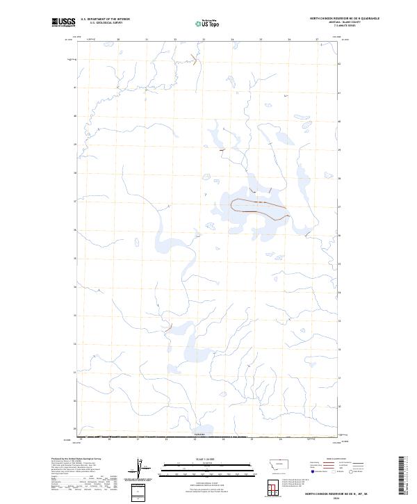
2014 North Chinook Reservoir NE OE N
Blaine County, MT
2014 North Chinook Reservoir NW
Blaine County, MT
2014 North Chinook Reservoir NW OE N
Blaine County, MT
2014 Putnam Lake
Blaine County, MT
2014 Rabbit Hills
Blaine County, MT
2014 Ragland Bench
Blaine County, MT
2014 Rattlesnake
Blaine County, MT
2014 Reservoir Coulee
Blaine County, MT
2014 Richmond Reservoir
Blaine County, MT
2014 Richmond Reservoir NE
Blaine County, MT
2014 Richmond Reservoir NW
Blaine County, MT
2014 Richmond Reservoir SW
Blaine County, MT
2014 Runyan Bench
Blaine County, MT
2014 Saddle Rock
Blaine County, MT
2014 Sandpiper Reservoir
Blaine County, MT
2014 Savoy
Blaine County, MT
2014 Sayer Butte
Blaine County, MT
2014 Scotty Butte
Blaine County, MT

2014 Silver Bow Lake
Blaine County, MT
2014 Silver Bow Spring
Blaine County, MT
2014 Stiffarm Coulee
Blaine County, MT
2014 Sturgeon Island
Blaine County, MT
2014 Suction Butte
Blaine County, MT
2014 Telescope Coulee
Blaine County, MT
2014 Threemile Reservoir
Blaine County, MT
2014 Tule Lake
Blaine County, MT
2014 Turner NE
Blaine County, MT
2014 Turner NW
Blaine County, MT
2014 Turner SE
Blaine County, MT
2014 Wayne Creek NW
Blaine County, MT
2014 Wayne Creek SE
Blaine County, MT
2014 Weigand Reservoir
Blaine County, MT
2014 Wild Horse Butte
Blaine County, MT
2014 Williamson Butte
Blaine County, MT
2017 Aubrey Dam
Blaine County, MT
2017 Barber Butte
Blaine County, MT
2017 Bigby Lake
Blaine County, MT
2017 Big Coulee
Blaine County, MT
2017 Big Flat West
Blaine County, MT
2017 Bird Rapids
Blaine County, MT
2017 Blue Stone Peak
Blaine County, MT
2017 Butch Reservoir
Blaine County, MT
2017 Cleveland
Blaine County, MT
2017 Cleveland NE
Blaine County, MT
2017 Cleveland NW
Blaine County, MT
2017 Coburg
Blaine County, MT
2017 Corrigan Mountain
Blaine County, MT
2017 Cow Island
Blaine County, MT
2017 Crazyman Coulee
Blaine County, MT
2017 Down Reservoir NW
Blaine County, MT
2017 Down Reservoir SW
Blaine County, MT
2017 East Butte
Blaine County, MT
2017 Fort Belknap Agency SE
Blaine County, MT
2017 Fort Belknap Siding
Blaine County, MT
2017 Grable Coulee
Blaine County, MT
2017 Harlem NW
Blaine County, MT
2017 Hogeland NW
Blaine County, MT
2017 Hogeland SE
Blaine County, MT
2017 Hornbeck Lake
Blaine County, MT
2017 Irvins Coulee
Blaine County, MT
2017 John Coulee
Blaine County, MT
2017 Lake Seventeen East
Blaine County, MT
2017 Lake Seventeen NE
Blaine County, MT
2017 Lake Seventeen West
Blaine County, MT
2017 Leroy
Blaine County, MT
2017 Lloyd
Blaine County, MT
2017 Lloyd NW
Blaine County, MT
2017 Lodge Pole NE
Blaine County, MT
2017 Lodge Pole NW
Blaine County, MT
2017 Lohman
Blaine County, MT
2017 Lohman SE
Blaine County, MT
2017 Maddux
Blaine County, MT
2017 McLaren Reservoir
Blaine County, MT
2017 Miles Butte
Blaine County, MT
2017 Mosquito Springs
Blaine County, MT
2017 Newhouse Reservoir
Blaine County, MT
2017 Nolan Reservoir
Blaine County, MT
2017 North Chinook Reservoir
Blaine County, MT
2017 North Chinook Reservoir NE
Blaine County, MT
2017 North Chinook Reservoir NE OE N
Blaine County, MT
2017 North Chinook Reservoir NW
Blaine County, MT
2017 North Chinook Reservoir NW OE N
Blaine County, MT
2017 Putnam Lake
Blaine County, MT
2017 Rabbit Hills
Blaine County, MT
2017 Ragland Bench
Blaine County, MT
2017 Rattlesnake
Blaine County, MT
2017 Reservoir Coulee
Blaine County, MT
2017 Richmond Reservoir
Blaine County, MT
2017 Richmond Reservoir NE
Blaine County, MT
2017 Richmond Reservoir NW
Blaine County, MT
2017 Richmond Reservoir SW
Blaine County, MT
2017 Runyan Bench
Blaine County, MT
2017 Saddle Rock
Blaine County, MT
2017 Sandpiper Reservoir
Blaine County, MT
2017 Savoy
Blaine County, MT
2017 Sayer Butte
Blaine County, MT
2017 Scotty Butte
Blaine County, MT
2017 Silver Bow Lake
Blaine County, MT
2017 Silver Bow Spring
Blaine County, MT
2017 Stiffarm Coulee
Blaine County, MT
2017 Sturgeon Island
Blaine County, MT
2017 Suction Butte
Blaine County, MT
2017 Telescope Coulee
Blaine County, MT
2017 Threemile Reservoir
Blaine County, MT
2017 Tule Lake
Blaine County, MT
2017 Turner NE
Blaine County, MT
2017 Turner NW
Blaine County, MT

2017 Turner SE
Blaine County, MT
2017 Wayne Creek NW
Blaine County, MT
2017 Wayne Creek SE
Blaine County, MT
2017 Weigand Reservoir
Blaine County, MT
2017 Wild Horse Butte
Blaine County, MT
2017 Williamson Butte
Blaine County, MT
2020 Aubrey Dam
Blaine County, MT
2020 Barber Butte
Blaine County, MT
2020 Bigby Lake
Blaine County, MT
2020 Big Coulee
Blaine County, MT
2020 Big Flat West
Blaine County, MT
2020 Bird Rapids
Blaine County, MT
2020 Blue Stone Peak
Blaine County, MT
2020 Butch Reservoir
Blaine County, MT
2020 Cleveland
Blaine County, MT
2020 Cleveland NE
Blaine County, MT
2020 Cleveland NW
Blaine County, MT
2020 Coburg
Blaine County, MT
2020 Corrigan Mountain
Blaine County, MT
2020 Cow Island
Blaine County, MT
2020 Crazyman Coulee
Blaine County, MT
2020 Down Reservoir NW
Blaine County, MT
2020 Down Reservoir SW
Blaine County, MT
2020 East Butte
Blaine County, MT
2020 Fort Belknap Agency SE
Blaine County, MT
2020 Fort Belknap Siding
Blaine County, MT
2020 Grable Coulee
Blaine County, MT
2020 Harlem NW
Blaine County, MT
2020 Hogeland NW
Blaine County, MT
2020 Hogeland SE
Blaine County, MT
2020 Hornbeck Lake
Blaine County, MT
2020 Irvins Coulee
Blaine County, MT
2020 John Coulee
Blaine County, MT
2020 Lake Seventeen East
Blaine County, MT
2020 Lake Seventeen NE
Blaine County, MT
2020 Lake Seventeen West
Blaine County, MT
2020 Leroy
Blaine County, MT
2020 Lloyd
Blaine County, MT
2020 Lloyd NW
Blaine County, MT
2020 Lodge Pole NE
Blaine County, MT
2020 Lodge Pole NW
Blaine County, MT
2020 Lohman
Blaine County, MT
2020 Lohman SE
Blaine County, MT

2020 Maddux
Blaine County, MT
2020 McLaren Reservoir
Blaine County, MT
2020 Miles Butte
Blaine County, MT
2020 Mosquito Springs
Blaine County, MT
2020 Newhouse Reservoir
Blaine County, MT
2020 Nolan Reservoir
Blaine County, MT
2020 North Chinook Reservoir
Blaine County, MT
2020 North Chinook Reservoir NE
Blaine County, MT
2020 North Chinook Reservoir NE OE N
Blaine County, MT
2020 North Chinook Reservoir NW
Blaine County, MT
2020 North Chinook Reservoir NW OE N
Blaine County, MT
2020 Putnam Lake
Blaine County, MT
2020 Rabbit Hills
Blaine County, MT
2020 Ragland Bench
Blaine County, MT
2020 Rattlesnake
Blaine County, MT
2020 Reservoir Coulee
Blaine County, MT
2020 Richmond Reservoir
Blaine County, MT
2020 Richmond Reservoir NE
Blaine County, MT
2020 Richmond Reservoir NW
Blaine County, MT
2020 Richmond Reservoir SW
Blaine County, MT
2020 Runyan Bench
Blaine County, MT
2020 Saddle Rock
Blaine County, MT
2020 Sandpiper Reservoir
Blaine County, MT
2020 Savoy
Blaine County, MT
2020 Sayer Butte
Blaine County, MT
2020 Scotty Butte
Blaine County, MT
2020 Silver Bow Lake
Blaine County, MT
2020 Silver Bow Spring
Blaine County, MT
2020 Stiffarm Coulee
Blaine County, MT
2020 Sturgeon Island
Blaine County, MT
2020 Suction Butte
Blaine County, MT
2020 Telescope Coulee
Blaine County, MT
2020 Threemile Reservoir
Blaine County, MT
2020 Tule Lake
Blaine County, MT
2020 Turner NE
Blaine County, MT
2020 Turner NW
Blaine County, MT
2020 Turner SE
Blaine County, MT
2020 Wayne Creek NW
Blaine County, MT
2020 Wayne Creek SE
Blaine County, MT
2020 Weigand Reservoir
Blaine County, MT
2020 Wild Horse Butte
Blaine County, MT
2020 Williamson Butte
Blaine County, MT
2024 Aubrey Dam
Blaine County, MT
2024 Barber Butte
Blaine County, MT
2024 Bigby Lake
Blaine County, MT
2024 Big Coulee
Blaine County, MT
2024 Big Flat West
Blaine County, MT
2024 Bird Rapids
Blaine County, MT
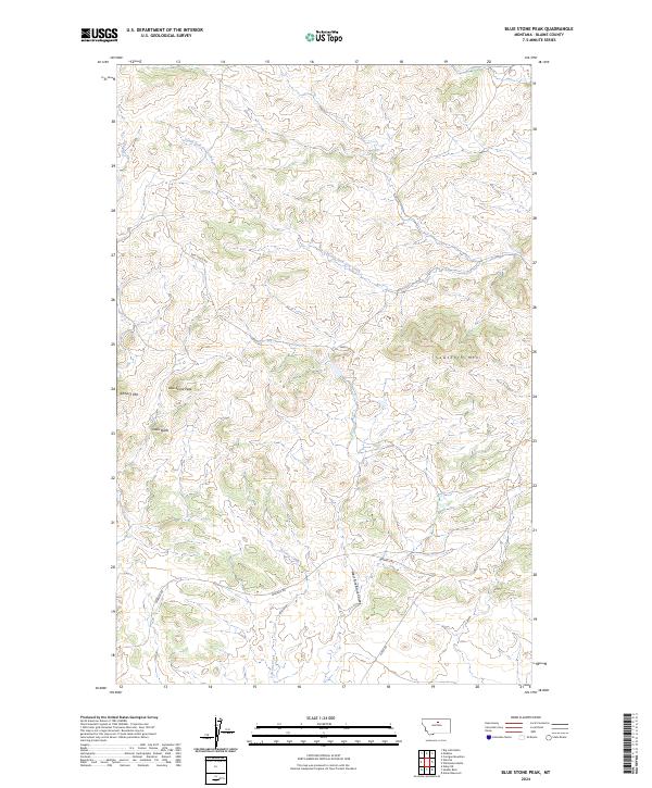
2024 Blue Stone Peak
Blaine County, MT
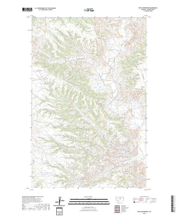
2024 Butch Reservoir
Blaine County, MT
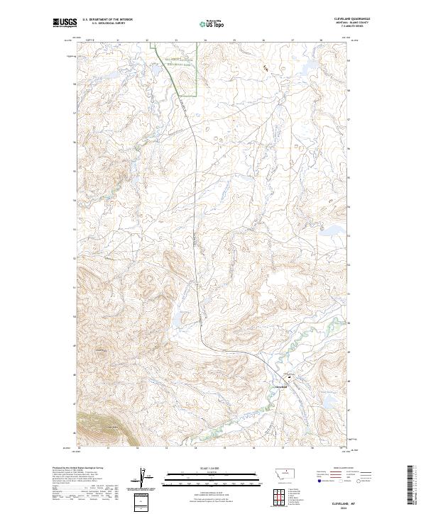
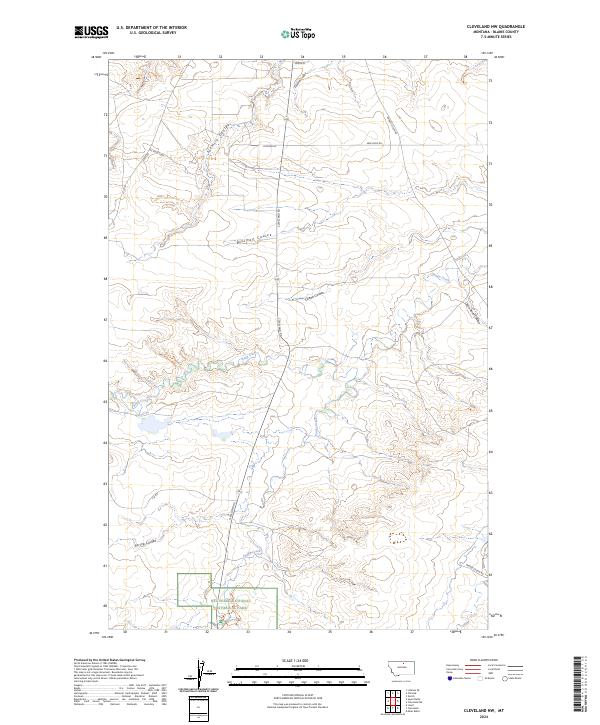
2024 Cleveland
Blaine County, MT
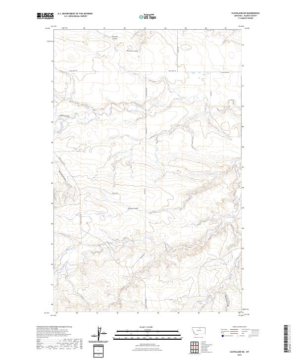
2024 Cleveland NE
Blaine County, MT
2024 Cleveland NW
Blaine County, MT
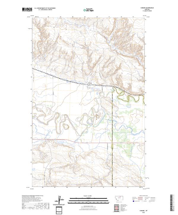
2024 Coburg
Blaine County, MT
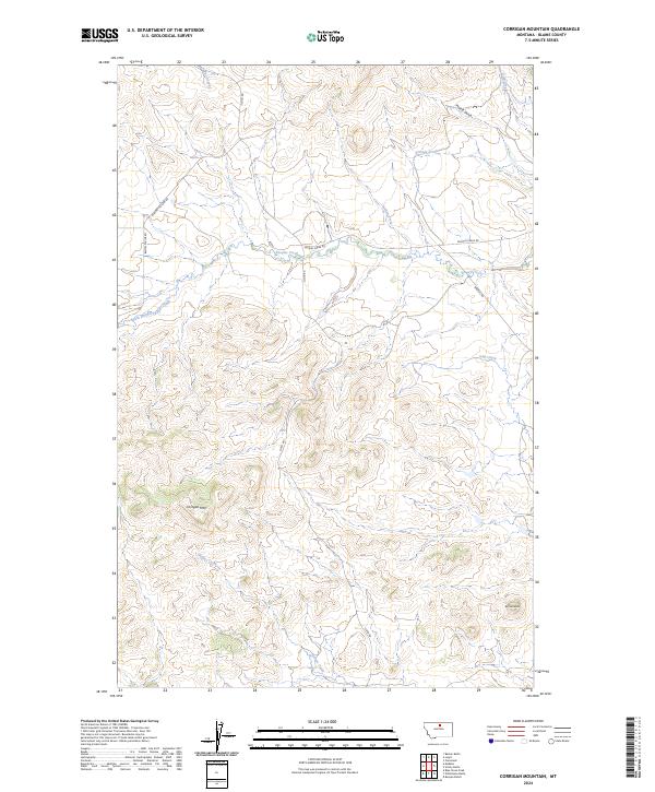
2024 Corrigan Mountain
Blaine County, MT
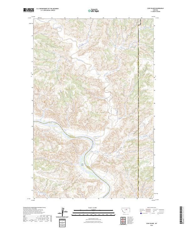
2024 Cow Island
Blaine County, MT
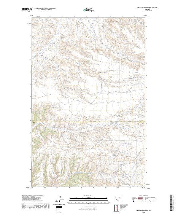
2024 Crazyman Coulee
Blaine County, MT
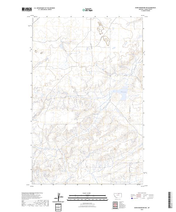
2024 Down Reservoir NW
Blaine County, MT
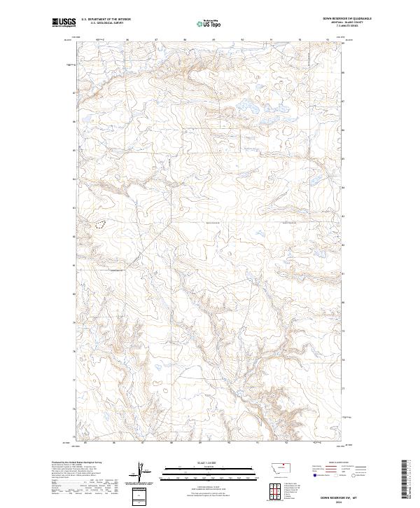
2024 Down Reservoir SW
Blaine County, MT
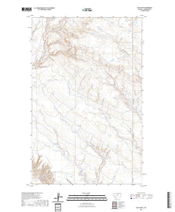
2024 East Butte
Blaine County, MT
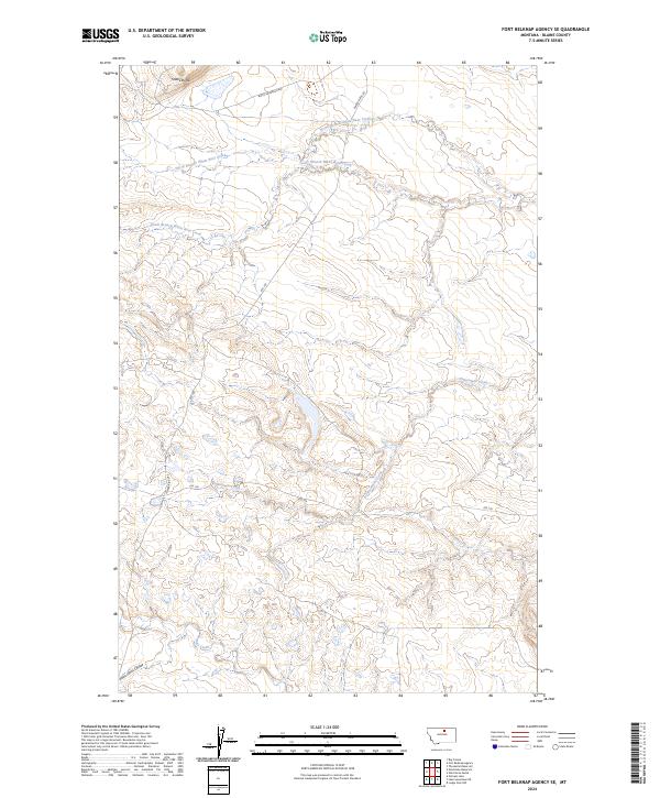
2024 Fort Belknap Agency SE
Blaine County, MT
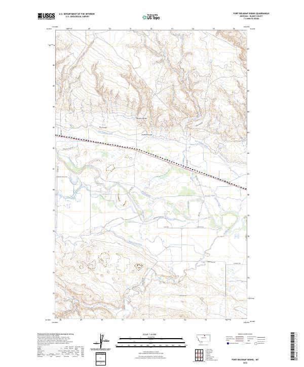
2024 Fort Belknap Siding
Blaine County, MT

2024 Grable Coulee
Blaine County, MT
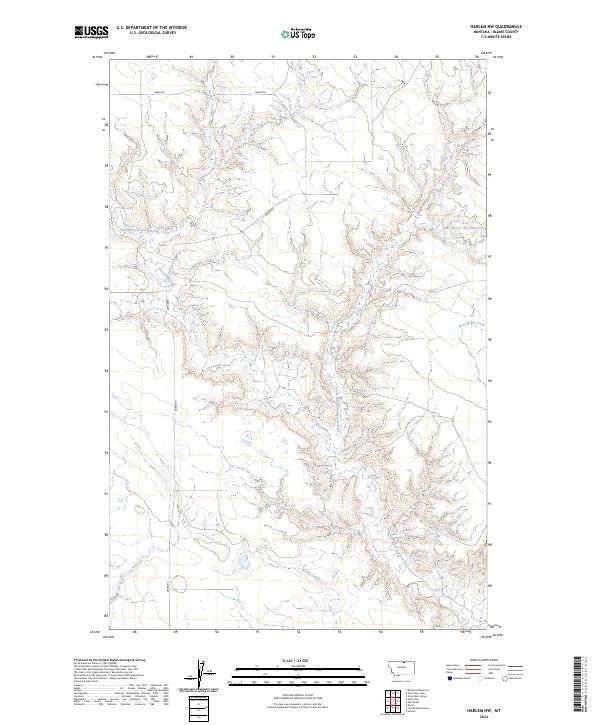
2024 Harlem NW
Blaine County, MT
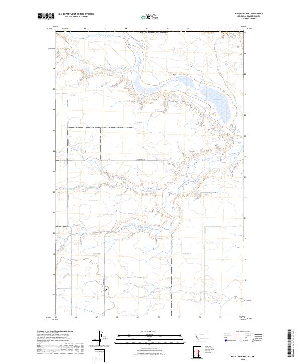
2024 Hogeland NW
Blaine County, MT
2024 Hogeland SE
Blaine County, MT
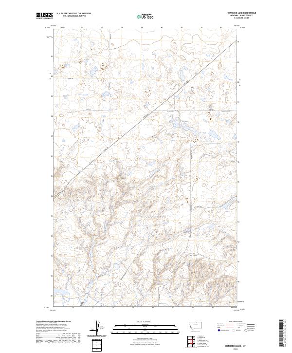
2024 Hornbeck Lake
Blaine County, MT
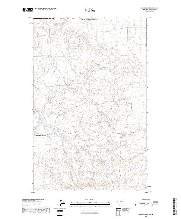
2024 Irvins Coulee
Blaine County, MT
2024 John Coulee
Blaine County, MT
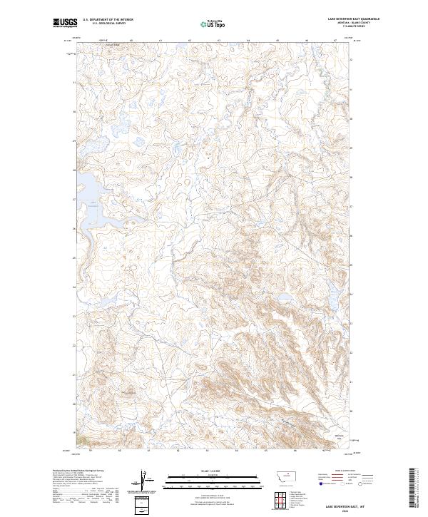
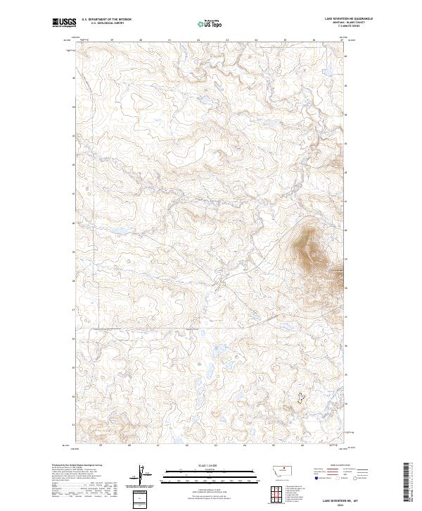
2024 Lake Seventeen East
Blaine County, MT
2024 Lake Seventeen NE
Blaine County, MT
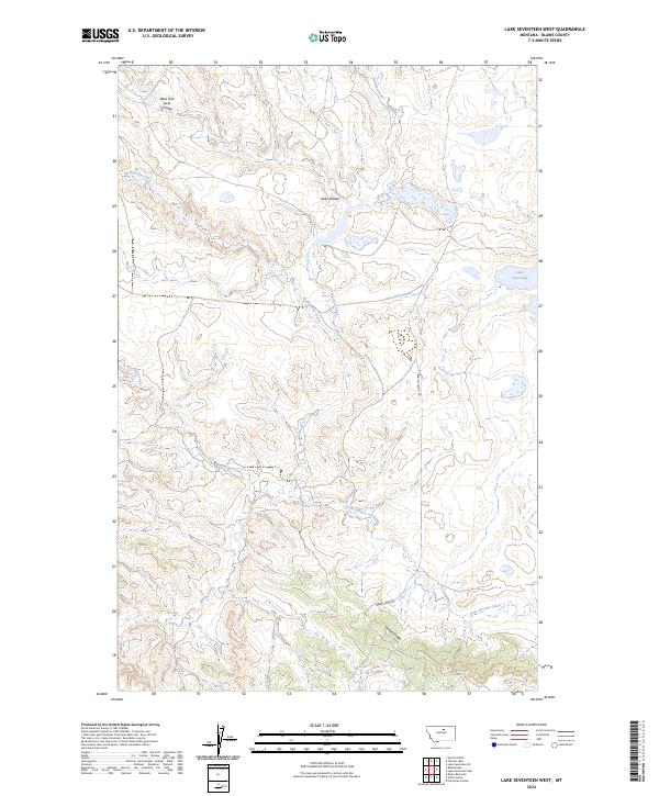
2024 Lake Seventeen West
Blaine County, MT
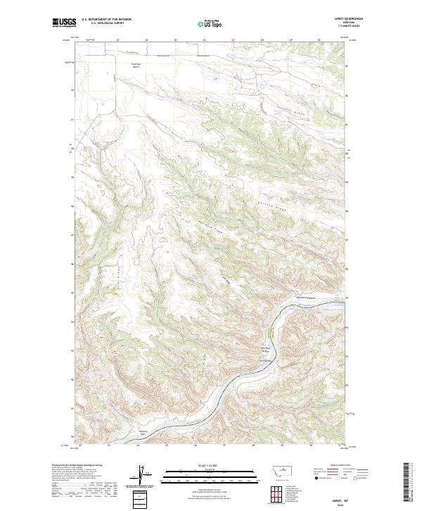
2024 Leroy
Blaine County, MT
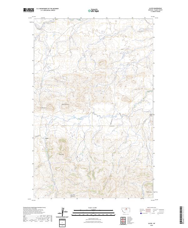
2024 Lloyd
Blaine County, MT
2024 Lloyd NW
Blaine County, MT

2024 Lodge Pole NE
Blaine County, MT
2024 Lodge Pole NW
Blaine County, MT
2024 Lohman
Blaine County, MT
2024 Lohman SE
Blaine County, MT
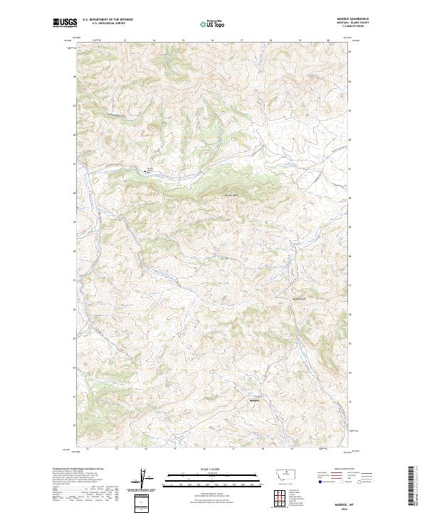
2024 Maddux
Blaine County, MT
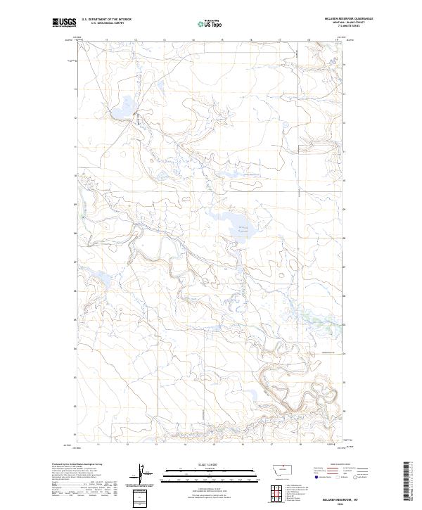
2024 McLaren Reservoir
Blaine County, MT
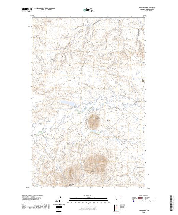
2024 Miles Butte
Blaine County, MT
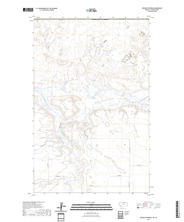
2024 Mosquito Springs
Blaine County, MT

2024 Newhouse Reservoir
Blaine County, MT
2024 Nolan Reservoir
Blaine County, MT
2024 North Chinook Reservoir
Blaine County, MT
2024 North Chinook Reservoir NE
Blaine County, MT
2024 North Chinook Reservoir NE OE N
Blaine County, MT
2024 North Chinook Reservoir NW
Blaine County, MT
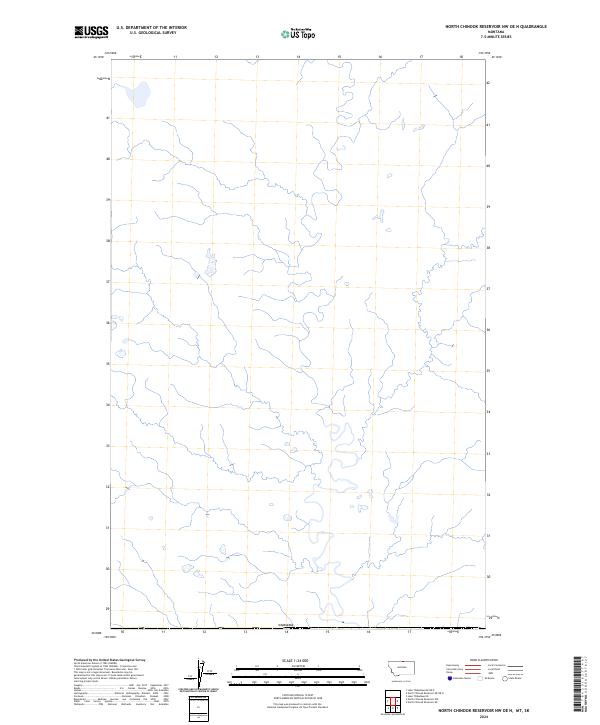
2024 North Chinook Reservoir NW OE N
Blaine County, MT
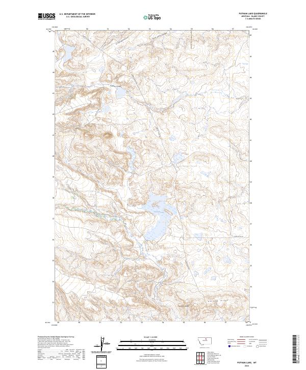
2024 Putnam Lake
Blaine County, MT
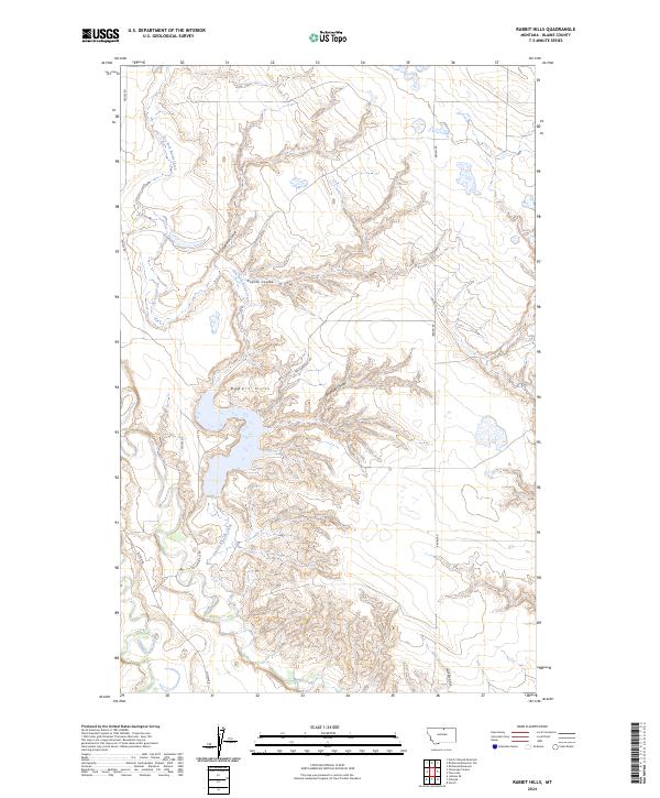
2024 Rabbit Hills
Blaine County, MT
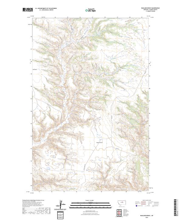
2024 Ragland Bench
Blaine County, MT
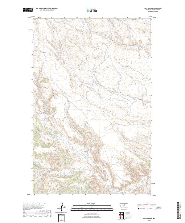
2024 Rattlesnake
Blaine County, MT
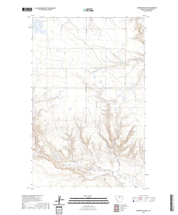
2024 Reservoir Coulee
Blaine County, MT
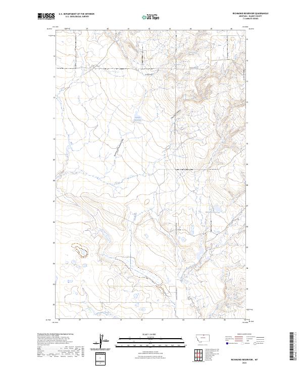
2024 Richmond Reservoir
Blaine County, MT
2024 Richmond Reservoir NE
Blaine County, MT
2024 Richmond Reservoir NW
Blaine County, MT
2024 Richmond Reservoir SW
Blaine County, MT
2024 Runyan Bench
Blaine County, MT
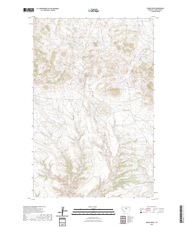
2024 Saddle Rock
Blaine County, MT
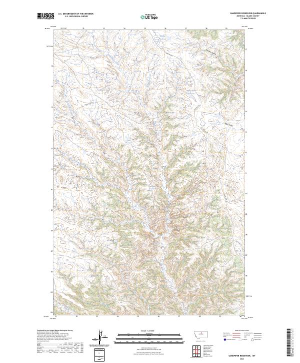
2024 Sandpiper Reservoir
Blaine County, MT
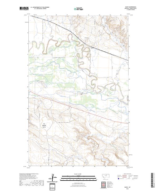
2024 Savoy
Blaine County, MT
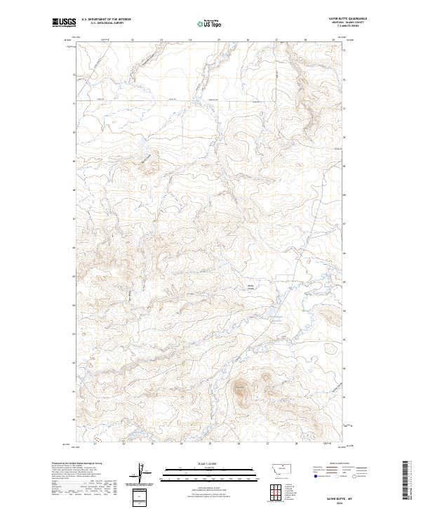
2024 Sayer Butte
Blaine County, MT
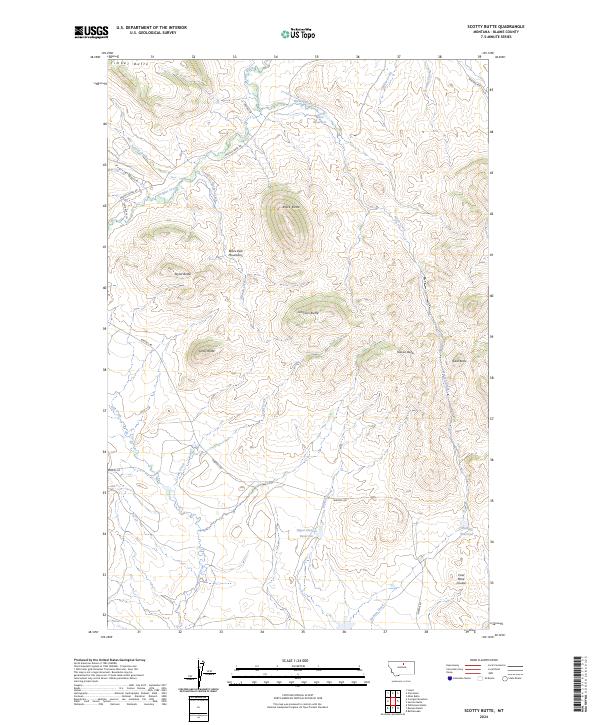
2024 Scotty Butte
Blaine County, MT
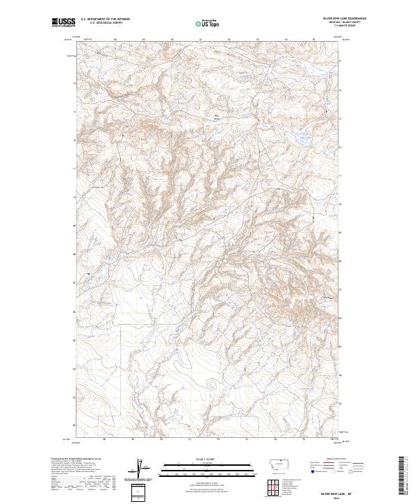
2024 Silver Bow Lake
Blaine County, MT
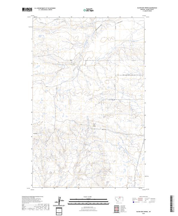
2024 Silver Bow Spring
Blaine County, MT
2024 Stiffarm Coulee
Blaine County, MT
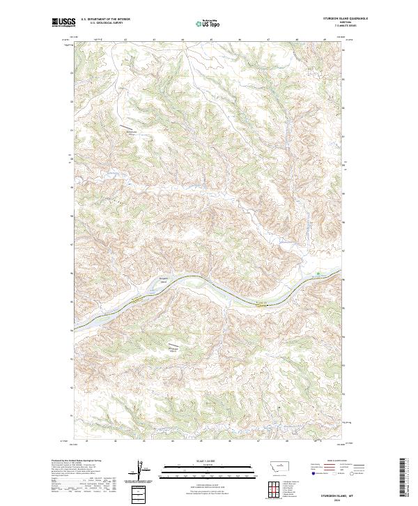
2024 Sturgeon Island
Blaine County, MT
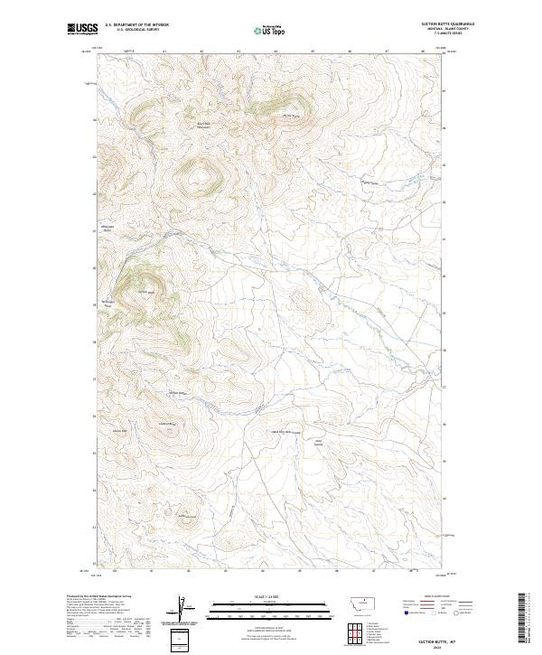
2024 Suction Butte
Blaine County, MT
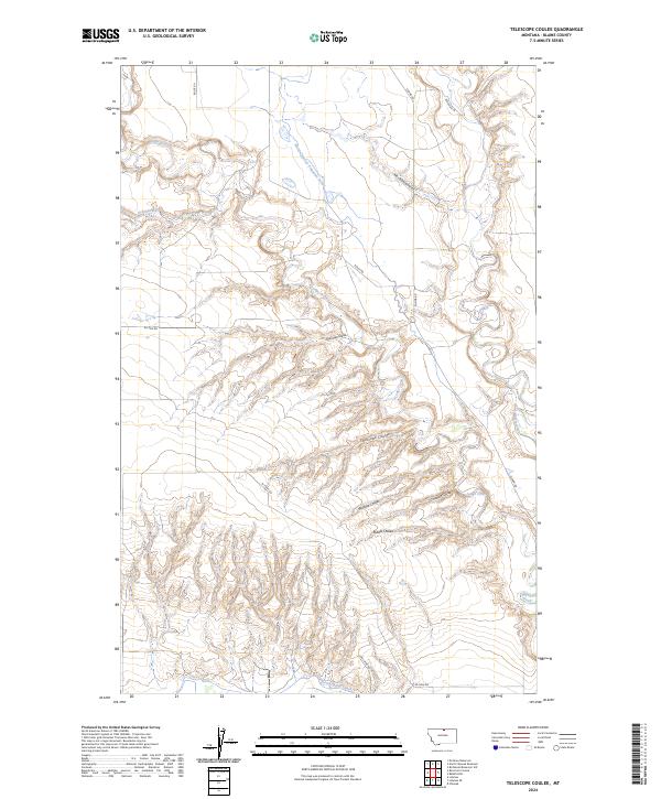
2024 Telescope Coulee
Blaine County, MT
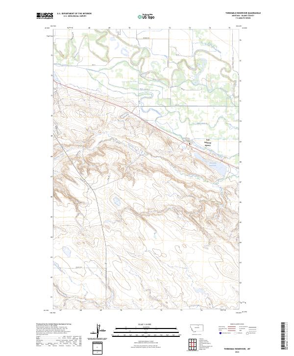
2024 Threemile Reservoir
Blaine County, MT
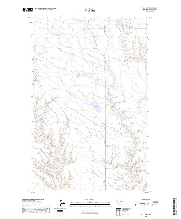
2024 Tule Lake
Blaine County, MT
2024 Turner NE
Blaine County, MT
2024 Turner NW
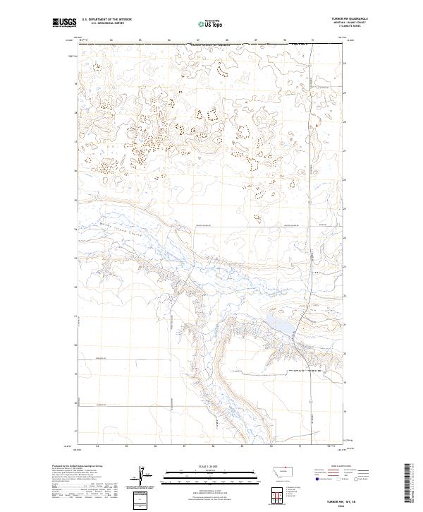
Blaine County, MT
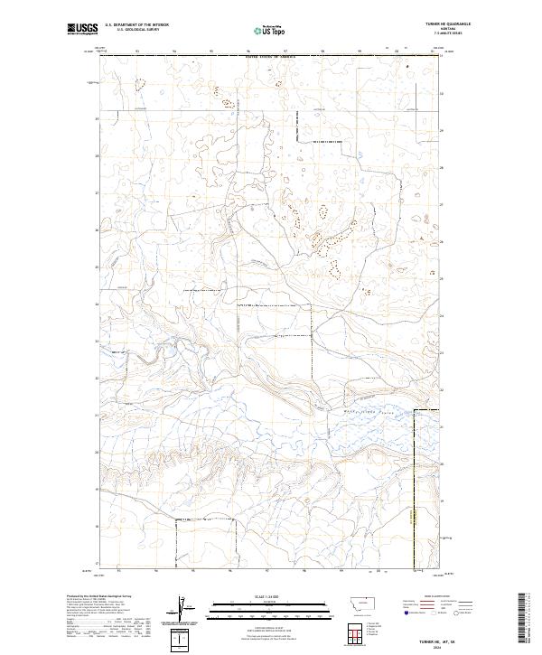
2024 Turner SE
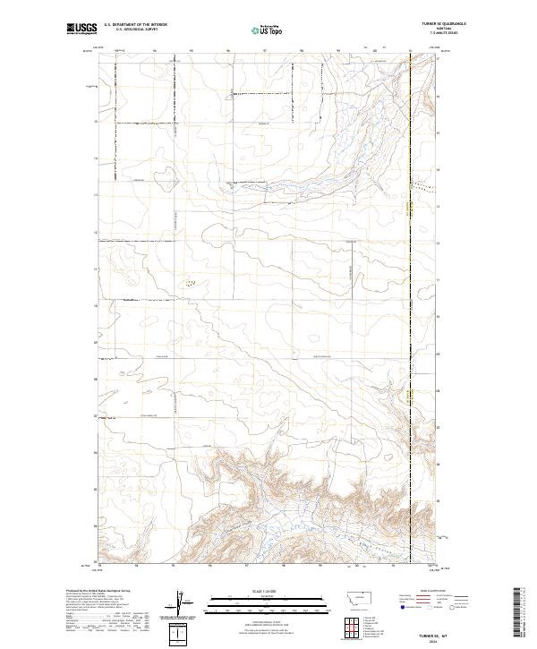
Blaine County, MT
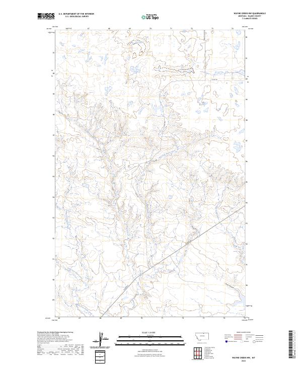
2024 Wayne Creek NW
Blaine County, MT
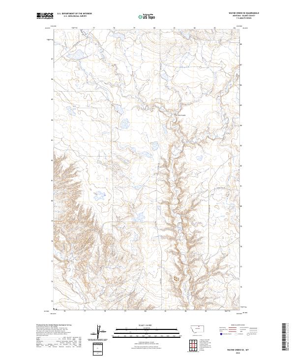
2024 Wayne Creek SE
Blaine County, MT
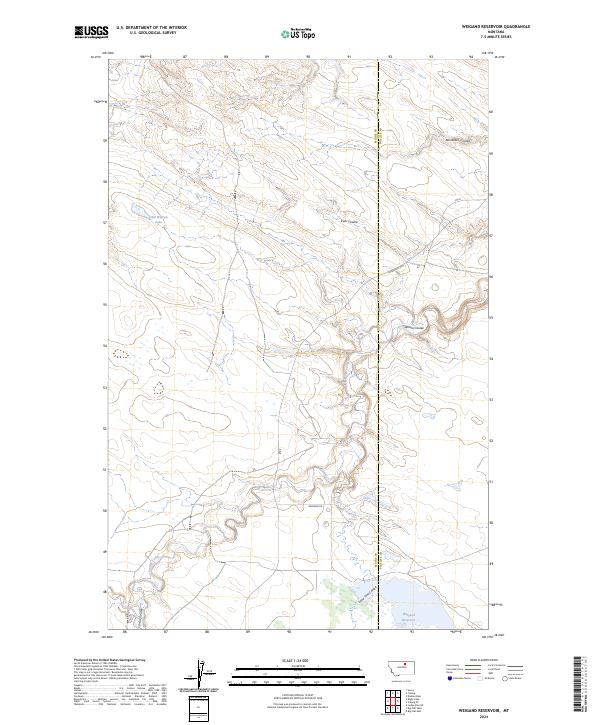
2024 Weigand Reservoir
Blaine County, MT
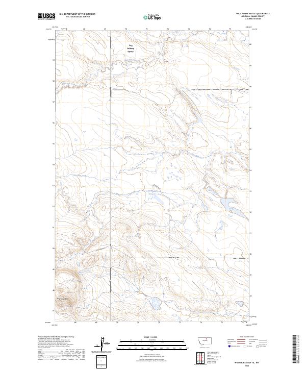
2024 Wild Horse Butte
Blaine County, MT
2024 Williamson Butte
Blaine County, MT