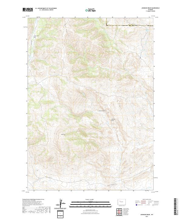
2021 Map of Johnson Draw
USGS Topo · Published 2021About this map
Crow Creek Basin and the southern reaches of the Absaroka Range dominate this portion of the Wyoming landscape along the border of Fremont and Hot Springs counties. The terrain is defined by high-elevation landforms including Trail Ridge and Black Mtn, where water sources like Bald Mountain Spring and Pasup Spring provided critical resources in an arid environment. A network of ephemeral drainages such as Dry Creek and Red Creek carve through the geography, eventually feeding into the larger Johnson Draw. Modern access is limited to thoroughfares like Crow Creek Rd and Maverick Springs Rd, which skirt the lower elevations and basins. This survey illustrates the intricate drainage patterns and topographic relief typical of the region's high-desert canyons and ridges.
Find a feature on this map
20 named features on this map. Tap any name to fly to it.
Don’t see what you’re looking for? This feature index may not catch every label — zoom into the map to look around manually.
Map Details
Editions of this 2021 Johnson Draw Map
This is the sole edition of this map. No revisions or reprints were ever made.
Other maps of this area

1904 · Kirwin
USGS Topo · 1:125,000

1906 · Kirwin
USGS Topo · 1:125,000

1952 · Wilderness
USGS Topo · 1:24,000

1952 · Crowheart NW
USGS Topo · 1:24,000

1952 · Crowheart NE
USGS Topo · 1:24,000

1955 · Thermopolis
USGS Topo · 1:250,000

1957 · Crowheart NE
USGS Topo · 1:24,000

1958 · Thermopolis
USGS Topo · 1:250,000

1962 · Thermopolis
USGS Topo · 1:250,000

1967 · Willow Creek
USGS Topo · 1:24,000