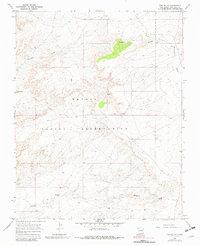
1966 Map of The Pillar
USGS Topo · Published 1982About this map
The Navajo Indian Reservation defines this arid landscape of northwestern New Mexico, characterized by a complex network of dry washes and high mesas. The terrain is marked by distinctive geological features such as The Pillar and the broad expanse of Moncisco Mesa, illustrating the stark topography of San Juan County during the mid-1960s. Resource extraction is evident through the presence of the Bisti Field and scattered Oil Wells, highlighting the intersection of indigenous land and energy development. Drainage patterns are dominated by the Pinabete Arroyo and Brimhall Wash, which provide critical reference points for understanding the hydrology of this high-desert environment. These ephemeral watercourses, alongside an isolated Spring, underscore the challenges of settlement and land use in a region where water is the primary sculptor of the earth.
Find a feature on this map
9 named features on this map. Tap any name to fly to it.
Don’t see what you’re looking for? This feature index may not catch every label — zoom into the map to look around manually.
Map Details
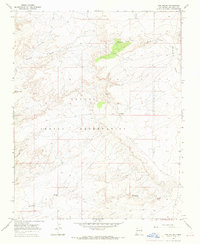
Editions of this 1966 The Pillar Map
2 editions found
Other maps of this area

1889 · Chaco
USGS Topo · 1:250,000

1892 · Chaco
USGS Topo · 1:250,000

1927 · Sulphur Spring
USGS Topo · 1:96,000

1928 · Kirtland
USGS Topo · 1:125,000

1932 · Kirtland
USGS Topo · 1:125,000

1954 · Shiprock
USGS Topo · 1:250,000

1958 · Shiprock
USGS Topo · 1:250,000

1959 · Shiprock
USGS Topo · 1:250,000
1965 · Hugh Lake
USGS Topo · 1:24,000
1966 · Alamo Mesa West
USGS Topo · 1:24,000