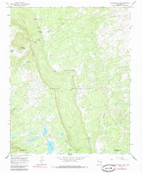
1966 Map of Washington Pass
USGS Topo · Published 1985About this map
The Navajo Indian Reservation landscape is defined by the high-elevation drainage divide of the Chuska Mountains, captured here in the mid-1960s. The terrain is characterized by a high concentration of water sources critical to this arid environment, including Cottonwood Spring, Owl Spring, and Oak Spring. These springs feed into ephemeral watercourses such as Tuntsa Wash and Naschitti Wash, which dictate the traditional movement and settlement patterns across the San Juan and McKinley county line.
Find a feature on this map
17 named features on this map. Tap any name to fly to it.
Don’t see what you’re looking for? This feature index may not catch every label — zoom into the map to look around manually.
Map Details
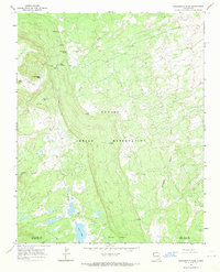
Editions of this 1966 Washington Pass Map
2 editions found
Other maps of this area

1886 · Wingate
USGS Topo · 1:250,000

1889 · Chaco
USGS Topo · 1:250,000

1892 · Wingate
USGS Topo · 1:250,000

1892 · Chaco
USGS Topo · 1:250,000

1954 · Shiprock
USGS Topo · 1:250,000

1954 · Gallup
USGS Topo · 1:250,000

1955 · Tohatchi
USGS Topo · 1:62,500

1958 · Gallup
USGS Topo · 1:250,000

1958 · Shiprock
USGS Topo · 1:250,000

1959 · Shiprock
USGS Topo · 1:250,000