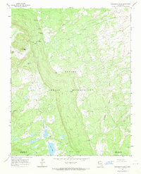
1966 Map of Washington Pass
USGS Topo · Published 1969About this map
Washington Pass dominates this high-altitude landscape within the Navajo Indian Reservation during the mid-1960s. The terrain is defined by a series of critical water sources, including Oak Spring, Cottonwood Spring, and Owl Spring, which likely served as vital landmarks for local movement across the Chuska Mountains. Watercourses such as Tuntsa Wash and Naschitti Wash drain the eastern slopes, while Bowl Canyon Creek and Crystal Creek flow to the west. The presence of a Radio Facility and scattered wells indicates the modest infrastructure of the era, supporting the high-desert and mountain activities of the region. The map also delineates the San Juan and McKinley County line, crossing through this isolated high country where Long Lake sits as a primary geographical anchor.
Find a feature on this map
16 named features on this map. Tap any name to fly to it.
Don’t see what you’re looking for? This feature index may not catch every label — zoom into the map to look around manually.
Map Details
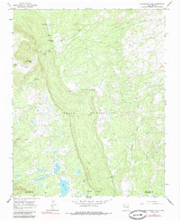
Editions of this 1966 Washington Pass Map
2 editions found
Other maps of this area

1886 · Wingate
USGS Topo · 1:250,000

1889 · Chaco
USGS Topo · 1:250,000

1892 · Wingate
USGS Topo · 1:250,000

1892 · Chaco
USGS Topo · 1:250,000

1954 · Shiprock
USGS Topo · 1:250,000

1954 · Gallup
USGS Topo · 1:250,000

1955 · Tohatchi
USGS Topo · 1:62,500

1958 · Gallup
USGS Topo · 1:250,000

1958 · Shiprock
USGS Topo · 1:250,000

1959 · Shiprock
USGS Topo · 1:250,000