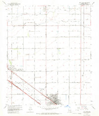
1965 Map of Eloy North
USGS Topo · Published 1966About this map
Santa Cruz Flats dominate the terrain of Pinal County in the mid-1960s, a landscape defined by an extensive grid of irrigation canals and agricultural infrastructure. The Casa Grande Canal and its Extension cut across the northern sections, feeding a network of wells that supported the area's development. The growing settlement of Eloy is anchored by Trekell Park and the industrial activity near the Southern Pacific tracks. To the northwest, the community of Toltec is established around the Toltec Sch, while the County Fairgrounds mark a regional hub to the north. Transportation is a central theme, with Sunshine Boulevard and other named roads like Toltec Road providing structure to the desert flats. A notable period detail includes sections of the regional road network marked as Under Construction, signaling the rapid expansion of the infrastructure during this era.
Find a feature on this map
34 named features on this map. Tap any name to fly to it.
Don’t see what you’re looking for? This feature index may not catch every label — zoom into the map to look around manually.
Map Details
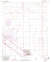
Editions of this 1965 Eloy North Map
2 editions found
Other maps of this area

1922 · Red Rock No 2
USGS Topo · 1:48,000

1922 · Signal Peak
USGS Topo · 1:62,500

1924 · Signal Peak
USGS Topo · 1:62,500

1934 · Newman Peak
USGS Topo · 1:125,000

1947 · Red Rock
USGS Topo · 1:62,500

1947 · Eloy
USGS Topo · 1:62,500

1948 · Eloy
USGS Topo · 1:62,500

1956 · Tucson
USGS Topo · 1:250,000

1958 · Tucson
USGS Topo · 1:250,000

1959 · Tucson
USGS Topo · 1:250,000