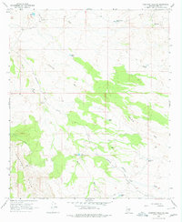
1966 Map of Ninetysix Hills NE
USGS Topo · Published 1978About this map
Box O Ranch and the Helmwheel Ranch serve as the primary human outposts in this arid landscape of Pinal County, where cattle ranching operations depend on a distributed network of water catchments. The terrain is defined by the Ninetysix Hills and the Box O Hills, with the land carved by seasonal drainage systems such as Donnelly Wash, Cottonwood Wash, and Paisano Wash. Transportation through the region during the mid-1960s relied on the unpaved Barkerville Road and Lambing Camp Road, which connected isolated tanks like The Lake Tank and Beehive Tank to the larger ranching estates. The network of fences and tanks shown here illustrates the logistical challenges of high-desert ranching before significant modern development altered the area's grazing patterns.
Find a feature on this map
21 named features on this map. Tap any name to fly to it.
Don’t see what you’re looking for? This feature index may not catch every label — zoom into the map to look around manually.
Map Details
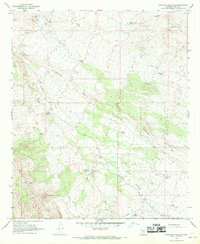
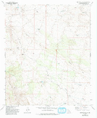
Editions of this 1966 Ninetysix Hills NE Map
3 editions found
Other maps of this area

1900 · Florence
USGS Topo · 1:125,000

1902 · Florence
USGS Topo · 1:125,000

1910 · Ray
USGS Topo · 1:62,500

1911 · Winkelman
USGS Topo · 1:125,000

1913 · Winkelman
USGS Topo · 1:125,000

1934 · Newman Peak
USGS Topo · 1:125,000

1949 · Crozier Peak
USGS Topo · 1:24,000

1949 · Winkelman
USGS Topo · 1:62,500

1949 · Black Mountain
USGS Topo · 1:24,000
1950 · Crozier Peak
USGS Topo · 1:24,000