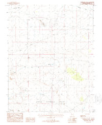
1988 Map of Formaster Well
USGS Topo · Published 1988About this map
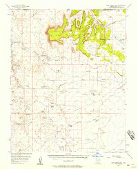
Upper Clayhole Valley defines the southern reach of this 1980s landscape, a high desert region characterized by seasonal drainage patterns and isolated water sources. The map focuses on the namesake Formaster Well, a critical water point for local ranching operations, which also includes a nearby Corral. The terrain transitions from the alluvial fans of Sandridge Wash in the north toward prominent landforms such as Black Knolls and Flat Top. Evidence of land management and transportation is sparse but distinct, featuring a Check Dam on a minor drainage and the path of the Navajo Trail cutting across the western sections. This survey provides a clear view of the arid infrastructure in Arizona's north-central plateau region during the late 20th century.
Find a feature on this map
13 named features on this map. Tap any name to fly to it.
Don’t see what you’re looking for? This feature index may not catch every label — zoom into the map to look around manually.
Map Details
Editions of this 1988 Formaster Well Map
This is the sole edition of this map. No revisions or reprints were ever made.
Other maps of this area

1886 · Mt. Trumbull
USGS Topo · 1:250,000

1886 · Kaibab
USGS Topo · 1:250,000

1892 · Mt. Trumbull
USGS Topo · 1:250,000

1953 · Grand Canyon
USGS Topo · 1:250,000

1954 · Heaton Knolls NW
USGS Topo · 1:24,000

1954 · Lost Spring SE
USGS Topo · 1:24,000
1954 · Short Creek SW
USGS Topo · 1:24,000
1954 · Lost Spring NW
USGS Topo · 1:24,000
1954 · Short Creek NW
USGS Topo · 1:24,000
1954 · Lost Spring Mtn
USGS Topo · 1:62,500