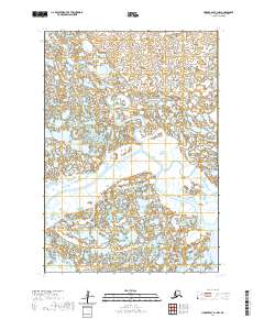
2020 Map of Hooper Bay B-1 NW
USGS Topo · Published 2020About this map
The Kashunuk River meanders across this low-lying landscape within the Kusilvak Census Area, illustrating the complex hydrological network of the Yukon-Kuskokwim Delta. This 2020 map documents an intricate mosaic of wetlands and tundra where the Ukalikehik River and Maryauck River wind through the silt-heavy terrain. The region is defined by its seasonal shift from frozen expanse to a saturated floodplain, a topography that has historically dictated the movement of native populations and wildlife. To the southeast, the Aphrewn River enters the frame, marking another artery in a region where water is the primary geographic anchor. Without roads or permanent settlements, the drainage patterns of these tidal rivers remain the dominant physical features for navigation and land use.
Find a feature on this map
8 named features on this map. Tap any name to fly to it.
Don’t see what you’re looking for? This feature index may not catch every label — zoom into the map to look around manually.
Map Details
Editions of this 2020 Hooper Bay B-1 NW Map
This is the sole edition of this map. No revisions or reprints were ever made.
Other maps of this area

1951 · Hooper Bay
USGS Topo · 1:250,000
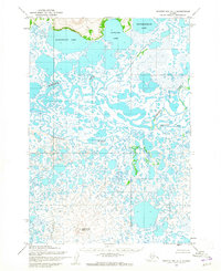
1952 · Hooper Bay C-1
USGS Topo · 1:63,360

1953 · Hooper Bay
USGS Topo · 1:250,000
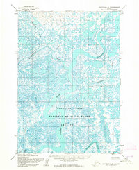
1953 · Hooper Bay B-1
USGS Topo · 1:63,360
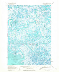
1953 · Hooper Bay B-2
USGS Topo · 1:63,360

1953 · Hooper Bay C-2
USGS Topo · 1:63,360

1964 · Hooper Bay
USGS Topo · 1:250,000
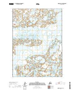
2020 · Hooper Bay B-1 NE
USGS Topo · 1:25,000
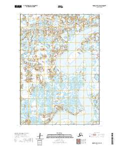
2020 · Hooper Bay B-1 SW
USGS Topo · 1:25,000
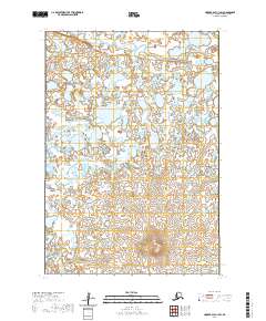
2020 · Hooper Bay C-1 SW
USGS Topo · 1:25,000