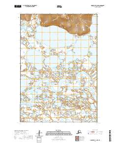
2020 Map of Hooper Bay C-1 NW
USGS Topo · Published 2020About this map
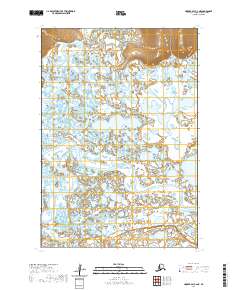
The Askinuk Mountains dominate the northern horizon of this coastal landscape within the Kusilvak Census Area. Below these heights, a intricate labyrinth of wetlands and tundra is defined by the winding course of the Kokechik River and the Kultuk River, which weave through the western reaches of the Yukon-Kuskokwim Delta. This environment is characterized by large, shallow water bodies such as Kagankaguti Lake and Kawialik Lake, which illustrate the complex hydrology of this subarctic region. The absence of roads or established settlements emphasizes the seasonal and fluid nature of movement across the terrain, where the Chelunginik River and other tidal waterways serve as the primary conduits through the low-lying plains. This 2020 survey provides a modern snapshot of a wilderness shaped by shifting water levels and the permanence of the northern peaks.
Find a feature on this map
10 named features on this map. Tap any name to fly to it.
Don’t see what you’re looking for? This feature index may not catch every label — zoom into the map to look around manually.
Map Details
Editions of this 2020 Hooper Bay C-1 NW Map
This is the sole edition of this map. No revisions or reprints were ever made.
Other maps of this area

1951 · Hooper Bay
USGS Topo · 1:250,000
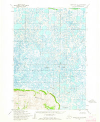
1952 · Hooper Bay D-1
USGS Topo · 1:63,360
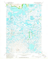
1952 · Hooper Bay C-1
USGS Topo · 1:63,360

1952 · Hooper Bay D-2
USGS Topo · 1:63,360

1953 · Hooper Bay
USGS Topo · 1:250,000

1953 · Hooper Bay C-2
USGS Topo · 1:63,360

1964 · Hooper Bay
USGS Topo · 1:250,000
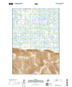
2020 · Hooper Bay D-1 SW
USGS Topo · 1:25,000
2020 · Hooper Bay C-2 NE
USGS Topo · 1:25,000
2020 · Hooper Bay C-1 SW
USGS Topo · 1:25,000