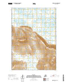
2020 Map of Hooper Bay D-2 SE
USGS Topo · Published 2020About this map
The Kun River and Ear River dominate this portion of the Kusilvak Census Area, winding through a complex network of wetlands and tundra in western Alaska. The terrain is characterized by dramatic elevation changes rising from the river lowlands, most notably at Castle Hill in the north and the high ground surrounding Igiayarok Pass. This 2020 survey illustrates a landscape defined by seasonal water flow and topographical bottlenecks that likely influenced traditional travel routes through the region. Mapping by the U.S. Geological Survey provides a precise look at these landforms, offering researchers a view of the hydrologic patterns and natural landmarks used for navigation in this remote coastal area.
Find a feature on this map
10 named features on this map. Tap any name to fly to it.
Don’t see what you’re looking for? This feature index may not catch every label — zoom into the map to look around manually.
Map Details
Editions of this 2020 Hooper Bay D-2 SE Map
This is the sole edition of this map. No revisions or reprints were ever made.
Other maps of this area

1951 · Hooper Bay
USGS Topo · 1:250,000
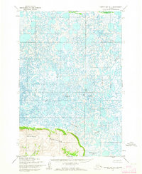
1952 · Hooper Bay D-1
USGS Topo · 1:63,360
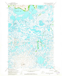
1952 · Hooper Bay C-1
USGS Topo · 1:63,360

1952 · Hooper Bay D-2
USGS Topo · 1:63,360

1953 · Hooper Bay
USGS Topo · 1:250,000

1953 · Hooper Bay C-2
USGS Topo · 1:63,360

1964 · Hooper Bay
USGS Topo · 1:250,000
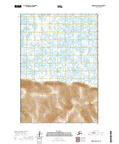
2020 · Hooper Bay D-1 SW
USGS Topo · 1:25,000
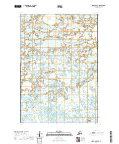
2020 · Hooper Bay D-2 NE
USGS Topo · 1:25,000
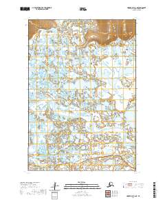
2020 · Hooper Bay C-2 NE
USGS Topo · 1:25,000