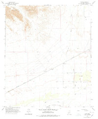
1965 Map of Horn
USGS Topo · Published 1978About this map
The Southern Pacific railroad corridor defines the development of this arid landscape, where the settlement of Horn and the nearby Horn Cotton Gin anchor the local economy. Situated in the San Cristobal Valley north of the Gila River, the area shows a clear transition from the rugged Palomas Mountains in the northwest to the agricultural and transit-heavy lowlands. To the north, the England Mine suggests earlier mineral interest, while the presence of the Fort Horn Monument points toward the historical significance of this desert passage. The drainage of Hoodoo Wash cuts across the terrain, illustrating the typical seasonal water patterns of Yuma County. Scattered infrastructure such as a Landing Strip, Storage Bins, and various gravel pits reveal a mid-century landscape managed for both transport and local industry.
Find a feature on this map
16 named features on this map. Tap any name to fly to it.
Don’t see what you’re looking for? This feature index may not catch every label — zoom into the map to look around manually.
Map Details
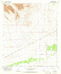
Editions of this 1965 Horn Map
2 editions found
Other maps of this area

1927 · Hyder
USGS Topo · 1:62,500

1929 · Aztec
USGS Topo · 1:62,500

1930 · Stoval
USGS Topo · 1:62,500

1930 · Hyder
USGS Topo · 1:62,500

1942 · Vicksburg
USGS Topo · 1:250,000

1950 · Stoval
USGS Topo · 1:62,500

1950 · Aztec
USGS Topo · 1:62,500

1953 · Ajo
USGS Topo · 1:250,000

1954 · Phoenix
USGS Topo · 1:250,000

1957 · Ajo
USGS Topo · 1:250,000