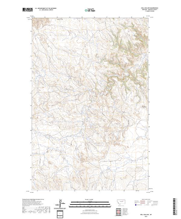
2024 Map of Hell Hollow
USGS Topo · Published 2024About this map
The Charles M Russell National Wildlife Refuge dominates the northeastern section of this Garfield County map, preserving a landscape of deep drainages and isolated high points. The terrain is defined by the winding course of Snow Creek and its tributary, South Fork Snow Creek, which have carved intricate contours into the eastern Montana plains. Named landmarks like Baldy Butte and the eponymous Hell Hollow provide clear orientation points within this expansive drainage system. Human presence is limited to sparse corridors such as Hubbard Rd and the Lone Star Loop, indicating a region focused on conservation and ranching. To the north, the terrain transitions toward Widow Coulee, illustrating the complex network of seasonal watercourses that characterize the northern Missouri River breaks region.
Find a feature on this map
14 named features on this map. Tap any name to fly to it.
Don’t see what you’re looking for? This feature index may not catch every label — zoom into the map to look around manually.
Map Details
Editions of this 2024 Hell Hollow Map
This is the sole edition of this map. No revisions or reprints were ever made.
Other maps of this area

1954 · Jordan
USGS Topo · 1:250,000

1956 · Jordan
USGS Topo · 1:250,000

1958 · Jordan
USGS Topo · 1:250,000

1964 · Jordan
USGS Topo · 1:250,000

1971 · Hell Hollow
USGS Topo · 1:24,000

1971 · Trumbo Ranch
USGS Topo · 1:24,000

1971 · Wolfe Coulee
USGS Topo · 1:24,000

1971 · Wagon Coulee
USGS Topo · 1:24,000

1971 · Harper Camp
USGS Topo · 1:24,000

1971 · Chalk Butte
USGS Topo · 1:24,000