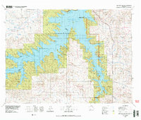
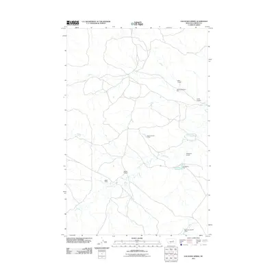
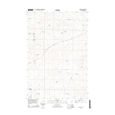
2024 Map of Sleepy Hollow
USGS Topo · Published 2024About this map
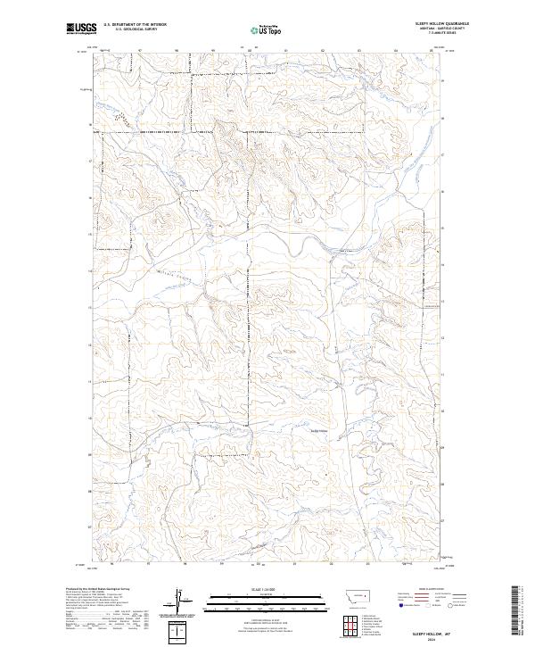
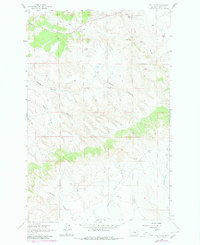
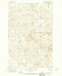
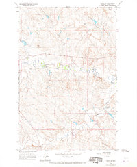
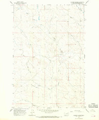
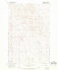
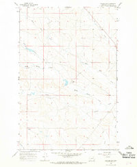
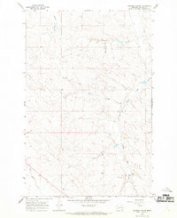
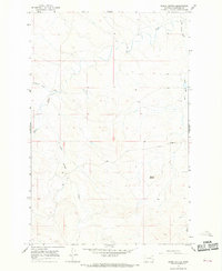
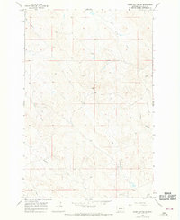
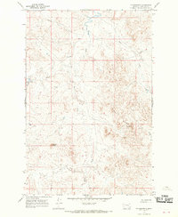
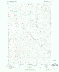
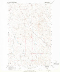
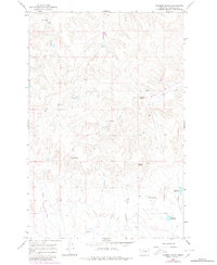
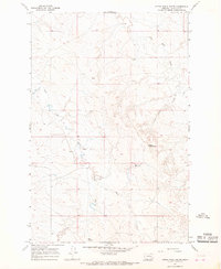
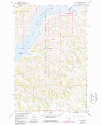
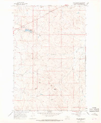
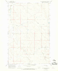
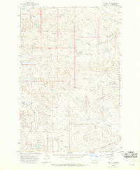
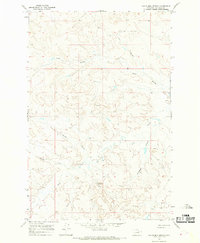
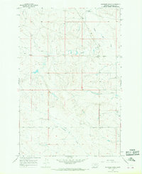
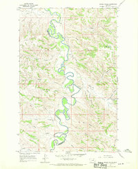
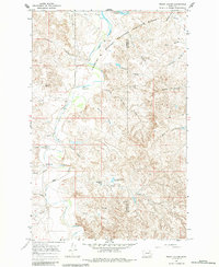
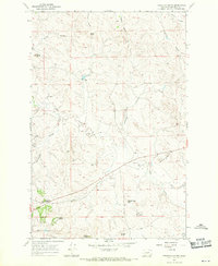
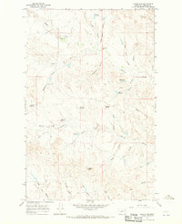
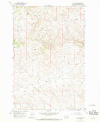
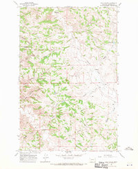
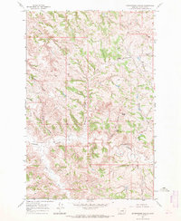
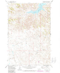
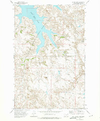
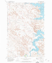
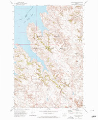
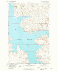
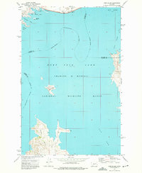
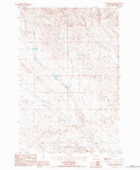
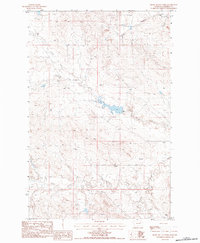
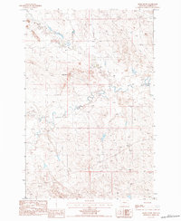
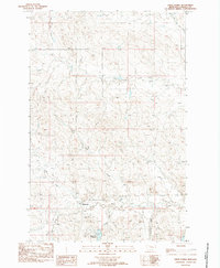
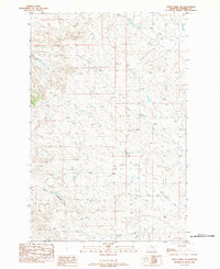
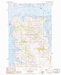
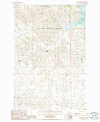
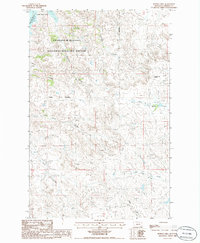
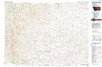
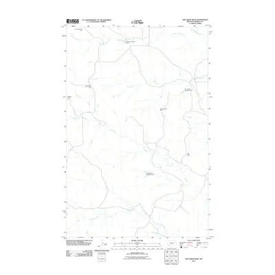
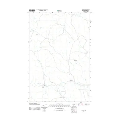
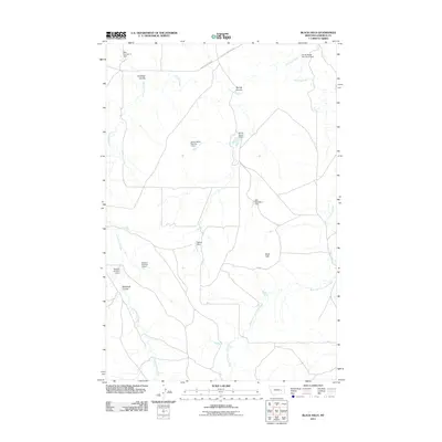
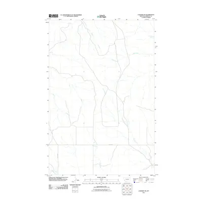
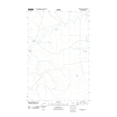
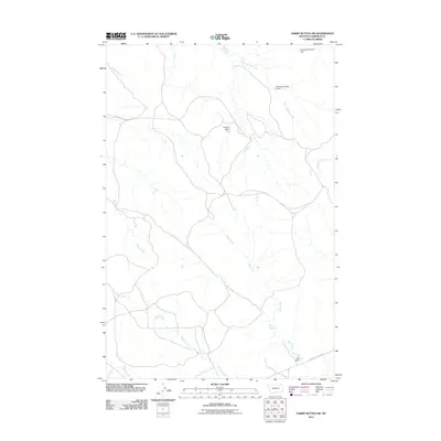
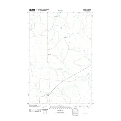
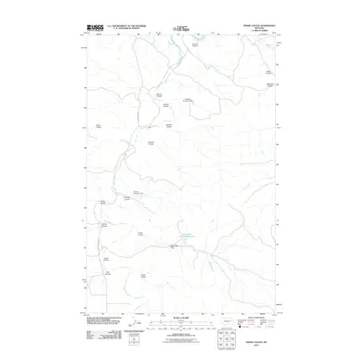
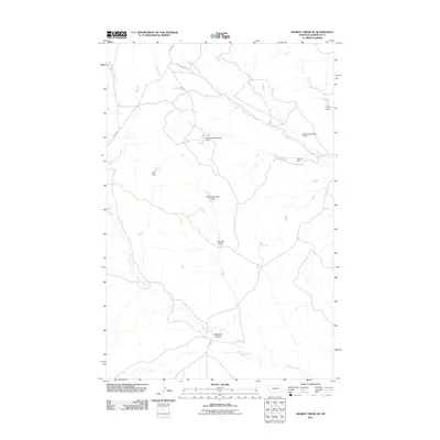
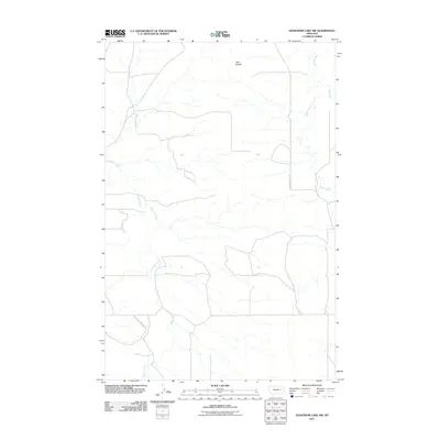
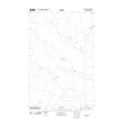
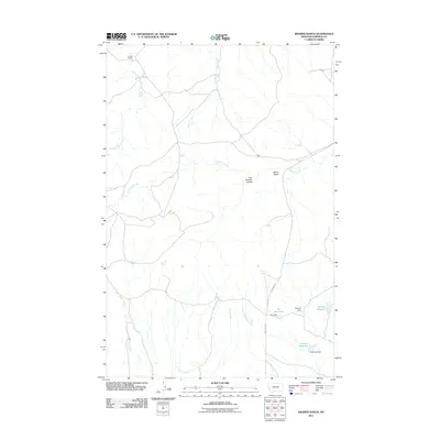
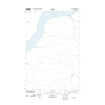
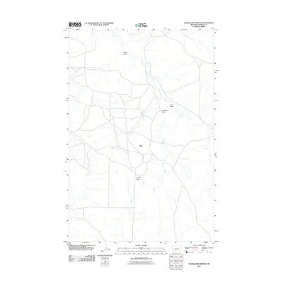
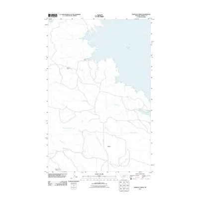
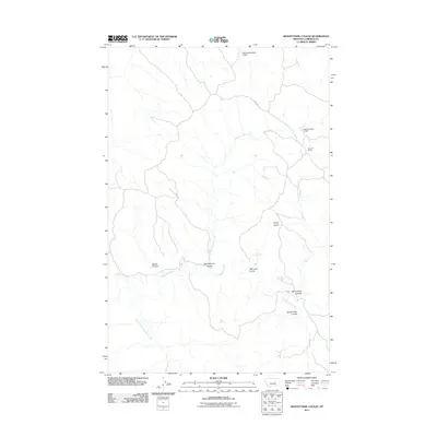
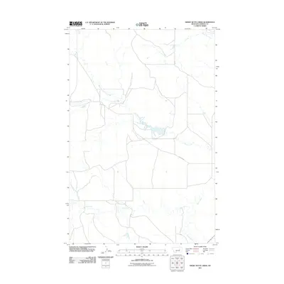
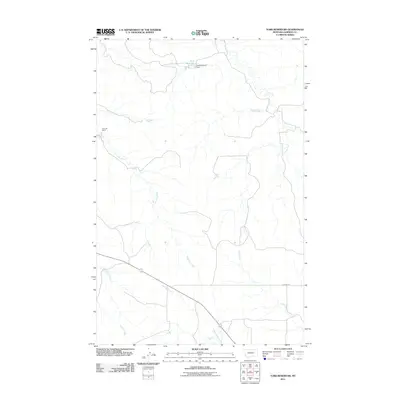
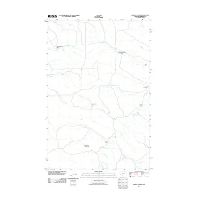
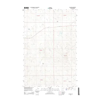
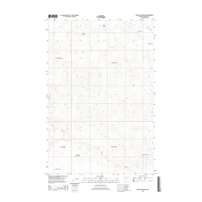
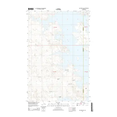
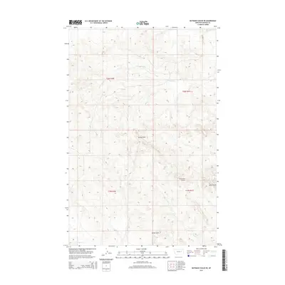
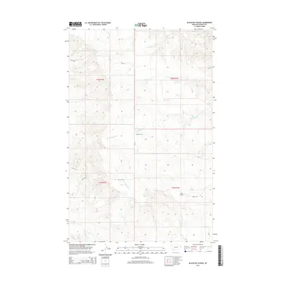
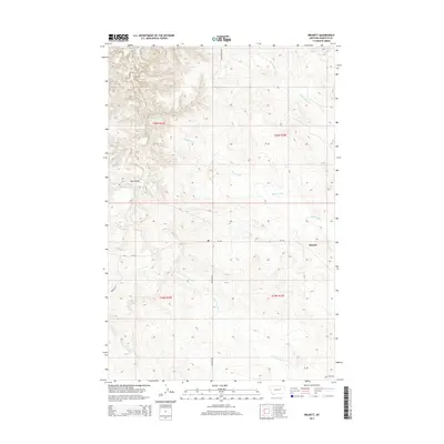
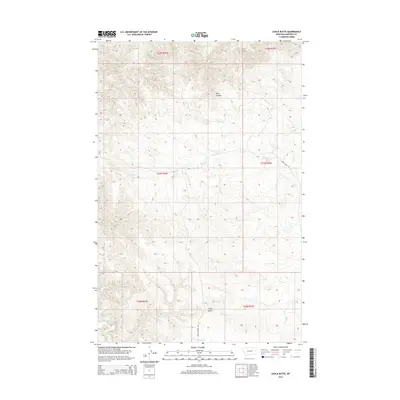
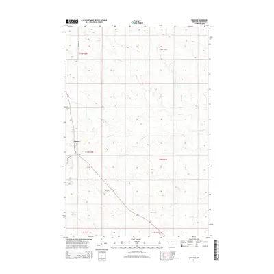
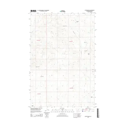
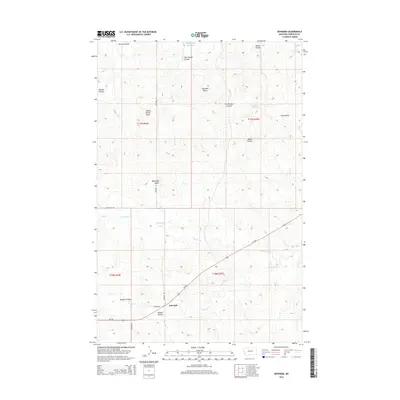
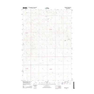
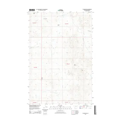
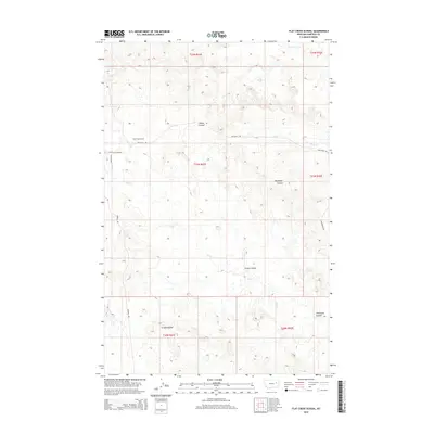
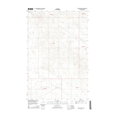
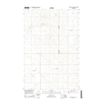
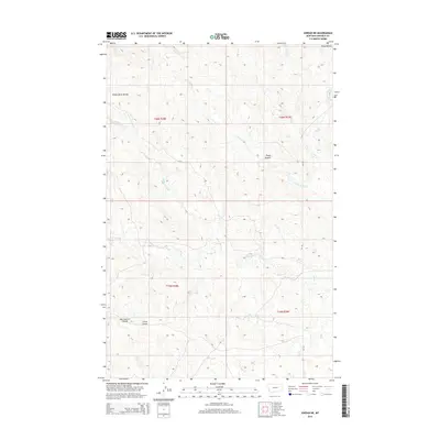
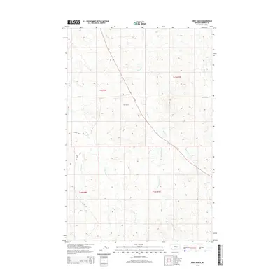
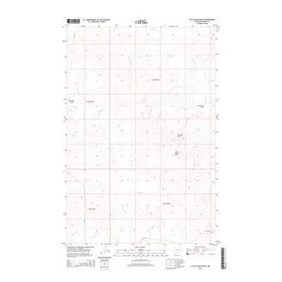
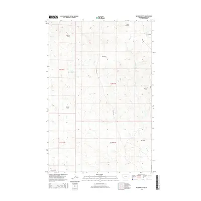
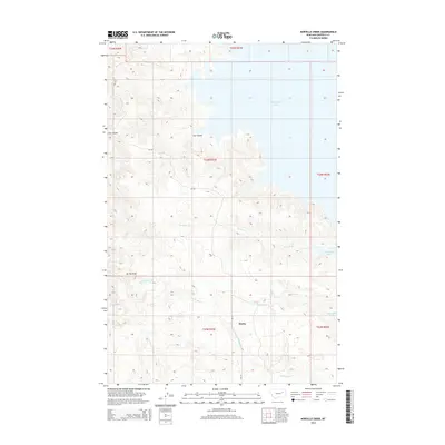
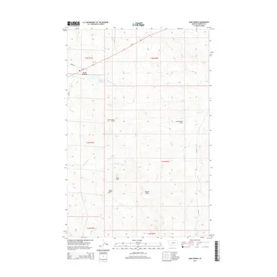
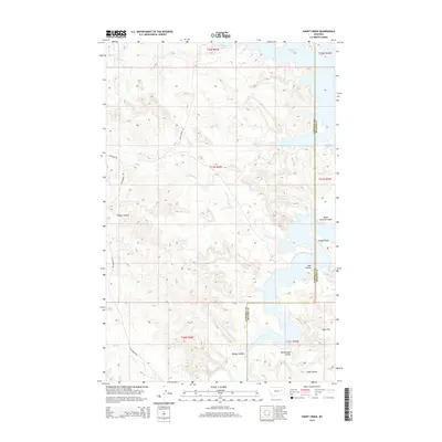
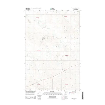
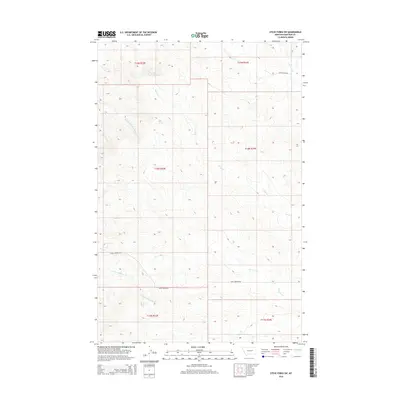
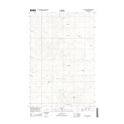
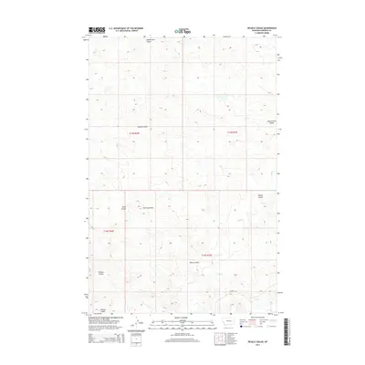
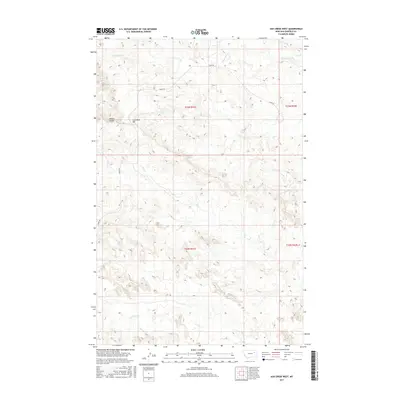
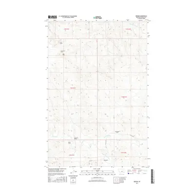
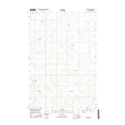
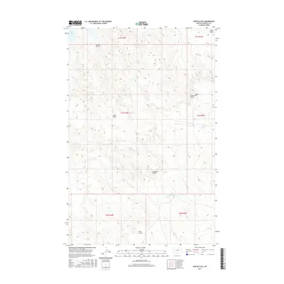
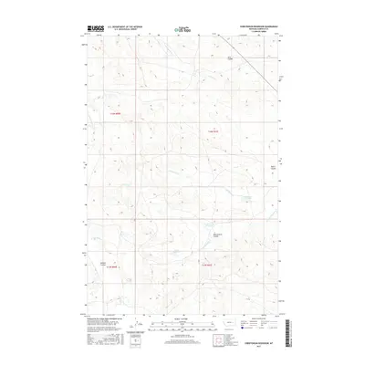
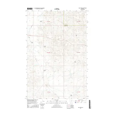
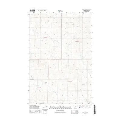
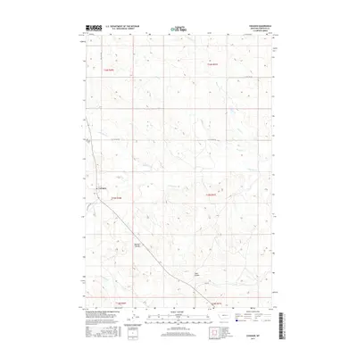
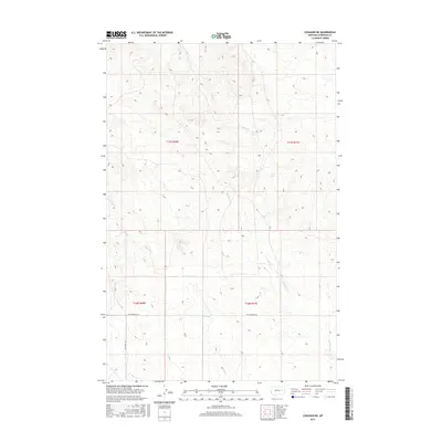
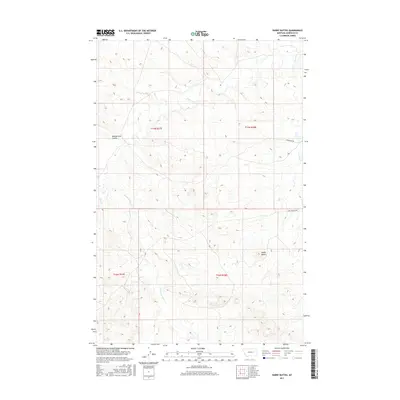
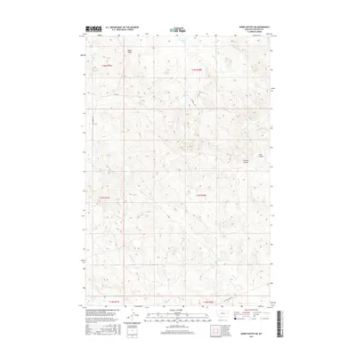
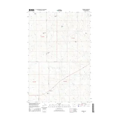
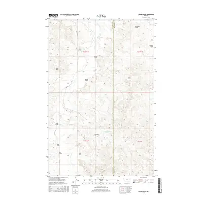
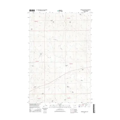
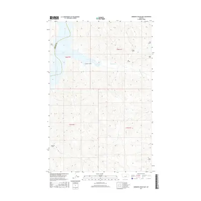
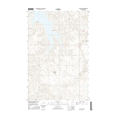
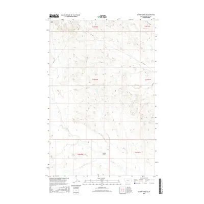
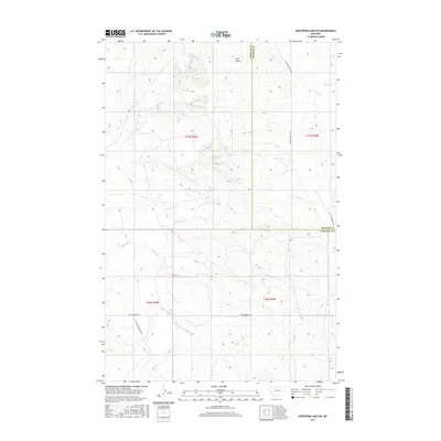
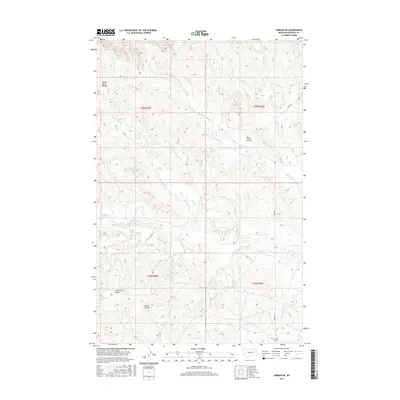
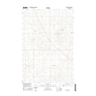
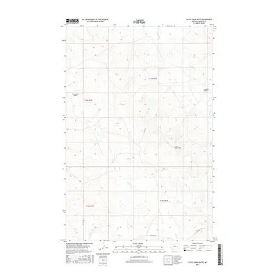
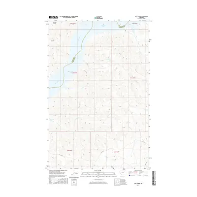
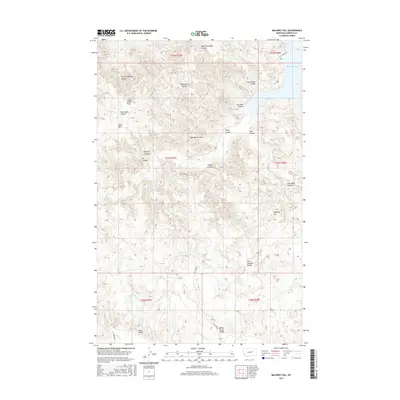
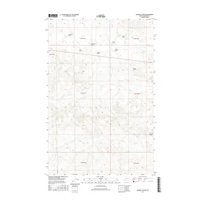
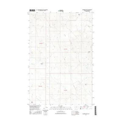
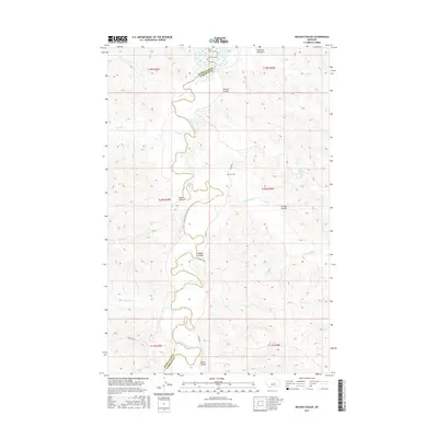
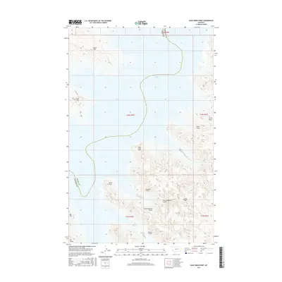
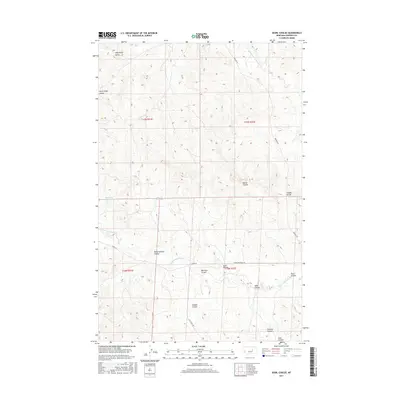
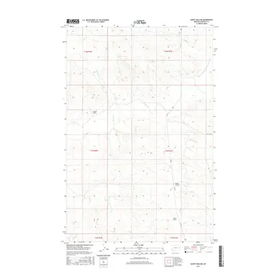
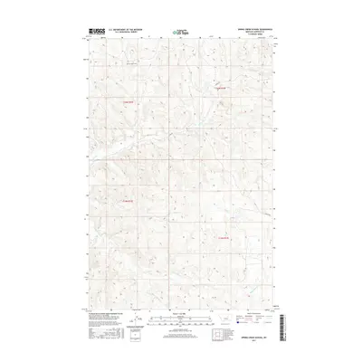
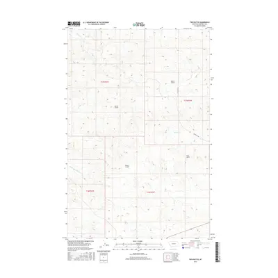
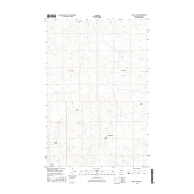
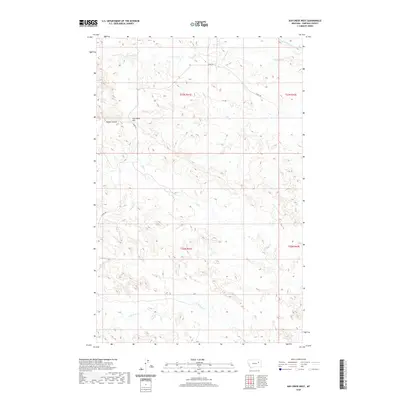
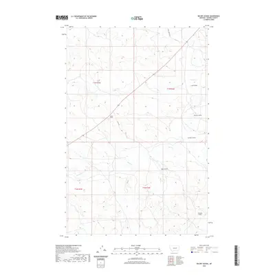
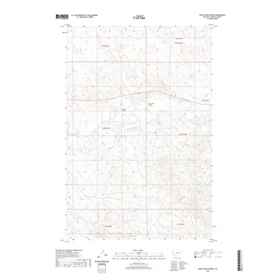
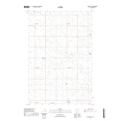
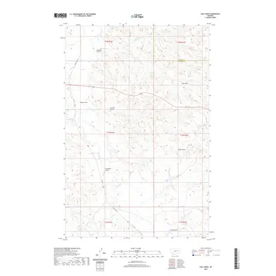
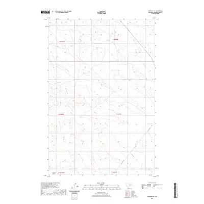
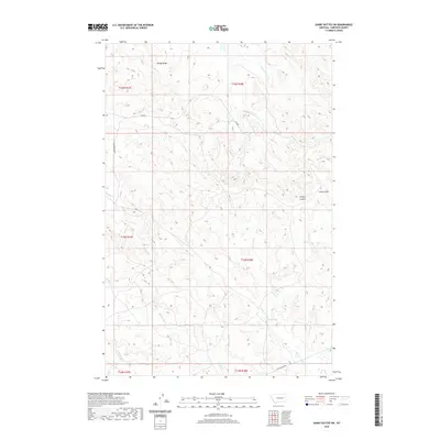
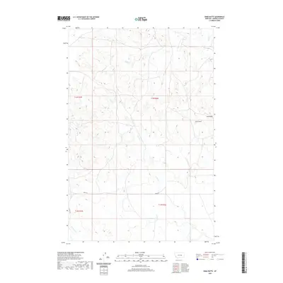
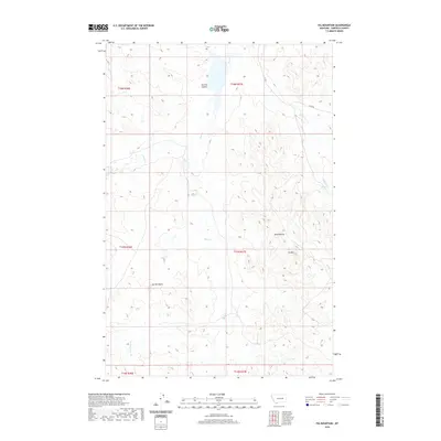
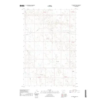
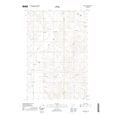
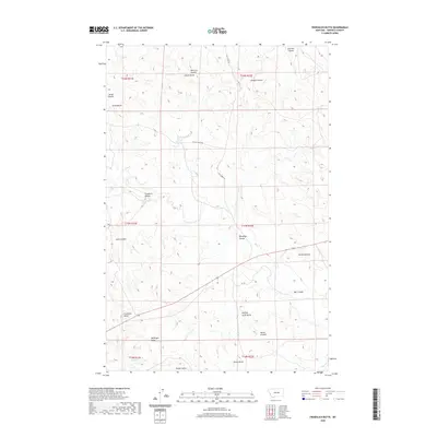
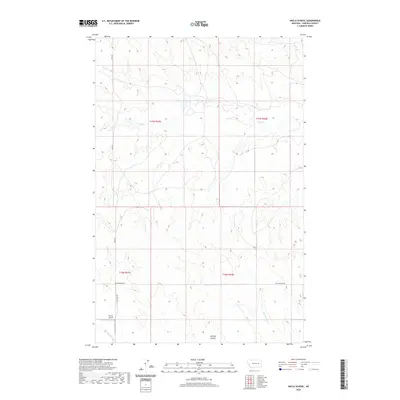
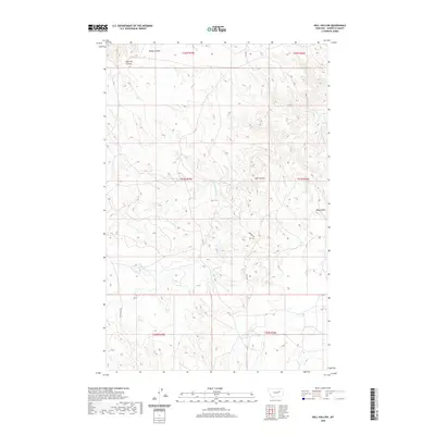
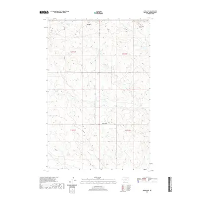
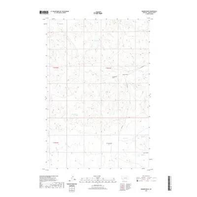
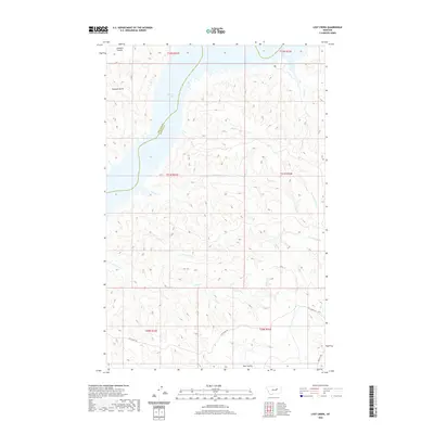
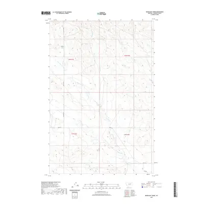
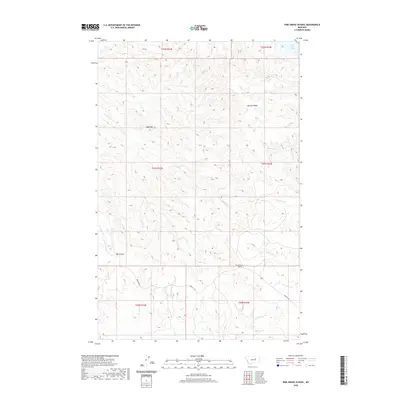
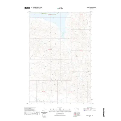
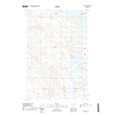
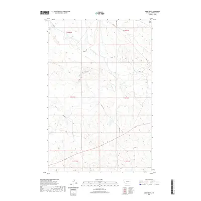
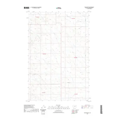
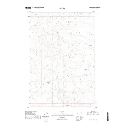
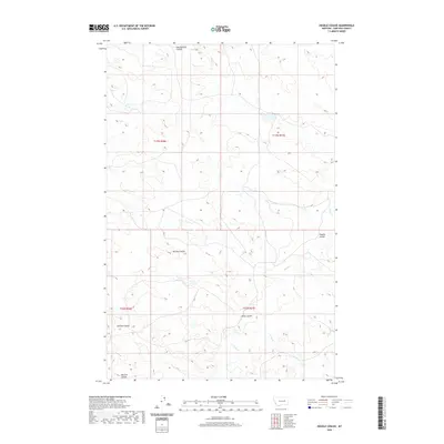
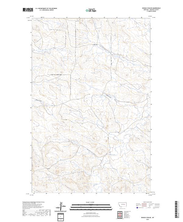
Sleepy Hollow defines this corner of Garfield County, where the high plains of Montana are deeply etched by a network of drainage coulees and seasonal creeks. The landscape is dominated by the winding path of Little Dry Creek and its many tributaries, including Witchie Coulee, Uall Creek, and Saurs Coulee. These natural water features are supplemented by the Little Dry Water Users Association Canal in the northeast, reflecting the vital importance of water management in this arid grazing country. The presence of these drainages, alongside Hawks Nest Creek and Antelope Creek, illustrates the complex topographical texture of the region. Human infrastructure is sparse, limited primarily to the section-line grids and local routes like Uall Rd and Crow Rock Rd, serving the expansive ranching tracts that characterize the modern Garfield County interior.
Find a feature on this map
16 named features on this map. Tap any name to fly to it.
Don’t see what you’re looking for? This feature index may not catch every label — zoom into the map to look around manually.
Map Details
Editions of this 2024 Sleepy Hollow Map
This is the sole edition of this map. No revisions or reprints were ever made.
Historical Maps of Garfield County Through Time
543 maps found
1958 Maloney Hill
Garfield County, MT
1958 Sage Creek Point
Garfield County, MT
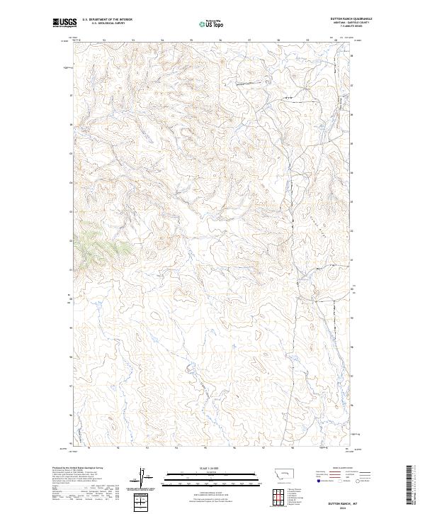
1963 Dutton Ranch
Garfield County, MT
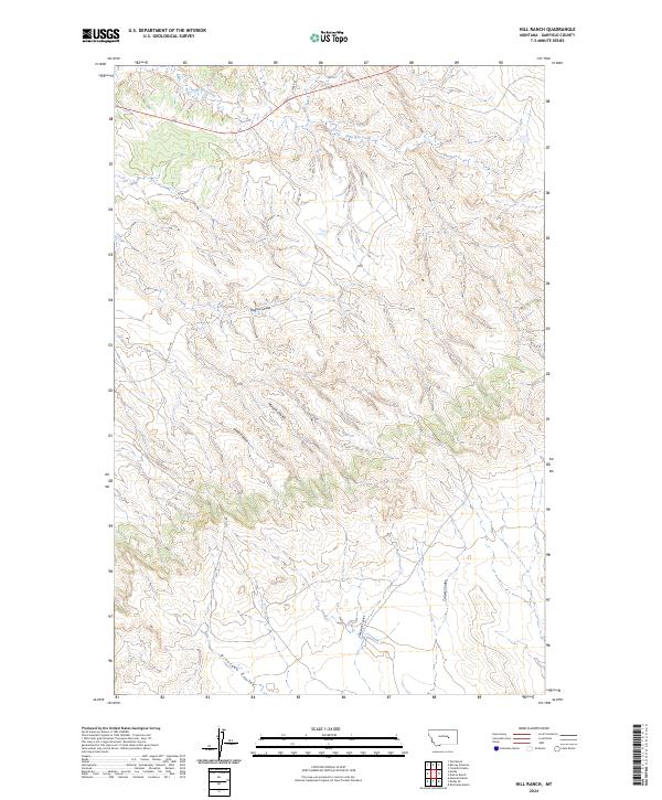
1963 Hill Ranch
Garfield County, MT
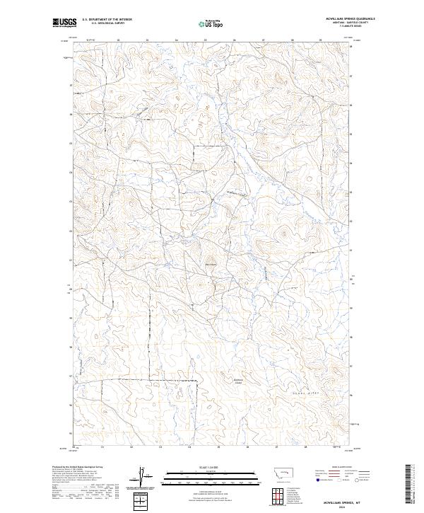
1963 Mc Williams Springs
Garfield County, MT
1964 Ada Creek
Garfield County, MT
1964 Bateman Coulee
Garfield County, MT
1964 Bateman Coulee NE
Garfield County, MT
1964 Black John Coulee
Garfield County, MT
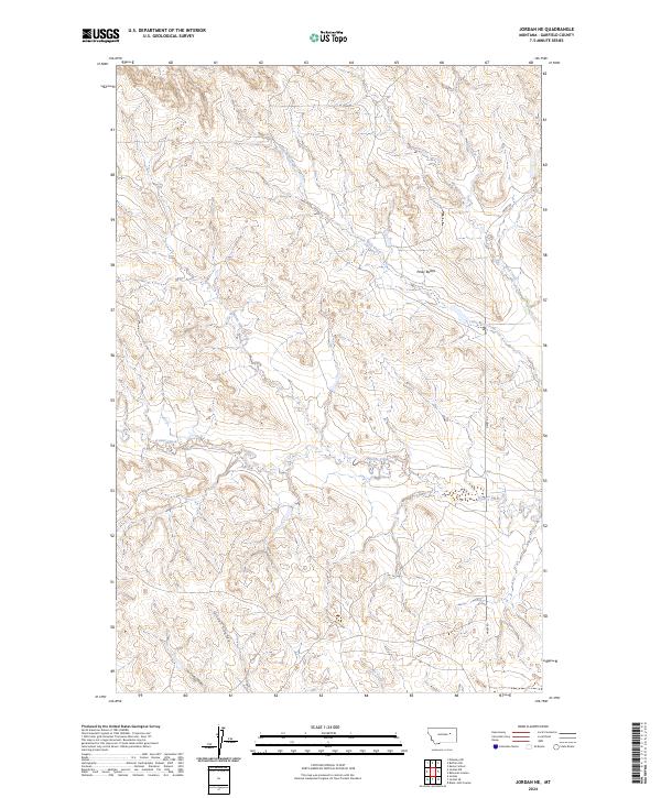
1964 Jordan NE
Garfield County, MT
1964 Jordan NW
Garfield County, MT
1964 Jordan SE
Garfield County, MT
1965 Antelope Springs
Garfield County, MT
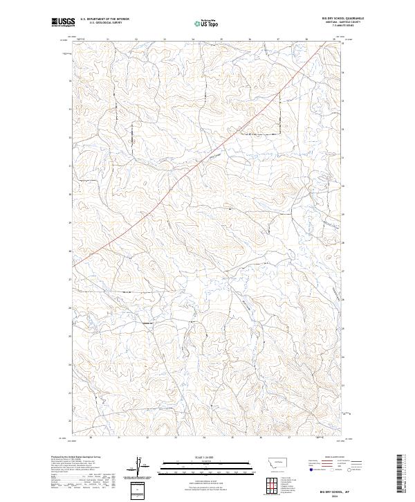
1965 Big Dry School
Garfield County, MT
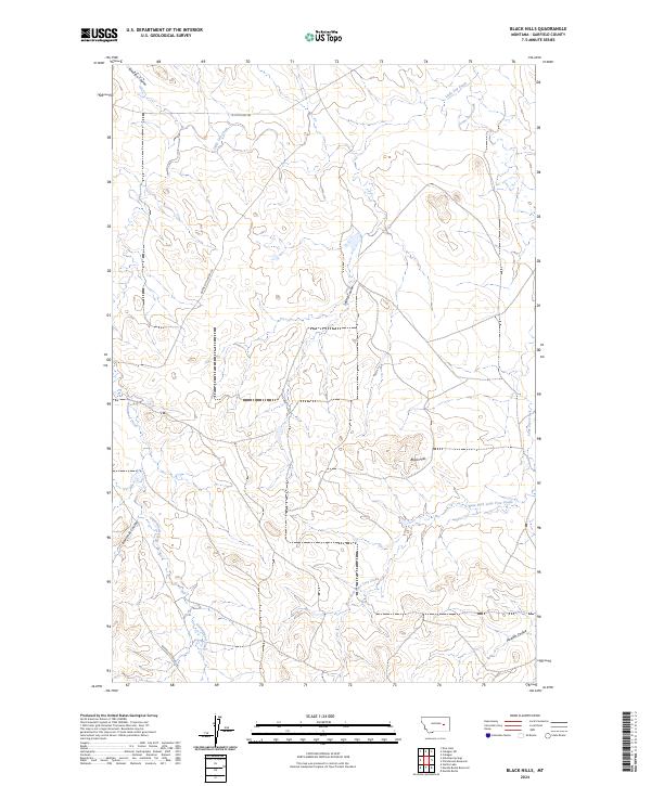
1965 Black Hills
Garfield County, MT
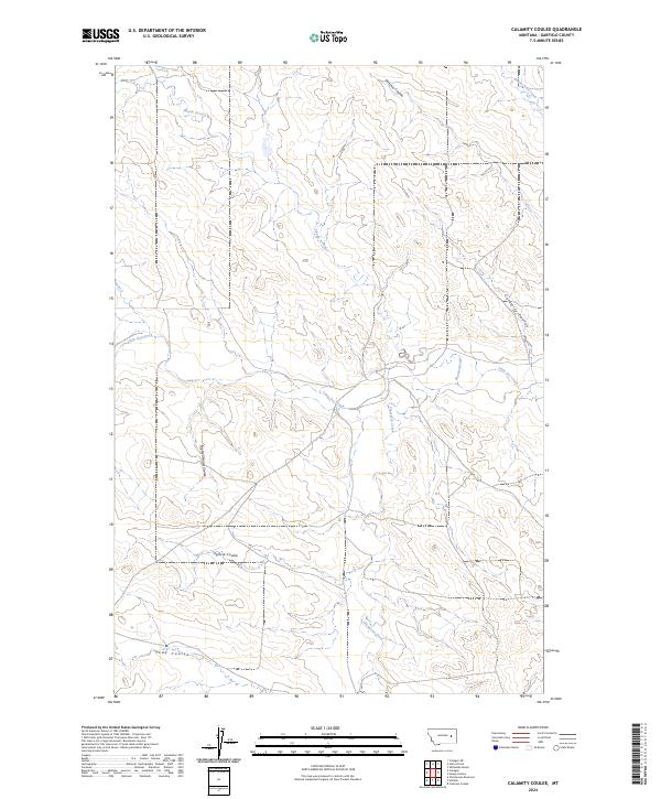
1965 Calamity Coulee
Garfield County, MT
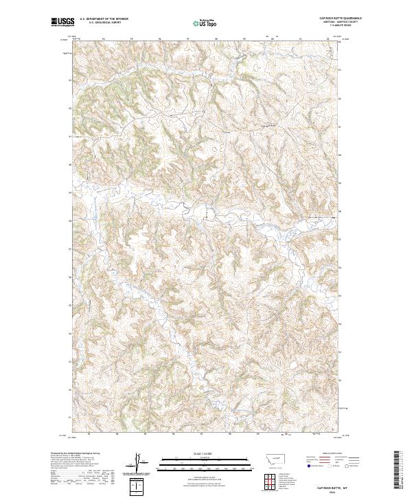
1965 Cap Rock Butte
Garfield County, MT
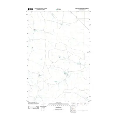
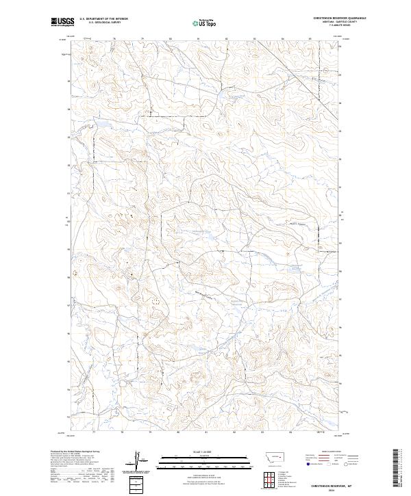
1965 Christenson Reservoir
Garfield County, MT
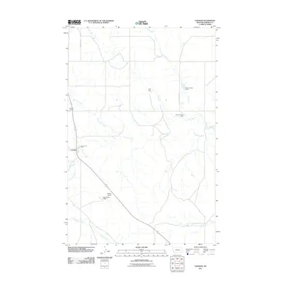
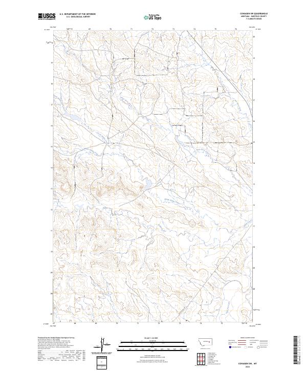
1965 Cohagen
Garfield County, MT
1965 Cohagen NE
Garfield County, MT
1965 Cohagen SW
Garfield County, MT
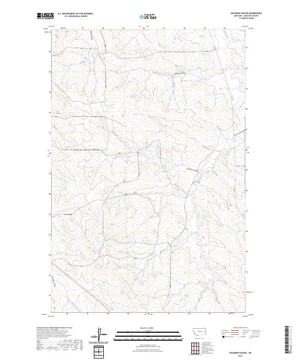
1965 Coleman Coulee
Garfield County, MT
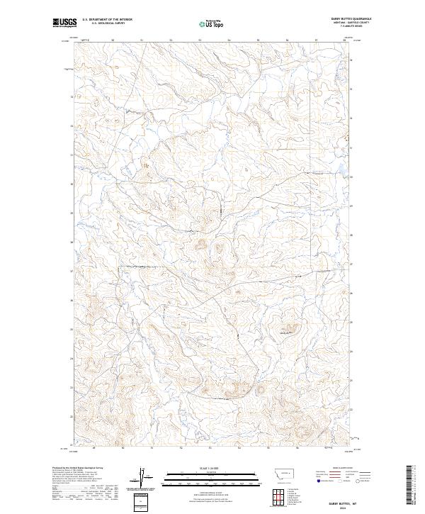
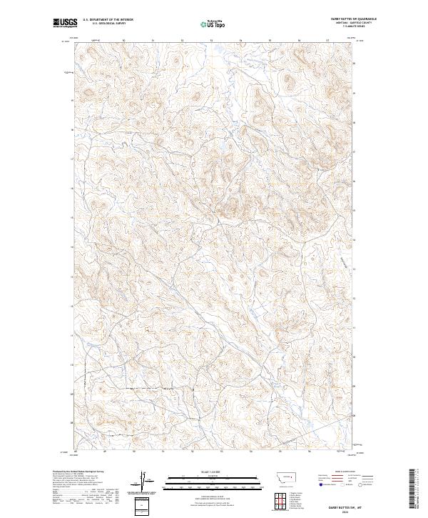
1965 Darby Buttes
Garfield County, MT
1965 Darby Buttes SW
Garfield County, MT
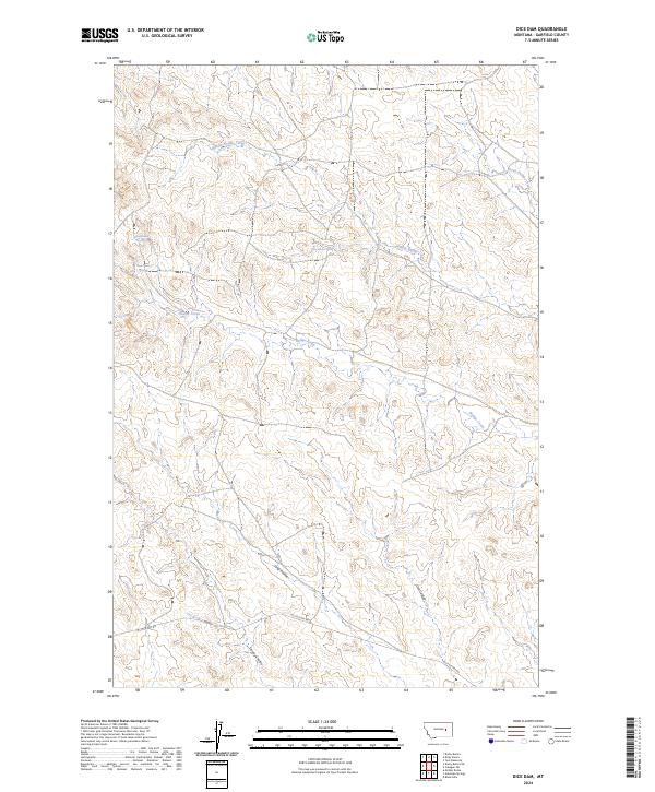
1965 Dice Dam
Garfield County, MT
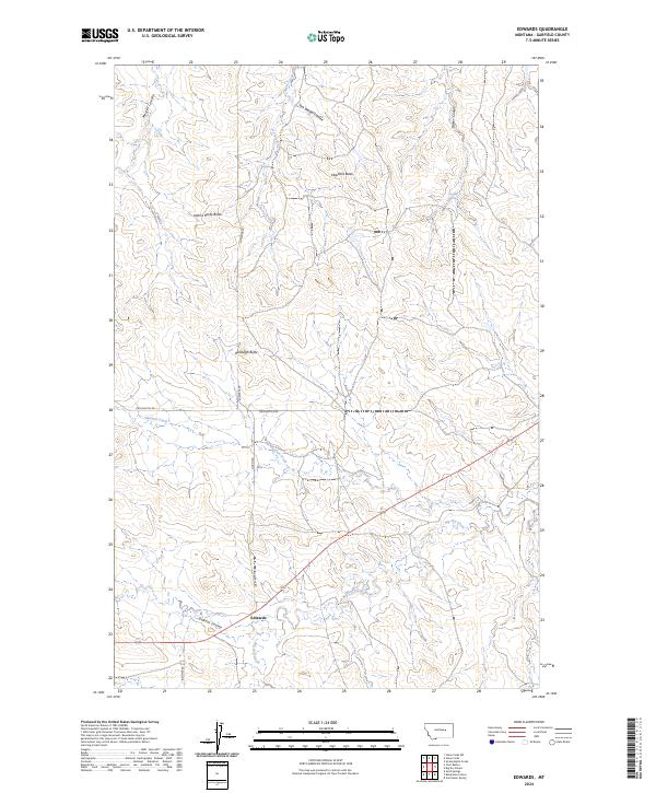
1965 Edwards
Garfield County, MT
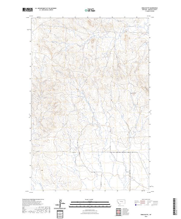
1965 Emma Butte
Garfield County, MT
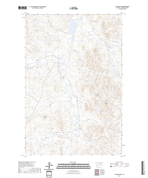
1965 Fig Mountain
Garfield County, MT
1965 Germaine Coulee East
Garfield County, MT
1965 Hafla School
Garfield County, MT
1965 Hedstrom Lake NW
Garfield County, MT
1965 Hillside
Garfield County, MT
1965 Kirby Ranch
Garfield County, MT
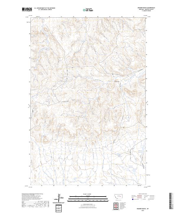
1965 Kramer Ranch
Garfield County, MT
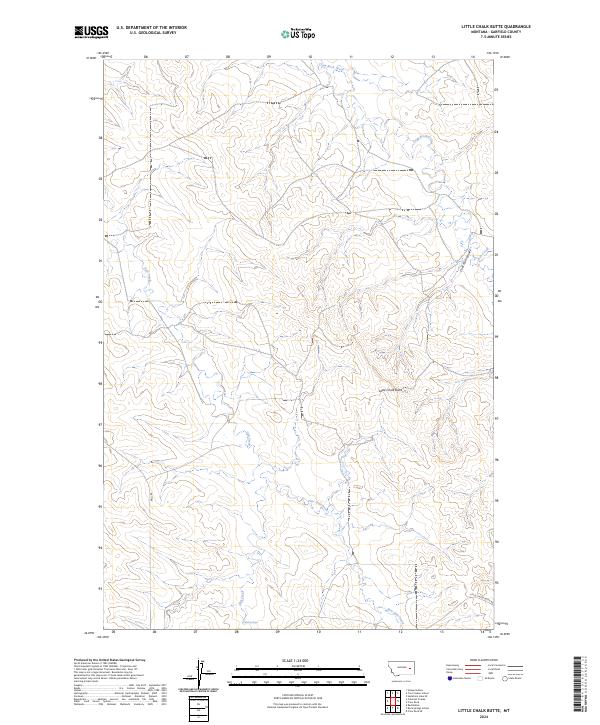
1965 Little Chalk Butte
Garfield County, MT
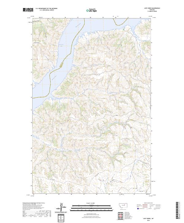
1965 Lost Creek
Garfield County, MT
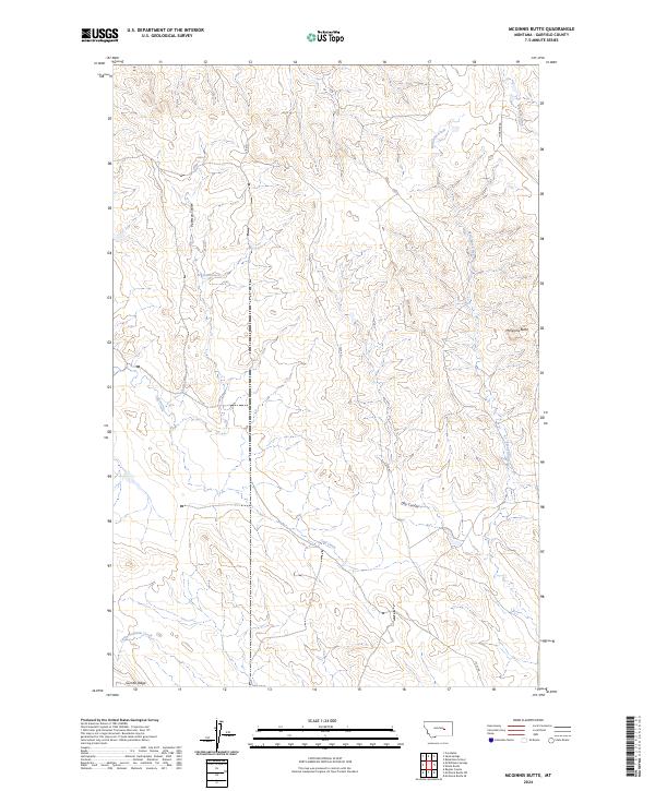
1965 Mc Ginnis Butte
Garfield County, MT

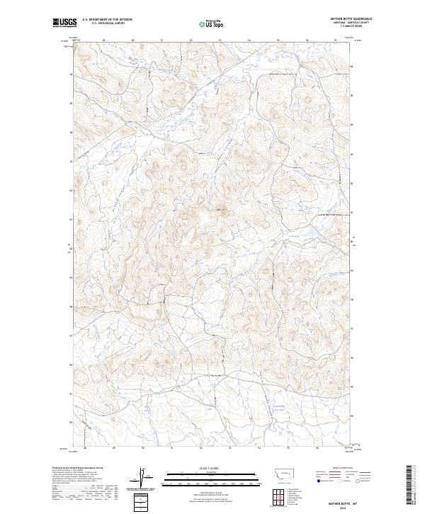
1965 Mother Butte
Garfield County, MT
1965 Pine Grove School
Garfield County, MT
1965 Robertson School
Garfield County, MT
1965 Sand Springs
Garfield County, MT
1965 School Butte
Garfield County, MT
1965 Sleepy Hollow
Garfield County, MT
1965 Spring Creek School
Garfield County, MT
1965 Tree Coulee School
Garfield County, MT
1965 Twin Buttes
Garfield County, MT
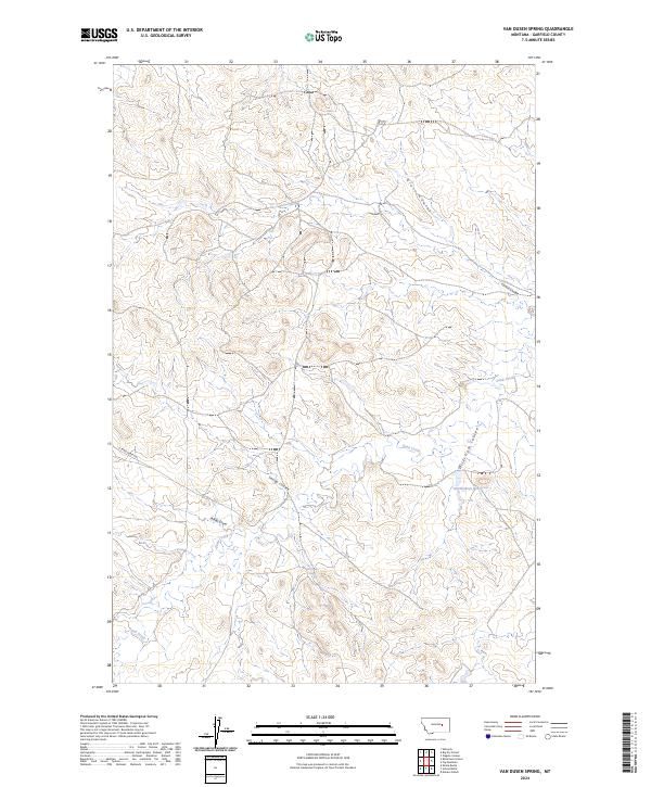
1965 Van Dusen Spring
Garfield County, MT
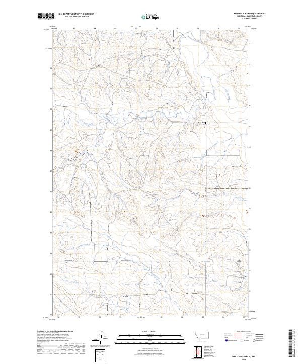
1965 Whiteside Ranch
Garfield County, MT
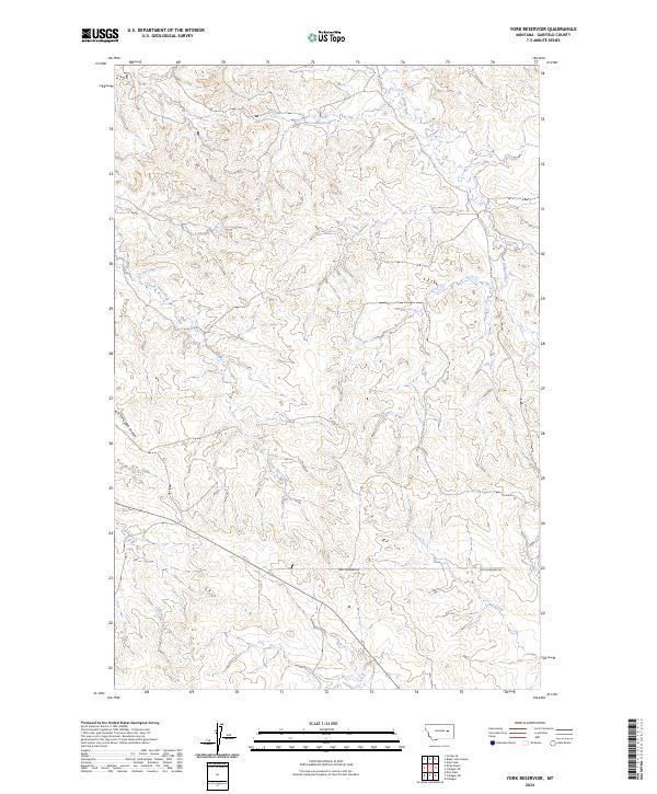
1965 York Reservoir
Garfield County, MT
1965 Ziegele Coulee
Garfield County, MT
1967 Barney Pinnacle
Garfield County, MT
1967 Benzien
Garfield County, MT
1967 Bridge Coulee
Garfield County, MT
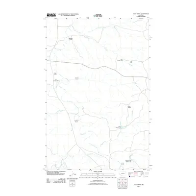
1967 Coal Creek
Garfield County, MT
1967 Coffin Butte
Garfield County, MT
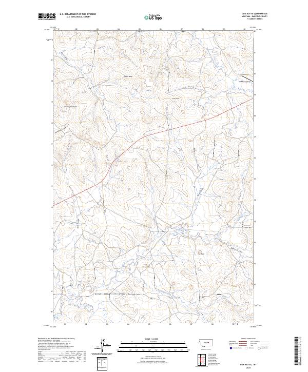
1967 Cox Butte
Garfield County, MT
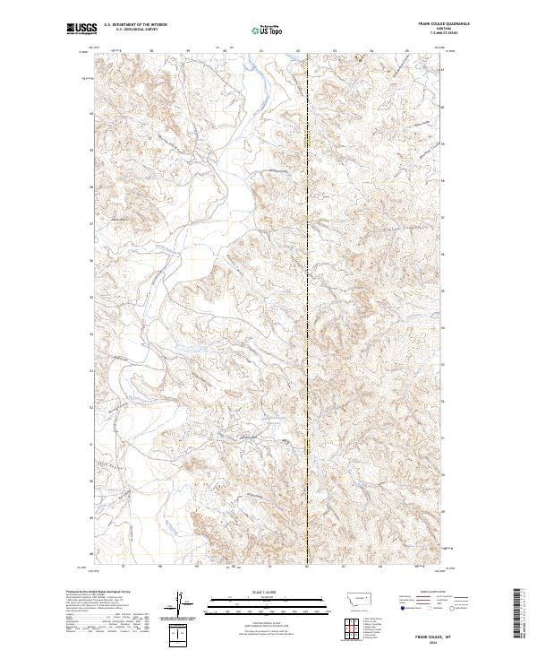
1967 Frank Coulee
Garfield County, MT
1967 Froehlich Butte
Garfield County, MT
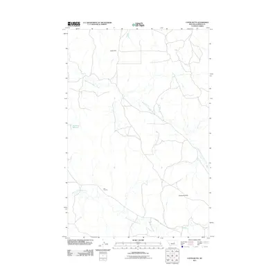
1967 Hagen Gap
Garfield County, MT
1967 Hay Coulee
Garfield County, MT
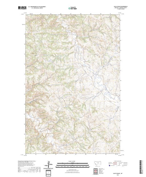
1967 Lelig Coulee
Garfield County, MT
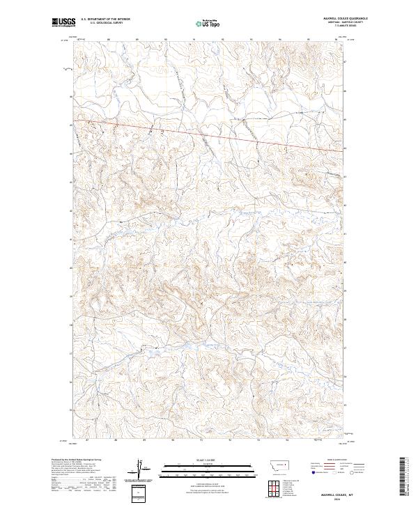
1967 Maxwell Coulee
Garfield County, MT
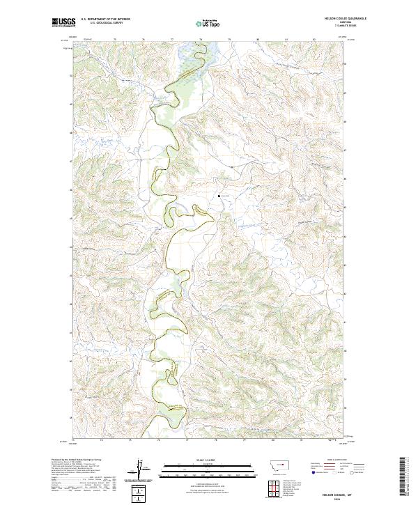
1967 Nelson Coulee
Garfield County, MT
1967 Searl Coulee
Garfield County, MT
1967 Seventynine Coulee
Garfield County, MT
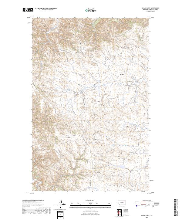
1971 Chalk Butte
Garfield County, MT
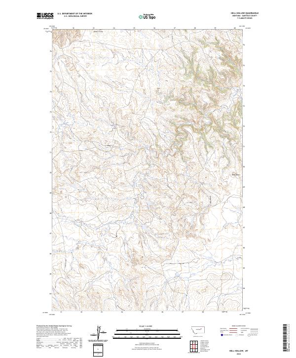
1971 Hell Hollow
Garfield County, MT
1971 Sawmill Creek
Garfield County, MT
1971 Trumbo Ranch
Garfield County, MT
1972 Ash Creek East
Garfield County, MT
1972 Ash Creek West
Garfield County, MT
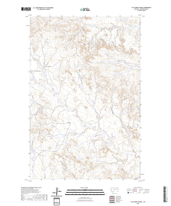
1972 Flat Creek School
Garfield County, MT
1972 Gilbert Creek
Garfield County, MT
1972 Gilbert Creek SE
Garfield County, MT
1972 Kester School
Garfield County, MT
1972 Norville Creek
Garfield County, MT
1972 Short Creek
Garfield County, MT
1972 Signal Butte
Garfield County, MT
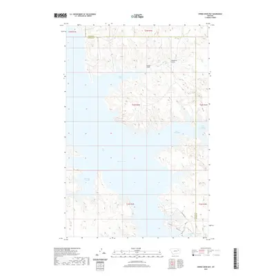
1972 Spring Creek Bay
Garfield County, MT
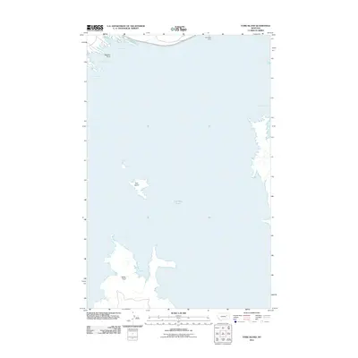
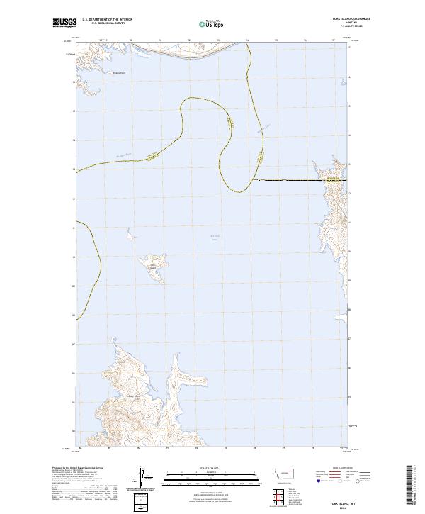
1972 York Island
Garfield County, MT
1978 Fort Peck Lake East
Garfield County, MT
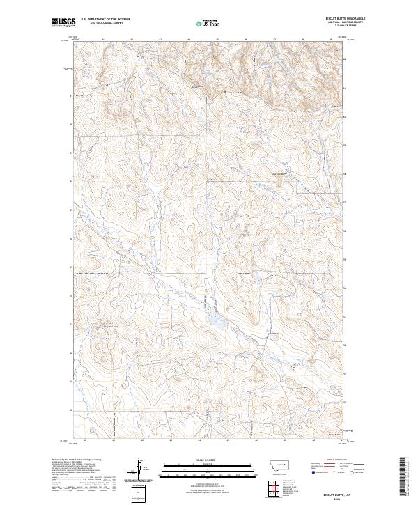
1983 Biscuit Butte
Garfield County, MT
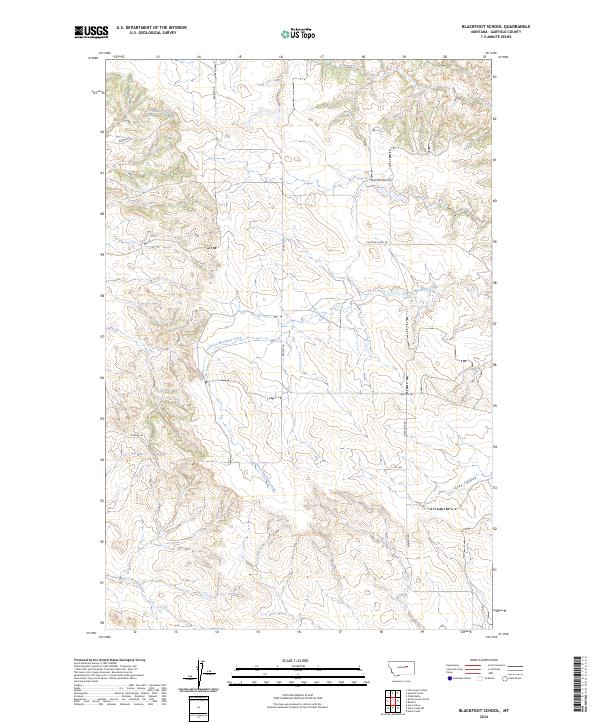
1983 Blackfoot School
Garfield County, MT
1983 Brusett
Garfield County, MT
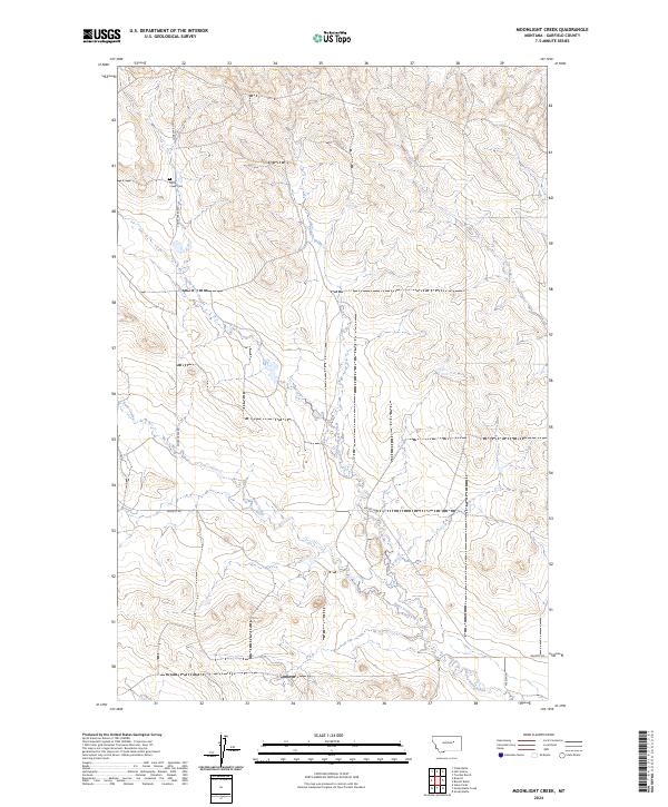
1983 Moonlight Creek
Garfield County, MT
1983 Smoky Butte Creek
Garfield County, MT
1983 Smoky Butte
Garfield County, MT
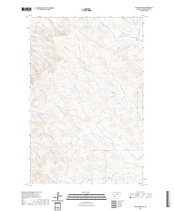
1983 Steve Forks
Garfield County, MT
1983 Steve Forks SW
Garfield County, MT
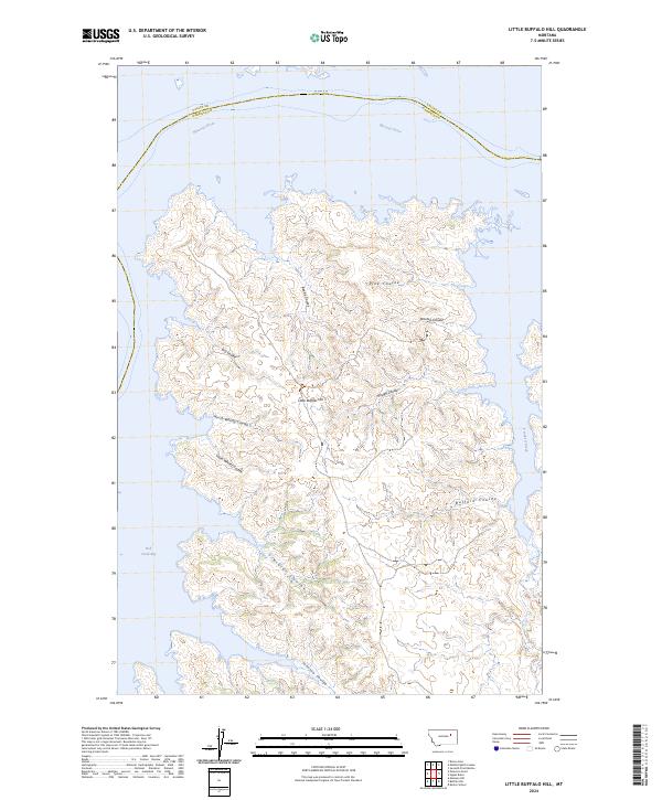
1985 Little Buffalo Hill
Garfield County, MT
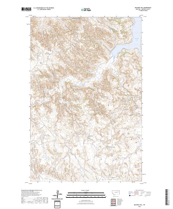
1985 Maloney Hill
Garfield County, MT
1986 Buffalo Hill
Garfield County, MT
1993 Sand Springs
Garfield County, MT
2011 Ada Creek
Garfield County, MT
2011 Antelope Springs
Garfield County, MT
2011 Ash Creek East
Garfield County, MT
2011 Ash Creek West
Garfield County, MT
2011 Barney Pinnacle
Garfield County, MT
2011 Bateman Coulee
Garfield County, MT
2011 Bateman Coulee NE
Garfield County, MT
2011 Benzien
Garfield County, MT
2011 Big Dry School
Garfield County, MT
2011 Biscuit Butte
Garfield County, MT
2011 Blackfoot School
Garfield County, MT
2011 Black Hills
Garfield County, MT
2011 Black John Coulee
Garfield County, MT
2011 Bridge Coulee
Garfield County, MT
2011 Brusett
Garfield County, MT
2011 Buffalo Hill
Garfield County, MT
2011 Calamity Coulee
Garfield County, MT
2011 Cap Rock Butte
Garfield County, MT
2011 Chalk Butte
Garfield County, MT
2011 Christenson Reservoir
Garfield County, MT
2011 Coal Creek
Garfield County, MT
2011 Coffin Butte
Garfield County, MT
2011 Cohagen
Garfield County, MT
2011 Cohagen NE
Garfield County, MT
2011 Cohagen SW
Garfield County, MT
2011 Coleman Coulee
Garfield County, MT
2011 Cox Butte
Garfield County, MT
2011 Darby Buttes
Garfield County, MT
2011 Darby Buttes SW
Garfield County, MT
2011 Dice Dam
Garfield County, MT
2011 Dutton Ranch
Garfield County, MT
2011 Edwards
Garfield County, MT
2011 Emma Butte
Garfield County, MT
2011 Fig Mountain
Garfield County, MT
2011 Flat Creek School
Garfield County, MT
2011 Frank Coulee
Garfield County, MT
2011 Froehlich Butte
Garfield County, MT
2011 Germaine Coulee East
Garfield County, MT
2011 Gilbert Creek
Garfield County, MT
2011 Gilbert Creek SE
Garfield County, MT
2011 Hafla School
Garfield County, MT
2011 Hagen Gap
Garfield County, MT
2011 Hay Coulee
Garfield County, MT
2011 Hedstrom Lake NW
Garfield County, MT
2011 Hell Hollow
Garfield County, MT
2011 Hill Ranch
Garfield County, MT
2011 Hillside
Garfield County, MT
2011 Jordan NE
Garfield County, MT
2011 Jordan NW
Garfield County, MT
2011 Jordan SE
Garfield County, MT
2011 Kester School
Garfield County, MT

2011 Kirby Ranch
Garfield County, MT
2011 Kramer Ranch
Garfield County, MT
2011 Lelig Coulee
Garfield County, MT
2011 Little Buffalo Hill
Garfield County, MT
2011 Little Chalk Butte
Garfield County, MT
2011 Lost Creek
Garfield County, MT
2011 Maloney Hill
Garfield County, MT
2011 Maxwell Coulee
Garfield County, MT
2011 McGinnis Butte
Garfield County, MT
2011 McWilliams Springs
Garfield County, MT
2011 Moonlight Creek
Garfield County, MT
2011 Mother Butte
Garfield County, MT
2011 Nelson Coulee
Garfield County, MT
2011 Norville Creek
Garfield County, MT
2011 Pine Grove School
Garfield County, MT
2011 Robertson School
Garfield County, MT
2011 Sage Creek Point
Garfield County, MT
2011 Sand Springs
Garfield County, MT
2011 Sawmill Creek
Garfield County, MT
2011 School Butte
Garfield County, MT
2011 Searl Coulee
Garfield County, MT
2011 Seventynine Coulee
Garfield County, MT
2011 Short Creek
Garfield County, MT
2011 Signal Butte
Garfield County, MT
2011 Sleepy Hollow
Garfield County, MT
2011 Smoky Butte Creek
Garfield County, MT
2011 Smoky Butte
Garfield County, MT
2011 Spring Creek Bay
Garfield County, MT
2011 Spring Creek School
Garfield County, MT
2011 Steve Forks
Garfield County, MT
2011 Steve Forks SW
Garfield County, MT
2011 Tree Coulee School
Garfield County, MT
2011 Trumbo Ranch
Garfield County, MT
2011 Twin Buttes
Garfield County, MT
2011 Van Dusen Spring
Garfield County, MT
2011 Whiteside Ranch
Garfield County, MT
2011 York Island
Garfield County, MT
2011 York Reservoir
Garfield County, MT
2011 Ziegele Coulee
Garfield County, MT
2014 Ada Creek
Garfield County, MT
2014 Antelope Springs
Garfield County, MT
2014 Ash Creek East
Garfield County, MT
2014 Ash Creek West
Garfield County, MT
2014 Barney Pinnacle
Garfield County, MT
2014 Bateman Coulee
Garfield County, MT
2014 Bateman Coulee NE
Garfield County, MT
2014 Benzien
Garfield County, MT
2014 Big Dry School
Garfield County, MT
2014 Biscuit Butte
Garfield County, MT
2014 Blackfoot School
Garfield County, MT
2014 Black Hills
Garfield County, MT
2014 Black John Coulee
Garfield County, MT
2014 Bridge Coulee
Garfield County, MT
2014 Brusett
Garfield County, MT
2014 Buffalo Hill
Garfield County, MT
2014 Calamity Coulee
Garfield County, MT
2014 Cap Rock Butte
Garfield County, MT
2014 Chalk Butte
Garfield County, MT
2014 Christenson Reservoir
Garfield County, MT
2014 Coal Creek
Garfield County, MT
2014 Coffin Butte
Garfield County, MT
2014 Cohagen
Garfield County, MT
2014 Cohagen NE
Garfield County, MT
2014 Cohagen SW
Garfield County, MT
2014 Coleman Coulee
Garfield County, MT
2014 Cox Butte
Garfield County, MT
2014 Darby Buttes
Garfield County, MT
2014 Darby Buttes SW
Garfield County, MT
2014 Dice Dam
Garfield County, MT
2014 Dutton Ranch
Garfield County, MT
2014 Edwards
Garfield County, MT
2014 Emma Butte
Garfield County, MT
2014 Fig Mountain
Garfield County, MT
2014 Flat Creek School
Garfield County, MT

2014 Frank Coulee
Garfield County, MT
2014 Froehlich Butte
Garfield County, MT
2014 Germaine Coulee East
Garfield County, MT
2014 Gilbert Creek
Garfield County, MT
2014 Gilbert Creek SE
Garfield County, MT
2014 Hafla School
Garfield County, MT
2014 Hagen Gap
Garfield County, MT
2014 Hay Coulee
Garfield County, MT
2014 Hedstrom Lake NW
Garfield County, MT
2014 Hell Hollow
Garfield County, MT
2014 Hill Ranch
Garfield County, MT
2014 Hillside
Garfield County, MT
2014 Jordan NE
Garfield County, MT
2014 Jordan NW
Garfield County, MT
2014 Jordan SE
Garfield County, MT
2014 Kester School
Garfield County, MT
2014 Kirby Ranch
Garfield County, MT
2014 Kramer Ranch
Garfield County, MT
2014 Lelig Coulee
Garfield County, MT
2014 Little Buffalo Hill
Garfield County, MT
2014 Little Chalk Butte
Garfield County, MT
2014 Lost Creek
Garfield County, MT
2014 Maloney Hill
Garfield County, MT
2014 Maxwell Coulee
Garfield County, MT
2014 McGinnis Butte
Garfield County, MT
2014 McWilliams Springs
Garfield County, MT

2014 Moonlight Creek
Garfield County, MT
2014 Mother Butte
Garfield County, MT
2014 Nelson Coulee
Garfield County, MT
2014 Norville Creek
Garfield County, MT
2014 Pine Grove School
Garfield County, MT
2014 Robertson School
Garfield County, MT
2014 Sage Creek Point
Garfield County, MT
2014 Sand Springs
Garfield County, MT
2014 Sawmill Creek
Garfield County, MT
2014 School Butte
Garfield County, MT

2014 Searl Coulee
Garfield County, MT
2014 Seventynine Coulee
Garfield County, MT
2014 Short Creek
Garfield County, MT
2014 Signal Butte
Garfield County, MT
2014 Sleepy Hollow
Garfield County, MT
2014 Smoky Butte Creek
Garfield County, MT
2014 Smoky Butte
Garfield County, MT
2014 Spring Creek Bay
Garfield County, MT
2014 Spring Creek School
Garfield County, MT
2014 Steve Forks
Garfield County, MT
2014 Steve Forks SW
Garfield County, MT
2014 Tree Coulee School
Garfield County, MT
2014 Trumbo Ranch
Garfield County, MT
2014 Twin Buttes
Garfield County, MT
2014 Van Dusen Spring
Garfield County, MT
2014 Whiteside Ranch
Garfield County, MT
2014 York Island
Garfield County, MT
2014 York Reservoir
Garfield County, MT
2014 Ziegele Coulee
Garfield County, MT
2017 Ada Creek
Garfield County, MT
2017 Antelope Springs
Garfield County, MT
2017 Ash Creek East
Garfield County, MT
2017 Ash Creek West
Garfield County, MT
2017 Barney Pinnacle
Garfield County, MT
2017 Bateman Coulee
Garfield County, MT
2017 Bateman Coulee NE
Garfield County, MT
2017 Benzien
Garfield County, MT
2017 Big Dry School
Garfield County, MT
2017 Biscuit Butte
Garfield County, MT
2017 Blackfoot School
Garfield County, MT
2017 Black Hills
Garfield County, MT
2017 Black John Coulee
Garfield County, MT
2017 Bridge Coulee
Garfield County, MT
2017 Brusett
Garfield County, MT
2017 Buffalo Hill
Garfield County, MT
2017 Calamity Coulee
Garfield County, MT
2017 Cap Rock Butte
Garfield County, MT
2017 Chalk Butte
Garfield County, MT
2017 Christenson Reservoir
Garfield County, MT
2017 Coal Creek
Garfield County, MT
2017 Coffin Butte
Garfield County, MT
2017 Cohagen
Garfield County, MT
2017 Cohagen NE
Garfield County, MT
2017 Cohagen SW
Garfield County, MT
2017 Coleman Coulee
Garfield County, MT
2017 Cox Butte
Garfield County, MT
2017 Darby Buttes
Garfield County, MT
2017 Darby Buttes SW
Garfield County, MT
2017 Dice Dam
Garfield County, MT
2017 Dutton Ranch
Garfield County, MT
2017 Edwards
Garfield County, MT
2017 Emma Butte
Garfield County, MT
2017 Fig Mountain
Garfield County, MT
2017 Flat Creek School
Garfield County, MT
2017 Frank Coulee
Garfield County, MT
2017 Froehlich Butte
Garfield County, MT
2017 Germaine Coulee East
Garfield County, MT
2017 Gilbert Creek
Garfield County, MT
2017 Gilbert Creek SE
Garfield County, MT
2017 Hafla School
Garfield County, MT
2017 Hagen Gap
Garfield County, MT
2017 Hay Coulee
Garfield County, MT
2017 Hedstrom Lake NW
Garfield County, MT
2017 Hell Hollow
Garfield County, MT
2017 Hill Ranch
Garfield County, MT
2017 Hillside
Garfield County, MT
2017 Jordan NE
Garfield County, MT
2017 Jordan NW
Garfield County, MT
2017 Jordan SE
Garfield County, MT
2017 Kester School
Garfield County, MT
2017 Kirby Ranch
Garfield County, MT
2017 Kramer Ranch
Garfield County, MT
2017 Lelig Coulee
Garfield County, MT
2017 Little Buffalo Hill
Garfield County, MT
2017 Little Chalk Butte
Garfield County, MT
2017 Lost Creek
Garfield County, MT
2017 Maloney Hill
Garfield County, MT
2017 Maxwell Coulee
Garfield County, MT
2017 McGinnis Butte
Garfield County, MT
2017 McWilliams Springs
Garfield County, MT
2017 Moonlight Creek
Garfield County, MT
2017 Mother Butte
Garfield County, MT
2017 Nelson Coulee
Garfield County, MT
2017 Norville Creek
Garfield County, MT
2017 Pine Grove School
Garfield County, MT
2017 Robertson School
Garfield County, MT
2017 Sage Creek Point
Garfield County, MT
2017 Sand Springs
Garfield County, MT
2017 Sawmill Creek
Garfield County, MT
2017 School Butte
Garfield County, MT
2017 Searl Coulee
Garfield County, MT
2017 Seventynine Coulee
Garfield County, MT
2017 Short Creek
Garfield County, MT
2017 Signal Butte
Garfield County, MT
2017 Sleepy Hollow
Garfield County, MT
2017 Smoky Butte Creek
Garfield County, MT
2017 Smoky Butte
Garfield County, MT
2017 Spring Creek Bay
Garfield County, MT
2017 Spring Creek School
Garfield County, MT
2017 Steve Forks
Garfield County, MT
2017 Steve Forks SW
Garfield County, MT
2017 Tree Coulee School
Garfield County, MT

2017 Trumbo Ranch
Garfield County, MT
2017 Twin Buttes
Garfield County, MT
2017 Van Dusen Spring
Garfield County, MT
2017 Whiteside Ranch
Garfield County, MT

2017 York Island
Garfield County, MT
2017 York Reservoir
Garfield County, MT
2017 Ziegele Coulee
Garfield County, MT
2020 Ada Creek
Garfield County, MT
2020 Antelope Springs
Garfield County, MT
2020 Ash Creek East
Garfield County, MT
2020 Ash Creek West
Garfield County, MT
2020 Barney Pinnacle
Garfield County, MT
2020 Bateman Coulee
Garfield County, MT
2020 Bateman Coulee NE
Garfield County, MT

2020 Benzien
Garfield County, MT
2020 Big Dry School
Garfield County, MT
2020 Biscuit Butte
Garfield County, MT
2020 Blackfoot School
Garfield County, MT
2020 Black Hills
Garfield County, MT
2020 Black John Coulee
Garfield County, MT
2020 Bridge Coulee
Garfield County, MT
2020 Brusett
Garfield County, MT
2020 Buffalo Hill
Garfield County, MT
2020 Calamity Coulee
Garfield County, MT
2020 Cap Rock Butte
Garfield County, MT
2020 Chalk Butte
Garfield County, MT
2020 Christenson Reservoir
Garfield County, MT
2020 Coal Creek
Garfield County, MT
2020 Coffin Butte
Garfield County, MT
2020 Cohagen
Garfield County, MT
2020 Cohagen NE
Garfield County, MT
2020 Cohagen SW
Garfield County, MT
2020 Coleman Coulee
Garfield County, MT
2020 Cox Butte
Garfield County, MT
2020 Darby Buttes
Garfield County, MT
2020 Darby Buttes SW
Garfield County, MT
2020 Dice Dam
Garfield County, MT
2020 Dutton Ranch
Garfield County, MT
2020 Edwards
Garfield County, MT
2020 Emma Butte
Garfield County, MT
2020 Fig Mountain
Garfield County, MT
2020 Flat Creek School
Garfield County, MT
2020 Frank Coulee
Garfield County, MT
2020 Froehlich Butte
Garfield County, MT
2020 Germaine Coulee East
Garfield County, MT
2020 Gilbert Creek
Garfield County, MT
2020 Gilbert Creek SE
Garfield County, MT
2020 Hafla School
Garfield County, MT
2020 Hagen Gap
Garfield County, MT
2020 Hay Coulee
Garfield County, MT
2020 Hedstrom Lake NW
Garfield County, MT
2020 Hell Hollow
Garfield County, MT
2020 Hill Ranch
Garfield County, MT
2020 Hillside
Garfield County, MT
2020 Jordan NE
Garfield County, MT
2020 Jordan NW
Garfield County, MT
2020 Jordan SE
Garfield County, MT
2020 Kester School
Garfield County, MT
2020 Kirby Ranch
Garfield County, MT
2020 Kramer Ranch
Garfield County, MT
2020 Lelig Coulee
Garfield County, MT
2020 Little Buffalo Hill
Garfield County, MT
2020 Little Chalk Butte
Garfield County, MT
2020 Lost Creek
Garfield County, MT
2020 Maloney Hill
Garfield County, MT

2020 Maxwell Coulee
Garfield County, MT
2020 McGinnis Butte
Garfield County, MT
2020 McWilliams Springs
Garfield County, MT
2020 Moonlight Creek
Garfield County, MT
2020 Mother Butte
Garfield County, MT
2020 Nelson Coulee
Garfield County, MT
2020 Norville Creek
Garfield County, MT
2020 Pine Grove School
Garfield County, MT
2020 Robertson School
Garfield County, MT
2020 Sage Creek Point
Garfield County, MT
2020 Sand Springs
Garfield County, MT
2020 Sawmill Creek
Garfield County, MT
2020 School Butte
Garfield County, MT
2020 Searl Coulee
Garfield County, MT
2020 Seventynine Coulee
Garfield County, MT
2020 Short Creek
Garfield County, MT
2020 Signal Butte
Garfield County, MT
2020 Sleepy Hollow
Garfield County, MT
2020 Smoky Butte Creek
Garfield County, MT
2020 Smoky Butte
Garfield County, MT
2020 Spring Creek Bay
Garfield County, MT
2020 Spring Creek School
Garfield County, MT
2020 Steve Forks
Garfield County, MT
2020 Steve Forks SW
Garfield County, MT
2020 Tree Coulee School
Garfield County, MT
2020 Trumbo Ranch
Garfield County, MT
2020 Twin Buttes
Garfield County, MT
2020 Van Dusen Spring
Garfield County, MT
2020 Whiteside Ranch
Garfield County, MT
2020 York Island
Garfield County, MT
2020 York Reservoir
Garfield County, MT
2020 Ziegele Coulee
Garfield County, MT
2024 Ada Creek
Garfield County, MT
2024 Antelope Springs
Garfield County, MT
2024 Ash Creek East
Garfield County, MT
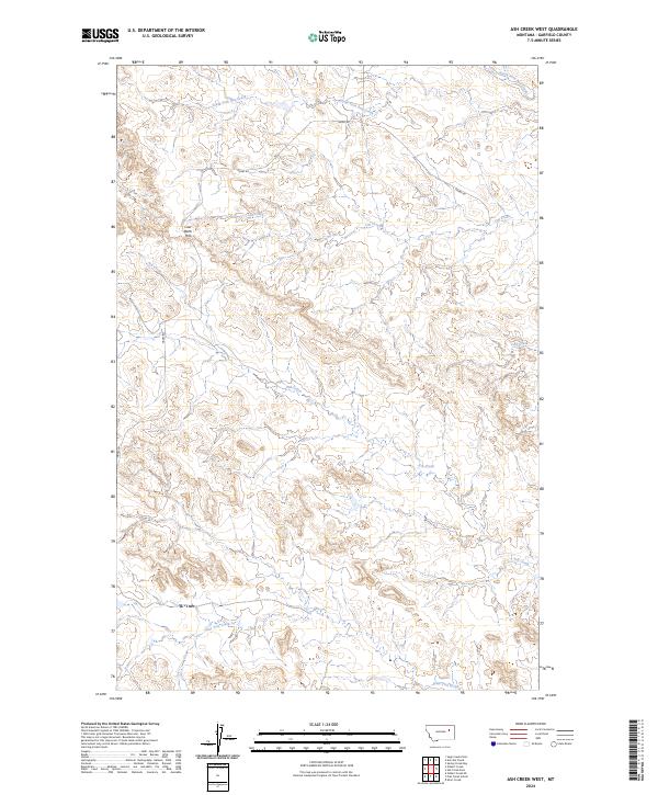
2024 Ash Creek West
Garfield County, MT
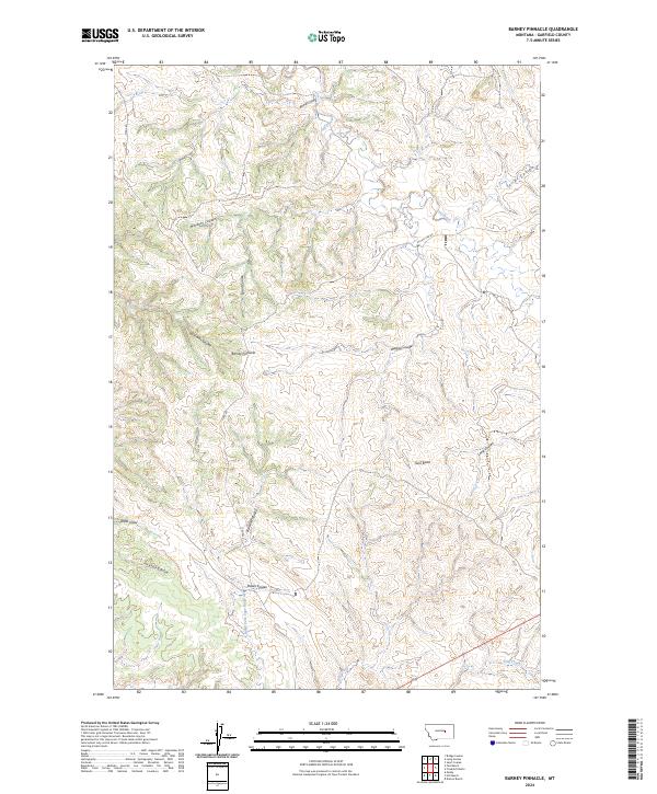
2024 Barney Pinnacle
Garfield County, MT
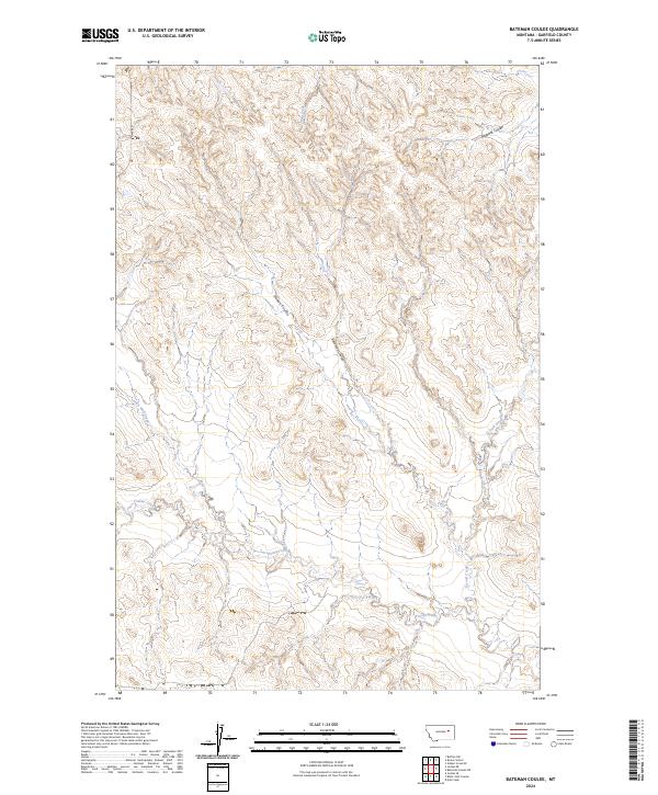
2024 Bateman Coulee
Garfield County, MT
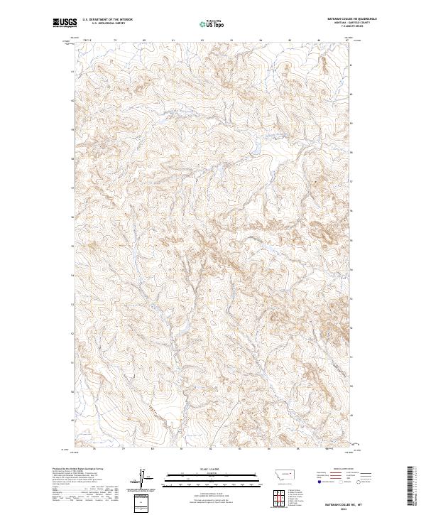
2024 Bateman Coulee NE
Garfield County, MT

2024 Benzien
Garfield County, MT
2024 Big Dry School
Garfield County, MT
2024 Biscuit Butte
Garfield County, MT
2024 Blackfoot School
Garfield County, MT
2024 Black Hills
Garfield County, MT
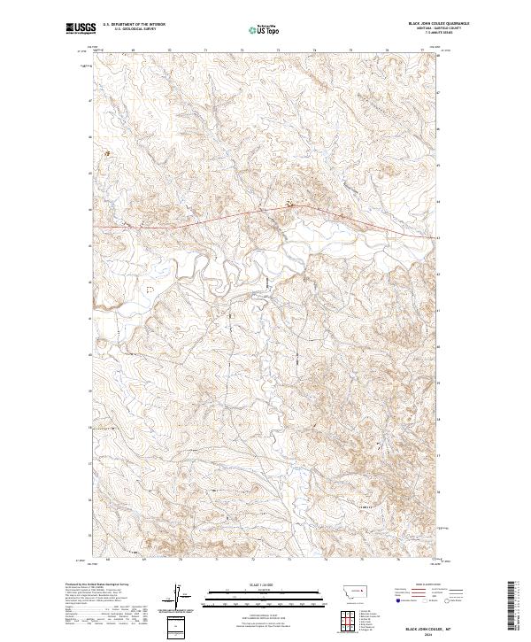
2024 Black John Coulee
Garfield County, MT
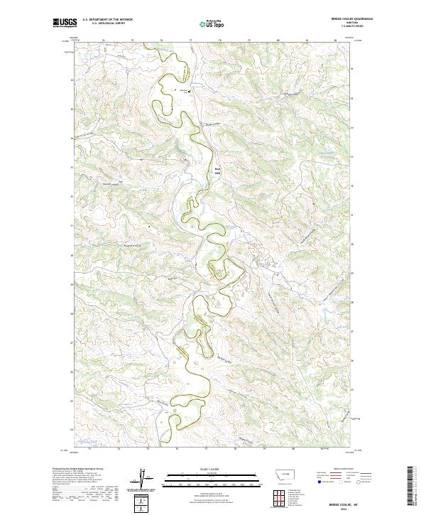
2024 Bridge Coulee
Garfield County, MT
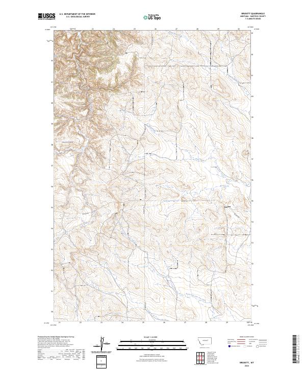
2024 Brusett
Garfield County, MT
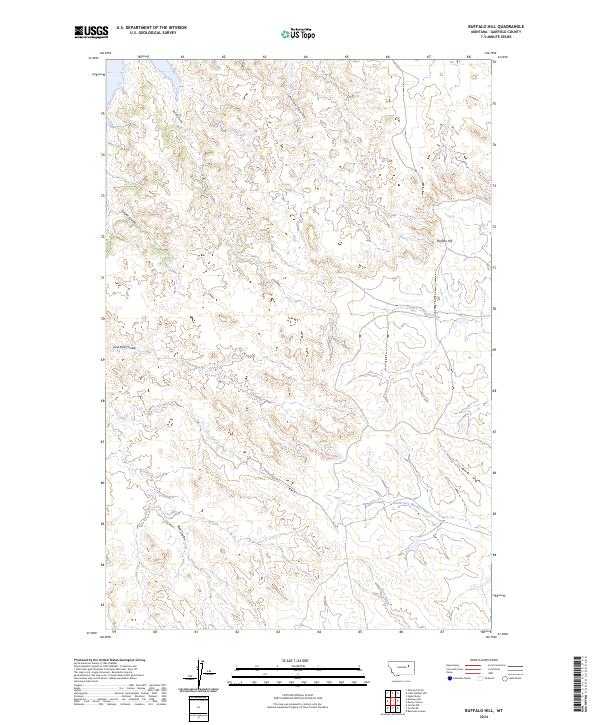
2024 Buffalo Hill
Garfield County, MT
2024 Calamity Coulee
Garfield County, MT
2024 Cap Rock Butte
Garfield County, MT
2024 Chalk Butte
Garfield County, MT
2024 Christenson Reservoir
Garfield County, MT
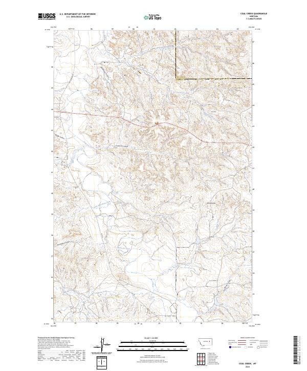
2024 Coal Creek
Garfield County, MT
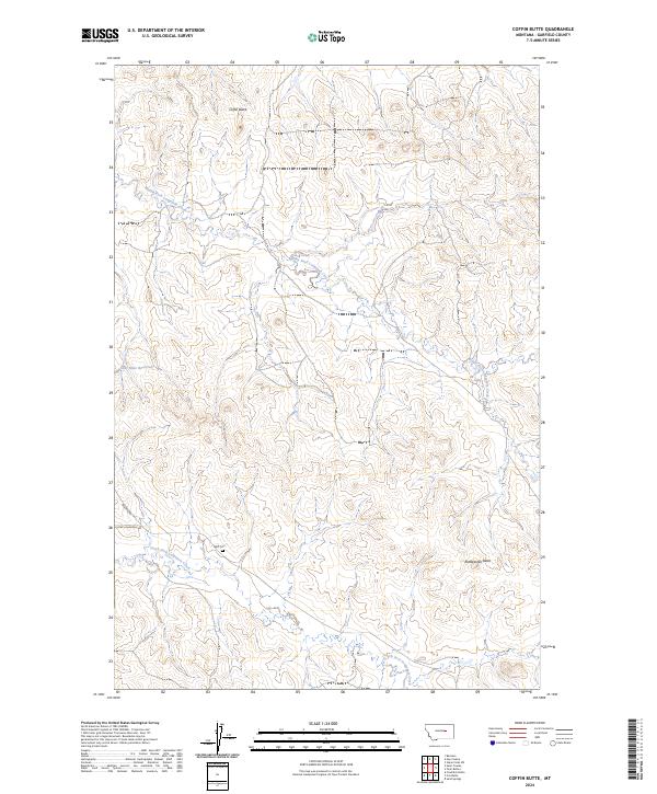
2024 Coffin Butte
Garfield County, MT
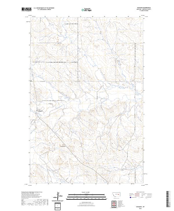
2024 Cohagen
Garfield County, MT
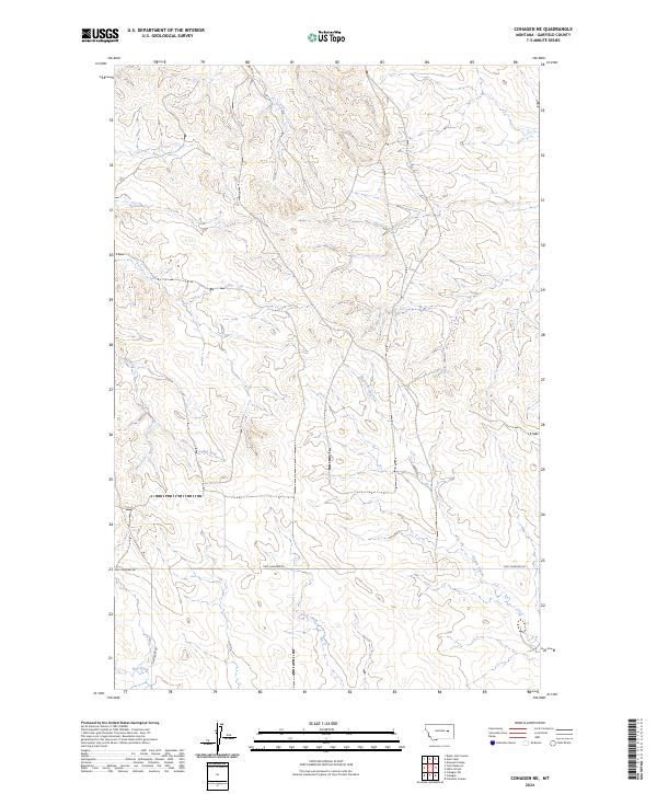
2024 Cohagen NE
Garfield County, MT
2024 Cohagen SW
Garfield County, MT
2024 Coleman Coulee
Garfield County, MT
2024 Cox Butte
Garfield County, MT
2024 Darby Buttes
Garfield County, MT
2024 Darby Buttes SW
Garfield County, MT
2024 Dice Dam
Garfield County, MT
2024 Dutton Ranch
Garfield County, MT
2024 Edwards
Garfield County, MT
2024 Emma Butte
Garfield County, MT
2024 Fig Mountain
Garfield County, MT
2024 Flat Creek School
Garfield County, MT
2024 Frank Coulee
Garfield County, MT
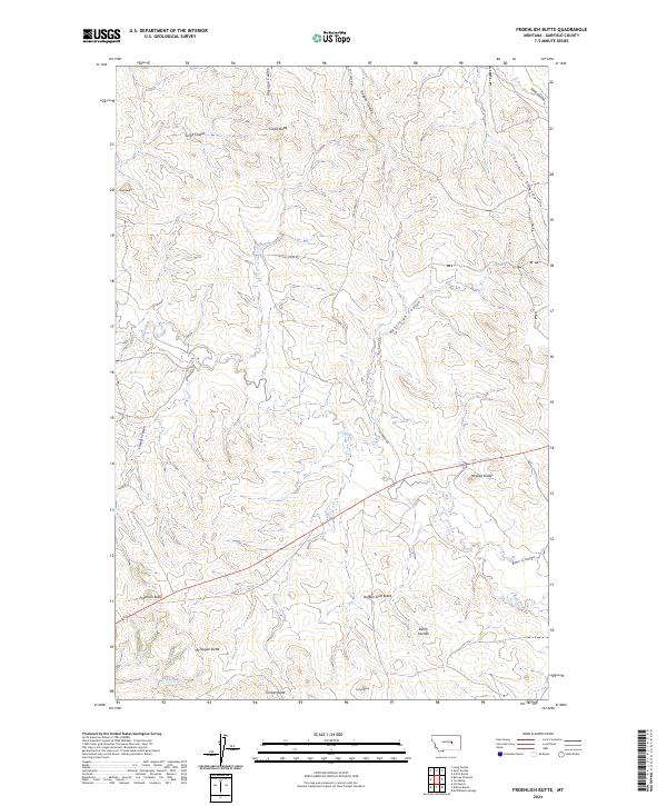
2024 Froehlich Butte
Garfield County, MT
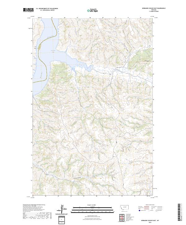
2024 Germaine Coulee East
Garfield County, MT
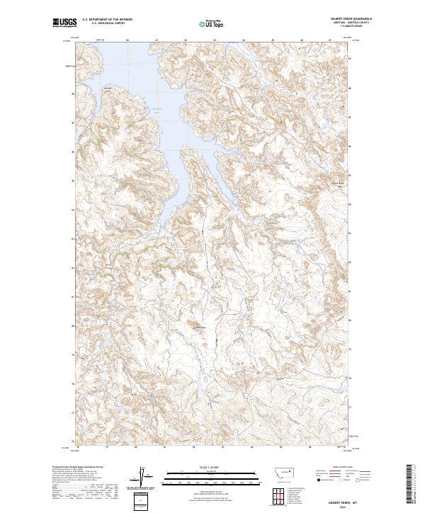
2024 Gilbert Creek
Garfield County, MT
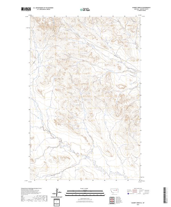
2024 Gilbert Creek SE
Garfield County, MT
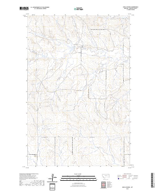
2024 Hafla School
Garfield County, MT
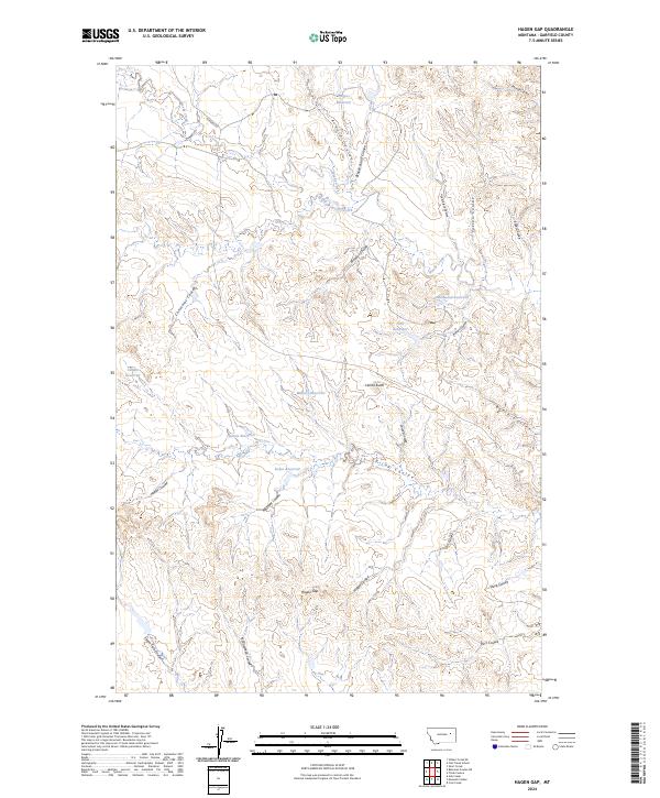
2024 Hagen Gap
Garfield County, MT
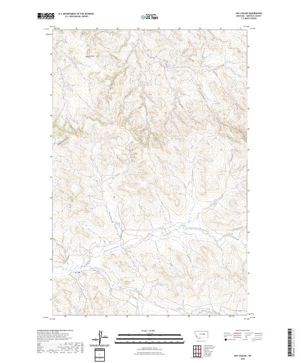
2024 Hay Coulee
Garfield County, MT
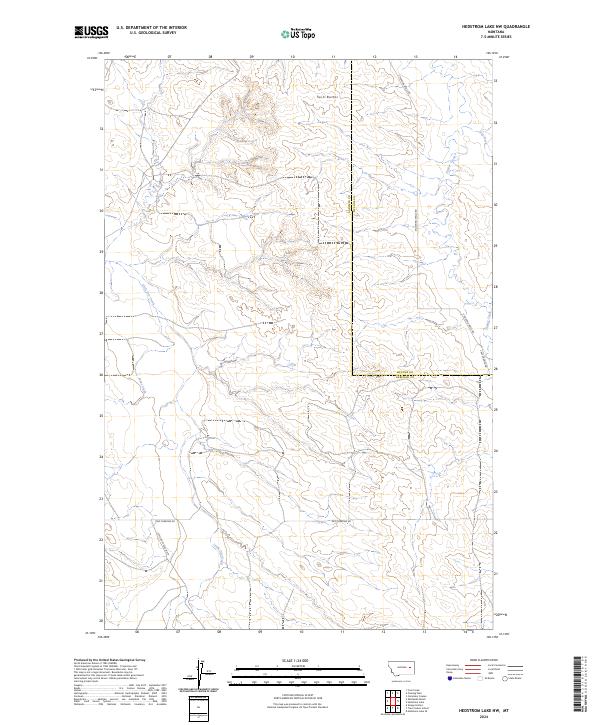
2024 Hedstrom Lake NW
Garfield County, MT
2024 Hell Hollow
Garfield County, MT
2024 Hill Ranch
Garfield County, MT
2024 Hillside
Garfield County, MT
2024 Jordan NE
Garfield County, MT
2024 Jordan NW
Garfield County, MT
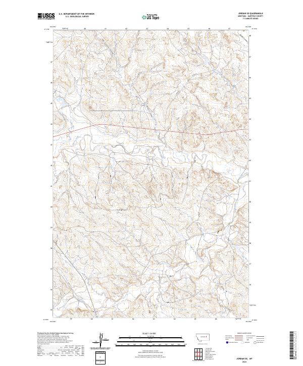
2024 Jordan SE
Garfield County, MT
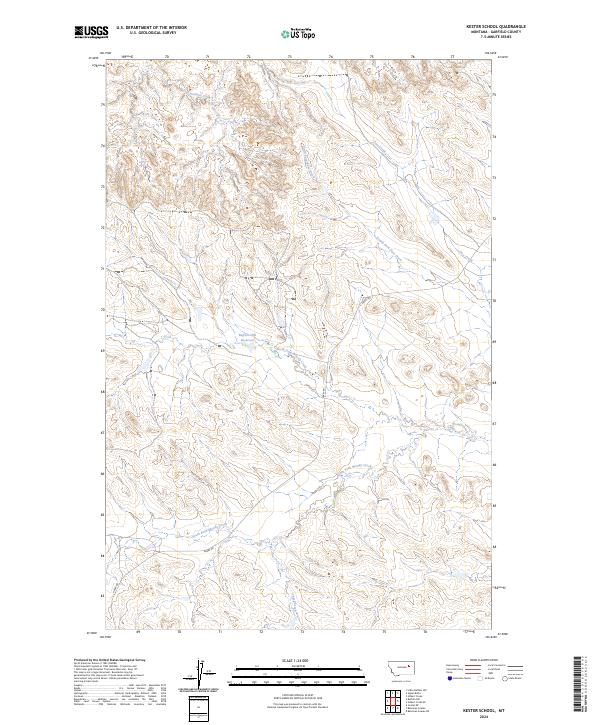
2024 Kester School
Garfield County, MT
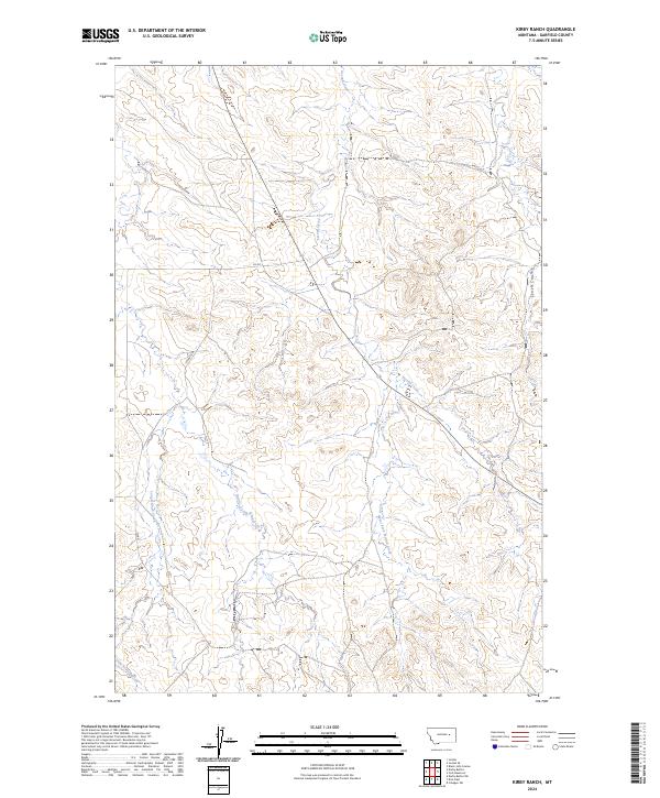
2024 Kirby Ranch
Garfield County, MT
2024 Kramer Ranch
Garfield County, MT
2024 Lelig Coulee
Garfield County, MT
2024 Little Buffalo Hill
Garfield County, MT
2024 Little Chalk Butte
Garfield County, MT
2024 Lost Creek
Garfield County, MT
2024 Maloney Hill
Garfield County, MT
2024 Maxwell Coulee
Garfield County, MT
2024 McGinnis Butte
Garfield County, MT
2024 McWilliams Springs
Garfield County, MT
2024 Moonlight Creek
Garfield County, MT
2024 Mother Butte
Garfield County, MT
2024 Nelson Coulee
Garfield County, MT
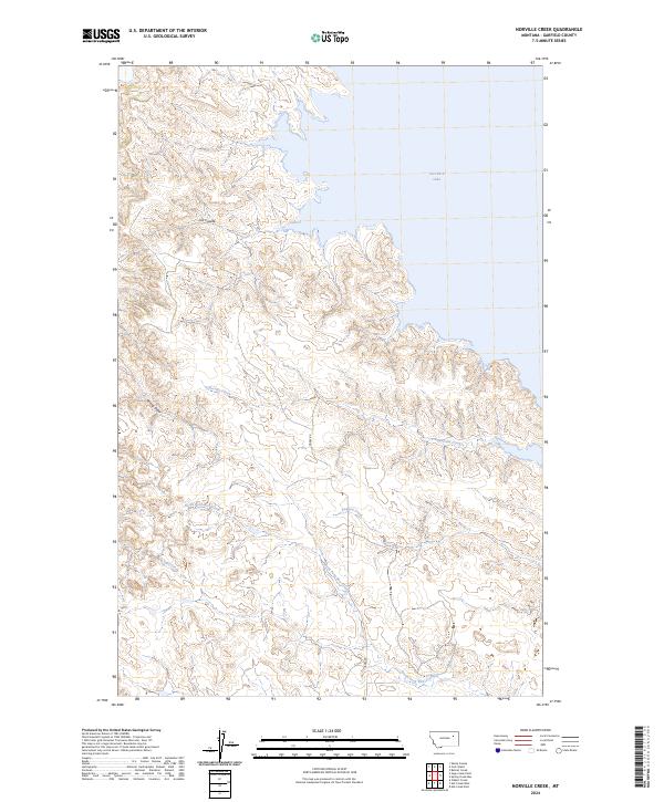
2024 Norville Creek
Garfield County, MT
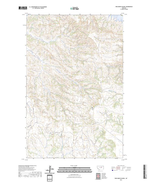
2024 Pine Grove School
Garfield County, MT
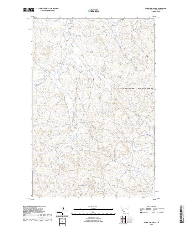
2024 Robertson School
Garfield County, MT
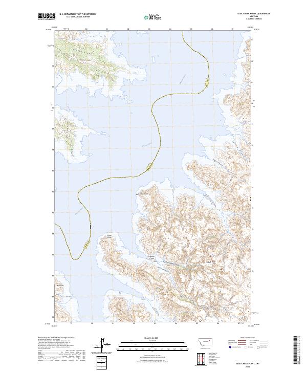
2024 Sage Creek Point
Garfield County, MT
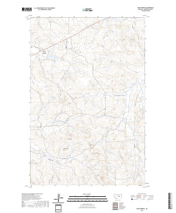
2024 Sand Springs
Garfield County, MT
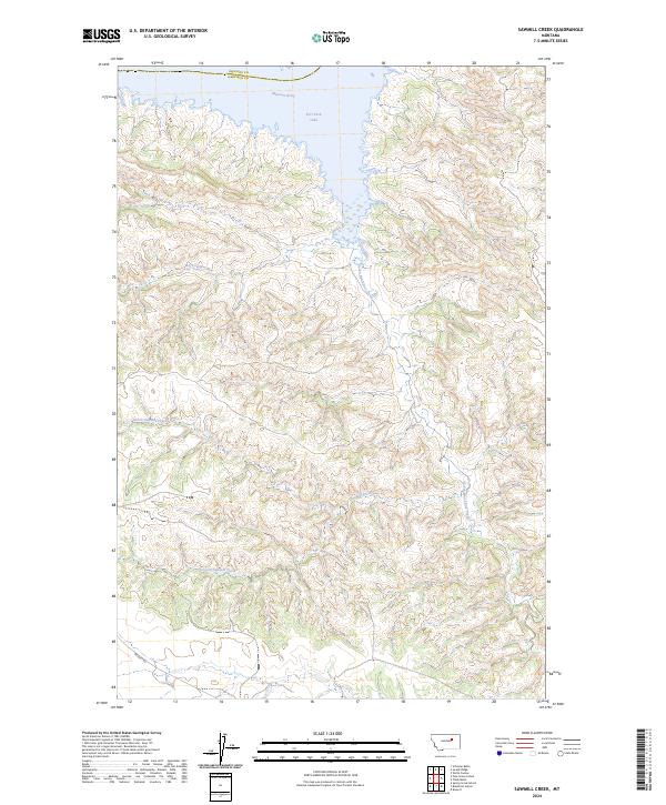
2024 Sawmill Creek
Garfield County, MT
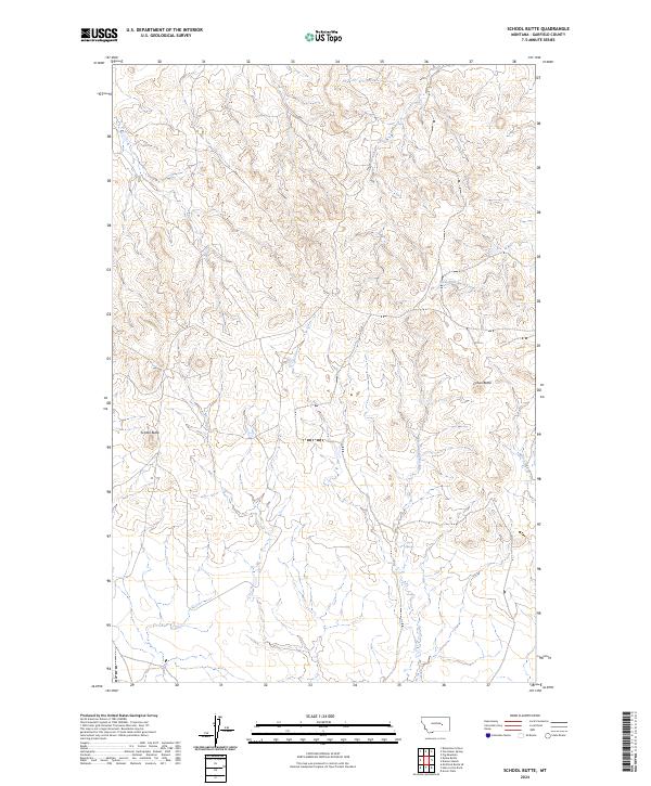
2024 School Butte
Garfield County, MT
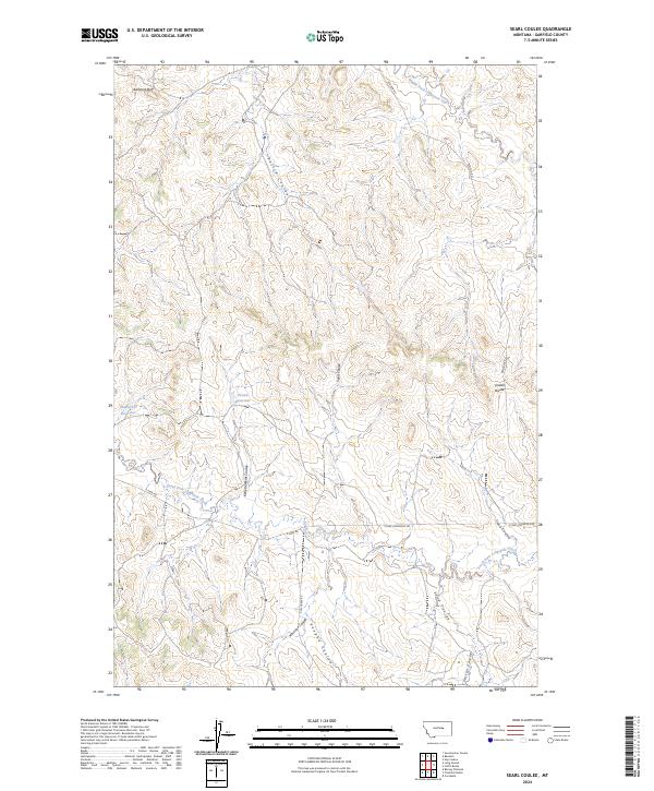
2024 Searl Coulee
Garfield County, MT
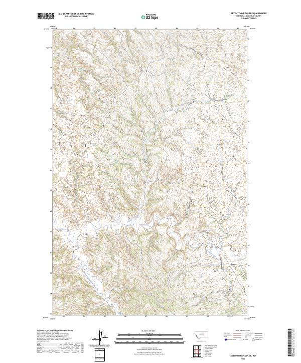
2024 Seventynine Coulee
Garfield County, MT
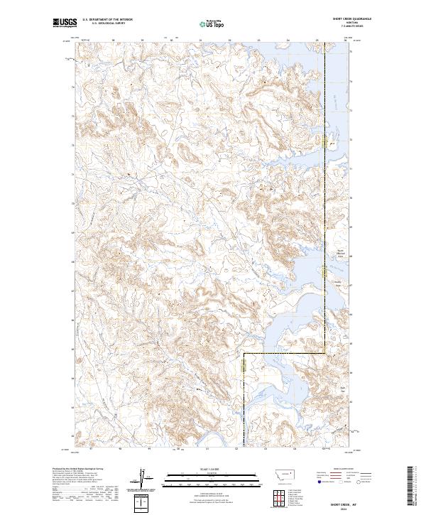
2024 Short Creek
Garfield County, MT
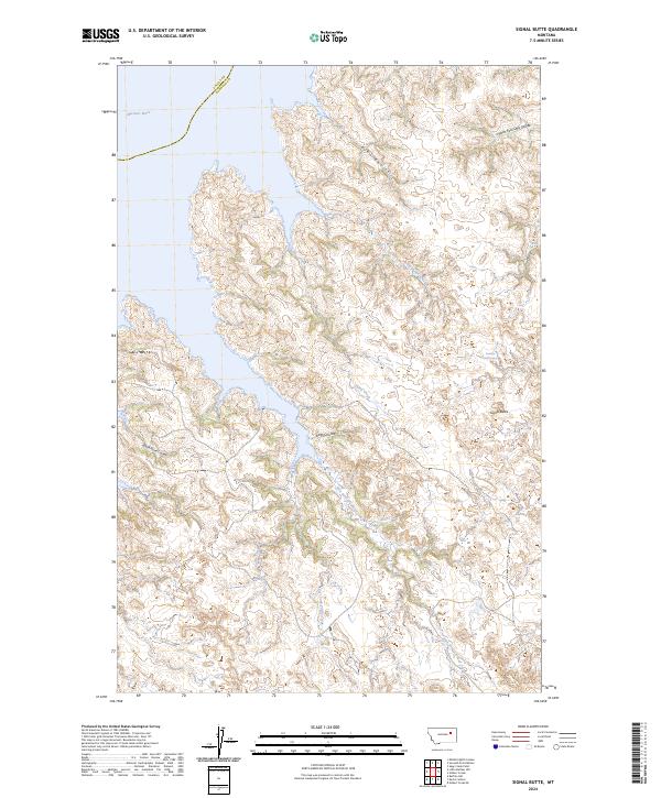
2024 Signal Butte
Garfield County, MT
2024 Sleepy Hollow
Garfield County, MT
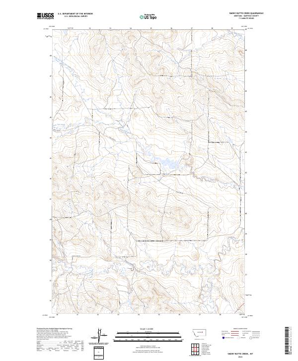
2024 Smoky Butte Creek
Garfield County, MT
2024 Smoky Butte
Garfield County, MT
2024 Spring Creek Bay
Garfield County, MT
2024 Spring Creek School
Garfield County, MT
2024 Steve Forks
Garfield County, MT
2024 Steve Forks SW
Garfield County, MT
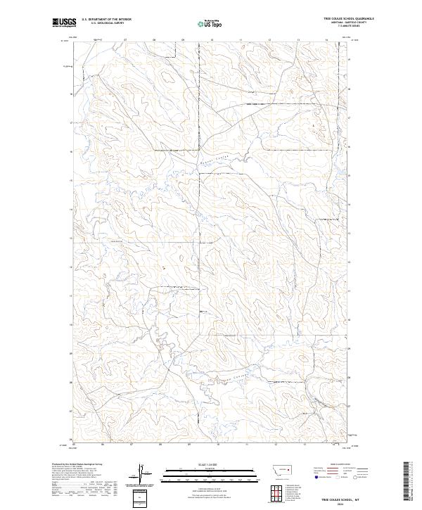
2024 Tree Coulee School
Garfield County, MT
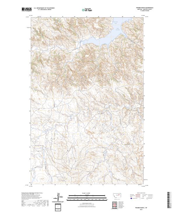
2024 Trumbo Ranch
Garfield County, MT
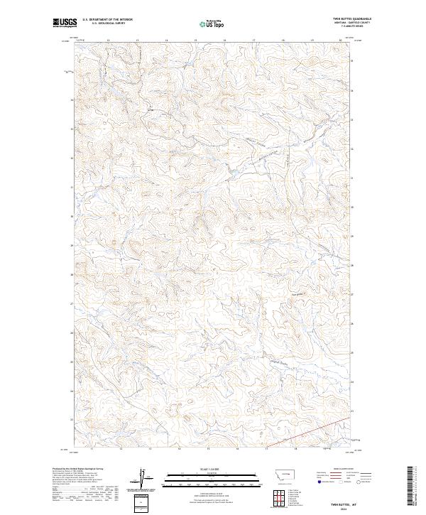
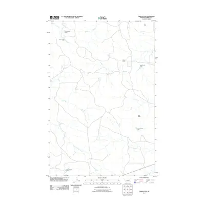
2024 Twin Buttes
Garfield County, MT
2024 Van Dusen Spring
Garfield County, MT
2024 Whiteside Ranch
Garfield County, MT
2024 York Island
Garfield County, MT
2024 York Reservoir
Garfield County, MT
2024 Ziegele Coulee
Garfield County, MT