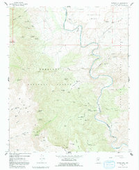
1967 Map of Horner Mtn
USGS Topo · Published 1992About this map
Verde River waters wind through a deep canyon landscape where the Prescott National Forest and Coconino National Forest meet. This mid-1960s survey documents a region defined by high mesas and seasonal springs, including Wingfield Mesa and the expansive Cottonwood Basin. Evidence of local industry and habitation appears in the north at the Squaw Peak Mine and further south at Brown Springs Ranch, connected by a network of rugged pack trails and 4WD tracks. Landmark features like The Falls along the river and the Landing Strip on the plateau highlight the area's utility for both recreation and transit. The terrain transitions from the heights of Squaw Peak and Horner Mtn down into named drainages like Chasm Creek and Towel Creek, illustrating a classic Arizona interior landscape before modern development altered its character.
Find a feature on this map
63 named features on this map. Tap any name to fly to it.
Don’t see what you’re looking for? This feature index may not catch every label — zoom into the map to look around manually.
Map Details
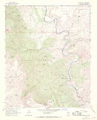
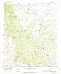
Editions of this 1967 Horner Mtn Map
3 editions found
Other maps of this area

1887 · Verde
USGS Topo · 1:250,000

1892 · Verde
USGS Topo · 1:250,000

1923 · Camp Verde
USGS Topo · 1:125,000

1929 · Turret Peak
USGS Topo · 1:125,000

1932 · Camp Verde
USGS Topo · 1:125,000

1933 · Turret Peak
USGS Topo · 1:125,000

1936 · Camp Verde
USGS Topo · 1:125,000

1954 · Holbrook
USGS Topo · 1:250,000

1957 · Holbrook
USGS Topo · 1:250,000

1958 · Holbrook
USGS Topo · 1:250,000