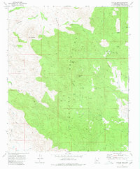
1969 Map of Weaver Peak
USGS Topo · Published 1980About this map
The Weaver Mountains define this high-altitude landscape in Yavapai County, where steep slopes and winding drainages converge on prominent summits like Weaver Peak and Ritter Peak. This late 1960s survey documents a region defined by its mineral prospects and rugged topography, with numerous industrial sites scattered through the canyons. The presence of the Monte Cristo Mine, Buckhorn Mine, and Cuba Mine indicates the persistent legacy of lode mining in the interior range. A network of primitive Jeep Trails provides the primary access to these remote locations, connecting landmarks such as Rocky Boy Peak with water sources like Childers Well and the seasonal flows of Poplar Wash. The mapping of Uslm 2393 underscores the importance of official mineral land monuments for staking and surveying claims in this active mining district.
Find a feature on this map
22 named features on this map. Tap any name to fly to it.
Don’t see what you’re looking for? This feature index may not catch every label — zoom into the map to look around manually.
Map Details
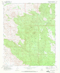
Editions of this 1969 Weaver Peak Map
2 editions found
Other maps of this area

1887 · Prescott
USGS Topo · 1:250,000

1892 · Prescott
USGS Topo · 1:250,000

1903 · Congress
USGS Topo · 1:125,000

1904 · Congress
USGS Topo · 1:125,000

1947 · Kirkland
USGS Topo · 1:62,500

1947 · Wagoner
USGS Topo · 1:62,500

1948 · Kirkland
USGS Topo · 1:63,360

1948 · Wagoner
USGS Topo · 1:63,360

1950 · Wagoner
USGS Topo · 1:62,500
1950 · Kirkland
USGS Topo · 1:62,500