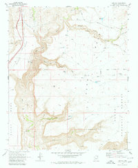
1969 Map of Joes Hill
USGS Topo · Published 1980About this map
The Agua Fria River carves a deep path through the high desert of Yavapai County, separating the expansive volcanic plateau of Black Mesa from Perry Mesa. This late 1960s survey documents a landscape defined by sharp elevation changes and the vital, sparse water sources required for ranching and mining. Evidence of local industry appears at the Richinbar Mine on the edge of the canyon, while a network of water features like Lousy Spring, Perry Windmill, and numerous tanks including Joes Tank and Antelope Tank suggest the region's reliance on managed water.
Find a feature on this map
39 named features on this map. Tap any name to fly to it.
Don’t see what you’re looking for? This feature index may not catch every label — zoom into the map to look around manually.
Map Details
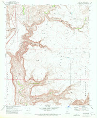
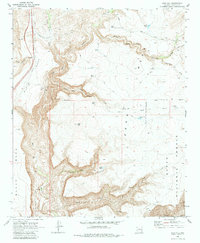
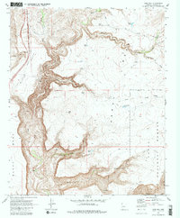
Editions of this 1969 Joes Hill Map
4 editions found
Other maps of this area

1887 · Verde
USGS Topo · 1:250,000

1887 · Prescott
USGS Topo · 1:250,000

1892 · Verde
USGS Topo · 1:250,000

1892 · Prescott
USGS Topo · 1:250,000

1903 · Bradshaw Mountains
USGS Topo · 1:125,000

1929 · Turret Peak
USGS Topo · 1:125,000

1933 · Turret Peak
USGS Topo · 1:125,000

1947 · Bumblebee
USGS Topo · 1:62,500

1947 · Mayer
USGS Topo · 1:62,500

1948 · Bumblebee
USGS Topo · 1:63,360