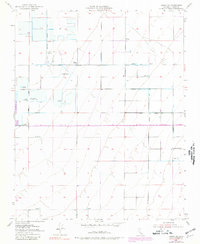
1953 Map of Wasco NW
USGS Topo · Published 1981About this map
Outdoor sporting culture and water management define this portion of the San Joaquin Valley, where numerous private hunting grounds are situated among an grid of agricultural infrastructure. The landscape is characterized by its reliance on irrigation, visible through the Alpaugh Irrigation District Canal and an extensive network of Well sites and reservoirs. A remarkable concentration of sporting clubs, including the Lurline Gun Club, 20th Century Fish & Gun Club, and Pasuza Gun Club, indicates the historical importance of waterfowl hunting in this region, particularly near the banks of Poso Creek. The settlement of Lurline Wells and the Smyrna Substation serve as local landmarks within a surveyed grid of rural roads like Pond Road and Elmo Highway. This map, based on 1950s field checks with 1969 revisions, documents the industrialization of water usage in Kern County's alluvial plains.
Find a feature on this map
27 named features on this map. Tap any name to fly to it.
Don’t see what you’re looking for? This feature index may not catch every label — zoom into the map to look around manually.
Map Details
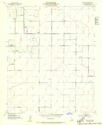
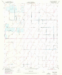
Editions of this 1953 Wasco NW Map
Other maps of this area

1914 · Lost Hills
USGS Topo · 1:125,000

1927 · Semitropic
USGS Topo · 1:31,680

1929 · Hacienda Ranch
USGS Topo · 1:31,680

1929 · Stone
USGS Topo · 1:31,680

1929 · Allensworth
USGS Topo · 1:31,680

1930 · Leonards
USGS Topo · 1:31,680

1930 · Hamlin School
USGS Topo · 1:31,680

1930 · Wasco
USGS Topo · 1:31,680

1930 · Pond
USGS Topo · 1:31,680

1930 · Miramonte Ranch
USGS Topo · 1:31,680