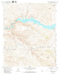
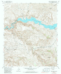
1964 Map of Horse Mesa Dam
USGS Topo · Published 1979About this map
Apache Lake winds through the heart of the Tonto National Forest in this mid-century topographical record. The engineering of the Horse Mesa Dam is a focal point, indicating the managed water systems critical to the Salt River Valley. The terrain is marked by significant vertical relief, from the sheer Painted Cliffs to the prominent Horse Mesa and Fish Creek Peak. For local history researchers, the map identifies isolated human imprints such as Adams Camp and the curious Browns Cave north of the lake. A network of pack trails and jeep trails crisscrosses the southern region, connecting remote landmarks like Black Cross Butte and Mesquite Flat, reflecting the area's use for recreation and land management before the expansion of modern road networks.
Find a feature on this map
46 named features on this map. Tap any name to fly to it.
Don’t see what you’re looking for? This feature index may not catch every label — zoom into the map to look around manually.
Map Details
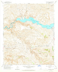
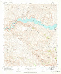
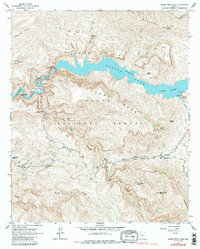
Editions of this 1964 Horse Mesa Dam Map
5 editions found
Other maps of this area

1900 · Florence
USGS Topo · 1:125,000

1902 · Florence
USGS Topo · 1:125,000

1907 · Roosevelt
USGS Topo · 1:125,000

1909 · Four Peaks
USGS Topo · 1:125,000

1912 · Roosevelt
USGS Topo · 1:125,000

1948 · Superior
USGS Topo · 1:62,500

1948 · Iron Mountain
USGS Topo · 1:24,000

1949 · Iron Mountain
USGS Topo · 1:24,000

1954 · Mesa
USGS Topo · 1:250,000

1956 · Goldfield
USGS Topo · 1:24,000