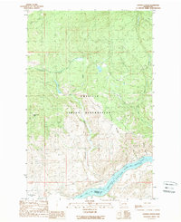
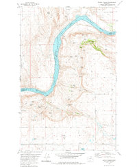
1989 Map of Hopkins Canyon
USGS Topo · Published 1989About this map
The Colville Indian Reservation dominates this 1989 landscape, where the northern high country drops away toward the southern river valley. In the southwest corner, Whitmore Mtn rises above the terrain, while the central portion of the sheet is defined by the deep cut of Hopkins Canyon. A notable information-gain detail for genealogists is a lonely Grave located in the far northeast corner, a solitary marker of human history in an otherwise creek-carved wilderness. The southern boundary is formed by the Columbia River Rufus Woods Lake, where the river pools at the border of Okanogan and Douglas counties. Water sources such as Kartar Creek, Smith-Condon Creek, and the Hamilton Mountain Spring flow through these uplands, providing essential resources for the rugged reservation lands.
Find a feature on this map
16 named features on this map. Tap any name to fly to it.
Don’t see what you’re looking for? This feature index may not catch every label — zoom into the map to look around manually.
Map Details
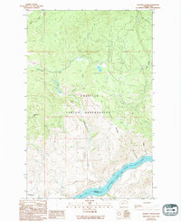
Editions of this 1989 Hopkins Canyon Map
2 editions found
Other maps of this area

1950 · Boot Mtn
USGS Topo · 1:62,500

1950 · Alameda Flat
USGS Topo · 1:62,500

1952 · Alameda Flat
USGS Topo · 1:62,500

1952 · Disautel
USGS Topo · 1:62,500

1953 · Omak Lake
USGS Topo · 1:62,500

1954 · Okanogan
USGS Topo · 1:250,000

1958 · Okanogan
USGS Topo · 1:250,000
1980 · Camp Seven
USGS Topo · 1:24,000
1980 · Boot Mountain
USGS Topo · 1:24,000
1980 · Trefry Canyon
USGS Topo · 1:24,000