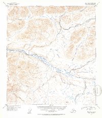
1952 Map of Healy B-3
USGS Topo · Published 1953About this map
Nenana River dominates the central landscape of this interior Alaskan territory, its wide, braided course carving through high elevations. The area is defined by a dense network of alpine drainages including Wells Creek, Seattle Creek, and Brushkana Creek. At the time of this 1952 survey, human infrastructure was minimal, represented primarily by a Proposed Road that traces a path south of the main river valley near Monahan Flat. Vertical control points such as VABM Seattle and VABM Brusk mark the prominent peaks, while the East Fork Jack River and Klumistana Creek drain the surrounding slopes. The presence of the planned roadway suggests early 1950s efforts to establish overland access through this complex river-and-mountain system, bridging the gaps between the major waterways and the expansive basin of Thief Creek to the northeast.
Find a feature on this map
13 named features on this map. Tap any name to fly to it.
Don’t see what you’re looking for? This feature index may not catch every label — zoom into the map to look around manually.
Map Details
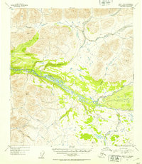
Editions of this 1952 Healy B-3 Map
2 editions found
Other maps of this area

1949 · Healy B-4
USGS Topo · 1:63,360

1949 · Healy C-3
USGS Topo · 1:63,360

1949 · Healy B-2
USGS Topo · 1:63,360

1950 · Healy C-4
USGS Topo · 1:63,360

1950 · Healy A-3
USGS Topo · 1:63,360

1950 · Healy B-3
USGS Topo · 1:63,360

1950 · Healy A-4
USGS Topo · 1:63,360

1951 · Healy
USGS Topo · 1:250,000

1951 · Healy B-4
USGS Topo · 1:63,360

1951 · Healy C-2
USGS Topo · 1:63,360