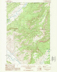
1989 Map of Mount Hornaday
USGS Topo · Published 1989About this map
The Lamar Ranger Station serves as a key human outpost in this high-altitude landscape within Yellowstone National Park. Set at the confluence of the Lamar River and Rose Creek, the area is defined by its dramatic topography and vital waterways. The Northeast Entrance Road snakes through the valley, providing the primary corridor for travel along the river flats between Druid Peak and the high ridges of Bison Peak. Several alpine lakes, including Trout Lake and McBride Lake, are tucked into the drainages of Slough Creek and Soda Butte Creek. This 1989 provisional survey captures the intersection of the Montana Wyoming border, where the wild character of the Park County backcountry is mapped with precision, highlighting the namesake summit of Mount Hornaday.
Find a feature on this map
21 named features on this map. Tap any name to fly to it.
Don’t see what you’re looking for? This feature index may not catch every label — zoom into the map to look around manually.
Map Details
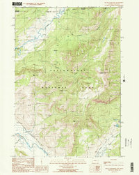
Editions of this 1989 Mount Hornaday Map
2 editions found
Other maps of this area

1886 · Canyon
USGS Topo · 1:125,000

1891 · Livingston
USGS Topo · 1:250,000

1893 · Livingston
USGS Topo · 1:250,000

1895 · Canyon
USGS Topo · 1:125,000

1896 · Canyon
USGS Topo · 1:125,000

1901 · Canyon
USGS Topo · 1:125,000

1907 · Canyon
USGS Topo · 1:125,000

1911 · Canyon
USGS Topo · 1:125,000

1940 · Mt Wallace
USGS Topo · 1:62,500

1942 · Cutoff Mtn
USGS Topo · 1:62,500