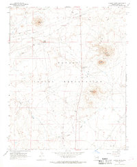
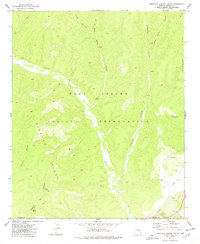
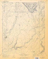
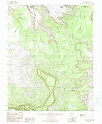
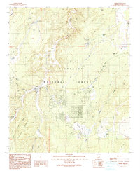
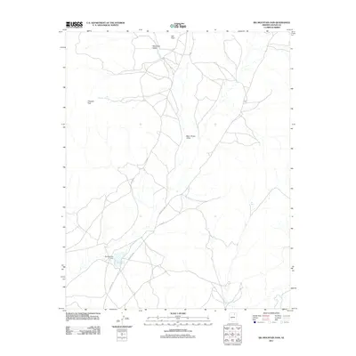
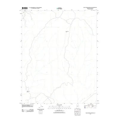
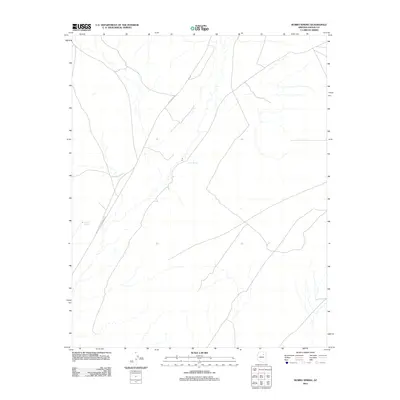
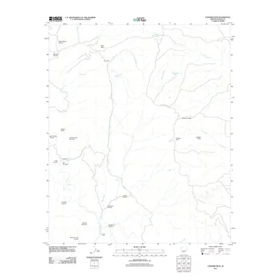
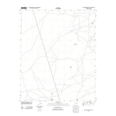
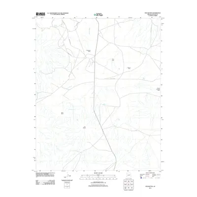
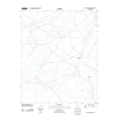
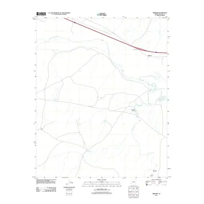
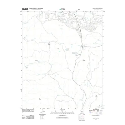
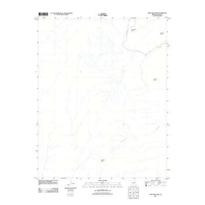
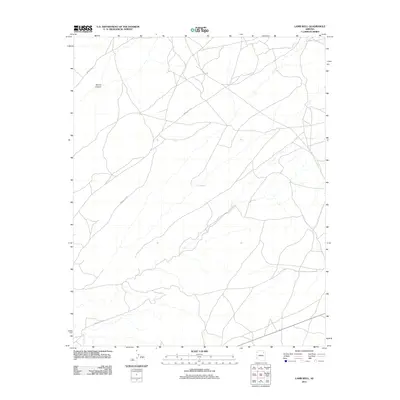
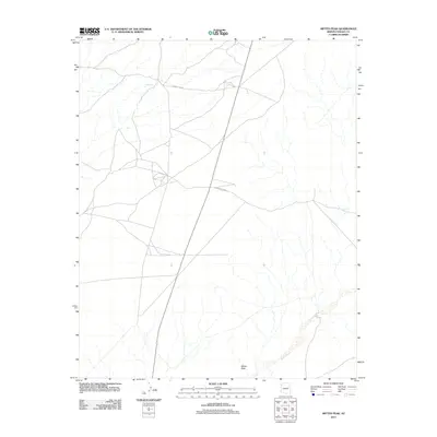
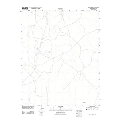
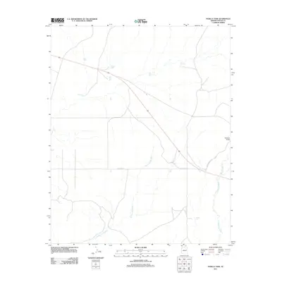
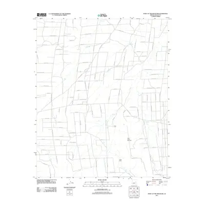
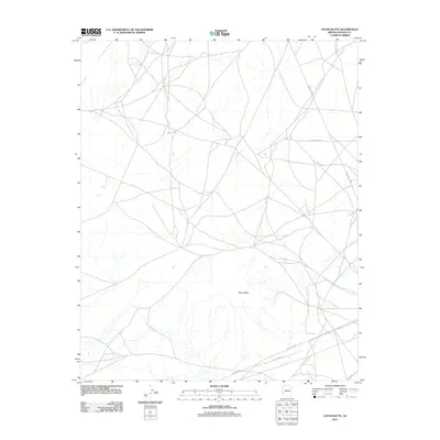
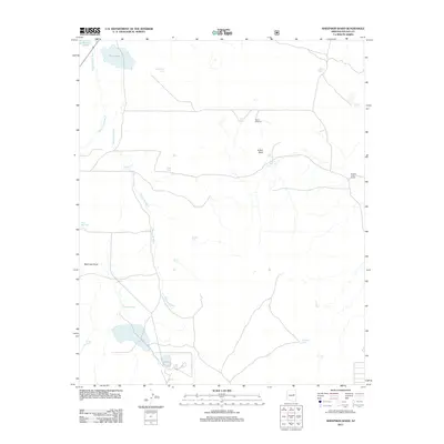
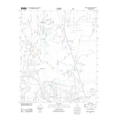
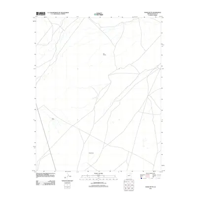
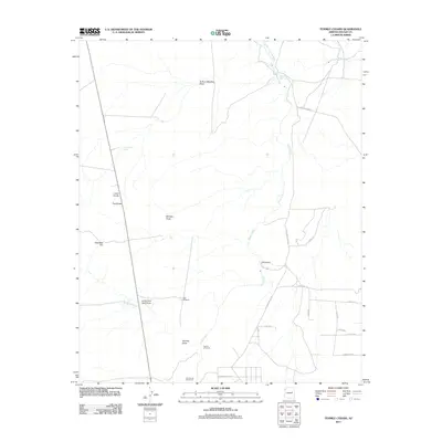
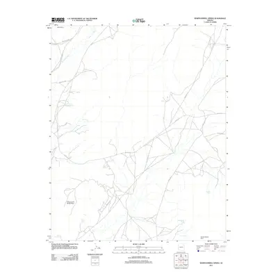
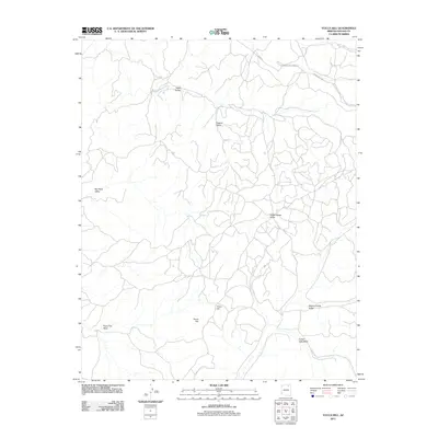
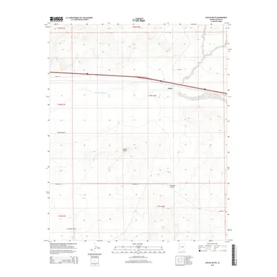
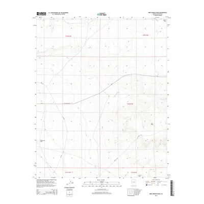
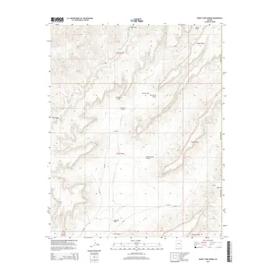
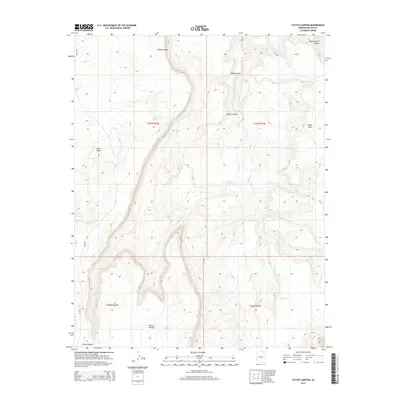
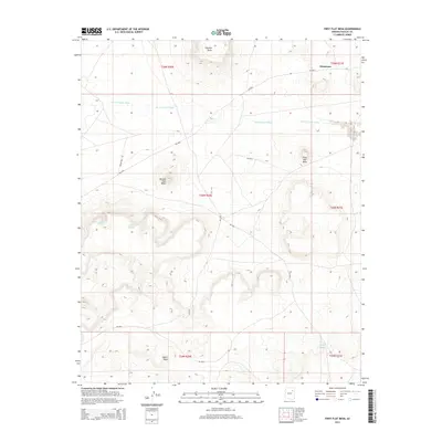
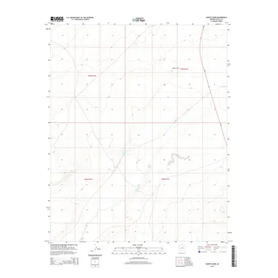
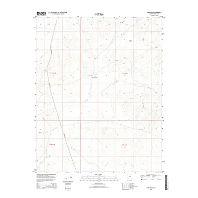
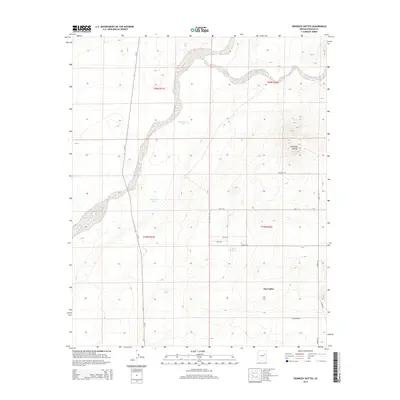
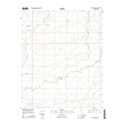
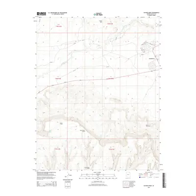
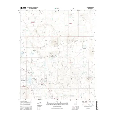
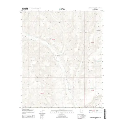
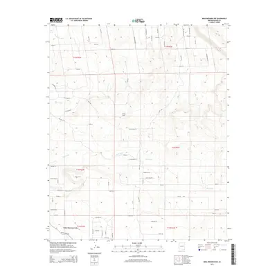
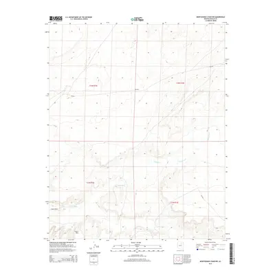
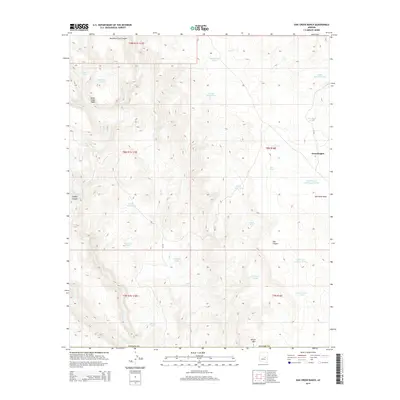
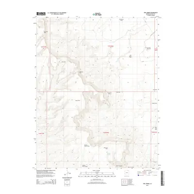
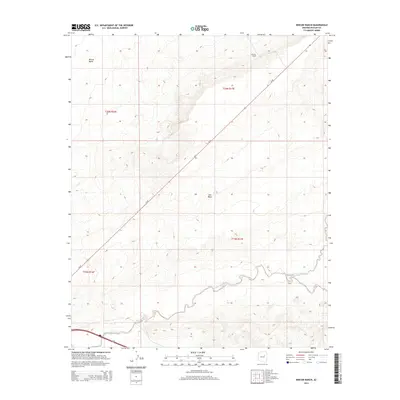
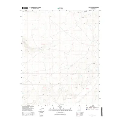
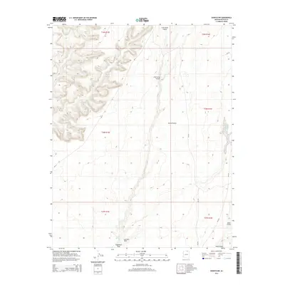
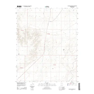
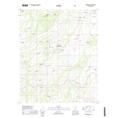
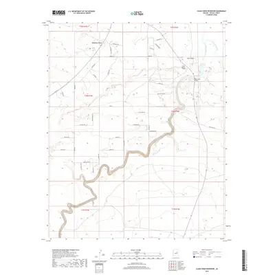
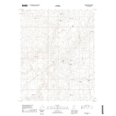
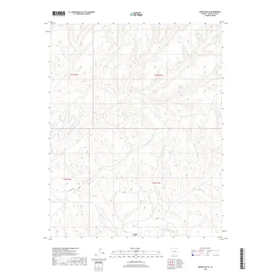
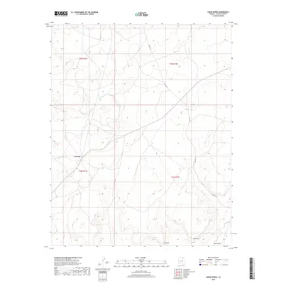
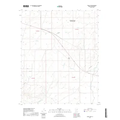
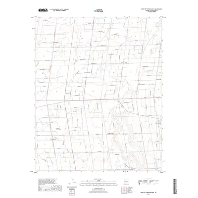
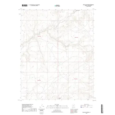
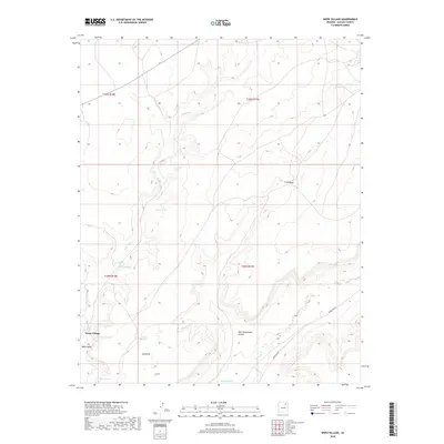
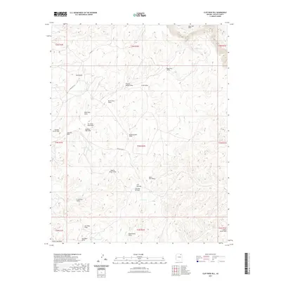
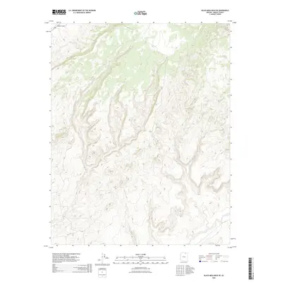
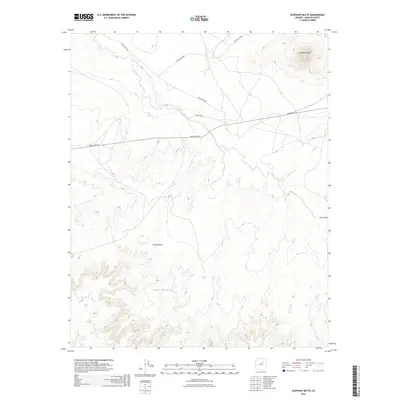
1977 Map of Indian Pine
USGS Topo · Published 1988About this map
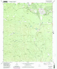
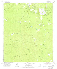
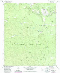
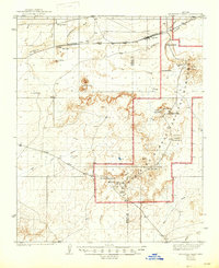
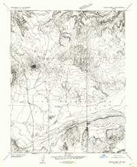
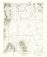
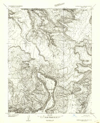
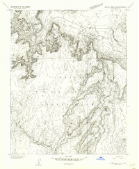
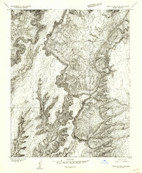
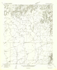
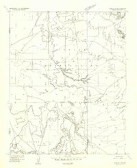
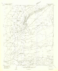
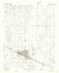
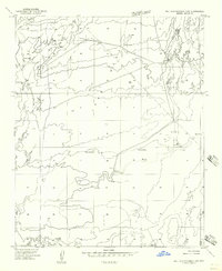
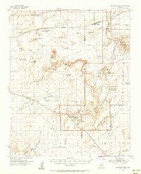
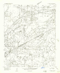
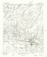
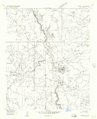
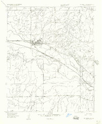
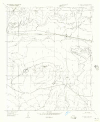
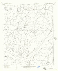
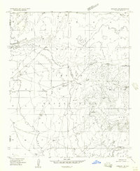
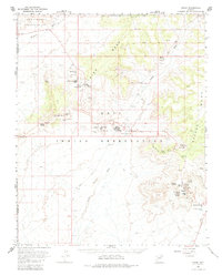
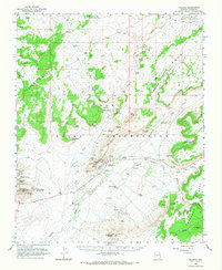
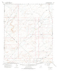
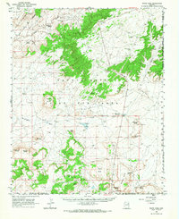
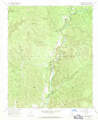
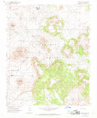
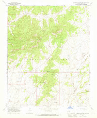
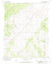
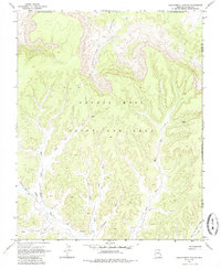
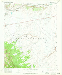
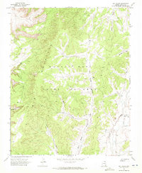
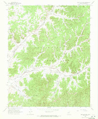
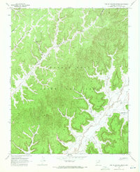
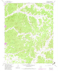
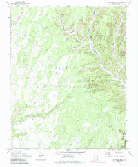
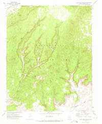
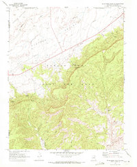
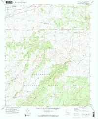
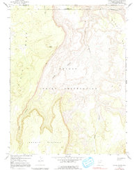
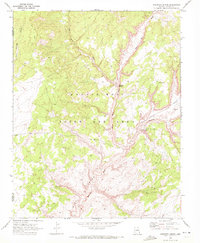
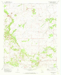
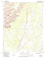
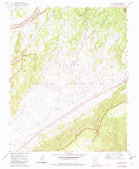
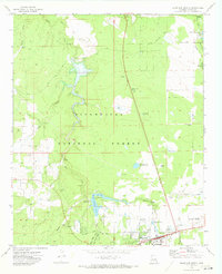
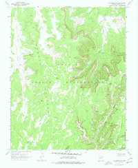
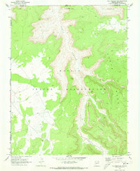
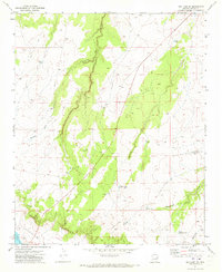
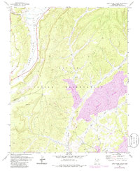
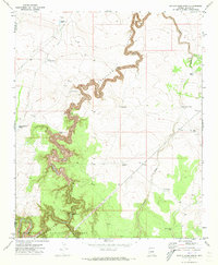
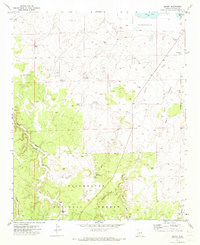
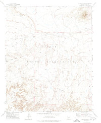
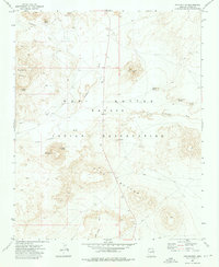
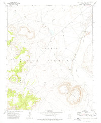
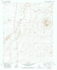
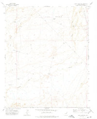
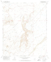
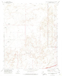
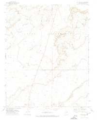
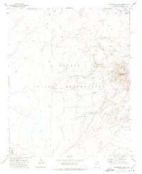
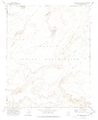
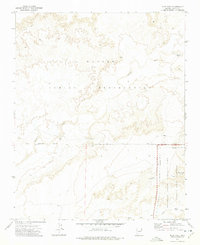
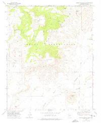
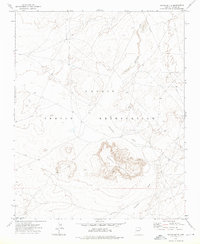
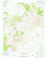
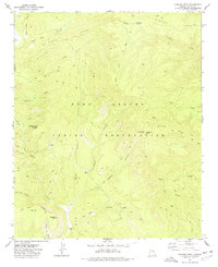
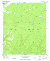
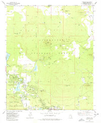
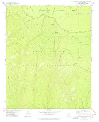
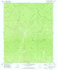
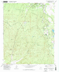
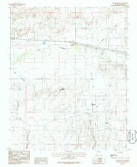
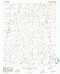
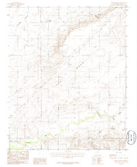
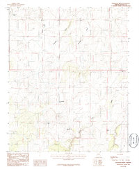
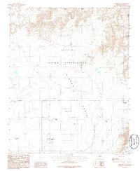
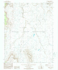
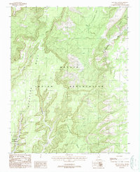
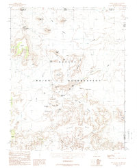
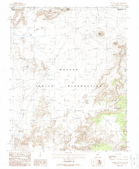
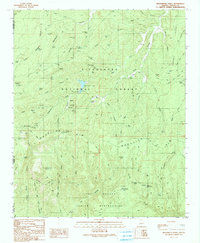
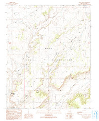
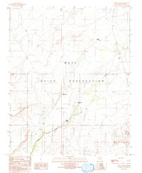
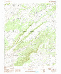
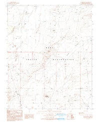
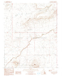
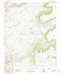
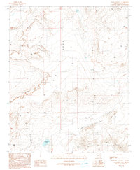
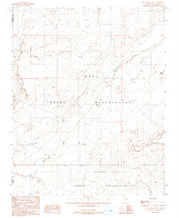
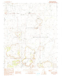
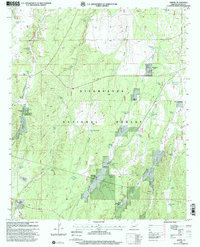
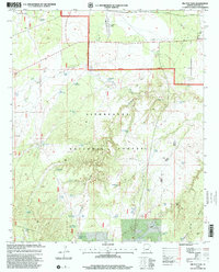
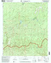
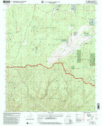
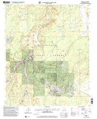
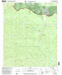
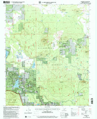
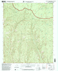
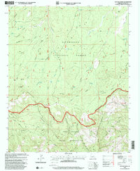
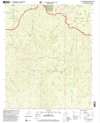
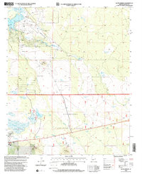
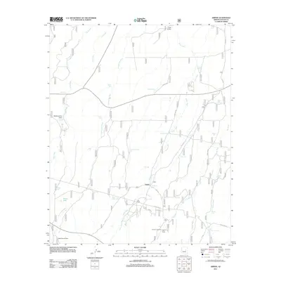
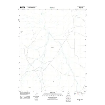
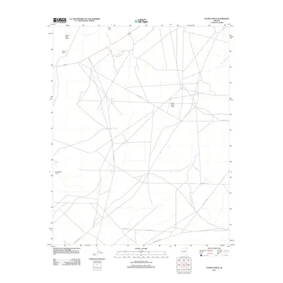
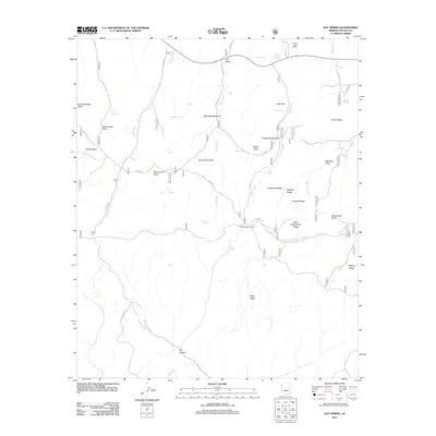
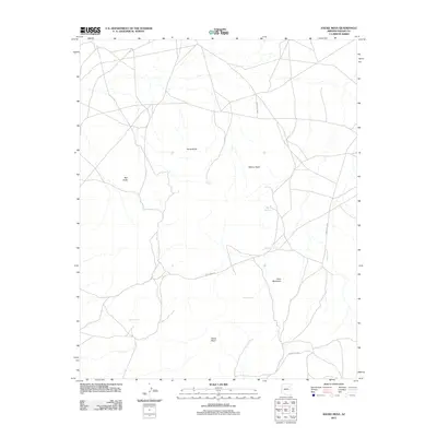
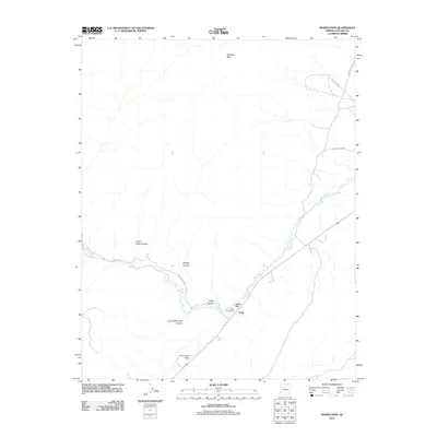
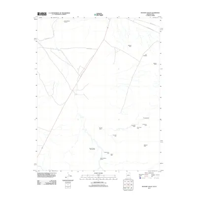
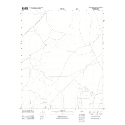
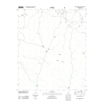
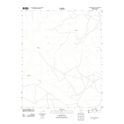
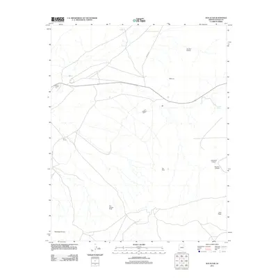
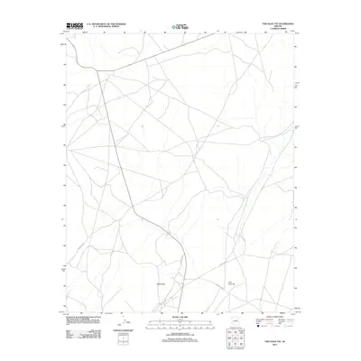
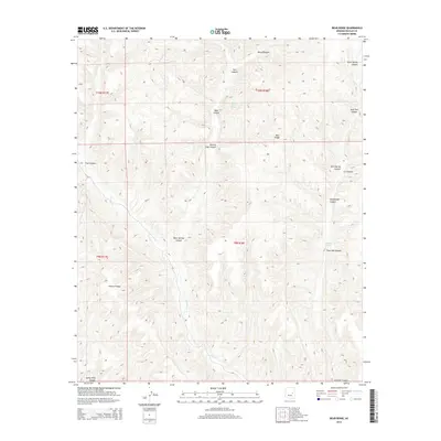
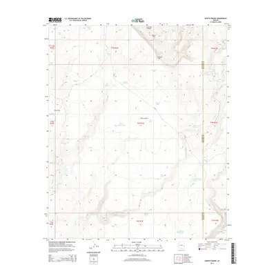
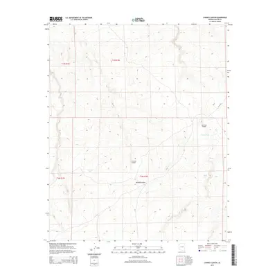
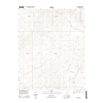
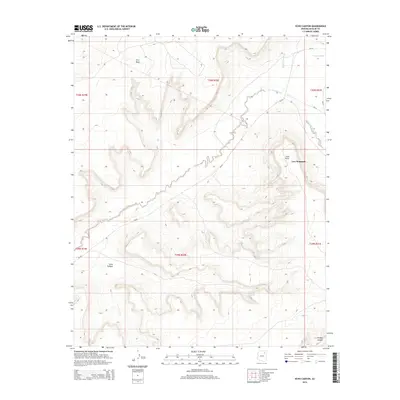
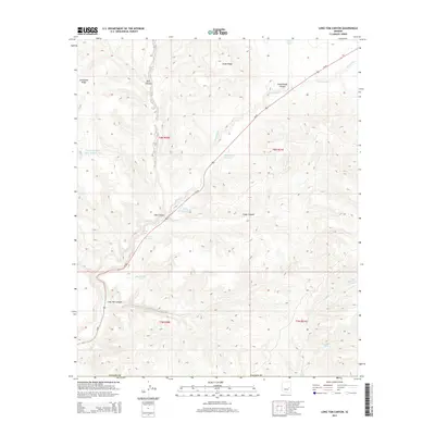
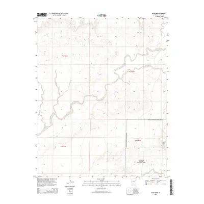
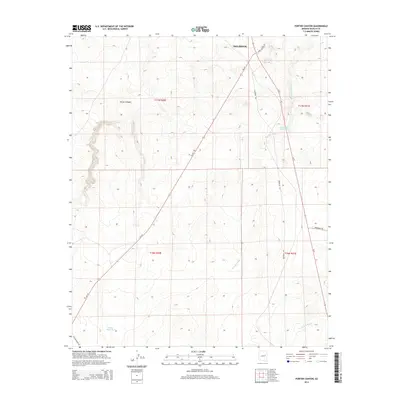
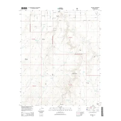
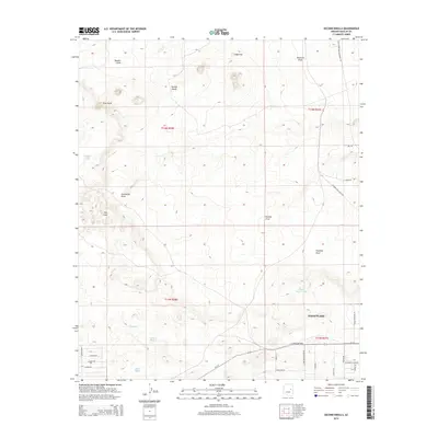
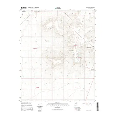
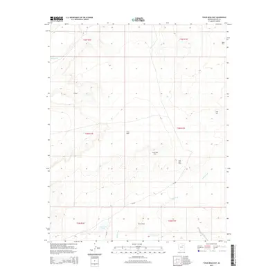
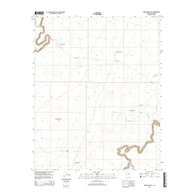
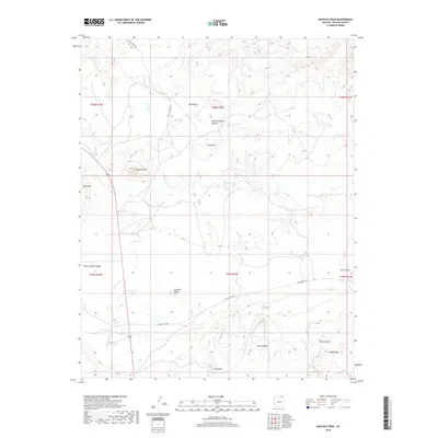
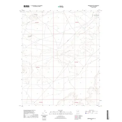
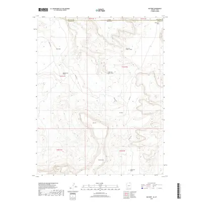
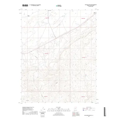
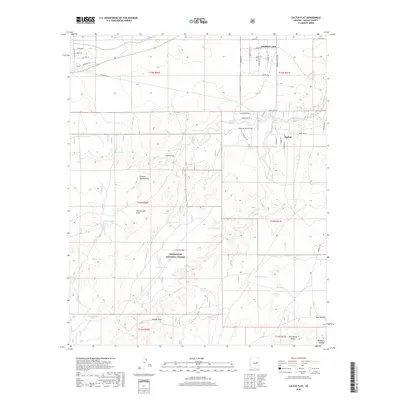
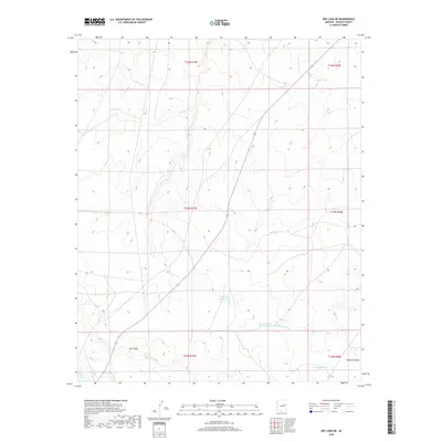
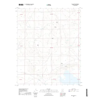
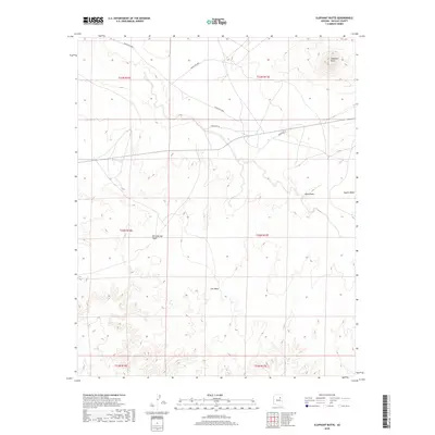
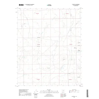
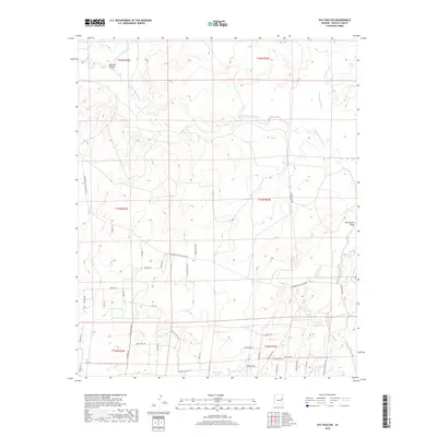
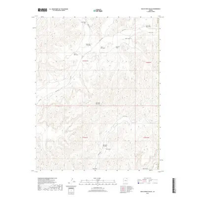
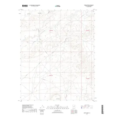
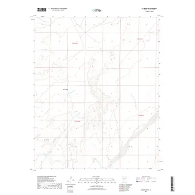
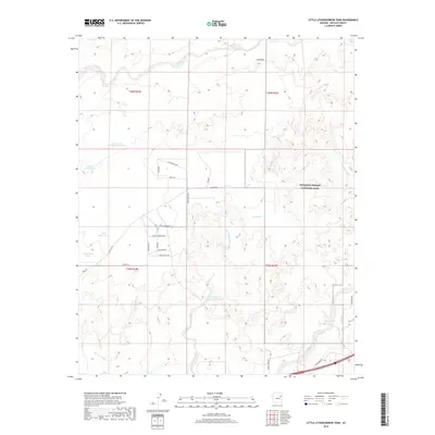
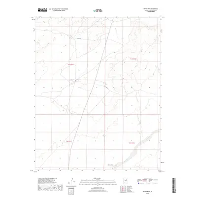
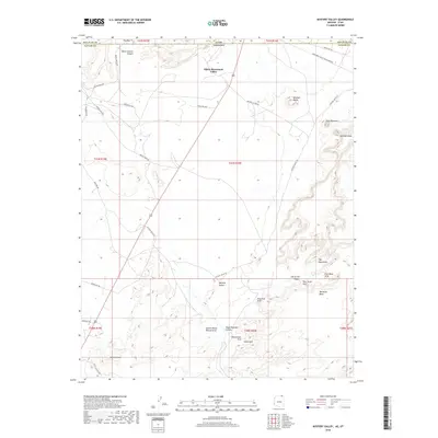
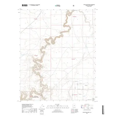
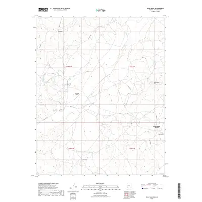
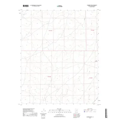
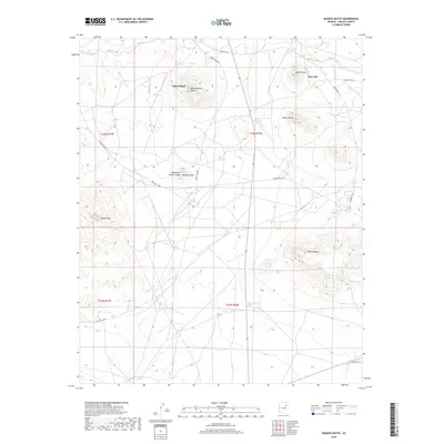
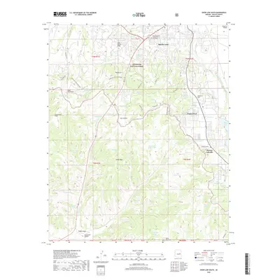
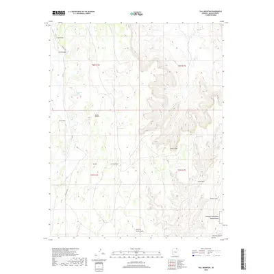
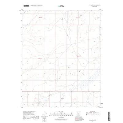
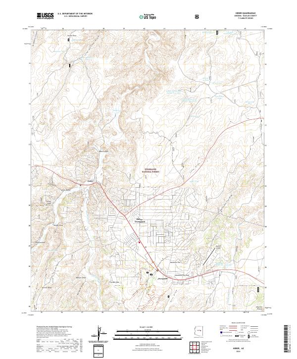
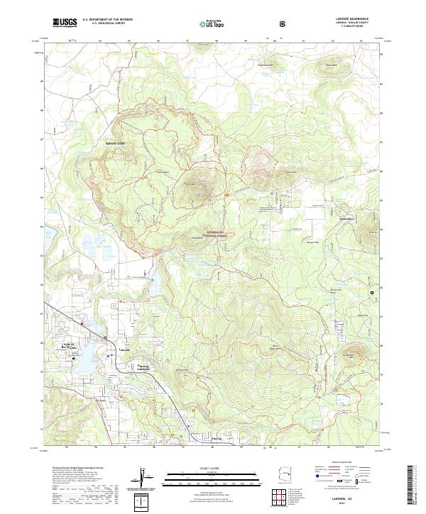
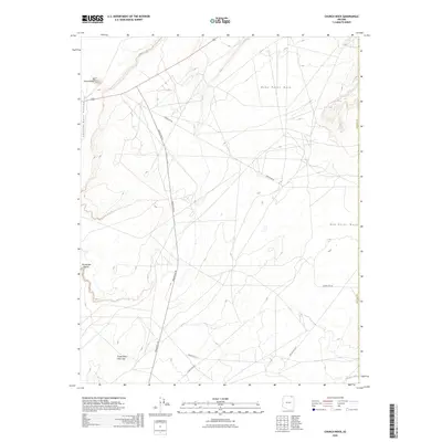
Pinetop and Indian Pine anchor the northern boundary of the Fort Apache Indian Reservation in this detailed 1970s record of Navajo County. The landscape is defined by its transition from the Sitgreaves National Forest down through a series of dramatic canyon systems, including Post Office Canyon, Cottonwood Canyon, and Black Canyon. This survey captures the region as residential development began to interface with traditional ranching lands, noting family-held properties like Cooley Ranch and Amos Ranch alongside newer recreation sites like the Pinetop Lakes Country Club. The map reveals a complex network of resource management through numerous livestock tanks such as Milk Ranch Tank and Snow Tank, while landmarks like the Penrod Cabin and several Cinder Pits indicate the area's pioneer history and geological utility. Higher elevations are marked by Pinetop Mtn and Deer Spring Mtn, overlooking the descent toward the White River.
Find a feature on this map
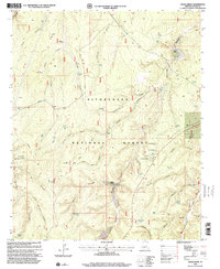
70 named features on this map. Tap any name to fly to it.
Don’t see what you’re looking for? This feature index may not catch every label — zoom into the map to look around manually.
Map Details
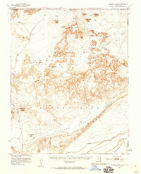
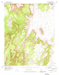
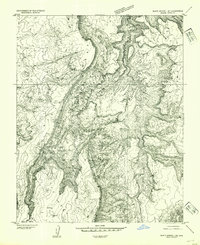
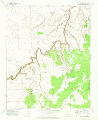
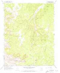
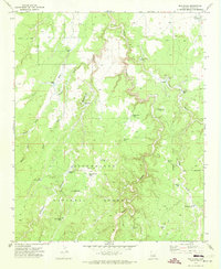
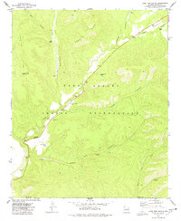
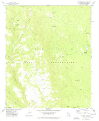
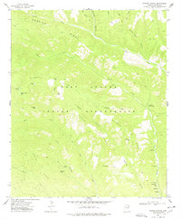
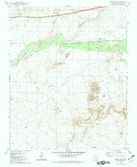
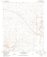
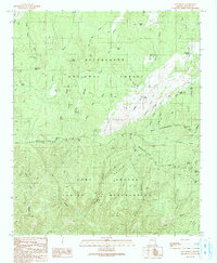
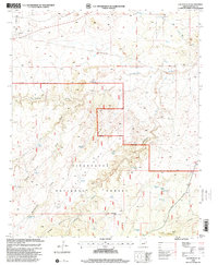
Editions of this 1977 Indian Pine Map
3 editions found
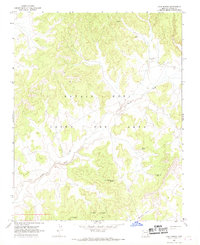
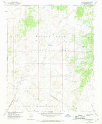
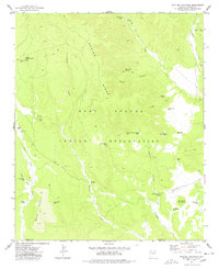
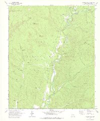
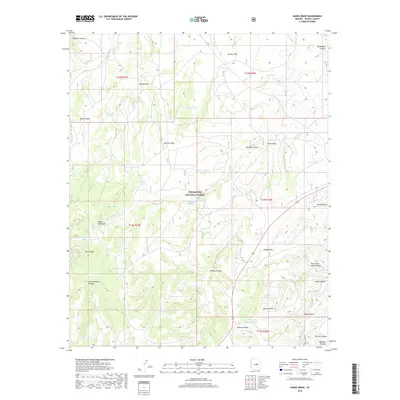
Historical Maps of Pinetop-Lakeside Through Time
791 maps found

1883 Marsh Pass
Navajo County, AZ
1892 Marsh Pass
Navajo County, AZ
1912 Petrified Forest
Navajo County, AZ
1952 Agathla Peak 1 NE
Navajo County, AZ
1952 Agathla Peak 1 NW
Navajo County, AZ
1952 Agathla Peak 1 SE
Navajo County, AZ
1952 Agathla Peak 1 SW
Navajo County, AZ
1952 Agathla Peak 2 NE
Navajo County, AZ
1952 Agathla Peak 2 NW
Navajo County, AZ
1952 Agathla Peak 2 SE
Navajo County, AZ
1952 Agathla Peak 2 SW
Navajo County, AZ
1952 Agathla Peak
Navajo County, AZ
1952 Boot Mesa
Navajo County, AZ
1952 Shato Spring 1 NE
Navajo County, AZ
1954 Winslow 4 NE
Navajo County, AZ
1954 Winslow 4 NW
Navajo County, AZ
1954 Winslow 4 SE
Navajo County, AZ
1954 Winslow 4 SW
Navajo County, AZ
1955 Mal Pais Springs 3 SW
Navajo County, AZ
1955 Petrified Forest
Navajo County, AZ
1955 St. Joseph 1 NE
Navajo County, AZ
1955 St. Joseph 1 NW
Navajo County, AZ
1955 St. Joseph 1 SE
Navajo County, AZ
1955 St. Joseph 2 NE
Navajo County, AZ
1955 St. Joseph 2 NW
Navajo County, AZ
1955 St. Joseph 2 SE
Navajo County, AZ
1957 Winslow 1 SW
Navajo County, AZ
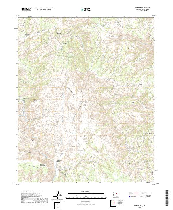
1961 Chediski Peak
Navajo County, AZ
1961 Heber
Navajo County, AZ
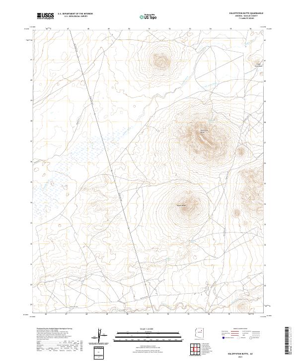
1966 Egloffstein Butte
Navajo County, AZ
1966 Oraibi
Navajo County, AZ
1966 Polacca
Navajo County, AZ
1966 Tovar Mesa
Navajo County, AZ
1966 White Cone
Navajo County, AZ
1967 Alchesay Flat
Navajo County, AZ
1967 Big Mountain Dam
Navajo County, AZ
1967 Bonito Prairie
Navajo County, AZ
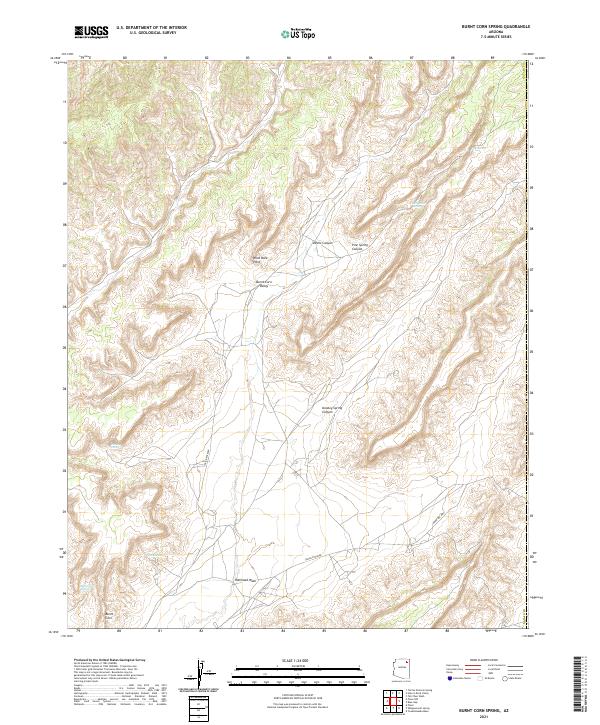
1967 Burnt Corn Spring
Navajo County, AZ
1967 Chimney Butte
Navajo County, AZ
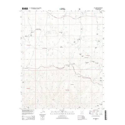
1967 Coat Spring
Navajo County, AZ
1967 French Butte
Navajo County, AZ
1967 Hard Rocks
Navajo County, AZ
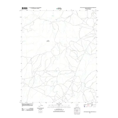
1967 Little Black Spot Mtn
Navajo County, AZ
1967 Pinon NW
Navajo County, AZ
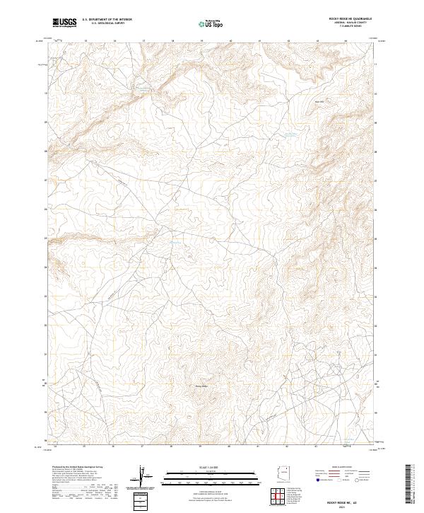
1967 Rocky Ridge NE
Navajo County, AZ
1967 Rocky Ridge NW
Navajo County, AZ
1967 Rocky Ridge Se
Navajo County, AZ
1967 Rocky Ridge SW
Navajo County, AZ
1967 Shonto Butte
Navajo County, AZ
1967 Whippoorwill Spring
Navajo County, AZ
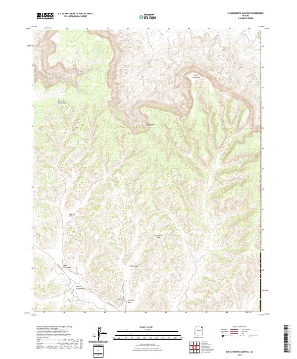
1968 Chilchinbito Canyon
Navajo County, AZ
1968 Church Rock
Navajo County, AZ
1968 Cliff Rose Hill
Navajo County, AZ
1968 Hole In Rock Valley
Navajo County, AZ
1968 Kayenta East
Navajo County, AZ
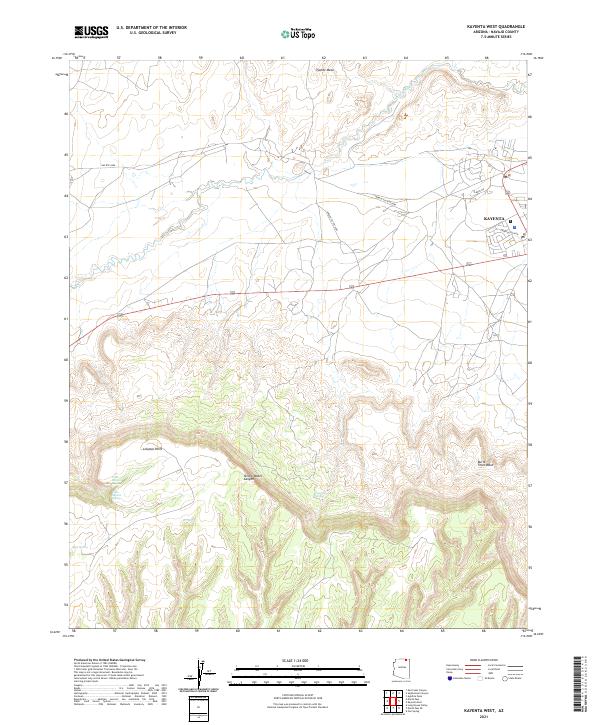
1968 Kayenta West
Navajo County, AZ
1968 Marsh Pass
Navajo County, AZ
1968 Marsh Pass SE
Navajo County, AZ

1968 Owl Spring
Navajo County, AZ
1968 Owl Valley
Navajo County, AZ
1968 Red Slide Peak
Navajo County, AZ
1968 Toh Ne Zhonnie Spring
Navajo County, AZ
1968 Yucca Hill
Navajo County, AZ
1970 Betatakin Ruin
Navajo County, AZ
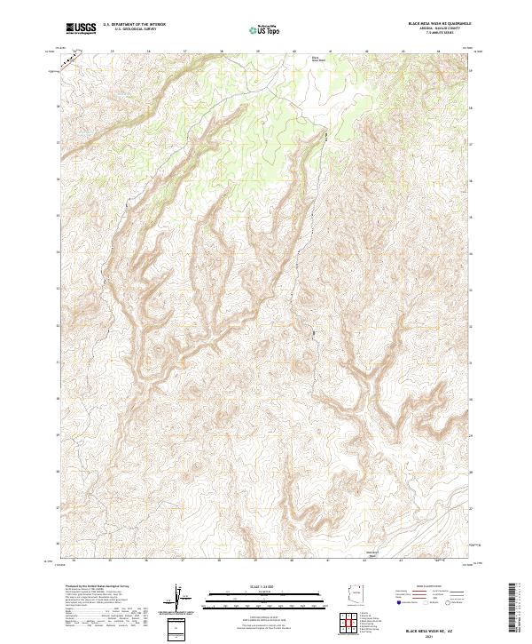
1970 Black Mesa Wash NE
Navajo County, AZ
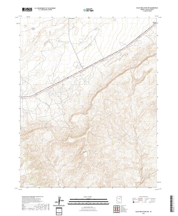
1970 Black Mesa Wash NW
Navajo County, AZ
1970 Cactus Flat
Navajo County, AZ
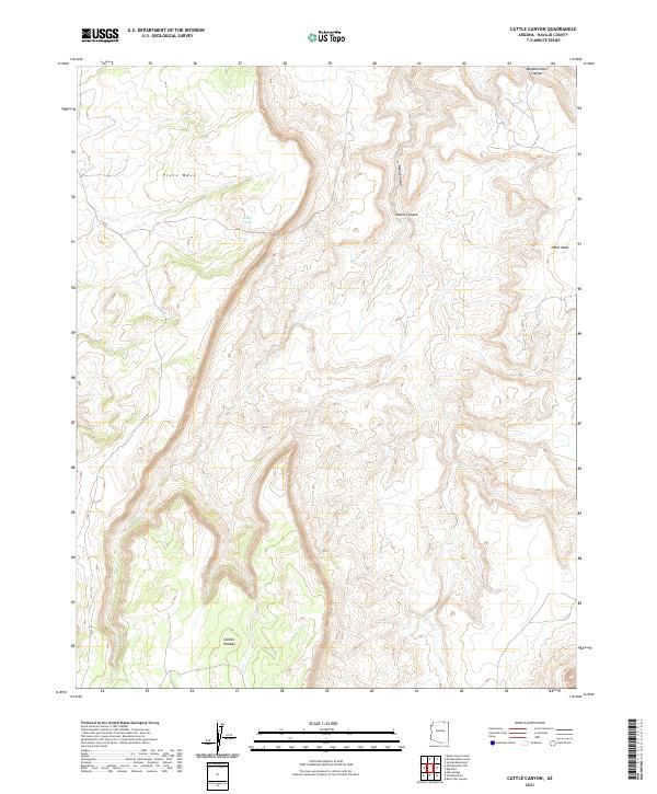
1970 Cattle Canyon
Navajo County, AZ
1970 Clear Creek Reservoir
Navajo County, AZ
1970 Flattop Hill
Navajo County, AZ
1970 Hibbard
Navajo County, AZ
1970 Kydestea Spring
Navajo County, AZ
1970 McCauley Sinks
Navajo County, AZ
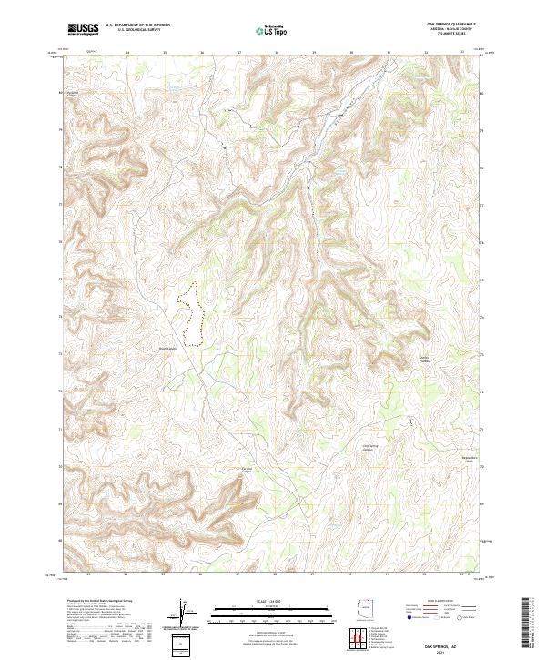
1970 Oak Springs
Navajo County, AZ
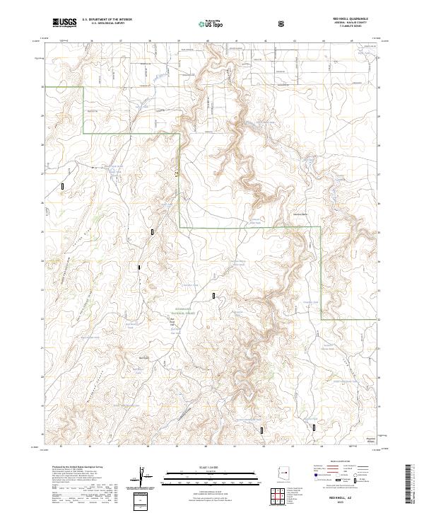
1970 Red Knoll
Navajo County, AZ

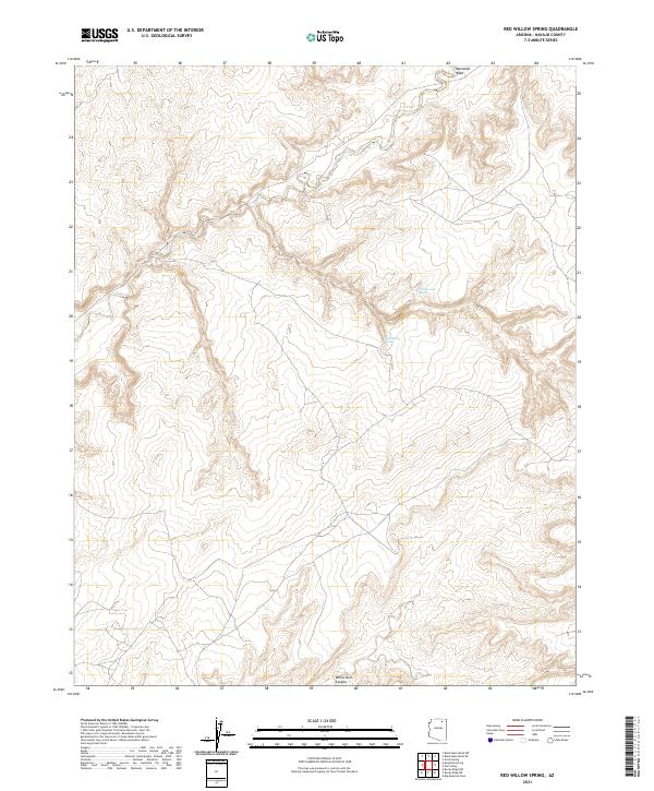
1970 Red Willow Spring
Navajo County, AZ
1970 Second Knolls
Navajo County, AZ
1970 Shonto NW
Navajo County, AZ
1970 Shonto SE
Navajo County, AZ
1970 Show Low North
Navajo County, AZ
1970 Tall Mountain
Navajo County, AZ
1970 Tall Mountain NW
Navajo County, AZ
1970 Tenmile Cedars
Navajo County, AZ
1970 Twentymile Hill
Navajo County, AZ
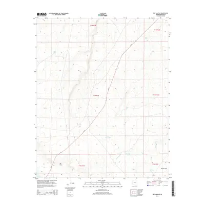
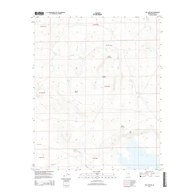
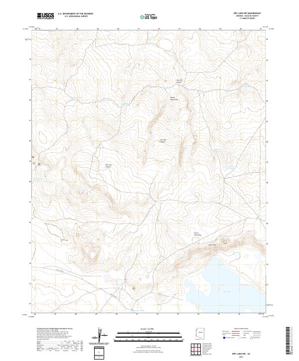
1971 Dry Lake NE
Navajo County, AZ
1971 Dry Lake NW
Navajo County, AZ
1971 Great Spring
Navajo County, AZ
1971 Hay Hollow
Navajo County, AZ
1971 Long House Valley
Navajo County, AZ
1971 Mesa Redonda NW
Navajo County, AZ
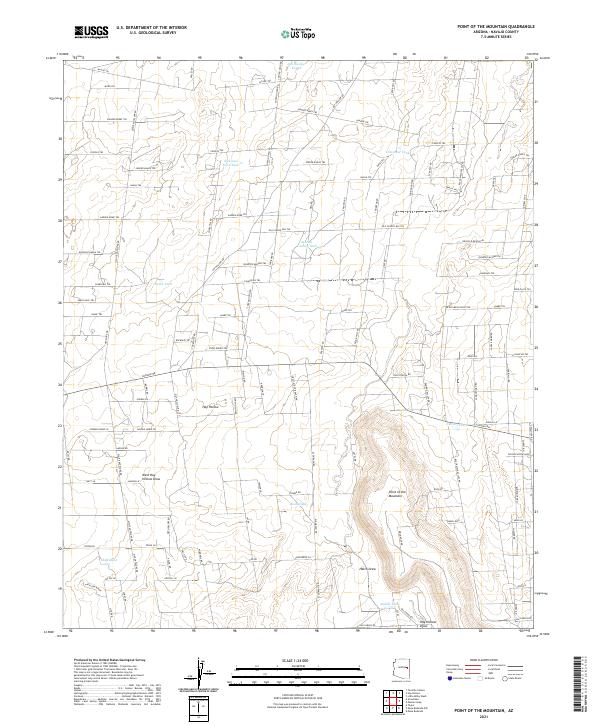
1971 Point of the Mtn
Navajo County, AZ
1971 Potato Wash NE
Navajo County, AZ
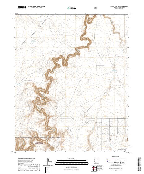
1971 Potato Wash North
Navajo County, AZ
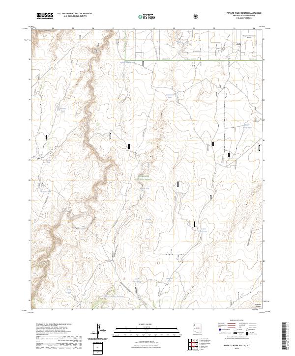
1971 Potato Wash South
Navajo County, AZ
1971 Sheepskin Wash
Navajo County, AZ
1971 Silver Springs
Navajo County, AZ
1971 Zeniff
Navajo County, AZ
1972 Arrowhead Butte
Navajo County, AZ
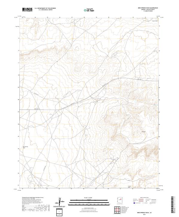
1972 Bird Springs Wash
Navajo County, AZ
1972 Blairs Spring
Navajo County, AZ
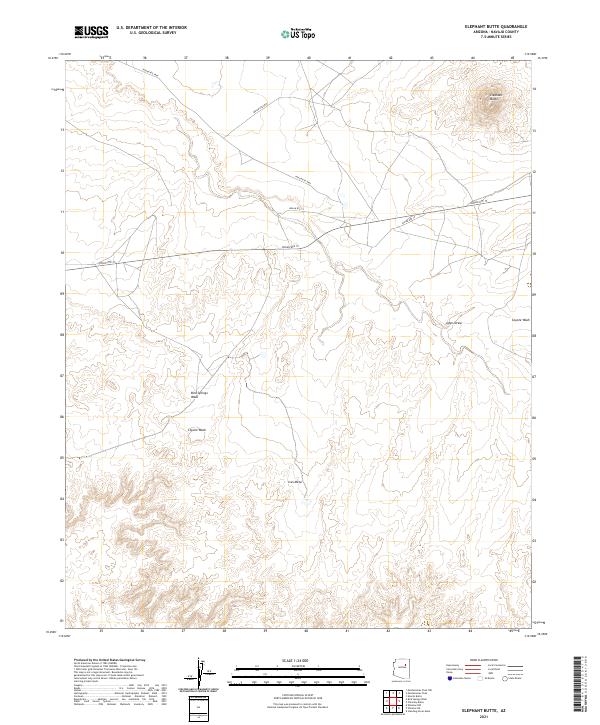
1972 Elephant Butte
Navajo County, AZ
1972 Five Buttes
Navajo County, AZ
1972 Greasewood Spring
Navajo County, AZ
1972 Hennessy Buttes
Navajo County, AZ
1972 Humpy Camp Well
Navajo County, AZ
1972 Lee Mountain
Navajo County, AZ
1972 Little Lithodendron Tank
Navajo County, AZ
1972 Mitten Peak
Navajo County, AZ
1972 Montezumas Chair
Navajo County, AZ
1972 Montezumas Chair NW
Navajo County, AZ
1972 Pilot Rock
Navajo County, AZ
1972 Rotten Bananas Butte
Navajo County, AZ
1972 Satan Butte
Navajo County, AZ
1972 Standing Horse Mesa
Navajo County, AZ
1972 Turkey Track Butte
Navajo County, AZ
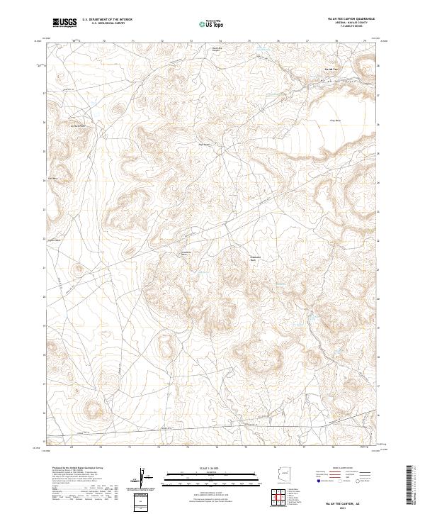
1973 Na Ah Tee Canyon
Navajo County, AZ
1973 Sunflower Butte
Navajo County, AZ
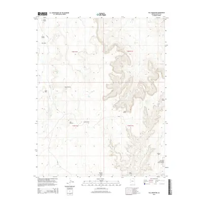
1976 Indian Pine
Navajo County, AZ
1976 Lakeside
Navajo County, AZ
1977 Bear Ridge
Navajo County, AZ
1977 Chediski Peak
Navajo County, AZ
1977 Faught Ridge
Navajo County, AZ
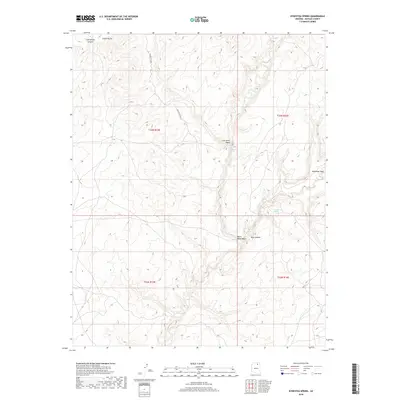
1977 Indian Pine
Navajo County, AZ
1977 Lakeside
Navajo County, AZ
1977 Limestone Canyon North
Navajo County, AZ
1977 Limestone Canyon South
Navajo County, AZ
1977 Long Tom Canyon
Navajo County, AZ
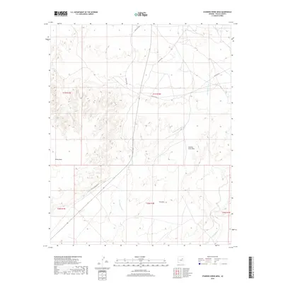
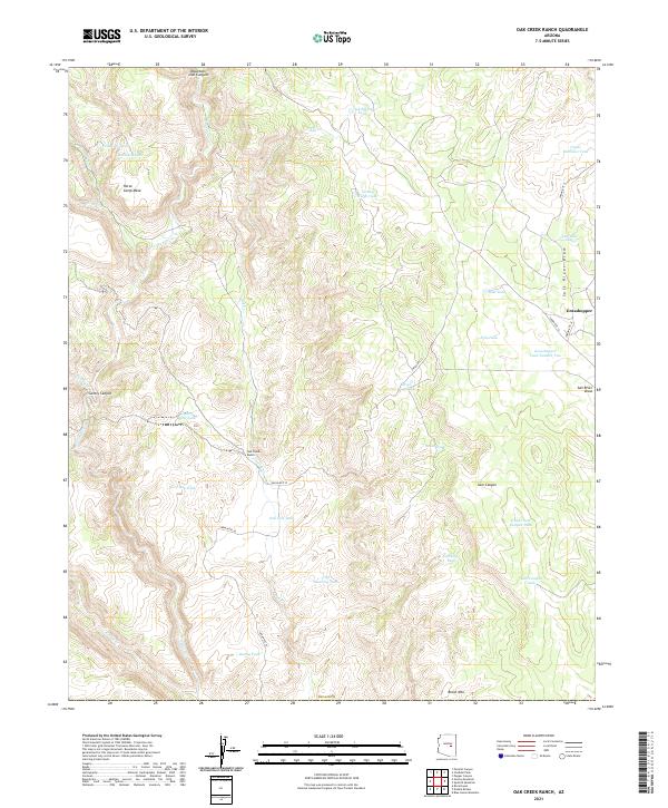
1977 Oak Creek Ranch
Navajo County, AZ
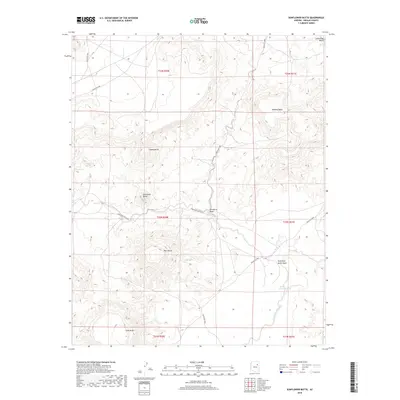
1977 Pepper Canyon
Navajo County, AZ
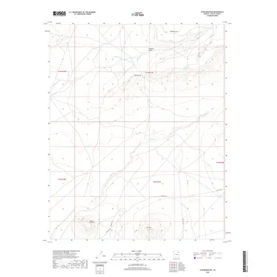
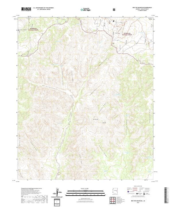
1977 Red Top Mtn.
Navajo County, AZ
1977 Show Low South
Navajo County, AZ
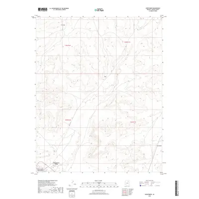
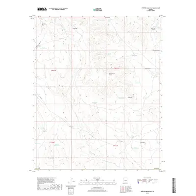
1977 Spotted Mountain
Navajo County, AZ
1978 Alchesay Flat
Navajo County, AZ
1978 Bonito Prairie
Navajo County, AZ
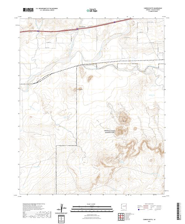
1982 Carrizo Butte
Navajo County, AZ
1982 Padilla Tank
Navajo County, AZ
1982 Polacca
Navajo County, AZ
1986 Apache Butte
Navajo County, AZ

1986 Chimney Canyon
Navajo County, AZ
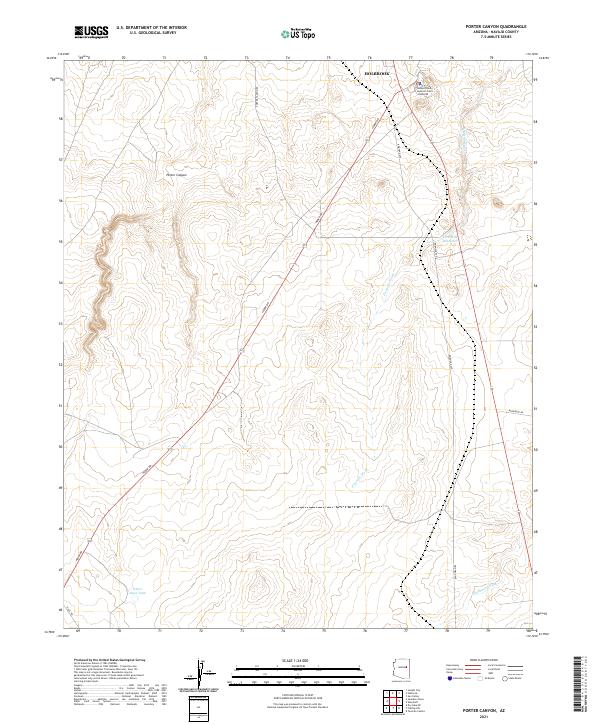
1986 Porter Canyon
Navajo County, AZ
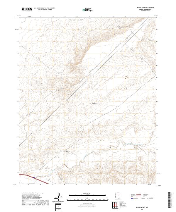
1986 Rincon Ranch
Navajo County, AZ
1986 Saunders Draw
Navajo County, AZ
1986 Winslow NE
Navajo County, AZ
1986 Winslow NW
Navajo County, AZ
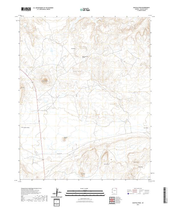
1988 Agathla Peak
Navajo County, AZ
1988 Baby Rocks
Navajo County, AZ
1988 Big Point
Navajo County, AZ
1988 Boot Mesa
Navajo County, AZ
1988 Keet Seel Ruin
Navajo County, AZ
1988 Mitten Buttes
Navajo County, AZ
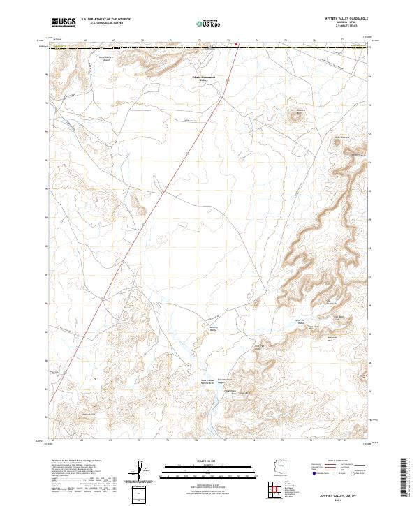
1988 Mystery Valley
Navajo County, AZ
1988 Tseyi-Hatsosi
Navajo County, AZ
1990 Aripine
Navajo County, AZ
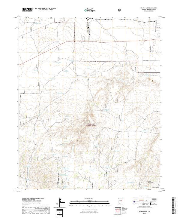
1990 Big Pug Tank
Navajo County, AZ
1990 Brookbank Point
Navajo County, AZ
1990 Day Spring
Navajo County, AZ
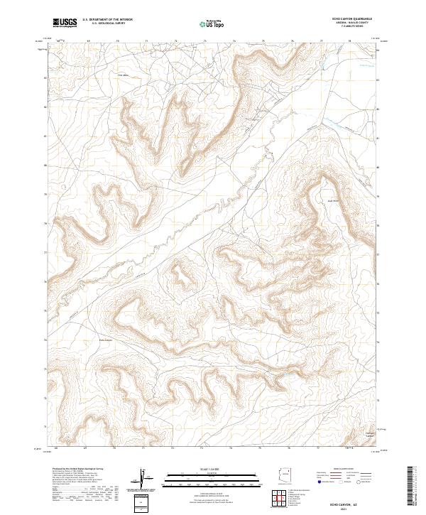
1990 Echo Canyon
Navajo County, AZ
1990 Hanks Draw
Navajo County, AZ
1990 Heber
Navajo County, AZ
1990 Onion Spring
Navajo County, AZ
1990 Outlaw Draw
Navajo County, AZ
1990 Tsin Naan Tee
Navajo County, AZ
1990 Wepo Village
Navajo County, AZ
1991 Burro Spring
Navajo County, AZ
1991 Egloffstein Butte
Navajo County, AZ
1991 First Flat Mesa
Navajo County, AZ
1991 Giants Chair
Navajo County, AZ
1991 Hauke Mesa
Navajo County, AZ

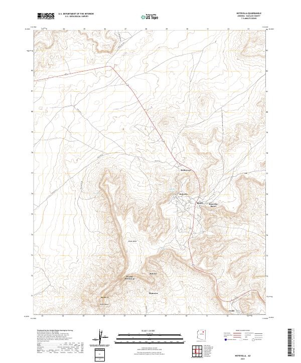
1991 Hotevilla
Navajo County, AZ
1991 Jeddito Spring
Navajo County, AZ
1991 Kykotsmovi
Navajo County, AZ
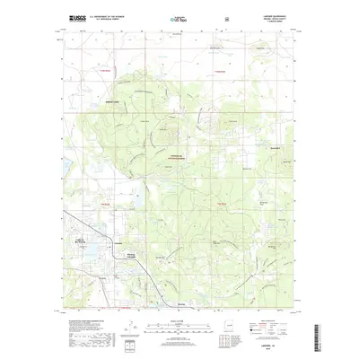
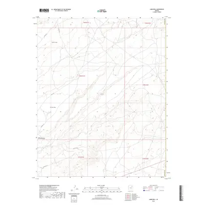
1991 Lamb Well
Navajo County, AZ
1991 Mowa'api
Navajo County, AZ
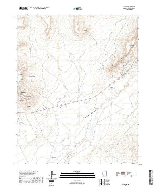
1991 Polacca
Navajo County, AZ
1991 Shungopavi
Navajo County, AZ
1991 Snake Butte
Navajo County, AZ
1991 Star Mountain
Navajo County, AZ
1991 Sun Altar
Navajo County, AZ
1991 Tovar Mesa East
Navajo County, AZ
1991 Tovar Mesa West
Navajo County, AZ
1991 White Cone
Navajo County, AZ
1998 Aripine
Navajo County, AZ
1998 Big Pug Tank
Navajo County, AZ
1998 Brookbank Point
Navajo County, AZ
1998 Cactus Flat
Navajo County, AZ
1998 Day Spring
Navajo County, AZ
1998 Hanks Draw
Navajo County, AZ
1998 Heber
Navajo County, AZ
1998 Indian Pine
Navajo County, AZ
1998 Lakeside
Navajo County, AZ
1998 Limestone Canyon North
Navajo County, AZ
1998 Outlaw Draw
Navajo County, AZ
1998 Potato Wash North
Navajo County, AZ
1998 Potato Wash South
Navajo County, AZ
1998 Red Knoll
Navajo County, AZ
1998 Red Top Mountain
Navajo County, AZ
1998 Sheepskin Wash
Navajo County, AZ
1998 Show Low North
Navajo County, AZ
1998 Show Low South
Navajo County, AZ
1998 Silver Springs
Navajo County, AZ
1998 Zeniff
Navajo County, AZ
2011 Agathla Peak
Navajo County, AZ

2011 Alchesay Flat
Navajo County, AZ
2011 Apache Butte
Navajo County, AZ
2011 Aripine
Navajo County, AZ
2011 Arrowhead Butte
Navajo County, AZ
2011 Baby Rocks
Navajo County, AZ
2011 Bear Ridge
Navajo County, AZ
2011 Big Mountain Dam
Navajo County, AZ
2011 Big Point
Navajo County, AZ
2011 Big Pug Tank
Navajo County, AZ
2011 Bird Springs Wash
Navajo County, AZ
2011 Black Mesa Wash NE
Navajo County, AZ
2011 Black Mesa Wash NW
Navajo County, AZ
2011 Blairs Spring
Navajo County, AZ
2011 Bonito Prairie
Navajo County, AZ
2011 Boot Mesa
Navajo County, AZ
2011 Brookbank Point
Navajo County, AZ
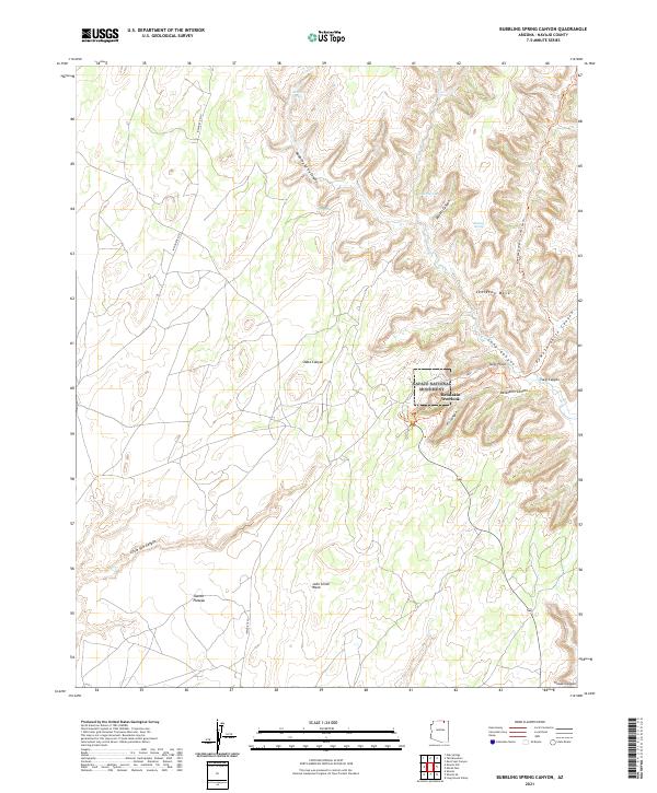
2011 Bubbling Spring Canyon
Navajo County, AZ
2011 Burnt Corn Spring
Navajo County, AZ
2011 Burro Spring
Navajo County, AZ
2011 Cactus Flat
Navajo County, AZ
2011 Carrizo Butte
Navajo County, AZ
2011 Cattle Canyon
Navajo County, AZ
2011 Chediski Peak
Navajo County, AZ
2011 Chilchinbito Canyon
Navajo County, AZ
2011 Chimney Butte
Navajo County, AZ
2011 Chimney Canyon
Navajo County, AZ
2011 Church Rock
Navajo County, AZ
2011 Clear Creek Reservoir
Navajo County, AZ
2011 Cliff Rose Hill
Navajo County, AZ
2011 Coat Spring
Navajo County, AZ
2011 Day Spring
Navajo County, AZ
2011 Dry Lake NE
Navajo County, AZ
2011 Dry Lake NW
Navajo County, AZ
2011 Echo Canyon
Navajo County, AZ
2011 Egloffstein Butte
Navajo County, AZ
2011 Elephant Butte
Navajo County, AZ
2011 Faught Ridge
Navajo County, AZ
2011 First Flat Mesa
Navajo County, AZ
2011 Five Buttes
Navajo County, AZ
2011 Flattop Hill
Navajo County, AZ
2011 French Butte
Navajo County, AZ
2011 Giants Chair
Navajo County, AZ
2011 Greasewood Spring
Navajo County, AZ
2011 Great Spring
Navajo County, AZ
2011 Hanks Draw
Navajo County, AZ
2011 Hard Rocks
Navajo County, AZ
2011 Hauke Mesa
Navajo County, AZ
2011 Hay Hollow
Navajo County, AZ
2011 Heber
Navajo County, AZ
2011 Hennessy Buttes
Navajo County, AZ
2011 Hibbard
Navajo County, AZ
2011 Hole In Rock Valley
Navajo County, AZ
2011 Hotevilla
Navajo County, AZ
2011 Humpy Camp Well
Navajo County, AZ
2011 Indian Pine
Navajo County, AZ
2011 Jeddito Spring
Navajo County, AZ
2011 Kayenta East
Navajo County, AZ
2011 Kayenta West
Navajo County, AZ
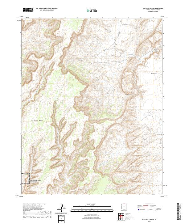
2011 Keet Seel Canyon
Navajo County, AZ
2011 Kydestea Spring
Navajo County, AZ
2011 Kykotsmovi
Navajo County, AZ
2011 Lakeside
Navajo County, AZ
2011 Lamb Well
Navajo County, AZ
2011 Lee Mountain
Navajo County, AZ
2011 Limestone Canyon North
Navajo County, AZ
2011 Limestone Canyon South
Navajo County, AZ
2011 Little Black Spot Mountain
Navajo County, AZ
2011 Little Lithodendron Tank
Navajo County, AZ
2011 Long House Valley
Navajo County, AZ
2011 Long Tom Canyon
Navajo County, AZ
2011 Marsh Pass
Navajo County, AZ

2011 Marsh Pass SE
Navajo County, AZ
2011 McCauley Sinks
Navajo County, AZ
2011 Mesa Redonda NW
Navajo County, AZ
2011 Mitten Buttes
Navajo County, AZ
2011 Mitten Peak
Navajo County, AZ
2011 Montezumas Chair
Navajo County, AZ
2011 Montezumas Chair NW
Navajo County, AZ
2011 Mowaapi
Navajo County, AZ
2011 Mystery Valley
Navajo County, AZ
2011 Na Ah Tee Canyon
Navajo County, AZ
2011 Oak Creek Ranch
Navajo County, AZ
2011 Oak Springs
Navajo County, AZ
2011 Onion Spring
Navajo County, AZ
2011 Outlaw Draw
Navajo County, AZ
2011 Owl Spring
Navajo County, AZ
2011 Owl Valley
Navajo County, AZ
2011 Padilla Tank
Navajo County, AZ
2011 Pepper Canyon
Navajo County, AZ
2011 Pilot Rock
Navajo County, AZ
2011 Pinon NW
Navajo County, AZ
2011 Point of the Mountain
Navajo County, AZ
2011 Polacca
Navajo County, AZ
2011 Porter Canyon
Navajo County, AZ
2011 Potato Wash NE
Navajo County, AZ
2011 Potato Wash North
Navajo County, AZ
2011 Potato Wash South
Navajo County, AZ
2011 Red Knoll
Navajo County, AZ
2011 Red Slide Peak
Navajo County, AZ
2011 Red Top Mountain
Navajo County, AZ
2011 Red Willow Spring
Navajo County, AZ
2011 Rincon Ranch
Navajo County, AZ
2011 Rocky Ridge NE
Navajo County, AZ
2011 Rocky Ridge NW
Navajo County, AZ
2011 Rocky Ridge SE
Navajo County, AZ
2011 Rocky Ridge SW
Navajo County, AZ
2011 Rotten Bananas Butte
Navajo County, AZ
2011 Satan Butte
Navajo County, AZ
2011 Saunders Draw
Navajo County, AZ
2011 Second Knolls
Navajo County, AZ
2011 Segihatsosi Canyon
Navajo County, AZ
2011 Sheepskin Wash
Navajo County, AZ
2011 Shonto Butte
Navajo County, AZ
2011 Shonto NW
Navajo County, AZ
2011 Shonto SE
Navajo County, AZ
2011 Show Low North
Navajo County, AZ
2011 Show Low South
Navajo County, AZ
2011 Shungopavi
Navajo County, AZ
2011 Silver Springs
Navajo County, AZ
2011 Snake Butte
Navajo County, AZ
2011 Spotted Mountain
Navajo County, AZ
2011 Standing Horse Mesa
Navajo County, AZ
2011 Star Mountain
Navajo County, AZ
2011 Sun Altar
Navajo County, AZ
2011 Sunflower Butte
Navajo County, AZ
2011 Tall Mountain
Navajo County, AZ
2011 Tall Mountain NW
Navajo County, AZ
2011 Tenmile Cedars
Navajo County, AZ
2011 Toh Ne Zhonnie Spring
Navajo County, AZ
2011 Tovar Mesa East
Navajo County, AZ
2011 Tovar Mesa West
Navajo County, AZ
2011 Tsin Naan Tee
Navajo County, AZ
2011 Turkey Track Butte
Navajo County, AZ
2011 Twentymile Hill
Navajo County, AZ
2011 Wepo Village
Navajo County, AZ
2011 Whippoorwill Spring
Navajo County, AZ
2011 White Cone
Navajo County, AZ
2011 Winslow NE
Navajo County, AZ
2011 Winslow NW
Navajo County, AZ
2011 Yucca Hill
Navajo County, AZ
2011 Zeniff
Navajo County, AZ
2014 Agathla Peak
Navajo County, AZ
2014 Alchesay Flat
Navajo County, AZ
2014 Apache Butte
Navajo County, AZ
2014 Aripine
Navajo County, AZ
2014 Arrowhead Butte
Navajo County, AZ
2014 Baby Rocks
Navajo County, AZ
2014 Bear Ridge
Navajo County, AZ
2014 Big Mountain Dam
Navajo County, AZ
2014 Big Point
Navajo County, AZ
2014 Big Pug Tank
Navajo County, AZ
2014 Bird Springs Wash
Navajo County, AZ
2014 Black Mesa Wash NE
Navajo County, AZ
2014 Black Mesa Wash NW
Navajo County, AZ
2014 Blairs Spring
Navajo County, AZ
2014 Bonito Prairie
Navajo County, AZ
2014 Boot Mesa
Navajo County, AZ
2014 Brookbank Point
Navajo County, AZ
2014 Bubbling Spring Canyon
Navajo County, AZ
2014 Burnt Corn Spring
Navajo County, AZ
2014 Burro Spring
Navajo County, AZ
2014 Cactus Flat
Navajo County, AZ
2014 Carrizo Butte
Navajo County, AZ
2014 Cattle Canyon
Navajo County, AZ
2014 Chediski Peak
Navajo County, AZ
2014 Chilchinbito Canyon
Navajo County, AZ
2014 Chimney Butte
Navajo County, AZ
2014 Chimney Canyon
Navajo County, AZ
2014 Church Rock
Navajo County, AZ
2014 Clear Creek Reservoir
Navajo County, AZ
2014 Cliff Rose Hill
Navajo County, AZ
2014 Coat Spring
Navajo County, AZ
2014 Day Spring
Navajo County, AZ
2014 Dry Lake NE
Navajo County, AZ
2014 Dry Lake NW
Navajo County, AZ
2014 Echo Canyon
Navajo County, AZ
2014 Egloffstein Butte
Navajo County, AZ
2014 Elephant Butte
Navajo County, AZ
2014 Faught Ridge
Navajo County, AZ
2014 First Flat Mesa
Navajo County, AZ
2014 Five Buttes
Navajo County, AZ
2014 Flattop Hill
Navajo County, AZ
2014 French Butte
Navajo County, AZ
2014 Giants Chair
Navajo County, AZ
2014 Greasewood Spring
Navajo County, AZ
2014 Great Spring
Navajo County, AZ
2014 Hanks Draw
Navajo County, AZ
2014 Hard Rocks
Navajo County, AZ
2014 Hauke Mesa
Navajo County, AZ
2014 Hay Hollow
Navajo County, AZ
2014 Heber
Navajo County, AZ
2014 Hennessy Buttes
Navajo County, AZ
2014 Hibbard
Navajo County, AZ
2014 Hole In Rock Valley
Navajo County, AZ
2014 Hotevilla
Navajo County, AZ
2014 Humpy Camp Well
Navajo County, AZ
2014 Indian Pine
Navajo County, AZ
2014 Jeddito Spring
Navajo County, AZ
2014 Kayenta East
Navajo County, AZ
2014 Kayenta West
Navajo County, AZ
2014 Keet Seel Canyon
Navajo County, AZ
2014 Kydestea Spring
Navajo County, AZ
2014 Kykotsmovi
Navajo County, AZ
2014 Lakeside
Navajo County, AZ
2014 Lamb Well
Navajo County, AZ
2014 Lee Mountain
Navajo County, AZ
2014 Limestone Canyon North
Navajo County, AZ
2014 Limestone Canyon South
Navajo County, AZ
2014 Little Black Spot Mountain
Navajo County, AZ
2014 Little Lithodendron Tank
Navajo County, AZ
2014 Long House Valley
Navajo County, AZ
2014 Long Tom Canyon
Navajo County, AZ
2014 Marsh Pass
Navajo County, AZ
2014 Marsh Pass SE
Navajo County, AZ
2014 McCauley Sinks
Navajo County, AZ
2014 Mesa Redonda NW
Navajo County, AZ
2014 Mitten Buttes
Navajo County, AZ
2014 Mitten Peak
Navajo County, AZ
2014 Montezumas Chair
Navajo County, AZ
2014 Montezumas Chair NW
Navajo County, AZ
2014 Mowaapi
Navajo County, AZ
2014 Mystery Valley
Navajo County, AZ
2014 Na Ah Tee Canyon
Navajo County, AZ
2014 Oak Creek Ranch
Navajo County, AZ
2014 Oak Springs
Navajo County, AZ
2014 Onion Spring
Navajo County, AZ
2014 Outlaw Draw
Navajo County, AZ
2014 Owl Spring
Navajo County, AZ
2014 Owl Valley
Navajo County, AZ
2014 Padilla Tank
Navajo County, AZ
2014 Pepper Canyon
Navajo County, AZ
2014 Pilot Rock
Navajo County, AZ
2014 Pinon NW
Navajo County, AZ
2014 Point of the Mountain
Navajo County, AZ
2014 Polacca
Navajo County, AZ
2014 Porter Canyon
Navajo County, AZ
2014 Potato Wash NE
Navajo County, AZ
2014 Potato Wash North
Navajo County, AZ
2014 Potato Wash South
Navajo County, AZ
2014 Red Knoll
Navajo County, AZ
2014 Red Slide Peak
Navajo County, AZ
2014 Red Top Mountain
Navajo County, AZ
2014 Red Willow Spring
Navajo County, AZ
2014 Rincon Ranch
Navajo County, AZ
2014 Rocky Ridge NE
Navajo County, AZ
2014 Rocky Ridge NW
Navajo County, AZ
2014 Rocky Ridge SE
Navajo County, AZ
2014 Rocky Ridge SW
Navajo County, AZ
2014 Rotten Bananas Butte
Navajo County, AZ
2014 Satan Butte
Navajo County, AZ
2014 Saunders Draw
Navajo County, AZ
2014 Second Knolls
Navajo County, AZ
2014 Segihatsosi Canyon
Navajo County, AZ
2014 Sheepskin Wash
Navajo County, AZ
2014 Shonto Butte
Navajo County, AZ
2014 Shonto NW
Navajo County, AZ
2014 Shonto SE
Navajo County, AZ
2014 Show Low North
Navajo County, AZ
2014 Show Low South
Navajo County, AZ
2014 Shungopavi
Navajo County, AZ
2014 Silver Springs
Navajo County, AZ
2014 Snake Butte
Navajo County, AZ
2014 Spotted Mountain
Navajo County, AZ
2014 Standing Horse Mesa
Navajo County, AZ
2014 Star Mountain
Navajo County, AZ
2014 Sun Altar
Navajo County, AZ
2014 Sunflower Butte
Navajo County, AZ
2014 Tall Mountain
Navajo County, AZ
2014 Tall Mountain NW
Navajo County, AZ
2014 Tenmile Cedars
Navajo County, AZ
2014 Toh Ne Zhonnie Spring
Navajo County, AZ
2014 Tovar Mesa East
Navajo County, AZ
2014 Tovar Mesa West
Navajo County, AZ
2014 Tsin Naan Tee
Navajo County, AZ
2014 Turkey Track Butte
Navajo County, AZ
2014 Twentymile Hill
Navajo County, AZ
2014 Wepo Village
Navajo County, AZ
2014 Whippoorwill Spring
Navajo County, AZ
2014 White Cone
Navajo County, AZ
2014 Winslow NE
Navajo County, AZ
2014 Winslow NW
Navajo County, AZ
2014 Yucca Hill
Navajo County, AZ
2014 Zeniff
Navajo County, AZ
2018 Agathla Peak
Navajo County, AZ
2018 Alchesay Flat
Navajo County, AZ
2018 Apache Butte
Navajo County, AZ
2018 Aripine
Navajo County, AZ
2018 Arrowhead Butte
Navajo County, AZ
2018 Baby Rocks
Navajo County, AZ
2018 Bear Ridge
Navajo County, AZ
2018 Big Mountain Dam
Navajo County, AZ
2018 Big Point
Navajo County, AZ
2018 Big Pug Tank
Navajo County, AZ
2018 Bird Springs Wash
Navajo County, AZ
2018 Black Mesa Wash NE
Navajo County, AZ
2018 Black Mesa Wash NW
Navajo County, AZ
2018 Blairs Spring
Navajo County, AZ
2018 Bonito Prairie
Navajo County, AZ
2018 Boot Mesa
Navajo County, AZ
2018 Brookbank Point
Navajo County, AZ
2018 Bubbling Spring Canyon
Navajo County, AZ
2018 Burnt Corn Spring
Navajo County, AZ
2018 Burro Spring
Navajo County, AZ
2018 Cactus Flat
Navajo County, AZ
2018 Carrizo Butte
Navajo County, AZ
2018 Cattle Canyon
Navajo County, AZ
2018 Chediski Peak
Navajo County, AZ
2018 Chilchinbito Canyon
Navajo County, AZ
2018 Chimney Butte
Navajo County, AZ
2018 Chimney Canyon
Navajo County, AZ
2018 Church Rock
Navajo County, AZ
2018 Clear Creek Reservoir
Navajo County, AZ
2018 Cliff Rose Hill
Navajo County, AZ
2018 Coat Spring
Navajo County, AZ
2018 Day Spring
Navajo County, AZ
2018 Dry Lake NE
Navajo County, AZ
2018 Dry Lake NW
Navajo County, AZ
2018 Echo Canyon
Navajo County, AZ
2018 Egloffstein Butte
Navajo County, AZ
2018 Elephant Butte
Navajo County, AZ
2018 Faught Ridge
Navajo County, AZ
2018 First Flat Mesa
Navajo County, AZ
2018 Five Buttes
Navajo County, AZ
2018 Flattop Hill
Navajo County, AZ
2018 French Butte
Navajo County, AZ
2018 Giants Chair
Navajo County, AZ
2018 Greasewood Spring
Navajo County, AZ
2018 Great Spring
Navajo County, AZ
2018 Hanks Draw
Navajo County, AZ
2018 Hard Rocks
Navajo County, AZ
2018 Hauke Mesa
Navajo County, AZ
2018 Hay Hollow
Navajo County, AZ
2018 Heber
Navajo County, AZ
2018 Hennessy Buttes
Navajo County, AZ
2018 Hibbard
Navajo County, AZ
2018 Hole In Rock Valley
Navajo County, AZ
2018 Hotevilla
Navajo County, AZ
2018 Humpy Camp Well
Navajo County, AZ
2018 Indian Pine
Navajo County, AZ
2018 Jeddito Spring
Navajo County, AZ
2018 Kayenta East
Navajo County, AZ
2018 Kayenta West
Navajo County, AZ
2018 Keet Seel Canyon
Navajo County, AZ
2018 Kydestea Spring
Navajo County, AZ
2018 Kykotsmovi
Navajo County, AZ
2018 Lakeside
Navajo County, AZ
2018 Lamb Well
Navajo County, AZ
2018 Lee Mountain
Navajo County, AZ
2018 Limestone Canyon North
Navajo County, AZ
2018 Limestone Canyon South
Navajo County, AZ
2018 Little Black Spot Mountain
Navajo County, AZ
2018 Little Lithodendron Tank
Navajo County, AZ
2018 Long House Valley
Navajo County, AZ
2018 Long Tom Canyon
Navajo County, AZ
2018 Marsh Pass
Navajo County, AZ
2018 Marsh Pass SE
Navajo County, AZ
2018 McCauley Sinks
Navajo County, AZ
2018 Mesa Redonda NW
Navajo County, AZ
2018 Mitten Buttes
Navajo County, AZ
2018 Mitten Peak
Navajo County, AZ
2018 Montezumas Chair
Navajo County, AZ
2018 Montezumas Chair NW
Navajo County, AZ
2018 Mowaapi
Navajo County, AZ
2018 Mystery Valley
Navajo County, AZ
2018 Na Ah Tee Canyon
Navajo County, AZ
2018 Oak Creek Ranch
Navajo County, AZ
2018 Oak Springs
Navajo County, AZ
2018 Onion Spring
Navajo County, AZ
2018 Outlaw Draw
Navajo County, AZ
2018 Owl Spring
Navajo County, AZ
2018 Owl Valley
Navajo County, AZ
2018 Padilla Tank
Navajo County, AZ
2018 Pepper Canyon
Navajo County, AZ
2018 Pilot Rock
Navajo County, AZ
2018 Pinon NW
Navajo County, AZ
2018 Point of the Mountain
Navajo County, AZ
2018 Polacca
Navajo County, AZ
2018 Porter Canyon
Navajo County, AZ
2018 Potato Wash NE
Navajo County, AZ
2018 Potato Wash North
Navajo County, AZ
2018 Potato Wash South
Navajo County, AZ
2018 Red Knoll
Navajo County, AZ
2018 Red Slide Peak
Navajo County, AZ

2018 Red Top Mountain
Navajo County, AZ
2018 Red Willow Spring
Navajo County, AZ
2018 Rincon Ranch
Navajo County, AZ
2018 Rocky Ridge NE
Navajo County, AZ
2018 Rocky Ridge NW
Navajo County, AZ
2018 Rocky Ridge SE
Navajo County, AZ
2018 Rocky Ridge SW
Navajo County, AZ
2018 Rotten Bananas Butte
Navajo County, AZ
2018 Satan Butte
Navajo County, AZ
2018 Saunders Draw
Navajo County, AZ
2018 Second Knolls
Navajo County, AZ
2018 Segihatsosi Canyon
Navajo County, AZ
2018 Sheepskin Wash
Navajo County, AZ
2018 Shonto Butte
Navajo County, AZ
2018 Shonto NW
Navajo County, AZ
2018 Shonto SE
Navajo County, AZ
2018 Show Low North
Navajo County, AZ
2018 Show Low South
Navajo County, AZ
2018 Shungopavi
Navajo County, AZ
2018 Silver Springs
Navajo County, AZ
2018 Snake Butte
Navajo County, AZ
2018 Spotted Mountain
Navajo County, AZ
2018 Standing Horse Mesa
Navajo County, AZ
2018 Star Mountain
Navajo County, AZ

2018 Sun Altar
Navajo County, AZ
2018 Sunflower Butte
Navajo County, AZ
2018 Tall Mountain
Navajo County, AZ
2018 Tall Mountain NW
Navajo County, AZ
2018 Tenmile Cedars
Navajo County, AZ
2018 Toh Ne Zhonnie Spring
Navajo County, AZ
2018 Tovar Mesa East
Navajo County, AZ
2018 Tovar Mesa West
Navajo County, AZ
2018 Tsin Naan Tee
Navajo County, AZ
2018 Turkey Track Butte
Navajo County, AZ

2018 Twentymile Hill
Navajo County, AZ
2018 Wepo Village
Navajo County, AZ
2018 Whippoorwill Spring
Navajo County, AZ
2018 White Cone
Navajo County, AZ
2018 Winslow NE
Navajo County, AZ
2018 Winslow NW
Navajo County, AZ
2018 Yucca Hill
Navajo County, AZ
2018 Zeniff
Navajo County, AZ
2021 Agathla Peak
Navajo County, AZ
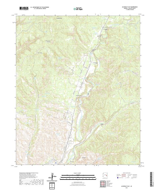
2021 Alchesay Flat
Navajo County, AZ
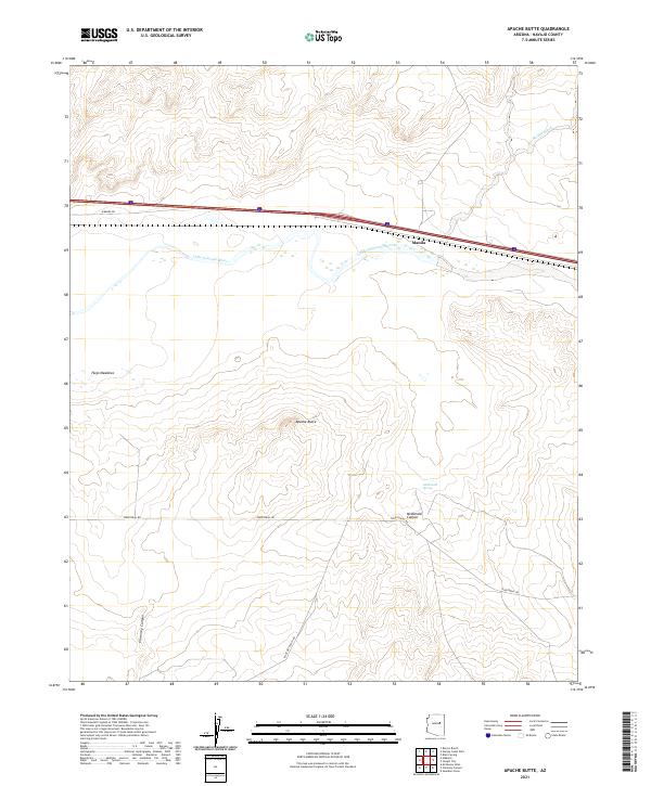
2021 Apache Butte
Navajo County, AZ
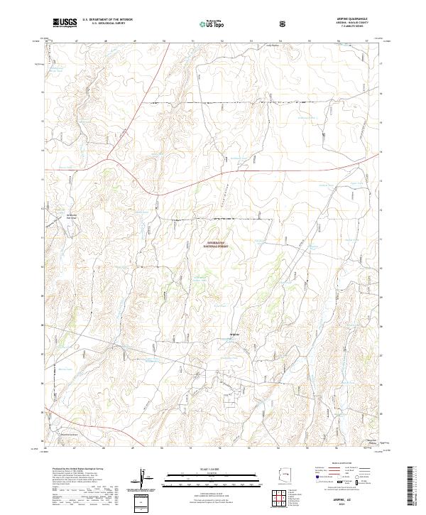
2021 Aripine
Navajo County, AZ
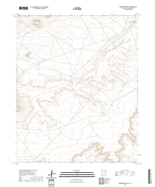
2021 Arrowhead Butte
Navajo County, AZ
2021 Baby Rocks
Navajo County, AZ
2021 Bear Ridge
Navajo County, AZ
2021 Big Mountain Dam
Navajo County, AZ
2021 Big Point
Navajo County, AZ
2021 Big Pug Tank
Navajo County, AZ
2021 Bird Springs Wash
Navajo County, AZ
2021 Black Mesa Wash NE
Navajo County, AZ
2021 Black Mesa Wash NW
Navajo County, AZ
2021 Blairs Spring
Navajo County, AZ
2021 Bonito Prairie
Navajo County, AZ
2021 Boot Mesa
Navajo County, AZ
2021 Brookbank Point
Navajo County, AZ
2021 Bubbling Spring Canyon
Navajo County, AZ
2021 Burnt Corn Spring
Navajo County, AZ
2021 Burro Spring
Navajo County, AZ
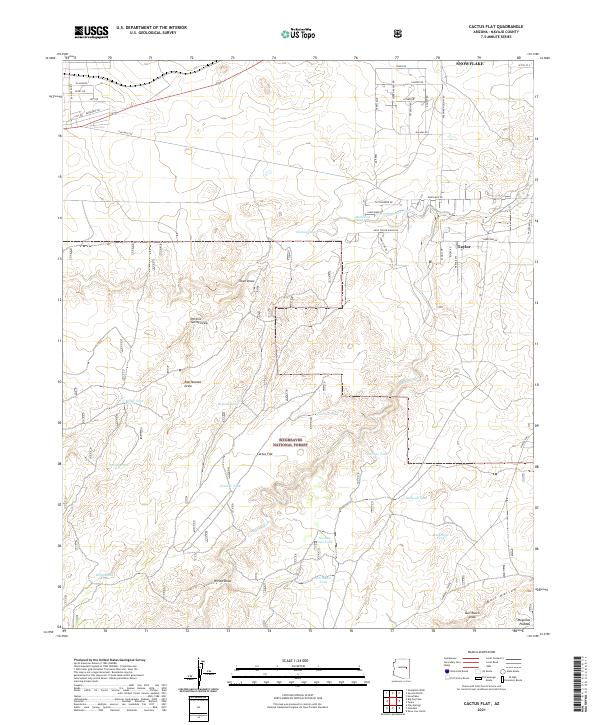
2021 Cactus Flat
Navajo County, AZ
2021 Carrizo Butte
Navajo County, AZ
2021 Cattle Canyon
Navajo County, AZ
2021 Chediski Peak
Navajo County, AZ
2021 Chilchinbito Canyon
Navajo County, AZ
2021 Chimney Butte
Navajo County, AZ
2021 Chimney Canyon
Navajo County, AZ
2021 Church Rock
Navajo County, AZ
2021 Clear Creek Reservoir
Navajo County, AZ
2021 Cliff Rose Hill
Navajo County, AZ
2021 Coat Spring
Navajo County, AZ
2021 Day Spring
Navajo County, AZ
2021 Dry Lake NE
Navajo County, AZ
2021 Dry Lake NW
Navajo County, AZ
2021 Echo Canyon
Navajo County, AZ
2021 Egloffstein Butte
Navajo County, AZ
2021 Elephant Butte
Navajo County, AZ
2021 Faught Ridge
Navajo County, AZ
2021 First Flat Mesa
Navajo County, AZ
2021 Five Buttes
Navajo County, AZ
2021 Flattop Hill
Navajo County, AZ
2021 French Butte
Navajo County, AZ
2021 Giants Chair
Navajo County, AZ
2021 Greasewood Spring
Navajo County, AZ
2021 Great Spring
Navajo County, AZ
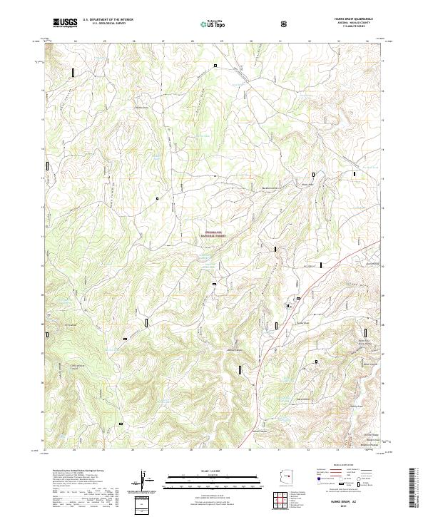
2021 Hanks Draw
Navajo County, AZ
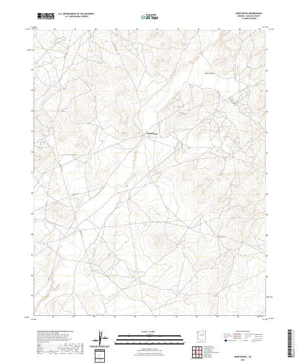
2021 Hard Rocks
Navajo County, AZ
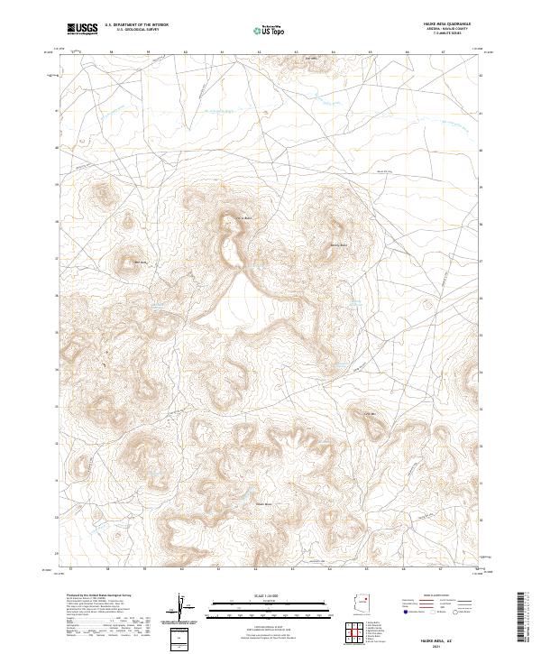
2021 Hauke Mesa
Navajo County, AZ
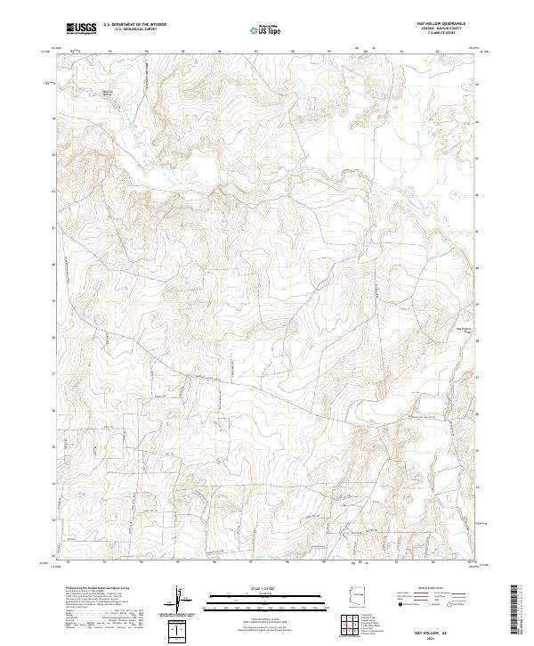
2021 Hay Hollow
Navajo County, AZ
2021 Heber
Navajo County, AZ
2021 Hennessy Buttes
Navajo County, AZ
2021 Hibbard
Navajo County, AZ
2021 Hole In Rock Valley
Navajo County, AZ
2021 Hotevilla
Navajo County, AZ
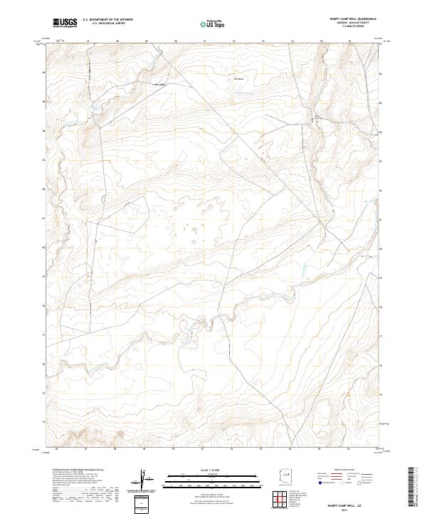
2021 Humpy Camp Well
Navajo County, AZ

2021 Indian Pine
Navajo County, AZ
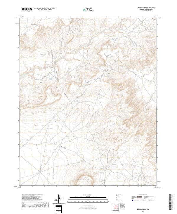
2021 Jeddito Spring
Navajo County, AZ
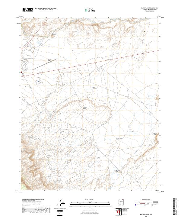
2021 Kayenta East
Navajo County, AZ
2021 Kayenta West
Navajo County, AZ
2021 Keet Seel Canyon
Navajo County, AZ
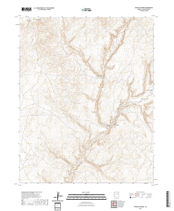
2021 Kydestea Spring
Navajo County, AZ

2021 Kykotsmovi
Navajo County, AZ
2021 Lakeside
Navajo County, AZ

2021 Lamb Well
Navajo County, AZ
2021 Lee Mountain
Navajo County, AZ
2021 Limestone Canyon North
Navajo County, AZ
2021 Limestone Canyon South
Navajo County, AZ
2021 Little Black Spot Mountain
Navajo County, AZ
2021 Little Lithodendron Tank
Navajo County, AZ
2021 Long House Valley
Navajo County, AZ
2021 Long Tom Canyon
Navajo County, AZ
2021 Marsh Pass
Navajo County, AZ
2021 Marsh Pass SE
Navajo County, AZ
2021 McCauley Sinks
Navajo County, AZ
2021 Mesa Redonda NW
Navajo County, AZ
2021 Mitten Buttes
Navajo County, AZ
2021 Mitten Peak
Navajo County, AZ
2021 Montezumas Chair
Navajo County, AZ
2021 Montezumas Chair NW
Navajo County, AZ
2021 Mowaapi
Navajo County, AZ
2021 Mystery Valley
Navajo County, AZ
2021 Na Ah Tee Canyon
Navajo County, AZ
2021 Oak Creek Ranch
Navajo County, AZ
2021 Oak Springs
Navajo County, AZ
2021 Onion Spring
Navajo County, AZ
2021 Outlaw Draw
Navajo County, AZ
2021 Owl Spring
Navajo County, AZ
2021 Owl Valley
Navajo County, AZ
2021 Padilla Tank
Navajo County, AZ
2021 Pepper Canyon
Navajo County, AZ
2021 Pilot Rock
Navajo County, AZ
2021 Pinon NW
Navajo County, AZ
2021 Point of the Mountain
Navajo County, AZ
2021 Polacca
Navajo County, AZ
2021 Porter Canyon
Navajo County, AZ
2021 Potato Wash NE
Navajo County, AZ
2021 Potato Wash North
Navajo County, AZ
2021 Potato Wash South
Navajo County, AZ
2021 Red Knoll
Navajo County, AZ
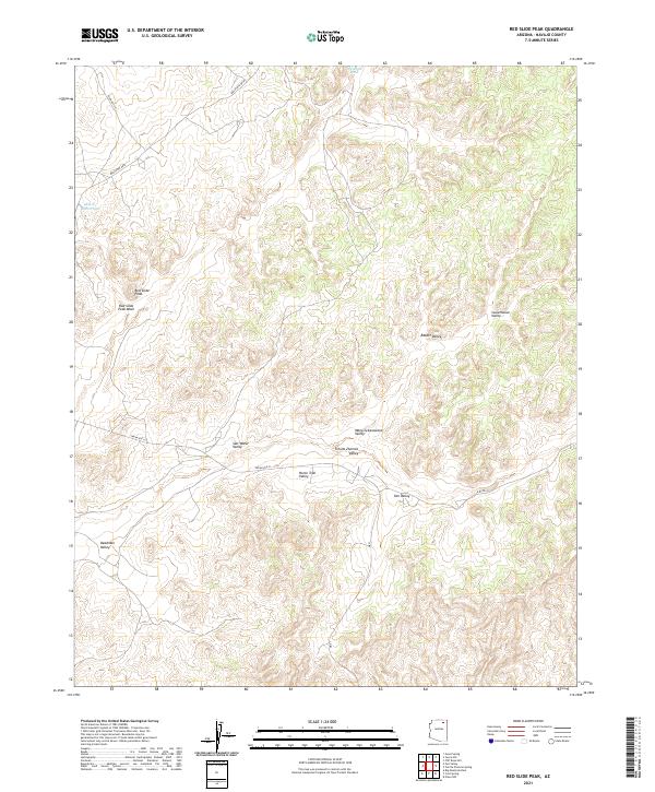
2021 Red Slide Peak
Navajo County, AZ
2021 Red Top Mountain
Navajo County, AZ
2021 Red Willow Spring
Navajo County, AZ
2021 Rincon Ranch
Navajo County, AZ
2021 Rocky Ridge NE
Navajo County, AZ
2021 Rocky Ridge NW
Navajo County, AZ
2021 Rocky Ridge SE
Navajo County, AZ
2021 Rocky Ridge SW
Navajo County, AZ
2021 Rotten Bananas Butte
Navajo County, AZ
2021 Satan Butte
Navajo County, AZ
2021 Saunders Draw
Navajo County, AZ
2021 Second Knolls
Navajo County, AZ
2021 Segihatsosi Canyon
Navajo County, AZ
2021 Sheepskin Wash
Navajo County, AZ
2021 Shonto Butte
Navajo County, AZ
2021 Shonto NW
Navajo County, AZ
2021 Shonto SE
Navajo County, AZ
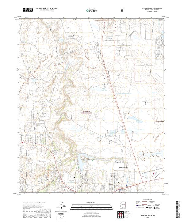
2021 Show Low North
Navajo County, AZ
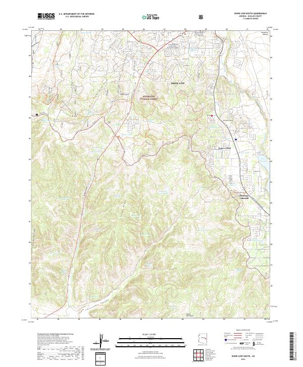
2021 Show Low South
Navajo County, AZ
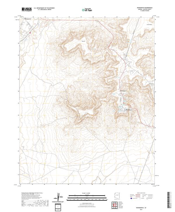
2021 Shungopavi
Navajo County, AZ
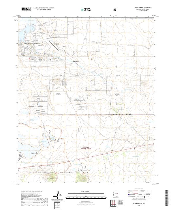
2021 Silver Springs
Navajo County, AZ
2021 Snake Butte
Navajo County, AZ
2021 Spotted Mountain
Navajo County, AZ
2021 Standing Horse Mesa
Navajo County, AZ
2021 Star Mountain
Navajo County, AZ
2021 Sun Altar
Navajo County, AZ
2021 Sunflower Butte
Navajo County, AZ
2021 Tall Mountain
Navajo County, AZ
2021 Tall Mountain NW
Navajo County, AZ
2021 Tenmile Cedars
Navajo County, AZ
2021 Toh Ne Zhonnie Spring
Navajo County, AZ
2021 Tovar Mesa East
Navajo County, AZ
2021 Tovar Mesa West
Navajo County, AZ
2021 Tsin Naan Tee
Navajo County, AZ
2021 Turkey Track Butte
Navajo County, AZ
2021 Twentymile Hill
Navajo County, AZ
2021 Wepo Village
Navajo County, AZ
2021 Whippoorwill Spring
Navajo County, AZ
2021 White Cone
Navajo County, AZ
2021 Winslow NE
Navajo County, AZ
2021 Winslow NW
Navajo County, AZ
2021 Yucca Hill
Navajo County, AZ
2021 Zeniff
Navajo County, AZ
2023 Cliff Rose Hill
Navajo County, AZ
2023 Potato Wash NE
Navajo County, AZ
2023 Potato Wash South
Navajo County, AZ
2023 Red Knoll
Navajo County, AZ
2026 Baby Rocks
Navajo County, AZ
2026 Big Point
Navajo County, AZ
2026 Black Mesa Wash NE
Navajo County, AZ
2026 Black Mesa Wash NW
Navajo County, AZ
2026 Cattle Canyon
Navajo County, AZ
2026 Chimney Butte
Navajo County, AZ
2026 Church Rock
Navajo County, AZ
2026 Dry Lake NE
Navajo County, AZ
2026 Dry Lake NW
Navajo County, AZ
2026 Echo Canyon
Navajo County, AZ
2026 Elephant Butte
Navajo County, AZ
2026 Kydestea Spring
Navajo County, AZ
2026 Marsh Pass
Navajo County, AZ
2026 Oak Creek Ranch
Navajo County, AZ
2026 Porter Canyon
Navajo County, AZ
2026 Rocky Ridge NW
Navajo County, AZ
2026 Saunders Draw
Navajo County, AZ
2026 Sun Altar
Navajo County, AZ