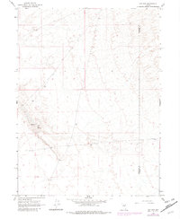
1965 Map of Hot Pot
USGS Topo · Published 1981About this map
Hot Pot and the surrounding Hot Springs define this high-desert basin along the border of Humboldt and Lander Counties. This 1965 survey, updated with 1981 revisions, documents a largely unpopulated landscape where geothermal activity and subsurface water are the primary points of interest. The presence of a isolated Well suggests the ongoing importance of water resources for cattle ranching or mineral exploration in this arid stretch of Nevada. The topography is characterized by subtle drainage patterns and elevation changes, illustrating the transition from flat basin floors to the rising foothills. The lack of established settlements emphasizes the remote nature of this region during the mid-to-late 20th century.
Find a feature on this map
4 named features on this map. Tap any name to fly to it.
Don’t see what you’re looking for? This feature index may not catch every label — zoom into the map to look around manually.
Map Details
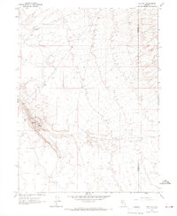
Editions of this 1965 Hot Pot Map
2 editions found
Other maps of this area

1882 · Paradise
USGS Topo · 1:250,000

1893 · Paradise
USGS Topo · 1:250,000

1932 · Sonoma Range
USGS Topo · 1:250,000

1939 · Sonoma Range
USGS Topo · 1:250,000

1955 · McDermitt
USGS Topo · 1:250,000

1955 · Winnemucca
USGS Topo · 1:250,000

1958 · Winnemucca
USGS Topo · 1:250,000

1959 · McDermitt
USGS Topo · 1:250,000

1962 · Winnemucca
USGS Topo · 1:250,000

1965 · Knight
USGS Topo · 1:24,000