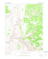
1963 Map of Grand Gulch
USGS Topo · Published 1973About this map
Cliff Dwelling sites and Petroglyphs are scattered across this canyon-and-mesa landscape, documented by the Geological Survey in cooperation with the Atomic Energy Commission. The survey illustrates the deep-cut drainage systems of Grand Gulch and Slickhorn Canyon as they descend toward the San Juan River and the rising waters of Lake Powell. Evidence of prehistoric habitation is found alongside mid-century infrastructure, including a remote Landing Strip and various Drill Holes. To the south, the Navajo Indian Reservation meets the Glen Canyon National Recreation Area boundary. The map captures an era of increasing archaeological and geological interest, where named watering spots like Red House Spring and Sulphur Spring remained critical landmarks for those navigating the plateau. These records provide a precise view of the terrain before extensive modern recreation altered the accessibility of the region.
Find a feature on this map
39 named features on this map. Tap any name to fly to it.
Don’t see what you’re looking for? This feature index may not catch every label — zoom into the map to look around manually.
Map Details
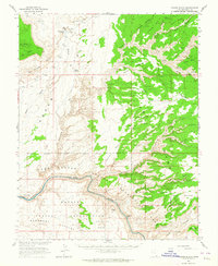
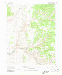
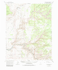
Editions of this 1963 Grand Gulch Map
4 editions found
Other maps of this area

1886 · Henry Mountains
USGS Topo · 1:250,000

1886 · Abajo
USGS Topo · 1:250,000

1892 · Abajo
USGS Topo · 1:250,000

1892 · Henry Mountains
USGS Topo · 1:250,000

1893 · Abajo
USGS Topo · 1:250,000

1935 · Elk Ridge
USGS Topo · 1:96,000

1940 · Elk Ridge
USGS Topo · 1:125,000

1952 · Mancos Mesa
USGS Topo · 1:62,500

1952 · Natural Bridges
USGS Topo · 1:62,500

1952 · Oljeto
USGS Topo · 1:62,500