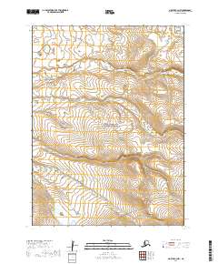
2019 Map of Noatak C-4 NW
USGS Topo · Published 2019About this map
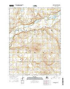
Cape Krusenstern National Monument occupies the central and southern portions of this Arctic landscape, preserving a coastline that has seen thousands of years of human habitation. The terrain is defined by the tundra-covered slopes of the Mulgrave Hills and Asiglirangik Hill, where small drainage systems like the Omikviorok River cut across the landscape toward the Chukchi Sea. Near the northern boundary, Imikruk Lake sits as a prominent landmark in this transition from hills to coastal plains. While much of the land is preserved for its archaeological and ecological significance, the presence of the Red Dog Mine Haul Road in the southeast corner marks the intersection of traditional land use and modern industrial infrastructure. This specialized transport route serves as a critical link for mineral extraction in the region, cutting through the low ridges of the eastern hills.
Find a feature on this map
11 named features on this map. Tap any name to fly to it.
Don’t see what you’re looking for? This feature index may not catch every label — zoom into the map to look around manually.
Map Details
Editions of this 2019 Noatak C-4 NW Map
This is the sole edition of this map. No revisions or reprints were ever made.
Other maps of this area

1951 · Noatak
USGS Topo · 1:250,000
1952 · Noatak C-5
USGS Topo · 1:63,360

1955 · Noatak
USGS Topo · 1:250,000

1955 · Noatak D-4
USGS Topo · 1:63,360

1955 · Noatak C-4
USGS Topo · 1:63,360
1955 · Noatak D-5
USGS Topo · 1:63,360

1964 · Noatak
USGS Topo · 1:250,000
2014 · Noatak D-4 SE
USGS Topo · 1:25,000
2014 · Noatak D-4 SW
USGS Topo · 1:25,000
2014 · Noatak C-4 SE
USGS Topo · 1:25,000