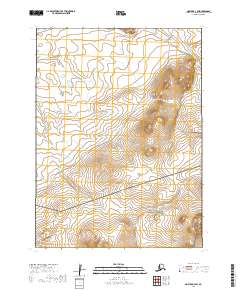
2019 Map of Noatak D-3 SW
USGS Topo · Published 2019About this map
Cape Krusenstern National Monument occupies the southern portion of this Arctic landscape, where the northern reaches of the Mulgrave Hills transition into the drainages of the Omikviorok River. The map illustrates a remote industrial corridor defined by the Red Dog Mine Road, which snakes through the elevations between Sivurak Bluff and the upper reaches of Tutuk Cr. This area represents a critical intersection of federal protected lands and the infrastructure required for one of the world's most significant mining operations in the Northwest Arctic. The topographical data reveals the logistical challenges of the terrain, showing how the roadway navigates the contours of the hills to connect the inland mineral resources with the coast.
Find a feature on this map
12 named features on this map. Tap any name to fly to it.
Don’t see what you’re looking for? This feature index may not catch every label — zoom into the map to look around manually.
Map Details
Editions of this 2019 Noatak D-3 SW Map
This is the sole edition of this map. No revisions or reprints were ever made.
Other maps of this area

1951 · Noatak
USGS Topo · 1:250,000

1955 · Noatak
USGS Topo · 1:250,000

1955 · Noatak D-4
USGS Topo · 1:63,360

1955 · Noatak D-3
USGS Topo · 1:63,360

1955 · Noatak C-4
USGS Topo · 1:63,360

1955 · Noatak C-3
USGS Topo · 1:63,360

1964 · Noatak
USGS Topo · 1:250,000
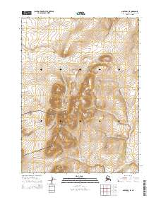
2014 · Noatak D-3 SE
USGS Topo · 1:25,000
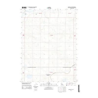
2014 · Noatak D-4 SE
USGS Topo · 1:25,000
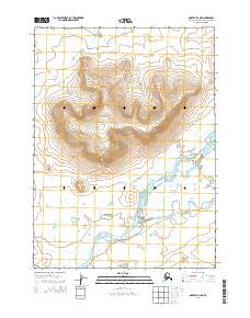
2014 · Noatak D-4 NE
USGS Topo · 1:25,000