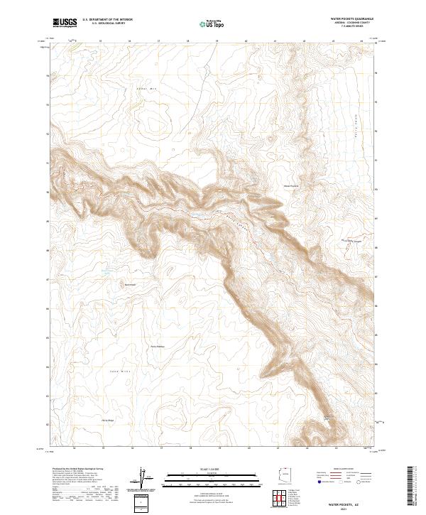
2021 Map of Water Pockets
USGS Topo · Published 2021About this map
The Paria River carves a deep path through this section of Coconino County, defining the central geography as it winds through Paria Canyon. This 2021 topographic survey highlights the stark transition between the elevated Paria Plateau and the dramatic drop of the Vermilion Cliffs in the southeast. Named for the natural depressions that collect seasonal runoff, the Water Pockets area remains a landscape defined by water and stone. To the north, Cedar Mtn and Ferry Swale characterize the high ground, while specialized infrastructure like the Bush Head Tank indicates the management of scarce resources in this arid environment. Backcountry navigation is marked by the 1582 Trl and 1571 Trl, which provide the only formal routes across the Sand Hills and along the canyon rims.
Find a feature on this map
20 named features on this map. Tap any name to fly to it.
Don’t see what you’re looking for? This feature index may not catch every label — zoom into the map to look around manually.
Map Details
Editions of this 2021 Water Pockets Map
This is the sole edition of this map. No revisions or reprints were ever made.
Other maps of this area

1886 · Escalante
USGS Topo · 1:250,000

1886 · Echo Cliffs
USGS Topo · 1:250,000

1891 · Echo Cliffs
USGS Topo · 1:250,000

1951 · Lees Ferry NE
USGS Topo · 1:24,000

1953 · Nipple Butte
USGS Topo · 1:62,500

1954 · Lees Ferry NW
USGS Topo · 1:24,000

1954 · Paria Plateau SE
USGS Topo · 1:24,000

1954 · Lees Ferry SE
USGS Topo · 1:24,000

1954 · Lees Ferry SW
USGS Topo · 1:24,000

1954 · Lees Ferry
USGS Topo · 1:62,500