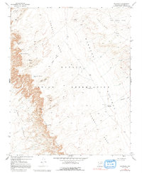
1969 Map of Goldtooth
USGS Topo · Published 1991About this map
Navajo Indian Reservation lands within Coconino County define this arid landscape, where the shifting topography of Sand Dunes meets the structural elevations of Tohnali Mesa and Coal Mine Mesa. The 1969 field survey reveals a terrain shaped by wind and water, marked by distinctive landforms like Hogan Ridge and the dramatic drop of the Adeii Eechii Cliffs into the lower elevations of Ward Terrace. Human presence in this high-desert environment is represented by the settlement of Goldtooth and scattered vital water sources like Seller Spring, Spring On The Rock, and The Big Lake. A specialized network of Pack Trails and four-wheel-drive tracks connects these remote points, emphasizing the traditional transportation patterns used to navigate the extensive Moenkopi Plateau and the seasonal drainage basins of Big Wash and Chiehazhahi Wash.
Find a feature on this map
23 named features on this map. Tap any name to fly to it.
Don’t see what you’re looking for? This feature index may not catch every label — zoom into the map to look around manually.
Map Details
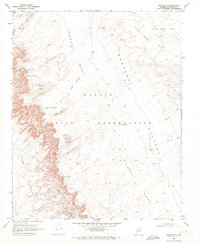
Editions of this 1969 Goldtooth Map
2 editions found
Other maps of this area

1886 · San Francisco Mtns
USGS Topo · 1:250,000

1886 · Echo Cliffs
USGS Topo · 1:250,000

1891 · San Francisco Mtns
USGS Topo · 1:250,000

1891 · Echo Cliffs
USGS Topo · 1:250,000

1894 · San Francisco Mtns
USGS Topo · 1:250,000

1899 · San Francisco Mtns
USGS Topo · 1:250,000

1947 · Flagstaff
USGS Topo · 1:250,000

1954 · Flagstaff
USGS Topo · 1:250,000
1955 · Cameron SE
USGS Topo · 1:24,000

1955 · Cameron
USGS Topo · 1:62,500