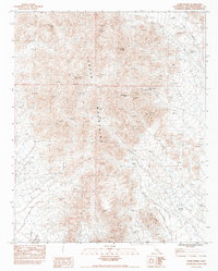
1983 Map of Horn Spring
USGS Topo · Published 1983About this map
Turtle Mountains topography dominates this 1983 survey of the California desert, where the arid landscape is defined by extensive drainage networks such as the Vidal Valley. The map highlights the isolation of mineral exploration in this corner of San Bernardino County, centered on the Virginia May Mine. Resource extraction and water scarcity are central themes, evidenced by the presence of Horn Spring (Dry) and prominent landmarks like Horn Peak and Terrapin. The detailed contour mapping reveals the complex landforms of Black Ridge, while numerous survey markers and bench marks trace the pathways of earlier geological field checks. This provisional edition preserves the industrial and natural character of the high desert before modern developments altered the access to these remote peaks and dry washes.
Find a feature on this map
26 named features on this map. Tap any name to fly to it.
Don’t see what you’re looking for? This feature index may not catch every label — zoom into the map to look around manually.
Map Details
Editions of this 1983 Horn Spring Map
This is the sole edition of this map. No revisions or reprints were ever made.
Other maps of this area

1943 · Turtle Mts.
USGS Topo · 1:62,500

1943 · Vidal
USGS Topo · 1:62,500

1949 · Vidal
USGS Topo · 1:62,500

1950 · Vidal
USGS Topo · 1:62,500

1950 · Savahia Peak
USGS Topo · 1:62,500

1951 · Savahia Peak
USGS Topo · 1:62,500

1954 · Needles
USGS Topo · 1:250,000

1954 · Turtle Mountains
USGS Topo · 1:62,500

1954 · Rice
USGS Topo · 1:62,500

1956 · Needles
USGS Topo · 1:250,000